Press "Enter" to skip to content

Tag: south fork

Mountains of Minerals: Velocity & Richmond Basins

San Juan Triangle | Friday – Sunday, July 12-14, 2024

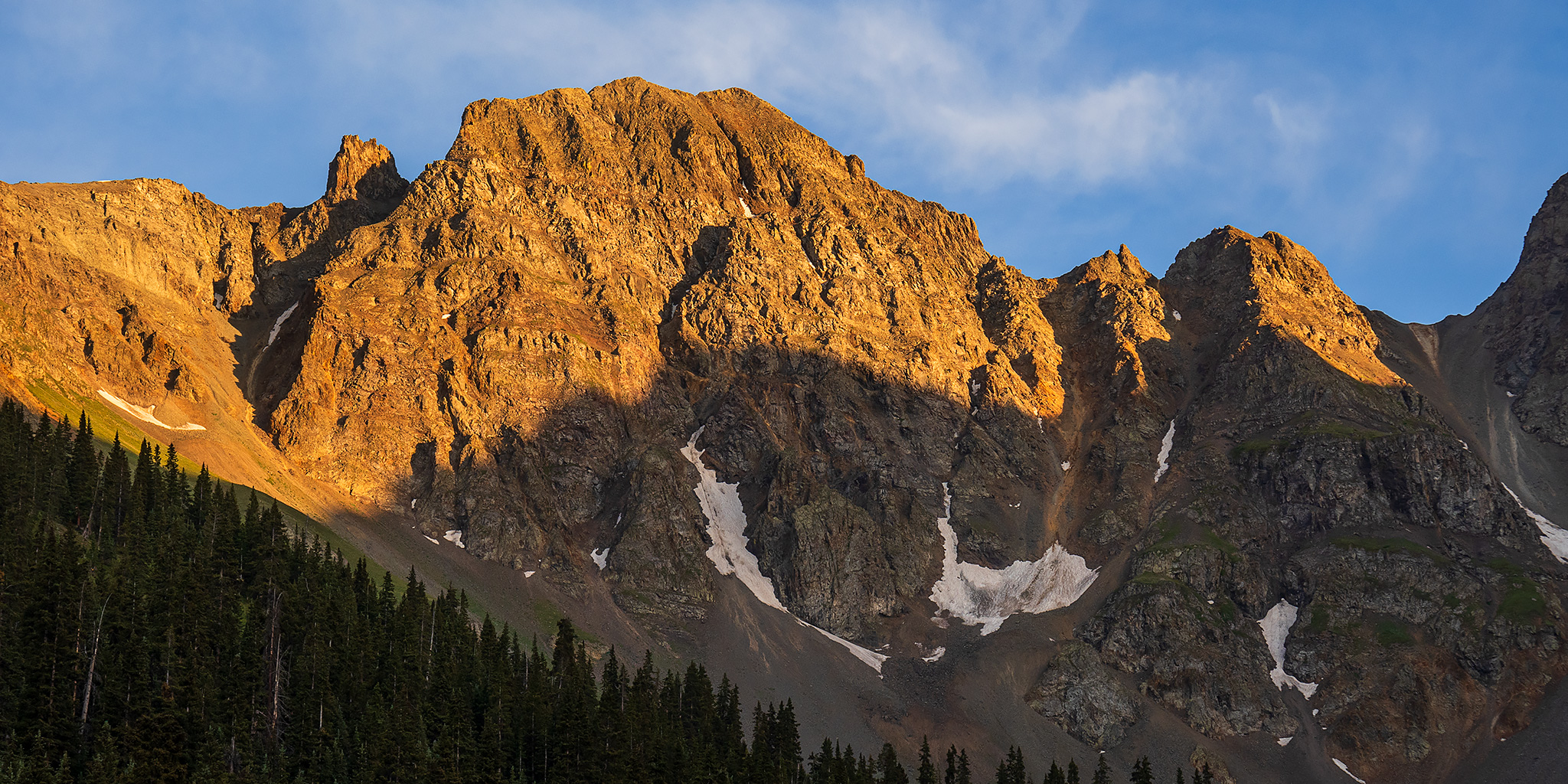
After spending Thursday on the Colorado River in Westwater Canyon, I returned to work on Friday and then headed out afterwards to spend the weekend hiking in the San Juan Mountains between Silverton and Ouray. After making my way over Red Mountain Pass on the Million Dollar Highway to Silverton, I followed Cement Creek up into Velocity Basin and went for an evening hike along the shore of the little lake in the basin before finding a nearby campsite and getting to bed not long after sunset. Although hot, dry air has dominated the region for the past couple of weeks, afternoon storms were predicted to make a return this weekend, so I would have to make sure my hikes were planned accordingly by getting early starts.

Leave a Comment
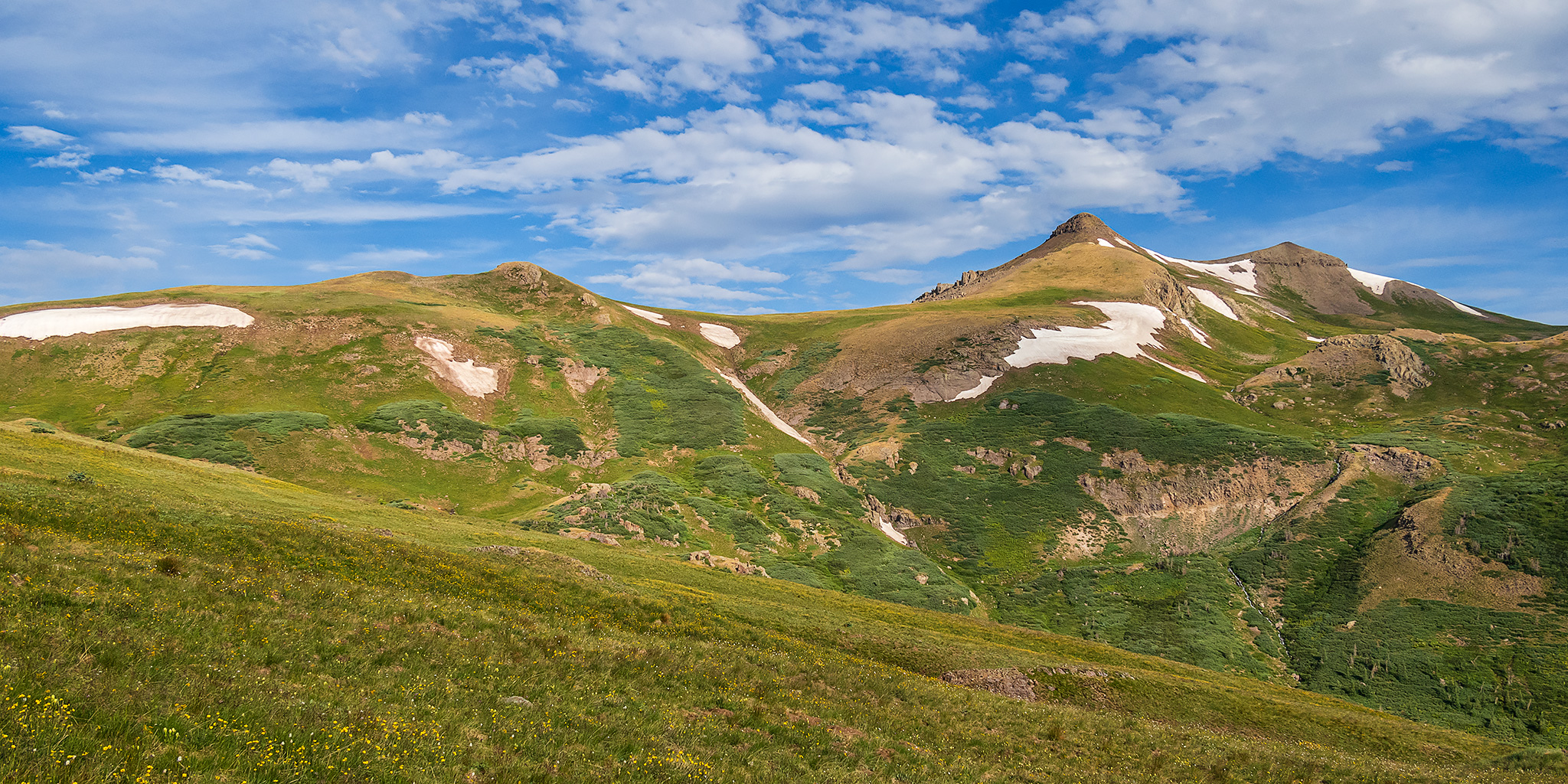
South San Juan Mountains from Elwood Pass

Friday – Monday, July 28 – 31, 2023

After spending the last two days around the Animas River Valley between Coal Bank Pass and Durango, I decided to spend the next couple of days further south and east in a distant part of the San Juan Mountains that I don’t get around to visiting very often. I’ve definitely been long overdue for another visit to the South San Juan Mountains between Wolf Creek Pass and the New Mexico state line and figured that this would be a good opportunity to get back since it wasn’t too much further away. After the GIS Colorado Summer Meetup concluded late in the morning on Friday I packed up my Jeep and made my way over to Pagosa Springs to continue on with the next leg of the trip.

4 Comments

The Mogollon Rim to Lyman Lake State Park

Along the Upper Little Colorado River | Alternate Plans: Back on the Four Corners Circuit
Thursday – Friday, May 26-27, 2022

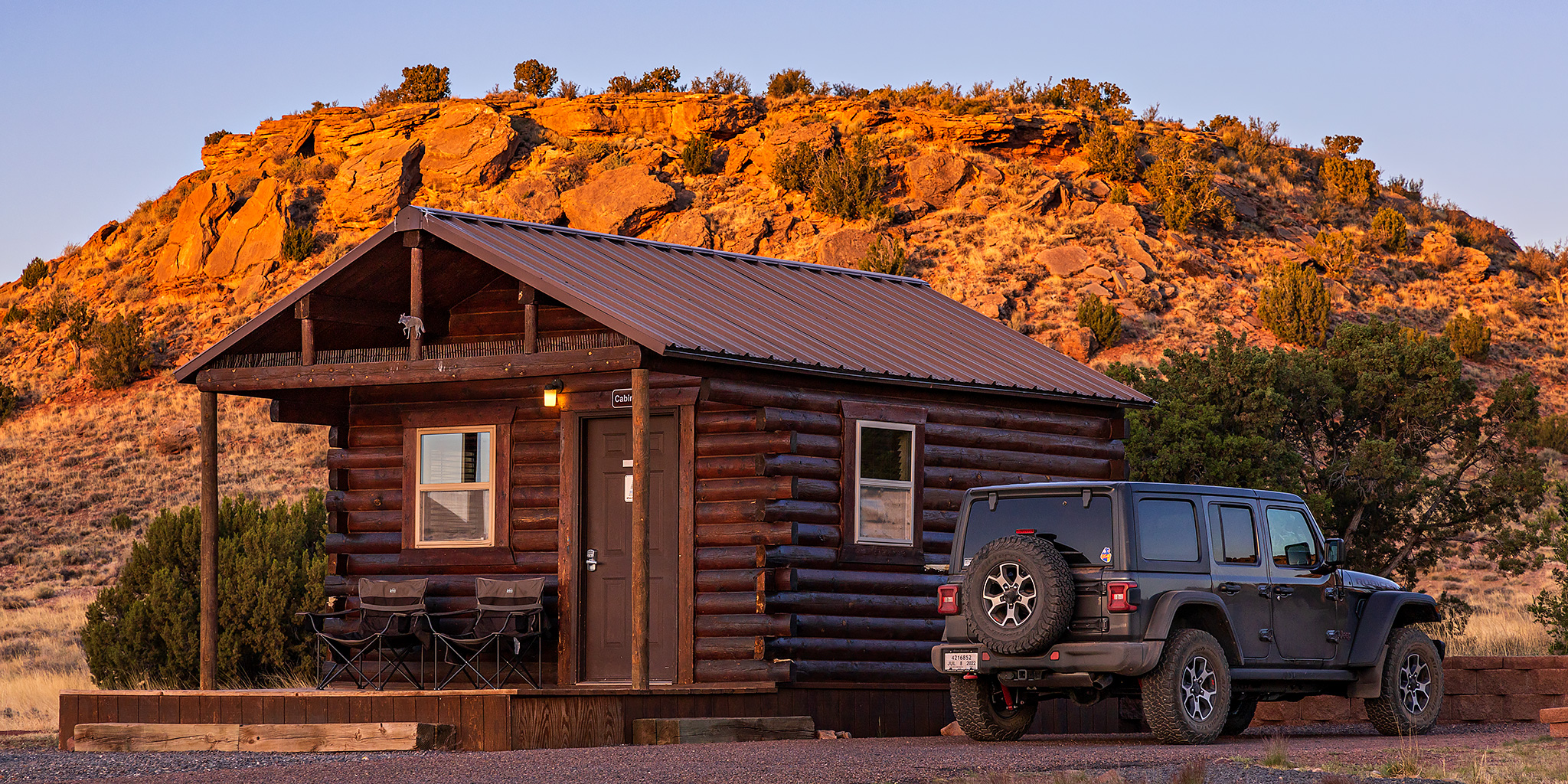
After spending two days in Petrified Forest National Park and then a brief stay in Pinetop, it was time to continue on our loop and start making our way back east and north with an overnight stay at Lyman Lake State Park. We were up and on our way early on Thursday morning as we went on a pleasant drive along the edge of the Mogollon Rim and through the White Mountains to the headwaters of the Little Colorado River. We took a break from driving to search some volcanic cliffs along the Little Colorado River for petroglyphs, and managed to find a couple.

Leave a Comment

Under The Ledge: Trails in the Land of Standing Rocks

Lost In The Maze II | Wednesday – Sunday, April 6-10, 2022

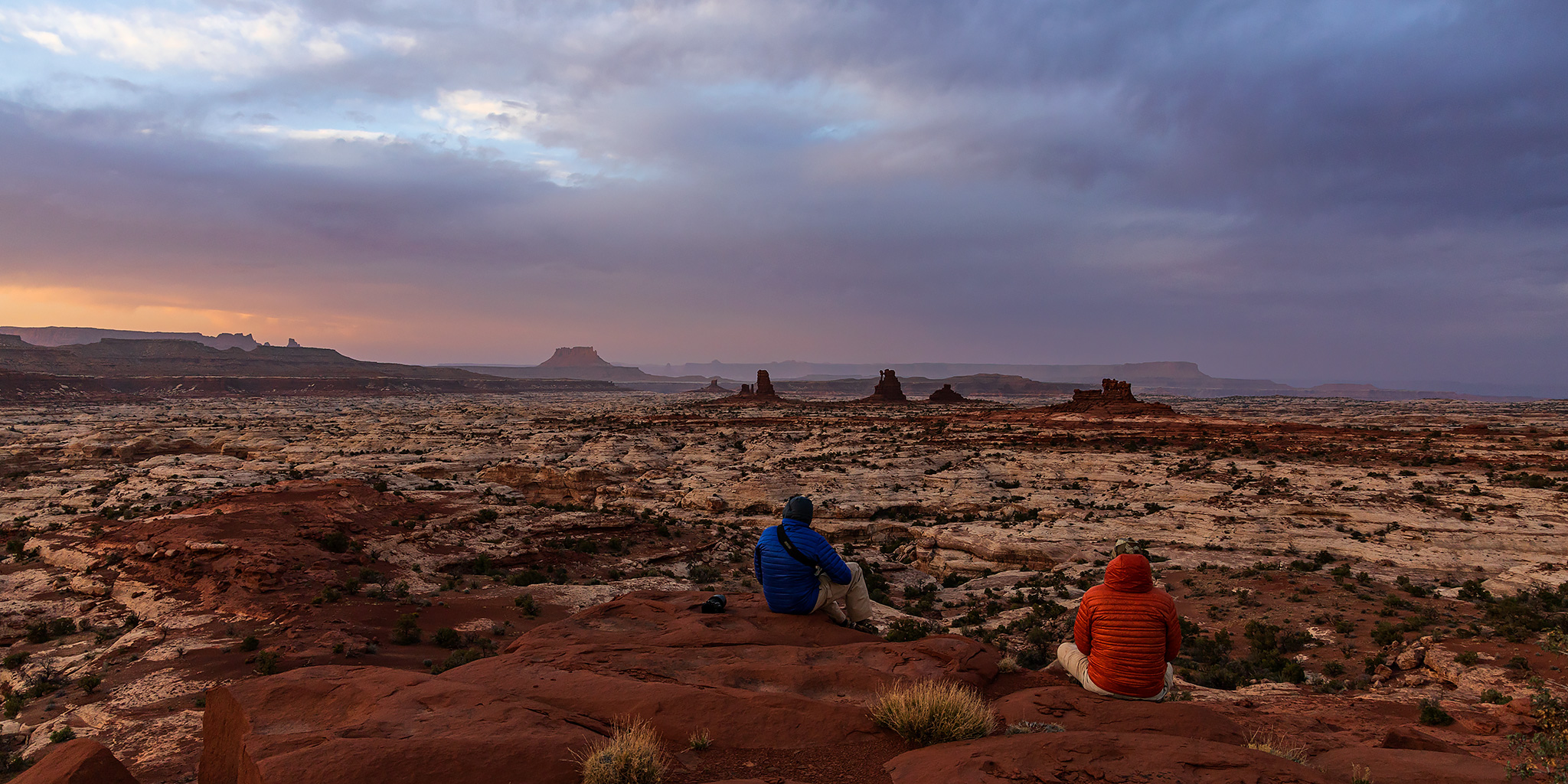
I can hardly believe it’s been just over four years since my last visit to the Land of Standing Rocks in Canyonlands National Park. It feels like it was just yesterday when Diane and I were heading out to The Maze over the long Memorial Day weekend each spring, and I’ve recently had a strong desire to return. After completing all the trails in The Needles and the Island in the Sky in 2018 and 2019 respectively, The Maze is the only remaining district of Canyonlands where I have not hiked every official trail on the map, so I figured it was time to head back and continue working on completing that personal goal. That’s part of the reason I hiked down the North Trail late last year. So back in early November I got on Rec.gov and booked couple campsites in the Land of Standing Rocks, two nights at Chimney Rock and two nights at The Wall, which seemed like a good place to basecamp for the trails that I wanted to hike this time. My friend Jerry, Jared and Dave were going to be joining me on this trip, but unfortunately Jerry got sick just before the trip started and was unable to make it this time.

5 Comments

Robbers Roost Canyon

Friday – Saturday, March 2-3, 2018

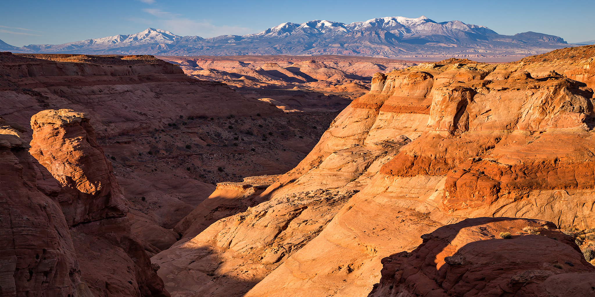
I left after work on Friday and made my way west into Utah where I stopped in Green River for dinner and fuel. I continued south towards Hanksville in the dark and then took the familiar left turn onto the road to Hans Flat. It had been pretty windy all day and was supposed to stay that way overnight and through Saturday. This meant there were a few sections of the road that were completely covered with sand dunes, so I had to be careful not to hit them going too fast. After I passed the road to Green River and Horseshoe Canyon I came to Robbers Roost Flat and the road that would take me out to Angel Point, where I planned to spend the night and start hiking from in the morning. I’ve driven by this intersection in the road near Burr Pass countless times in the past on my way to the Maze District of Canyonlands National Park, but I’d never made the right turn before. It was finally time to head in that direction and to start exploring the canyons in this area!

4 Comments