Press "Enter" to skip to content

Tag: pole canyon

( ЯR ) The Rimrocker Trail: Montrose to Moab

Getting Lost in the West End: Across the Uncompahgre Plateau & La Sal Mountains
Friday – Sunday, June 7-9, 2024

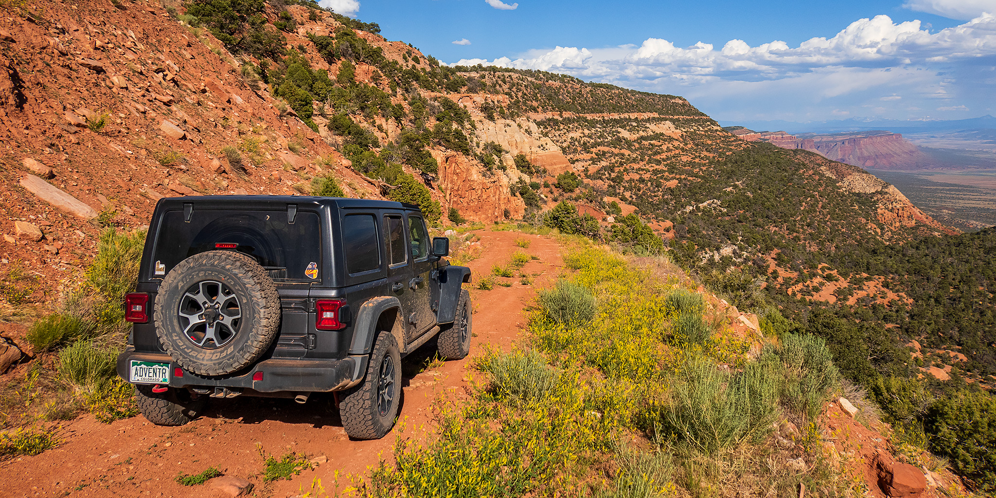
After having an amazing time on the river in Cataract Canyon last weekend, I wanted to take it easy and stay a bit closer to home this weekend. With warmer temperatures in the valleys and still too much snow in the high country for me, I thought this might be a great opportunity to finally take a scenic weekend drive across the Uncompahgre Plateau and La Sal Mountains from Montrose to Moab on the Rimrocker Trail, while also taking the time to stop for a few short hikes and side trips along the way. The Rimrocker Trail was created in 2016 by linking up existing roads in this remote area of Western Colorado, many of which I have already driven over the past twenty years, especially while I was working on mapping out a 4X4 route of the Tabeguache Trail and Paradox Trail. But even though I have already driven many of these roads before, it’s been a long time and I really don’t remember very much about them, so I was looking forward to the refresher on this 160 mile route. So after spending Friday evening in Black Canyon of the Gunnison National Park, I drove across the Uncompahgre River Valley and found a campsite near Temple Park and the beginning of the Rimrocker Trail so I could get an early start on Saturday morning.

Leave a Comment
The Colorado River: Cisco Landing to Hittle Bottom

Average CFS Above the Dolores River: 26,278  //  Below the Dolores River: 32,500
Sunday, May 14, 2023

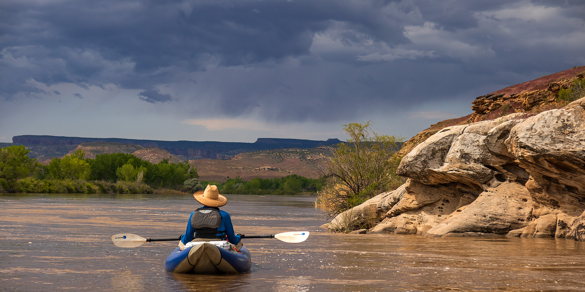
After spending five days on the Yampa River last week and then yesterday morning hiking in the Black Canyon of the Gunnison it was time for Jackson and I to get back out on the river again for a short day trip. Today we planned to float a section of the Colorado River that we had not been on before, starting from Cisco Landing and taking out at Hittle Bottom. With the water level around 30,000 CFS we knew the river was going to be high and fast, and figured that we would make it through this section of the river pretty quickly. We were right since we ended up floating all 23 miles in just about four hours and made it home by the early afternoon!

2 Comments

Lower Waring Canyon & Pole Canyon

Sunday, December 20, 2020

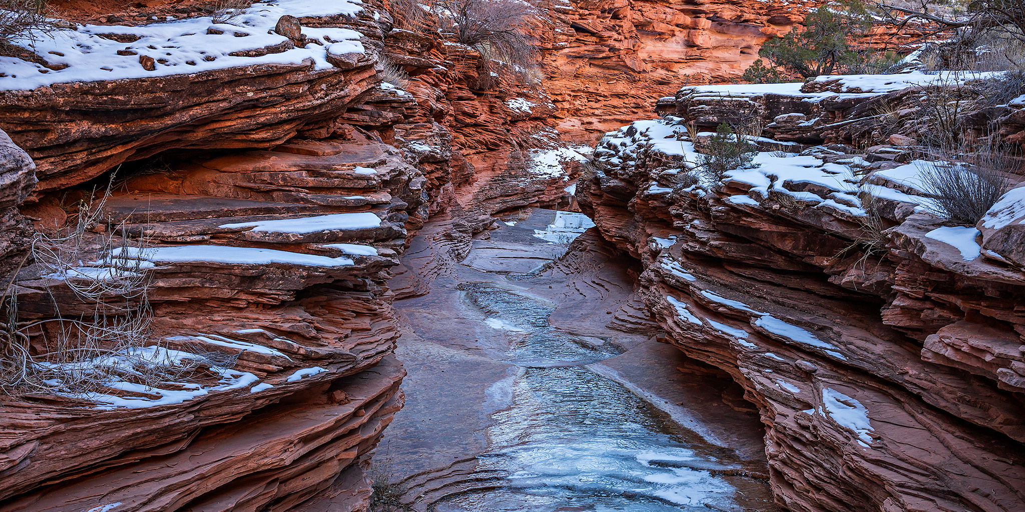
I was originally planning to spend this whole weekend out and about around the San Rafael Swell, but when I woke up early on Saturday morning to leave I wasn’t feeling very well (non-COVID symptoms) and decided to stay home for the day instead. Since I was feeling much better in the afternoon and at least wanted to try to get some local hiking in this weekend, I decided to head over to the Dewey Bridge on Sunday morning so I could explore a pair of canyons in the area. It was pretty cold out early on Sunday morning when I left home before sunrise, but was supposed to warm up into the 40’s in the afternoon. I started out the day by hiking a few miles into Waring Canyon from the Entrada Bluffs Road and then I took a short drive down to the Dolores River before hiking up Pole Canyon from the River Road along the Colorado River.

Leave a Comment

Great Basin National Park: Wheeler Peak

Across the Great Basin and Back | The Loneliest Road (Trip) in America
Tuesday & Wednesday, September 1-2, 2020

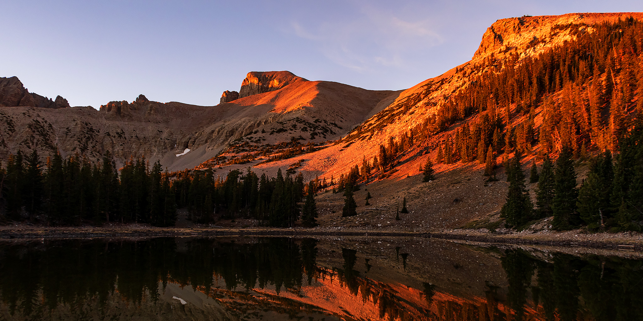
Last summer I got the idea in my head that I wanted to hike a couple of high peaks in Nevada and California over the Labor Day weekend and started putting together rough plans for a road trip that would take me Across the Great Basin and Back. Although many of my spring trips got cancelled because of COVID-19, I decided I was still going to go on this one since I would be alone and visiting more remote places during the week where I would not come into contact with a lot of other people. I mean, what better place is there to go for social distancing than by taking a road trip along one of the Loneliest Roads in America! For years I’ve wanted to visit Great Basin National Park to climb Wheeler Peak, so that’s where I decided to start this trip. Although many Nevadans consider Wheeler Peak to be the spiritual and symbolic highpoint of the state, the actual highest point in Nevada is Boundary Peak located near the western edge of the state. Whatever the status of the peak, all I knew is that I wanted to visit Great Basin National Park and hike to the summit for the view!

Leave a Comment

Middle La Sal Peak: Mount Mellenthin

La Sal Mountains Peak Bagging | South Mountain from Medicine Lakes
Friday – Sunday, July 10-12, 2020

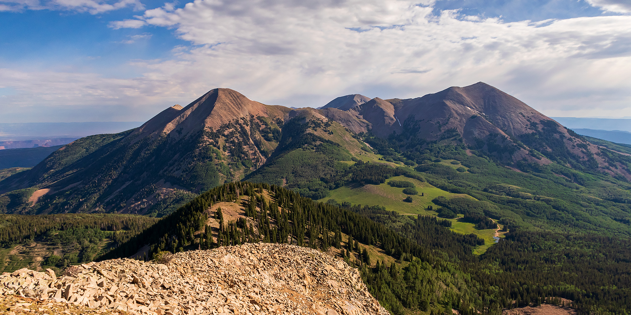
This weekend I continued my annual tradition of spending an early summer weekend peak-bagging in the La Sal Mountains near Moab. Usually I try to make this my first peak-bagging trip of the season, but this year that honor goes to Trappers Peak in the Flat Tops. Since I have now hiked all of the popular peaks in the La Sal Mountains, it is time to get started on the more obscure ones, and this trip I thought it was finally time I went for Mount Mellenthin, also known as Middle La Sal Peak, which is the second tallest peak in the La Sals after Mount Peale. I was originally planning to hike Mount Mellenthin after floating the Moab Daily a couple of weeks ago, but I had to cancel those plans when I came down with some sort of allergic reaction after getting off the river. I was looking forward to getting back into the La Sals this weekend, especially since there was a heat wave in the area and I hoped to stay cool at higher elevations!

Leave a Comment