Press "Enter" to skip to content

Tag: map

Mount Tukuhnikivatz

La Sal Mountains Peak Bagging
Independence Day Weekend | Saturday – Monday, July 2-4, 2016

“All around the peaks of the Sierra La Sal lies the desert, a sea of burnt rock, arid tablelands, barren and desolate canyons. The canyon country is revealed from this magnificent height as on a map and I can image, if not read, the names on the land.” -Edward Abbey

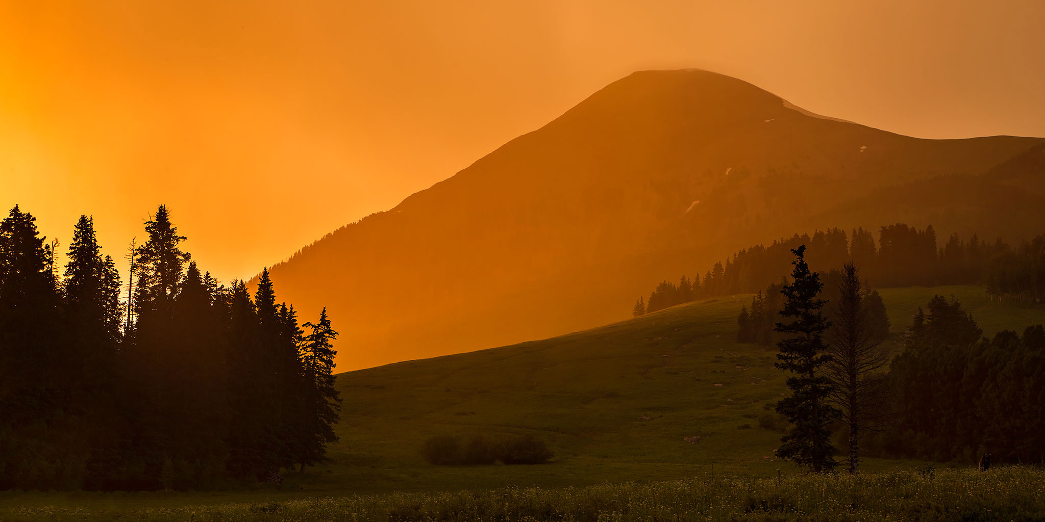
This weekend Diane and I headed to the La Sal Mountains near Moab to spend the Fourth of July weekend hiking and camping. I had intended for this to be a peak-bagging trip, but unfortunately the stormy weather would only allow me to climb Mount Tukuhnikivatz this time. Even though I didn’t get to climb more mountains this trip, we did have a nice relaxing time at camp, did a little exploring in the Jeep and I was able to photograph some nice sunrises and sunsets, thanks to the weather.

4 Comments
Beckwith Pass

Saturday, June 25, 2016

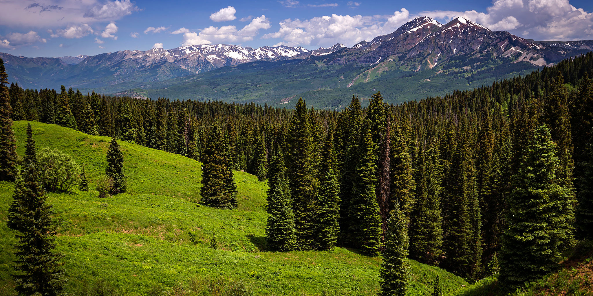
Since I’ve spent the past two weekends visiting the San Juan Mountains near Ouray, Diane and I decided to make our way over to Kebler Pass today for a little hiking in the West Elk Mountains near Crested Butte. We started just outside of the Lost Lake Slough campground and hiked up the gentle trail to Beckwith Pass, which is a low pass between East Beckwith Mountain (12,432) and the Antracite Range. While the trail never broke 10,000 feet of elevation, there were plenty of clearings that offered great views of Ruby Peak (12,644) and Mount Owen (13,058) in the Ruby Range all the way to Marcellina Mountain (11,348) and The Raggeds. I wasn’t sure what to expect with this trail but the scenery was much better than I had anticipated, plus the wildflowers were just starting to bloom. We will definitely be back to check out some of the other trails in this area, especially in the fall when the colors are changing.

Leave a Comment

Ouray Perimeter Trail

Saturday, June 18, 2016

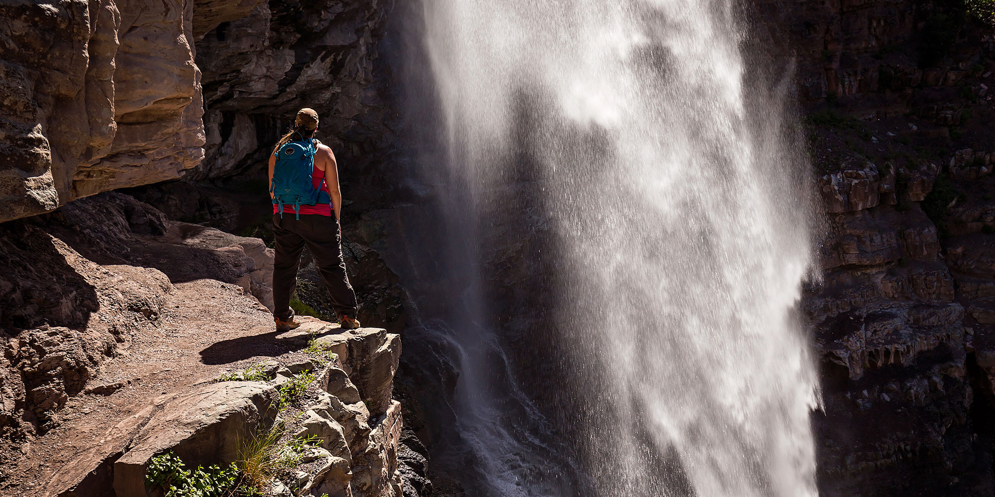
After spending last Sunday hiking just outside of Ouray, Diane and I decided to head back again today for another hike near town. I’ve wanted to hike the Ouray Perimeter Trail for a while and though that this would be a good weekend to do it. While I’ve hiked bits and pieces of the loop before, since it connects up with other shorter trails in the area, I wanted to complete the entire loop in one shot. When doing a little research on the hike, I found out that they may have recently extended the trail to include part of the Twin Peaks trail that I had hiked last year. I couldn’t find any information about this new section online, so I was looking forward to checking it out.

1 Comment

Sutton Mine Trail

Sunday, June 12, 2016

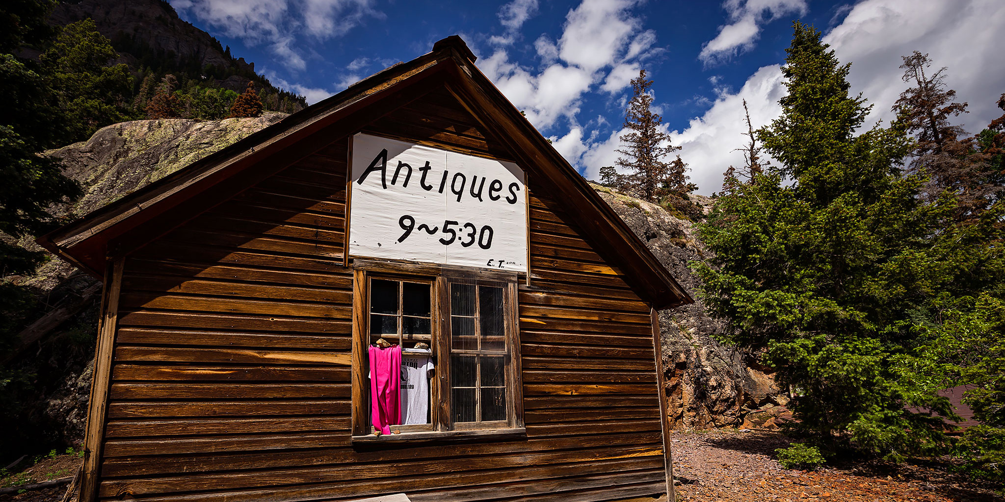
June is that time of year when the desert starts getting too hot for me and I start looking towards the mountains. After hiking Professor Creek on Saturday, I thought it would be nice to drive down to Ouray on Sunday for my first mountain hike of the season. Diane had school work to get done on Sunday so I would be on my own this time. I decided to start with an easier hike and chose the Sutton Mine Trail which is just outside of town and only about 4.5 miles round trip with about 1,500 feet of elevation gain. While this trail is called the Sutton Mine Trail, the main trail does not actually climb up to the Sutton Mine and instead ends at the Neosho Mine. If you’ve ever driven over Red Mountain Pass between Ouray and Silverton, you might have noticed a building with an ‘Antiques’ sign on it near the Bear Creek bridge. That is the final destination of this trail and is part of the Neosho Mine.

2 Comments

Devil’s Canyon

Sunday, April 10, 2016

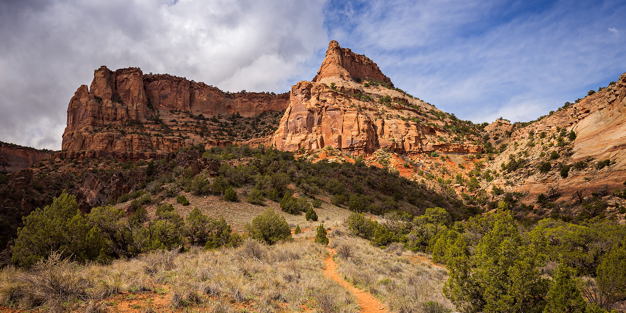
A hike into Devil’s Canyon is always a good way to spend a few hours on a Sunday afternoon. Since it rained for much of the weekend and I was able to get some work done on my Jeep on Saturday, Diane and I decided to go hiking in the McInnis Canyons National Conservation Area late on Sunday morning since it looked like the rain was done for a while. We hiked to the old cabin in Devil’s Canyon on the D3 Trail and then completed the loop back to the trailhead. As we started the hike, the creek in Devil’s Canyon was flowing from all the recent rain and it was also pretty humid out.

Leave a Comment