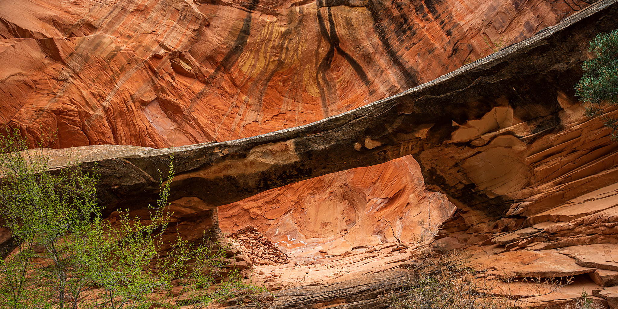
Black Ridge Canyons Wilderness: West Fork of Jones Canyon
Saturday, April 18, 2020
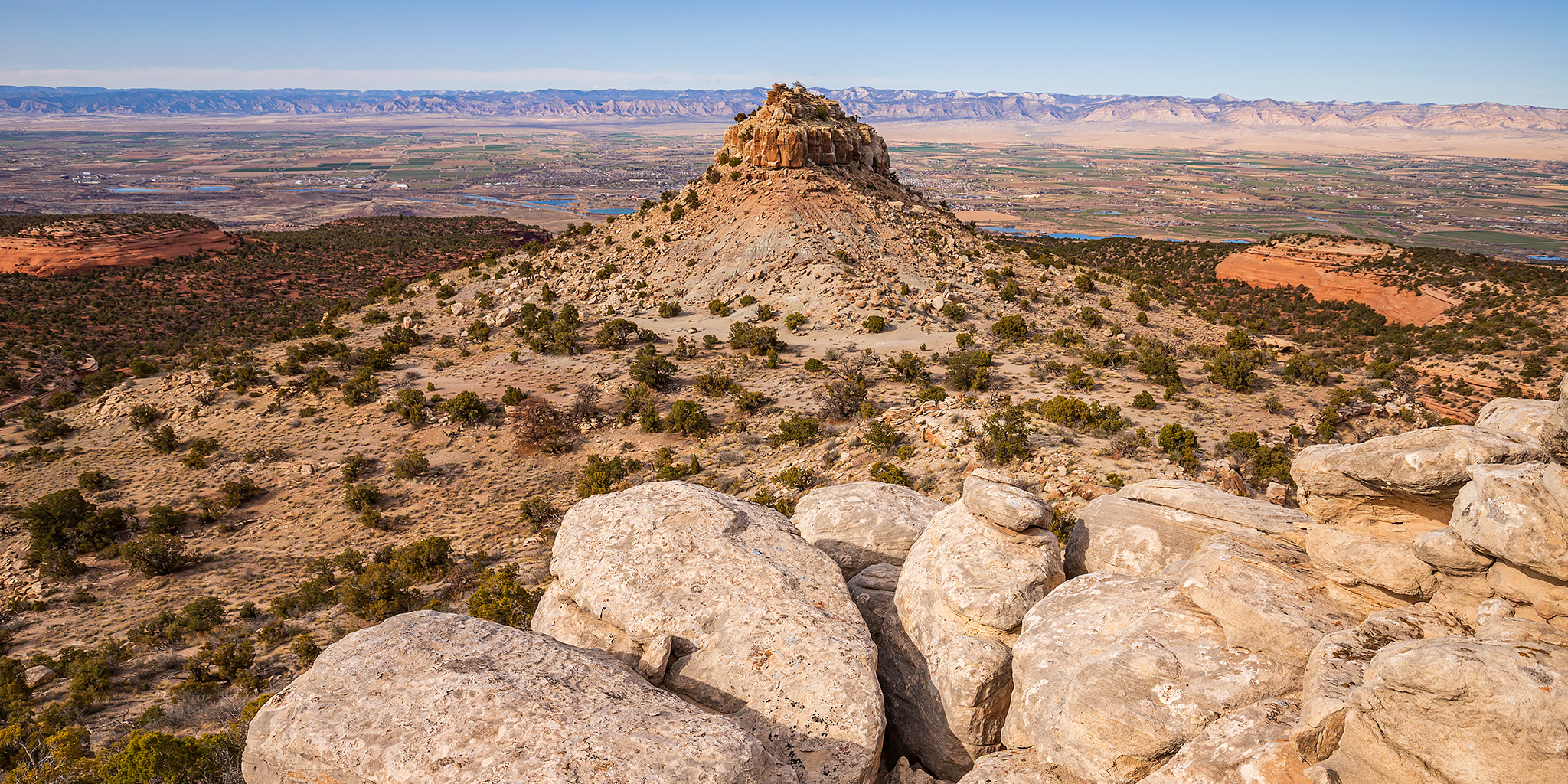
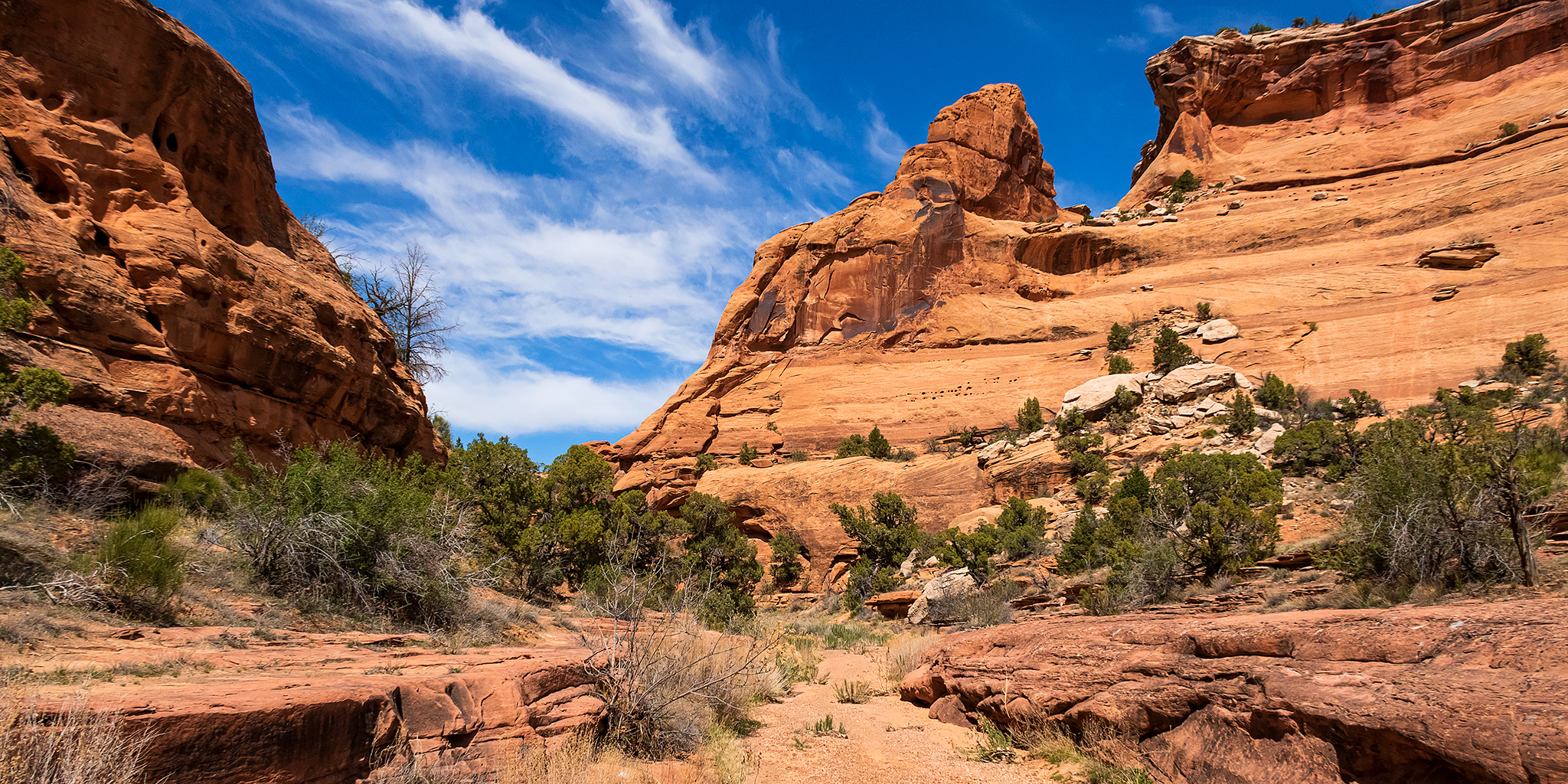
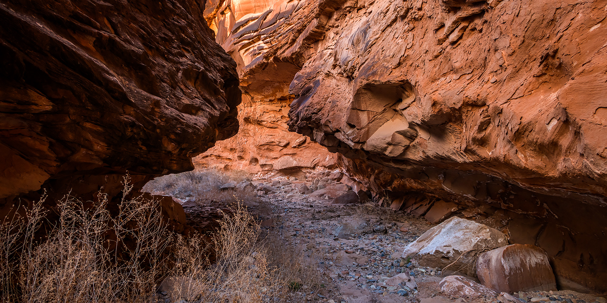
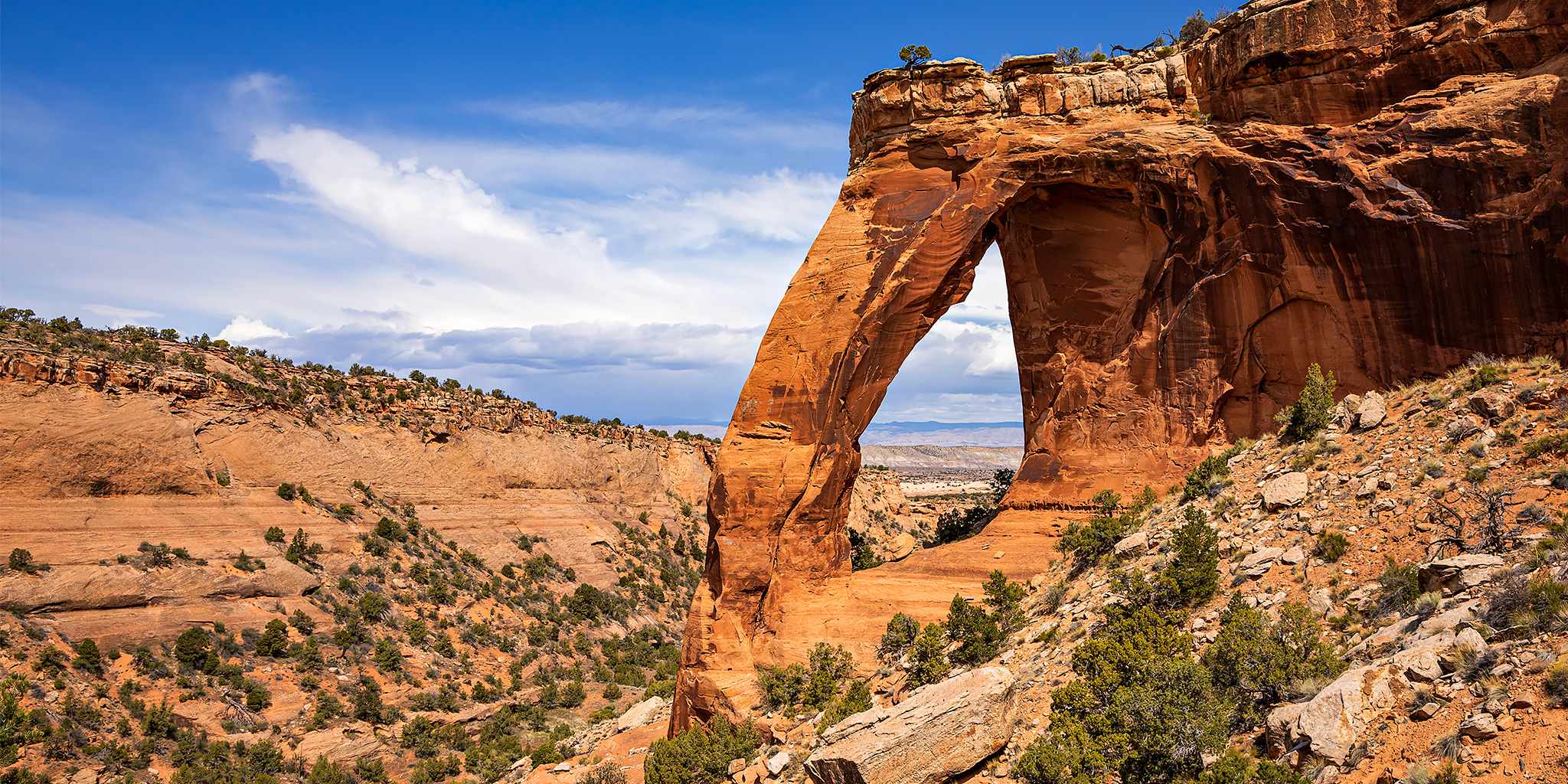
Hiking to Perseverance Arch in the Black Ridge Canyons Wilderness area has been on my to-do list for a long time. I’ve always thought that I would do it as an overnight backpacking trip since it’s a pretty long hike, which is part of the reason why I kept putting it off. Now that I’ve been having to stay closer to home during the quarantine, I’ve been going through my list of local hikes that I never made time for in the past, and I decided that it was finally time for me to visit Perseverance Arch and cross it off my list! I figured that this long and remote hike would offer me plenty of solitude near home on a Saturday when it seems like more people than ever are getting outdoors in the area. I left home well before sunrise on Saturday morning and drove up to the trailhead in Glade Park so I could get an early start.
3 Comments