Press "Enter" to skip to content

Tag: google map

Lower Salt Wash Canyon

Friday – Saturday, December 14-15, 2018

Salt Wash begins its journey near Thompson Springs at the southern end of the Book Cliffs just east of Sego Canyon. From there it meanders generally south across Yellow Cat Flat and joins up with Lost Spring Canyon inside the boundary of Arches National Park. This desert wash eventually passes by the Wolfe Ranch near the popular trailhead for Delicate Arch as it enters Cache Valley and then carves a deep canyon through Dry Mesa just east of The Windows before finally reaching the Colorado River. I have studied this particular canyon on maps over the years and thought about hiking it a number of times before, but I always seem to find somewhere else I’m more interested in going instead. I haven’t found much information about hiking this canyon and wasn’t sure what to expect, but I guess that is what intrigued me about this location in the first place.

1 Comment
Stone Desert: End of Trails in The Needles

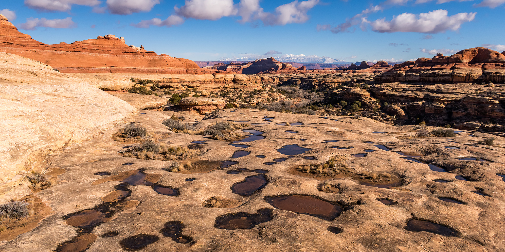
Big Spring Canyon – Elephant Canyon Loop
Friday – Sunday, November 30 – December 2, 2018

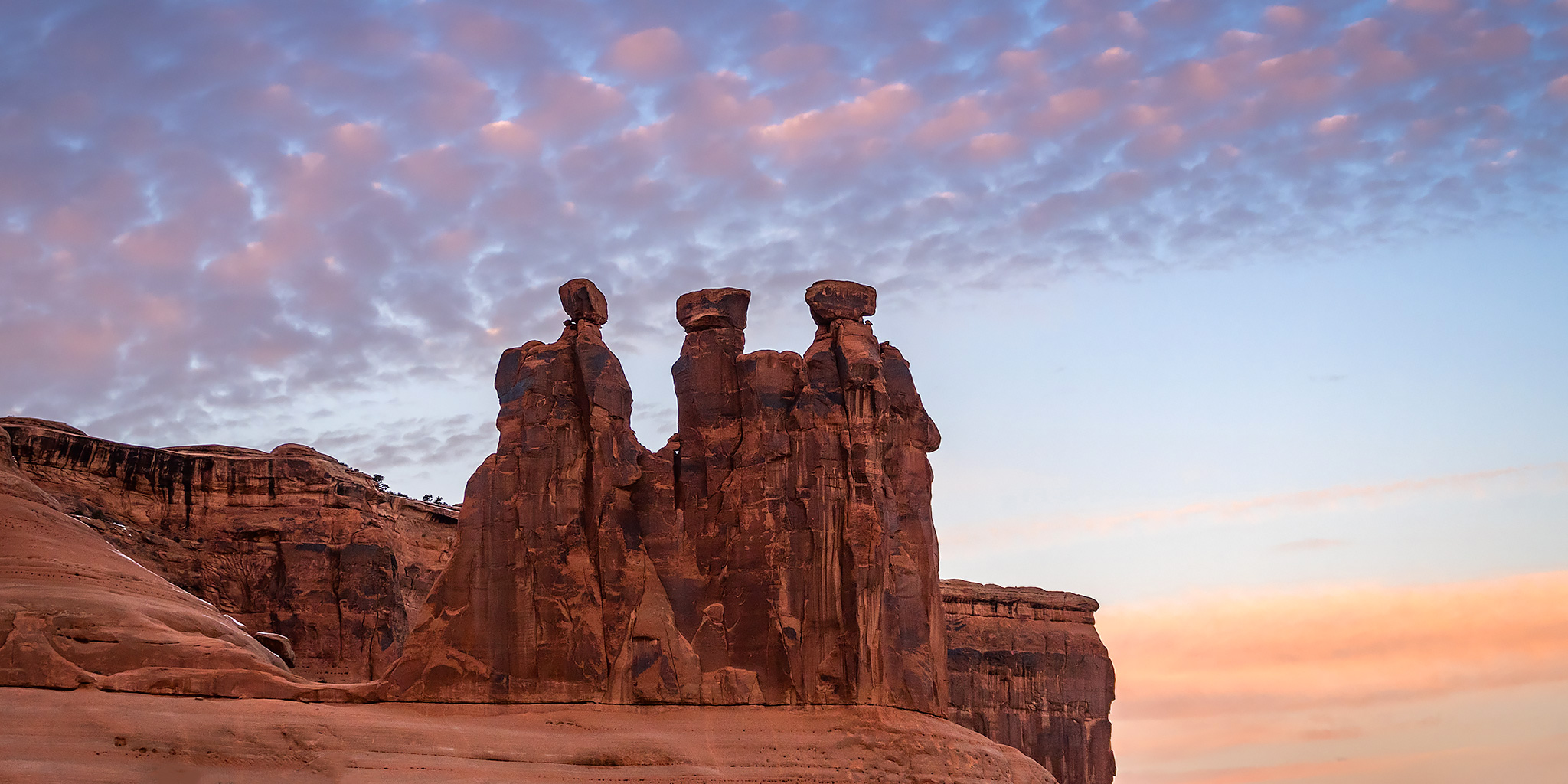
After looking over the official map for the Needles District of Canyonlands National Park earlier this year, I noticed that I had hiked just about every single trail on it, so I figured it would be a good goal to try and finish hiking them all this year. After hiking a few of those remaining trails earlier in the year, I only had a few segments of trails in the Big Spring Canyon area left, so Diane and I headed down to The Needles this weekend so I could finish them up in one big loop on Saturday.

8 Comments

Hoodoo Trail

Sunday, November 4, 2018

For a change, Diane and I actually stayed home this weekend! It seems like it’s been a long time since I’ve done that! We went for a bike ride along the Colorado River on a new section of the Riverfront Trail on Saturday and then went on a hike on the Hoodoo Trail in the Little Book Cliffs on Sunday morning. Since rain was predicted for the early afternoon we got an early start so we would hopefully be finished with the hike by the time it arrived. I had hoped the nice clouds in the sky would stick around as we left home shortly after sunrise, but the sky quickly became completely overcast after we started hiking and stayed that way for the rest of the day. Since it was looking pretty gloomy out I didn’t end of taking very many photos, but I’ll share the ones I did take below. We did end up seeing two wild horses in the canyon, but they were too far away to get a photo of.

Leave a Comment

Mount Belford & Mount Oxford Loop

Colorado Adventure 2018 | Tuesday, August 7, 2018

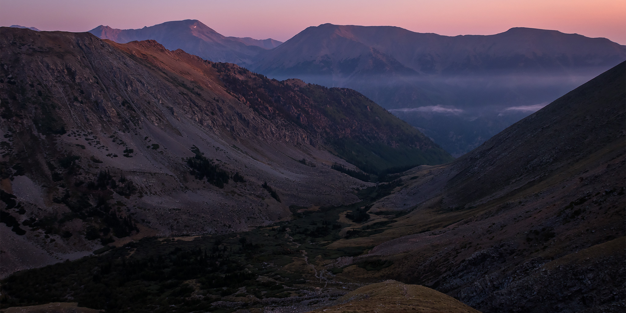
After going to bed early on Monday evening I actually slept very well overnight and was wide awake when my alarm went off at 3:30am so I could get an alpine start this morning. I had a quick breakfast and then drove a short distance to the Missouri Gulch Trailhead and was on the trail by 4:00am by the light of my headlamp. The stars above were bright and there was a sliver of the moon just barely visible through the canopy of trees above as I climbed the trail up Missouri Gulch. It was very humid out when I first started hiking but it got progressively colder the higher I climbed. I actually ended up putting my gloves on for a while when I got above treeline before the sun came up. To be honest, when I started this hike I wasn’t very sure if I was in good enough shape to make it to both Mount Belford and Mount Oxford since it would be a long hike with a lot of elevation gain, but I at least hoped I’d make it up to Mount Belford and then would decide what to do when I got up there based on the weather and how I was feeling.

2 Comments

Oh-Be-Joyful Creek to Blue Lake

Saturday & Sunday, July 14-15, 2018

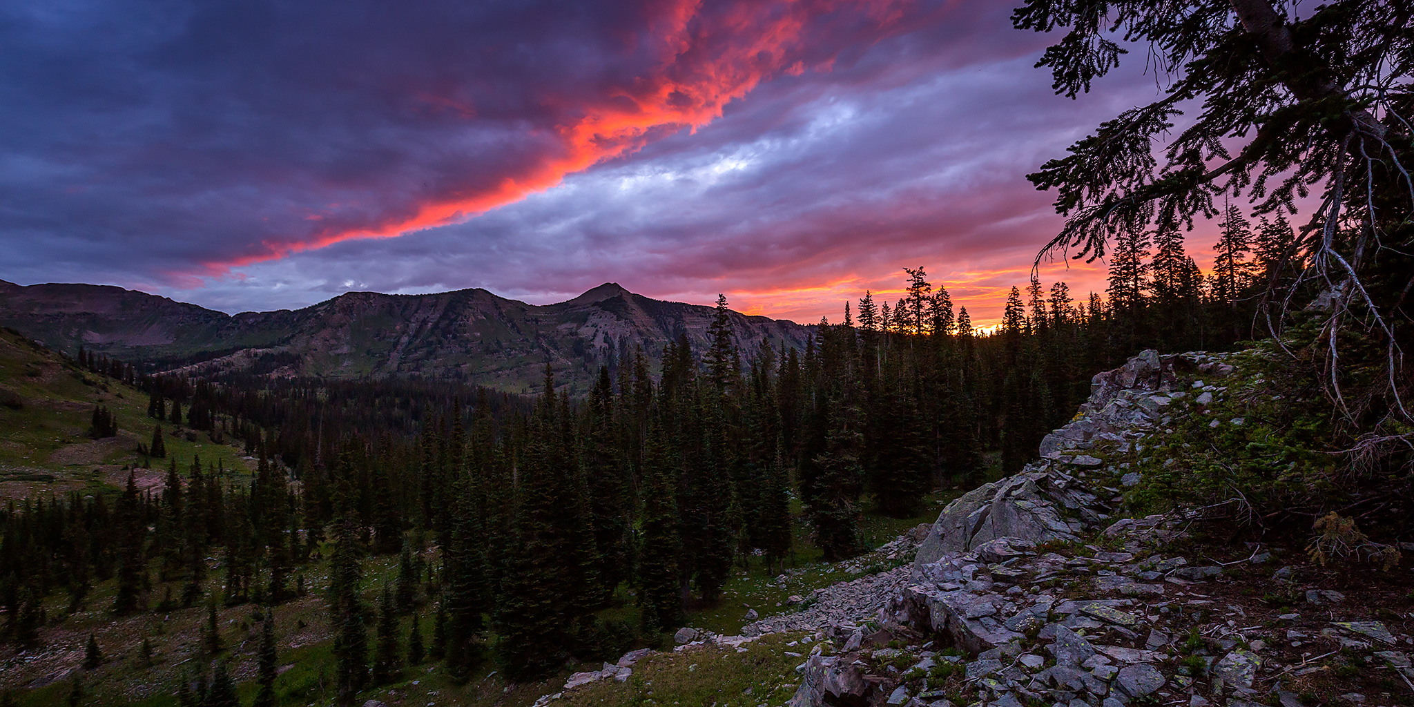
So far, this seems to be the summer of hiking to places that have been on my to-do list for a very long time (Highland Mary Lakes & The Devils Causeway), so I figured it was finally time to check out Oh-Be-Joyful Creek in the Raggeds Wilderness near Crested Butte. While part of this hike is commonly done as a day trip, we decided to go for a quick and easy overnight backpacking trip up the valley so we could camp near Blue Lake, which is located in the Ruby Range on a ledge nestled below Scarp Ridge and Afley Peak. I was also hoping to climb a nearby peak in the evening or morning, depending on the weather, and maybe catch a nice sunset, too. I had viewed Blue Lake from above a few years ago when I hiked to the high point of Scarp Ridge and have wanted to get a closer look ever since.

3 Comments