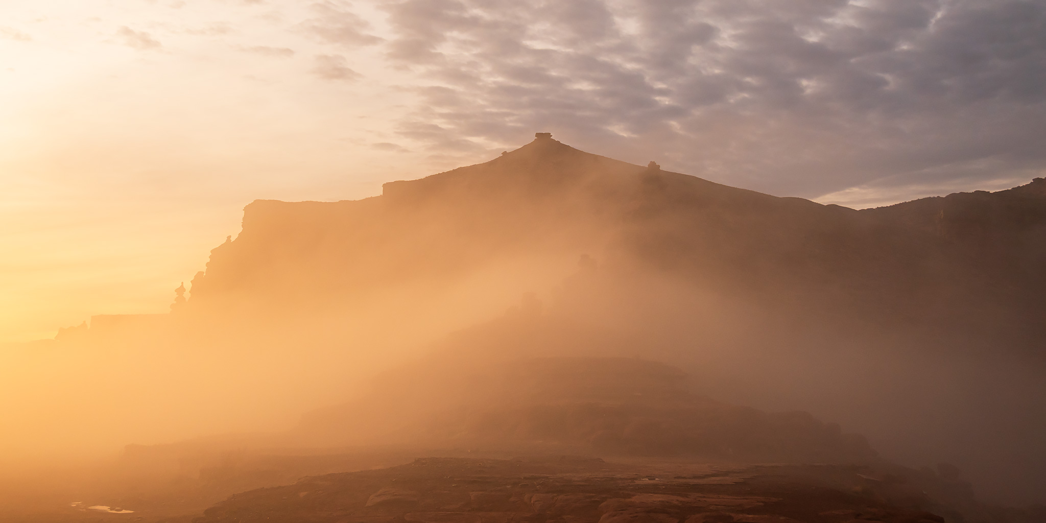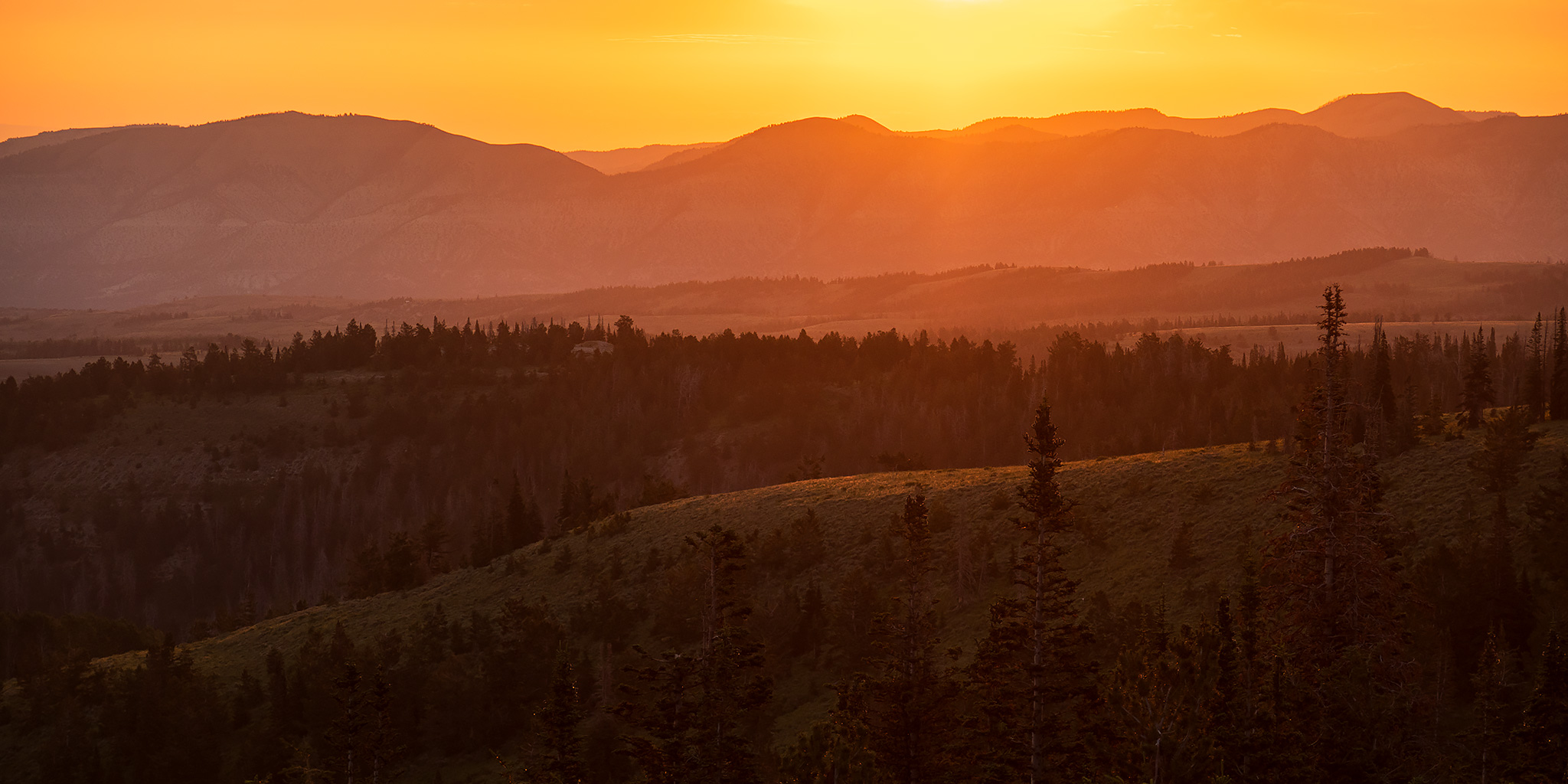
Grand Canyon National Park | Saturday – Wednesday, January 31 – February 4, 2026
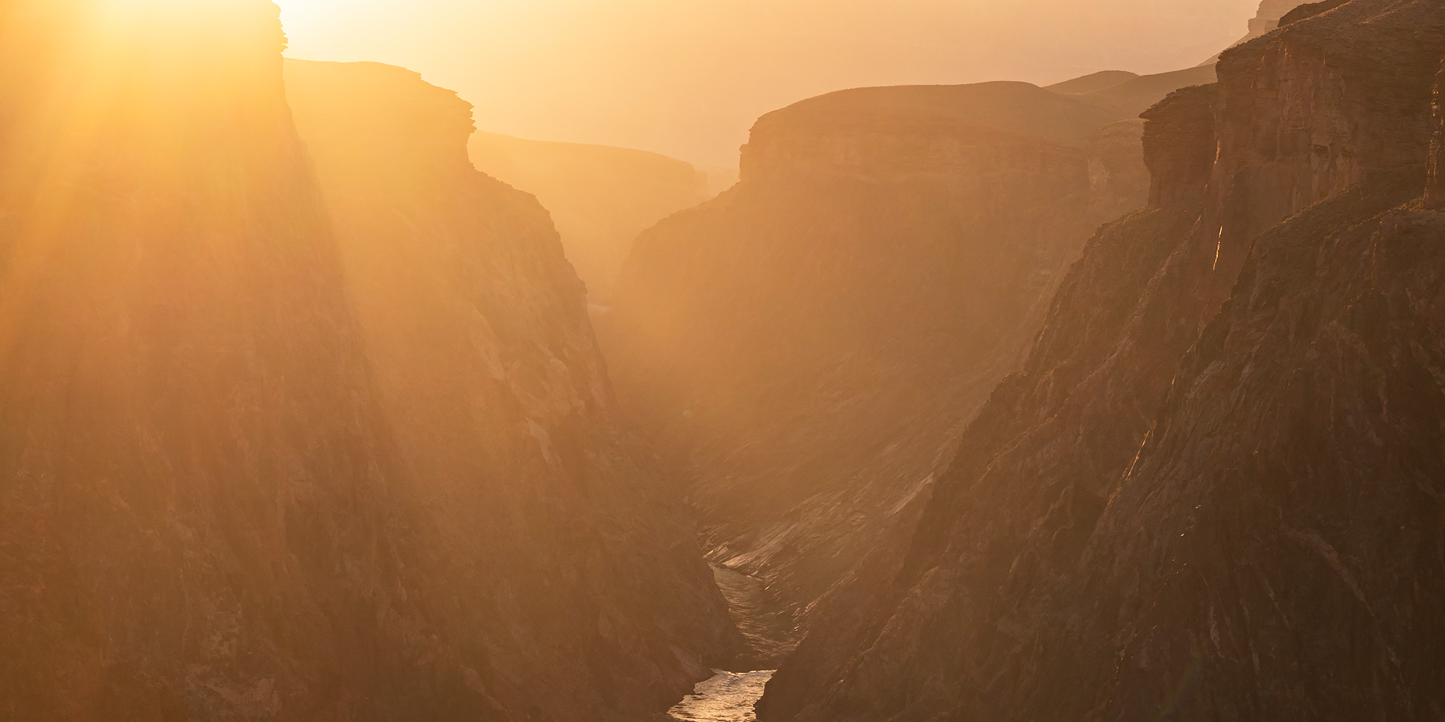
Just about a year ago I was able to secure reservations for a three night stay in a cabin at Phantom Ranch at the bottom of the Grand Canyon, which Diane and I were looking forward to. We had both thoroughly enjoyed our very first visit to Phantom Ranch just over two years ago, so when the opportunity came up to return- we jumped at it! After making the reservations our initial plans were to spend a few relaxing days at the bottom of the Grand Canyon together while also taking a day to hike up the North Kaibab Trail to Ribbon Falls while we were down there. Of course, little did we know at that time that the Dragon Bravo Fire would decimate the North Rim and close the North Kaibab Trail or that Diane would later find out that she had a meningioma that would require surgery in October. Even after surgery we still had hopes that Diane would be able to go on this trip, but after some setbacks that delayed her Radiation Therapy to mid-January, she would not be finishing up the therapy until later in February and unfortunately would not be able to join me on this trip.
4 Comments