Press "Enter" to skip to content

Tag: earth shadow

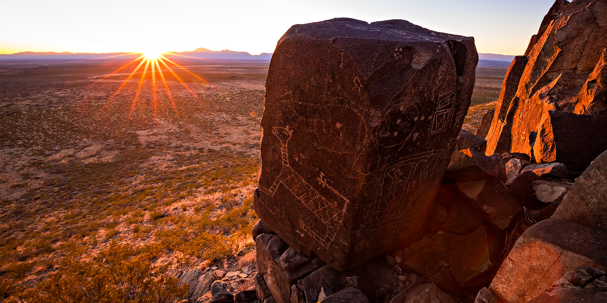
Messages in Stone Below the Sierra Blanca

Return to the Three Rivers Petroglyph Site
My 40th Birthday Foray into Arizona and New Mexico
Saturday, February 15, 2020

After spending an amazing night at White Sands National Park, we stopped in Alamogordo for a quick breakfast and then headed over to the Three Rivers Petroglyph Site so we could spend the rest of the day there. Just like with White Sands, we had visited the Three Rivers petroglyphs Site during our Honeymoon Adventure three years ago, but back then I didn’t realize just how many petroglyphs are found here and we did not have nearly enough time to really explore this area as much as I would have liked, so I’ve wanted to return to spend more time here searching for petroglyphs. This time we planned to spend most of the day hiking along the top ridge until sunset to see what we could find. I was a little concerned that there might not be enough to keep us busy for a full day, but I was again surprised by just how many petroglyphs are found here and we still didn’t have enough time to see them all! I guess a third visit in the future is probably in order the next time we find ourselves down this way!

2 Comments

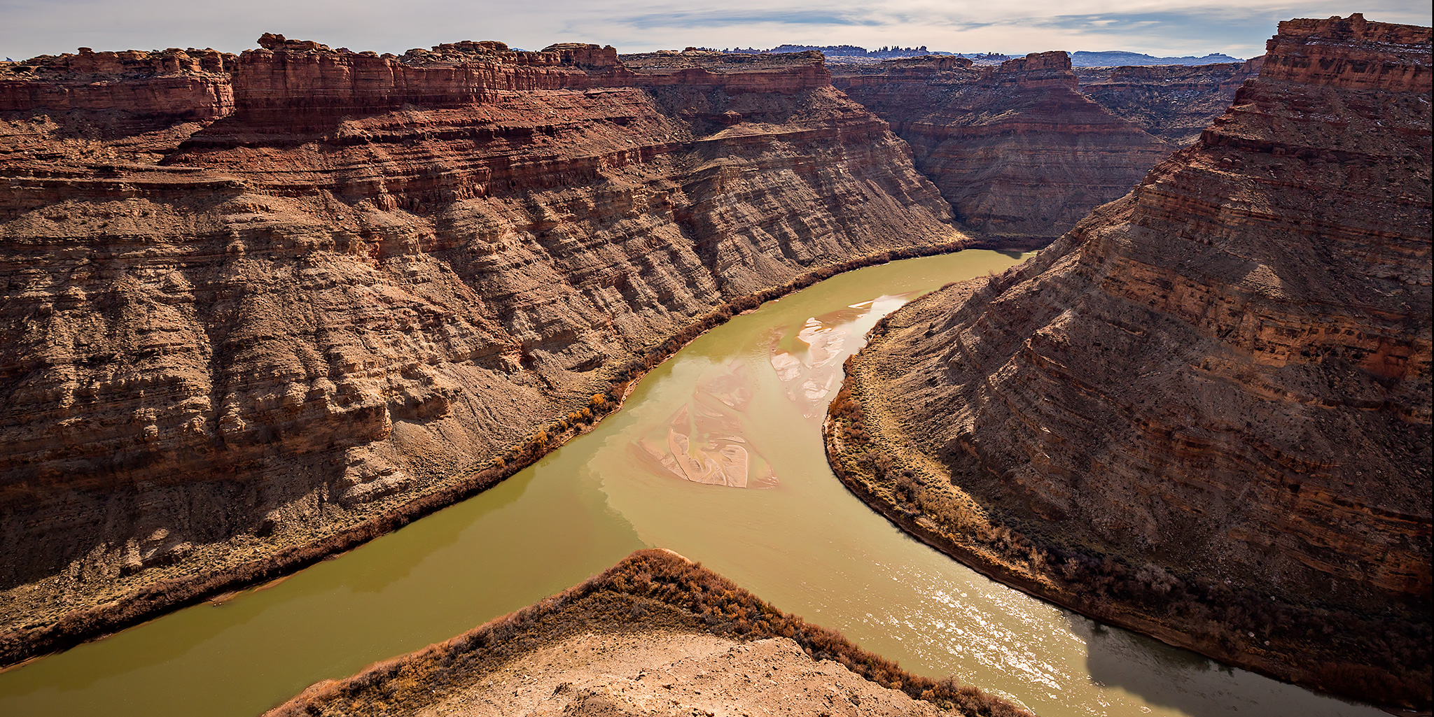
White Crack Trail to The Confluence

Friday – Sunday, January 31 – February 2, 2020

After I finished hiking all of the official trails within the Island in the Sky district of Canyonlands National Park late last year, it was time for me to turn my attention to other parts of the backcountry that I still wanted to explore in this amazing park. While I’ve seen the confluence of the Green and Colorado Rivers from both The Needles and The Maze before, I felt that it was finally time for me to see it from the Island in the Sky!

10 Comments

The Needles Overlook & Slickrock Bike Trail

Saturday & Sunday, January 25-26, 2020

After spending a couple hours at the Ouray Ice Festival in the morning it was time to head west into Utah so I could get some hiking in the desert in this weekend. From Ridgway I crossed the Dallas Divide and followed the San Miguel River to Norwood, then crossed a couple large valleys and the Dolores River on my way to Dove Creek and finally stopped in Monticello for an early dinner. From there I was originally planning on heading into The Needles for the evening and was thinking about hiking the short Slickrock or Pothole Point trails to hopefully catch a nice sunset. However, as I was driving down Highway 211 I quickly decided I didn’t feel like driving all that way for a short hike and turned around at Photograph Gap. Instead, I thought it would be nice to spend the evening at the Needles Overlook in the Canyon Rims Recreation Area since it’s been a long time since I visited that viewpoint at the edge of Hatch Point. This turned out to be an excellent last minute change of plans!

2 Comments

Over the Edge: Island in the Sky

Grand View Point Trails: Murphy Trail Loop, Murphy Point & Gooseberry Trail
Saturday & Sunday, November 2-3, 2019

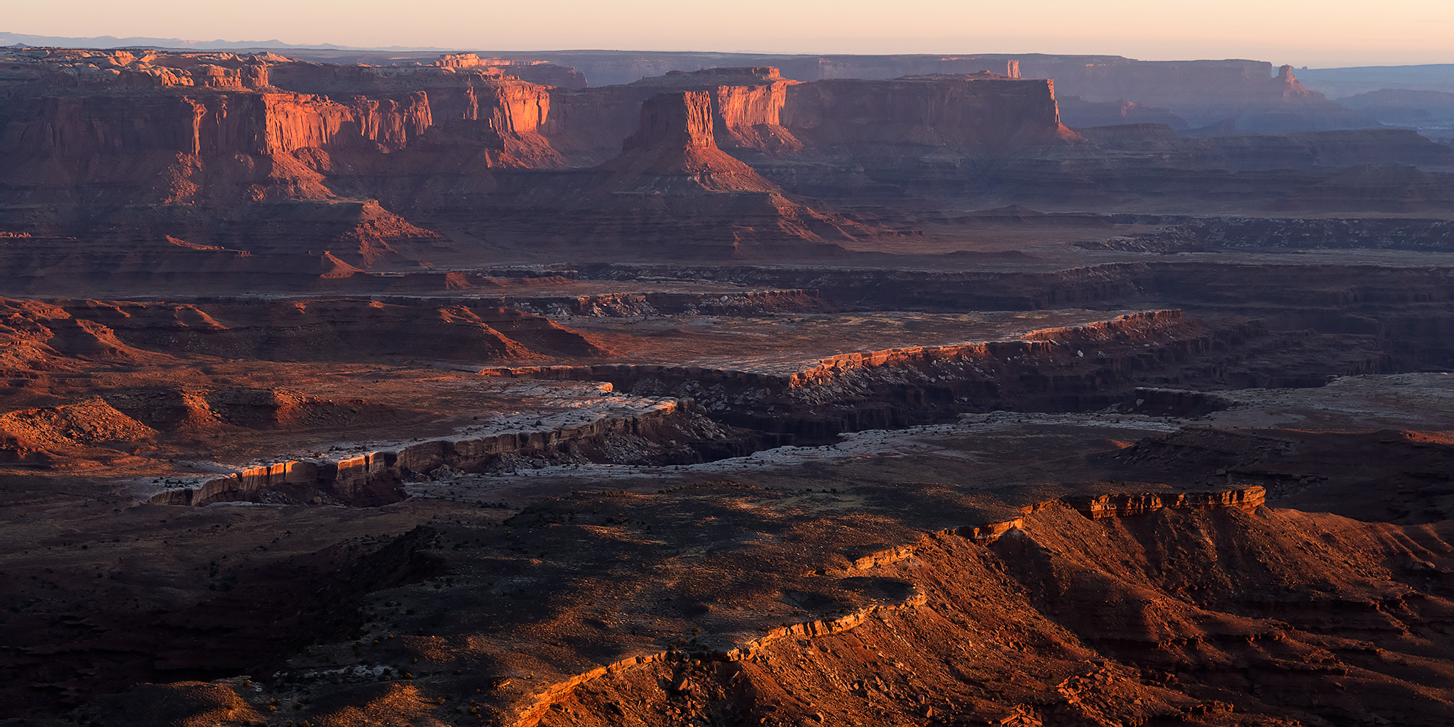
After finishing up hiking all of the official trails in the Needles District of Canyonlands National Park last year I figured that it was time for me to get started working on my remaining trails on the Island in the Sky. While I have already hiked most of the official trails on the top of the mesa, I had not hiked any that descended down to the White Rim, so I wanted to change that this weekend. I figured a good starting point would be to hike a couple of the shorter trails that start from Grand View Point, including the Murphy Trail, Murphy Point Trail and Gooseberry Trail. It’s kind of funny, although the Island in the Sky is the closest district of Canyonlands to me, it’s also the one that I’ve spent the least amount of time in. I think I’m going to make it my goal to finish hiking my remaining trails in this district of Canyonlands within the next year. Let’s see how many I can squeeze in over the winter!

Leave a Comment

The Boulder Mail Trail

Canyons of the Escalante | Southern Utah Wanderings in a Sandstone Wilderness
Tuesday, October 1, 2019

The Old Boulder Mail Trail is a 15 mile trail that was originally established in 1902 as a mail route that linked the isolated towns of Escalante and Boulder Town and was traversed by pack mules twice-weekly to carry mail, medicine and occasional travelers. In 1911 a telephone line was strung between trees, rocks and poles along the route by the Forest Service to connect the ranger stations in both towns. The ranger in Boulder even let the townspeople tie in with their own lines. Some of the glass insulators can still be seen in the treetops along the trail today. The line was used until 1955 when a microwave system replaced it. When Utah Highway 12 was completed in 1940 the Boulder Mail Trail fell into disuse.

Leave a Comment