Canyons of the San Rafael Reef IV | Saturday & Sunday, January 24-25, 2026
While I was initially just planning on just returning to the landscape surrounding Moab again this weekend like I typically do at this time of the year, as I was watching the winter storm unfold on Friday afternoon I saw that Moab was getting some rain and snow while the weather seemed to be completely missing the area around the San Rafael Reef, so I changed gears and decided to head over that way early on Saturday morning instead. Since I was looking to get in some decent elevation gain this weekend, I thought I might try hiking up to the Ernie Benchmark which is one of the highest points along the top of the San Rafael Reef. The drive to Green River early on Saturday morning was a bit slow with plenty of fog, snow and ice- but shortly after passing through Crescent Junction the snow and fog disappeared and the roads were dry for the remainder of the way. After topping off my gas tank in Green River I continued on to the base of the San Rafael Reef near the mouth of Ernie Canyon and prepared to start the hike. I had planned to start hiking from near the old drilling derrick, but apparently that road has now been closed since I was here last January and I would now need to hike a little further than I was expecting.
It was still mostly cloudy out as I began the hike, but the sun was just starting to come out a little as I crossed the rugged and colorful landscape to reach the North Fork of Iron Wash.

The route wasn’t as simple as hiking up the slanted Reef to the top- there were a few canyons I would need to cross along the way.

Walking up the tilted landscape.

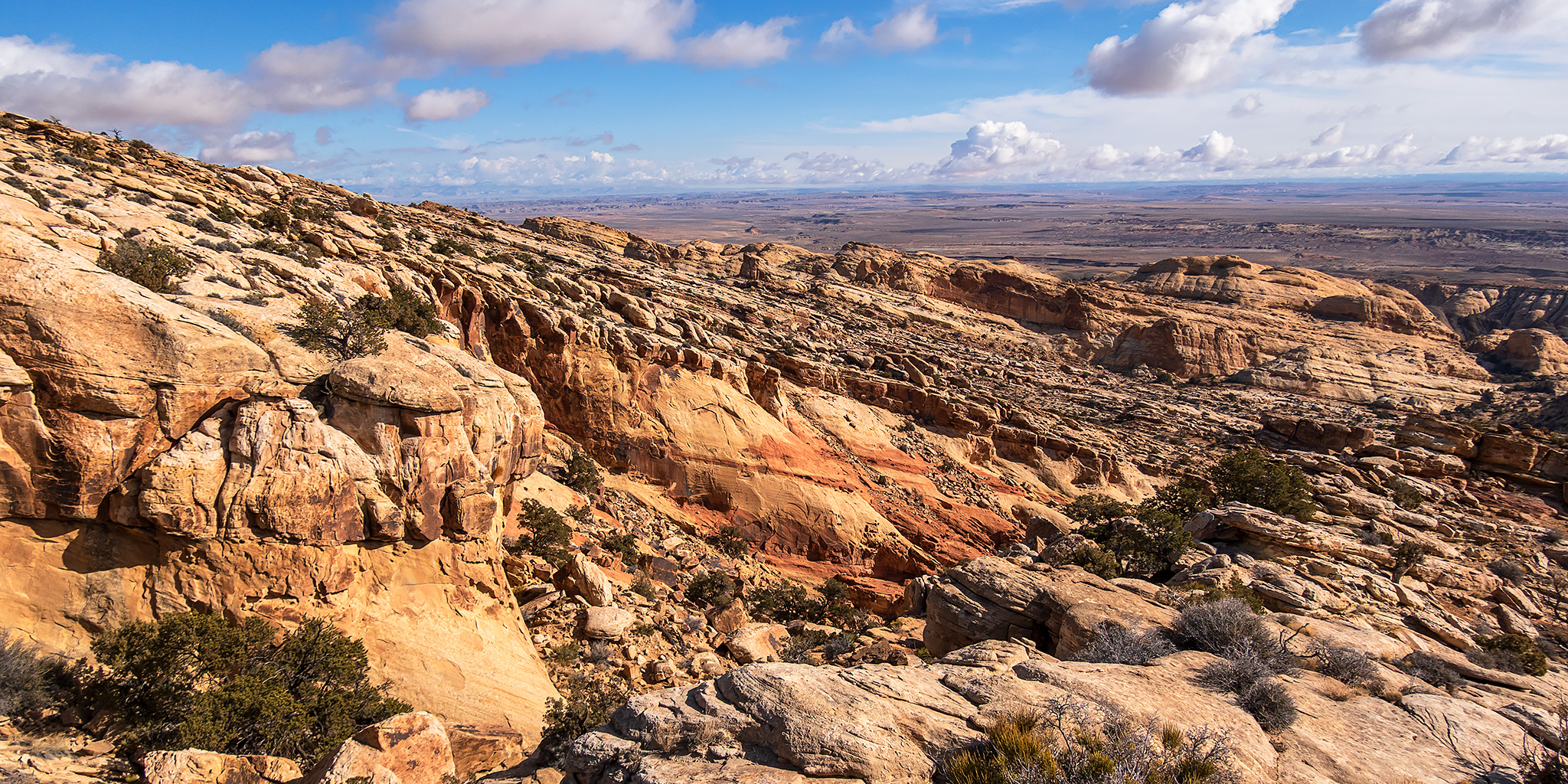
The clouds were beginning to clear out more as I walked up the steep sandstone.

Crossing another small canyon that was not visible in the previous photo.


I stopped to check out this small arch I passed along the way.

The higher I got the better the views got.

I followed closely to this rim for a little bit to take in the views.

San Rafael Reef Country

As I neared the top of the Reef I could see my destination, which is the highpoint in the shade at the very left of this photo.

I followed the sandstone around this bowl towards Ernie Point.


Unfortunately, I was not able to make the final move to reach the summit of Ernie Point. The rocks I was holding on to were moving and there was a lot of exposure on both sides, which I didn’t like at all, so I had to settle with just making it a couple of feet below the actual summit. It’s not a big deal though- I was here for the views and the views were great!

There was even a nice overlook of lower Eardley Canyon, which was my planned hike for Sunday morning before heading home.

Looking to the south I could see Temple Mountain on the horizon.

Before completely giving up on the summit I dropped down into the bowl and tried to find a way up the opposite side, but there was not route for me on this side either.

After enjoying the views for a while it was time to start heading back down the Reef.


Following the North Fork of Iron Wash for a short distance.

I swung by the old drilling derrick on the way back to the trailhead.

I still had some daylight left after the hike, so before leaving the area I explored a pair of nearby unnamed canyons that cut into the Reef.

I only found this old General Land Office marker from 1912.

After driving to Hanksville to get dinner at Stan’s and fuel for the 4Runner, I found a campsite just outside of town and settled in for a cold night. On Sunday morning I was up early and returned to the San Rafael Reef for a short hike before heading back home.
I made my way over to the mouth of Eardley Canyon at sunrise so I could go on a short hike up the lower end of the canyon.

Light On The Reef

San Rafael Reef at Sunrise

Hiking up Eardley Canyon

Straight Wash

I followed the gooseneck loop of the canyon instead of taking the shortcut on the way up.

Eardley Canyon Loop

Leaving The Loop

I scrambled up the canyon as it cut into the edge of the San Rafael Swell until I was stopped by a pool and pourover.

Boulder Scramble

Eardley Canyon Pool

After leaving the Eardley Canyon Pools, I hiked back down the canyon, this time taking the shortcut, and returned to the trailhead. Then I started my drive home and made a stop at Ray’s Tavern for lunch in Green River. It had been another great weekend exploring the canyons of the San Rafael Reef!
Rock Art of the San Rafael Reef
It was nice to revisit this amazing petroglyph panel that features a very large and detailed snake.


Lone Petroglyph

Barrier Canyon Style Figure

I also revisited this faded Barrier Canyon Style panel in better light, although it’s still very difficult to see and photograph.

Here’s a version run through DStretch to help bring out the details.

Red Pictographs Cove


Love it! Thanks.
Thanks Judy!
We’ve enjoyed a couple of ascents to viewpoints along the top of the Swell. Thanks for sharing another one! Added to list..
There are amazing views from so many different spots in the Swell. Thank you for more of your amazing photography!
Stan’s and Ray’s are such fun eatting spots too!