Fall Colors along the North Rim of the Grand Canyon
Saturday – Monday, September 28-30, 2024
The Kaibab is the loftiest of the four plateaus through which the Grand Cañon extends. It is from 1,500 to 2,000 feet higher than the Kanab Plateau on the west, and from 2,500 to 4,000 feet higher than the Marble Cañon platform on the east. Its superior altitude is due wholly to displacement and not to erosion, for the strata upon its summit are the same as those upon the surfaces of the others. The upheaval has produced a sharp fault upon the western flank and a great monoclinal flexure upon its eastern flank. Throughout its entire platform the upper Carboniferous forms the surface. The Kaibab begins at the base of the Vermilion Cliffs near the little village of Paria, its northern extremity terminating in a slender cusp. Steadily widening, and increasing very slowly in altitude, it reaches southward nearly a hundred miles to the Colorado River, where it attains a breadth of about 35 miles. Its highest point is about 9,280 feet above the sea, but most of its surface is between the altitudes of 7,800 and 9,000 feet.
C.E. Dutton, 1882
After spending the preceding week on an amazing rafting trip through the Canyon of Lodore in Dinosaur National Monument, our group got off the river in the early afternoon on Friday and I made it home a few hours after that. Then I spent the rest of the evening unloading all my river gear and packing up my car-camping gear into the Jeep so I could leave on Saturday morning to spend a full week along the Arizona Strip and North Rim of the Grand Canyon with my friend Jared. Although we typically spend this first week in October wandering around Southern Utah, every so often we like to change it up and venture a little further south into Arizona. Thankfully we decided to begin our trip with a couple days on the Kaibab Plateau because it happened to be very warm all over the southwest this week and at least it was a little bit cooler up at these higher elevations. Plus, we got really lucky with the timing of our trip and managed to see the peak of the fall colors on display while we were up on the Kaibab Plateau, too!
Leaving the point, we make a detour to the eastward and descend into a large ravine and mount the platform beyond it. A ride of four or five miles brings us to the promontory, which we named Cape Final. Here we command a view of the head of the Grand Cañon. The scenery is in a large measure changed, not only in the arrangement of its parts but in its character. The portion of the panorama which includes the chasm is, in the main, similar to what we have seen from other commanding points, and so far is it from being diminished in grandeur that it may in some respects be regarded as the finest of all.
C.E. Dutton, 1882
After leaving home later on Saturday morning, I drove across southern Utah and met up with Jared at Jacob Lake in the late afternoon. As we continued south from there, we made a quick detour to visit the highest point of the Kaibab Plateau near De Motte Park and then made our way into Grand Canyon National Park so we could hike out to Cape Final for sunset.
After reaching the trailhead and hiking briskly to the point, we just barely made it out to Cape Final in time to watch the sunset.
Palisades of the Desert
Final, 1903
Unkar Creek
Cape Final at Dusk
This was the last shot I took just before we started hiking back.
We made it back to our Jeeps at the trailhead well after dark and then left the park to find a campsite somewhere in the Kaibab National Forest. It was getting late when we finally found a site, so we went to bed pretty quickly.
We got up before sunrise on Sunday morning and were amazed by the fall colors surrounding us as we left camp and headed to a few overlooks from the East Rim of the Kaibab Plateau.
Off to the north was the Paria Plateau on the horizon.
The East Rim of the Kaibab Plateau
I’m going to share a few historic drawings and quotes throughout this Trip Report that are taken from the Tertiary History of the Grand Cañon District, which was written by Clarence E. Dutton in 1882 and became one of the definitive books on the Grand Canyon. You might be able to see some similarities in my photos.
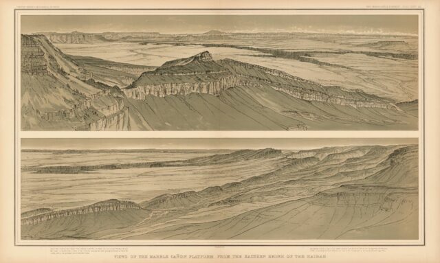
It was a lovely morning along the East Rim.
Overlooking the Saddle Mountain Wilderness.
North Canyon
After enjoying the views from the East Rim we headed over to the nearby Arizona Trail Trailhead and followed the Kaibab Plateau Trail back into Grand Canyon National Park. The fall colors were spectacular all around us!
It wasn’t long until we were standing beneath the North Rim Fire Lookout, which was originally constructed in 1928 and then moved to its current location near the north entrance in 1933 by the CCC.
North Rim Lookout, 1936
I didn’t climb all the way to the top, but Jared did.
Fall colors surround the nearby outhouse.
Fall Colors at the North Rim Fire Lookout
We followed the Arizona Trail back to the trailhead.
Next up, we headed back into Grand Canyon National Park so we could start making our way over to Point Sublime since we had a permit to camp there this night. But since we had plenty of time to get there, first we headed over near the Grand Canyon Lodge to hike a short loop combining parts of the Bridle Path and the Transept Trail.
Of course I had to get a photo of the Bright Angel Point Trail Closure since it seems I enjoy documenting trail closures in the Grand Canyon.
The Transept
After our short loop around the Grand Canyon Lodge we returned to the Point Sublime Road.
It was a bit dusty in places.
The fall colors were nice around here, too.
Driving across The Basin.
We briefly stopped at an overlook at the head of Crystal Creek.
Then we stopped to visit the Kanabownits Fire Lookout which was constructed by the CCC in 1940 and was one of their last major projects completed in the park.
Kanabownits Fire Lookout
Kanabownits Color
We still had plenty of time to get to Point Sublime before sunset, so we continued out to Swamp Point where we had a good view of the Muav Saddle, Powell Plateau, Saddle Canyon and Muav Canyon.
Castle Canyon
Saddle Canyon & Steamboat Mountain
Muav Canyon
Finally, on our way out to Point Sublime we stopped at another overlook of Crystal Creek
The scenery of the amphitheaters far surpasses in grandeur and nobility anything else of the kind in any other region, but it is mere by-play in comparison with the panorama displayed in the heart of the cañon. The supreme views are to be obtained at the extremities of the long promontories, which jut out between these recesses far into the gulf. Towards such a point we now direct our steps. The one we have chosen is on the whole the most commanding in the Kaibab front, though there are several others which might be regarded as very nearly equal to it, or as even more imposing in some respects. We named it Point Sublime.
C.E. Dutton, 1882
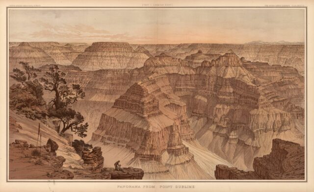
When we reached Point Sublime there was no one else around and we had the place to ourselves for a while. I ate dinner near the point and waited for sunset to arrive, which I hoped was going to be a good one…
Overlooking Tuna Creek from Point Sublime.
There was a USGS Benchmark at Point Sublime, but I couldn’t see any other information stamped onto it?
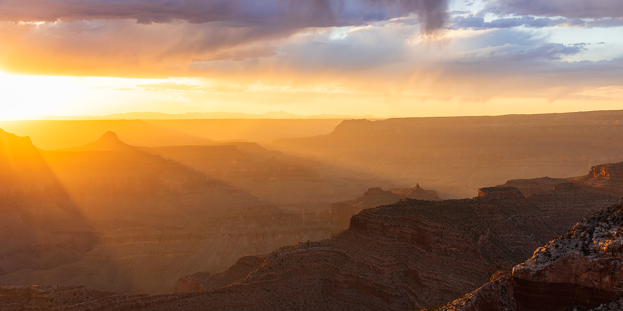
As the sun dropped below the clouds we were treated to an amazing light show this evening and I took plenty of photos!
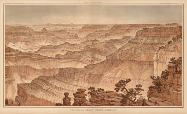
On the distant horizon we could see the outlines of Mount Trumbull and Mount Logan, both of which we would be visiting over the next few days.
We stayed at the point until it was getting dark out, then we returned down the road a short distance to our campsite and went to bed early. We were up early again on Monday morning to watch the sunrise from Point Sublime, too.
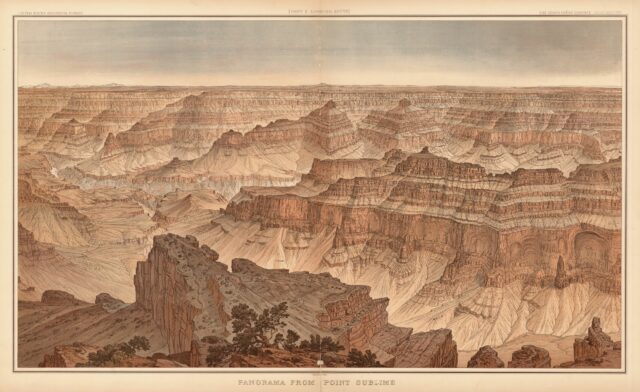
Dawn at Point Sublime
Granite Gorge Morning
Grand Canyon Light
Sagittarius Ridge Morning
When the sunrise was over it was time for us to leave Point Sublime.
Lone Tree
Before leaving the park, we did manage to find our way to an overlook of a nice set of ruins hidden in the Grand Canyon.
We took many different backroads and detours as we drove across the Kaibab National Forest to Fredonia, and at one point we found ourselves in Jumpup Canyon.
We stopped to check out the Jumpup Cabin, which has been used since the 1900s by ranchers and the Forest Service and is listed on the National Register of Historic Places.
Our last stop was to visit this panel of rock art in Nail Canyon that is not too far from the trailhead into Snake Gulch.
Once we made it to Fredonia we decided to keep on going a little further to grab some dinner in Kanab and then we topped off our gas tanks and headed south again into the heart (and heat) of the Arizona Strip for the rest of the week.


Gorgeous as always, thank you!
Thank you Michelle!