Friday – Monday, July 28 – 31, 2023
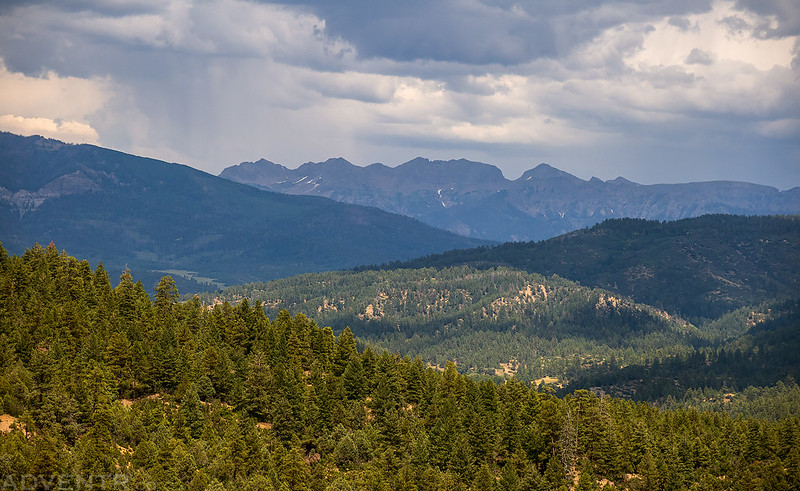
After spending the last two days around the Animas River Valley between Coal Bank Pass and Durango, I decided to spend the next couple of days further south and east in a distant part of the San Juan Mountains that I don’t get around to visiting very often. I’ve definitely been long overdue for another visit to the South San Juan Mountains between Wolf Creek Pass and the New Mexico state line and figured that this would be a good opportunity to get back since it wasn’t too much further away. After the GIS Colorado Summer Meetup concluded late in the morning on Friday I packed up my Jeep and made my way over to Pagosa Springs to continue on with the next leg of the trip.
Eightmile Mesa Fire Lookout & Wolf Creek Pass
I grabbed a late lunch in Pagosa Springs and then made a short detour up onto Eightmile Mesa so I could visit another Colorado Fire Lookout that was nearby.
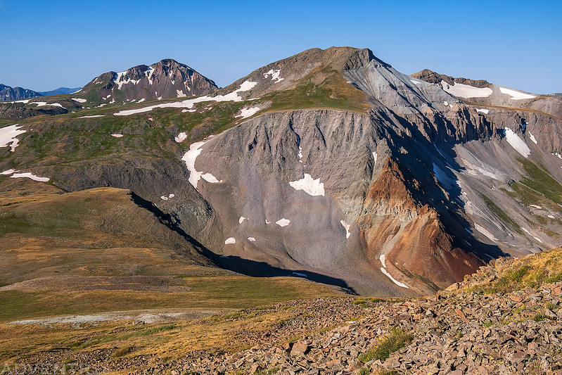
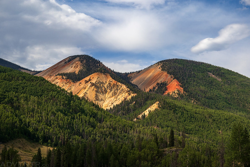
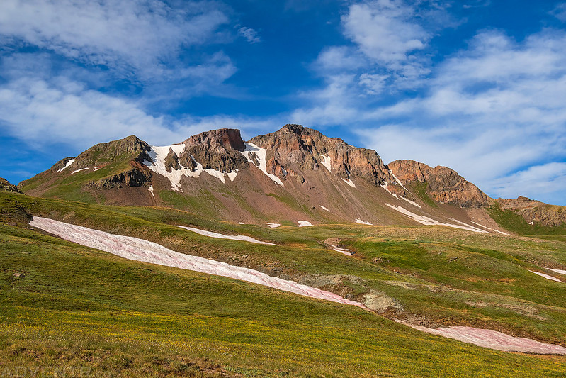
There was a decent view of the South San Juan Mountains from the road up onto Eightmile Mesa.
I was a little surprised to find that the Fire Lookout was actually in use when I arrived. That’s a first! Apparently there had been reports of smoke in the Weminuche Wilderness and they were up there keeping an eye on things.

Eightmile Mesa Fire Lookout

Next up I topped off my gas tank in Pagosa Springs and then drove up the highway to Wolf Creek Pass. Although I have been on both sides of the pass before, I never really had a reason to drive over it before, and I wanted to finally do that on this trip.

On the other side of Wolf Creek Pass I drove up to the Lobo Overlook to take in the views.

I headed back down from the pass the way I had come and made one more quick stop at the Wolf Creek Overlook which offers a great view over the headwaters of the San Juan River.
Elwood Pass to Summitville
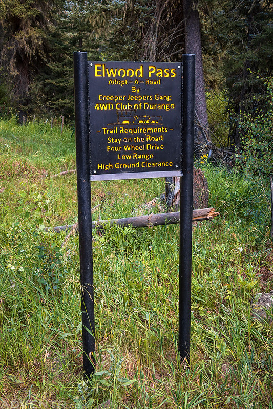
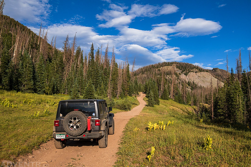
After returning to the valley below, I turned and followed the East Fork of the San Juan River up towards Elwood Pass.

Elwood Pass was actually a little rougher than I was expecting it to be, but there was nothing too difficult along the way.

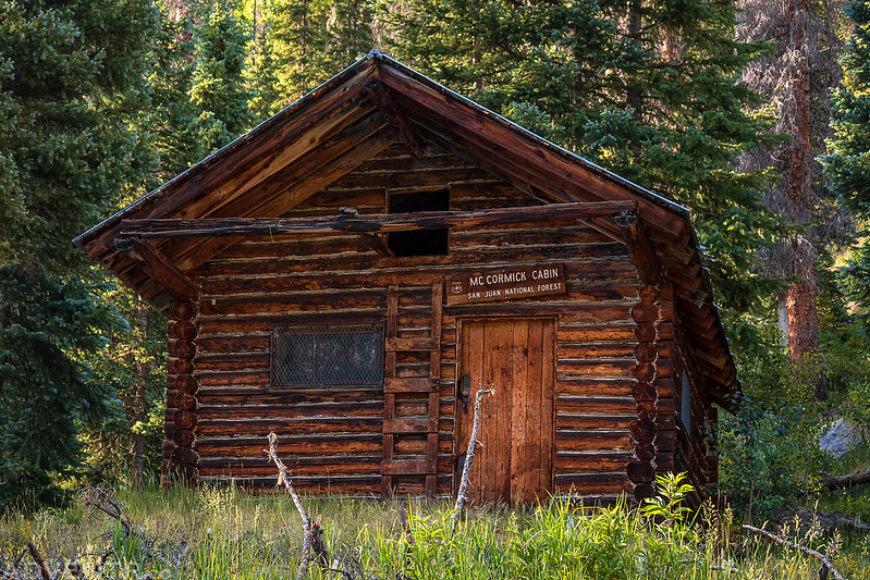
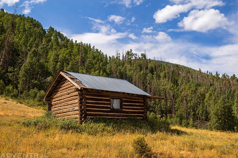
The road passed by the McCormick Cabin.
Elwood Pass Road
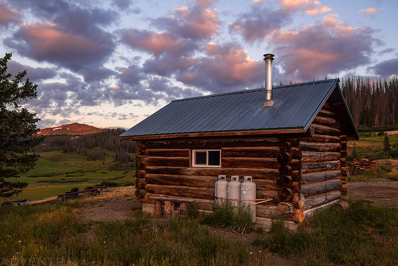
Once I crossed over Elwood Pass I had an impressive view of Lookout Mountain and the Elwood Cabin, which I would be staying at for two nights, but not tonight.

Entrance to the Elwood Cabin.

Lookout Mountain has such an awesome profile!

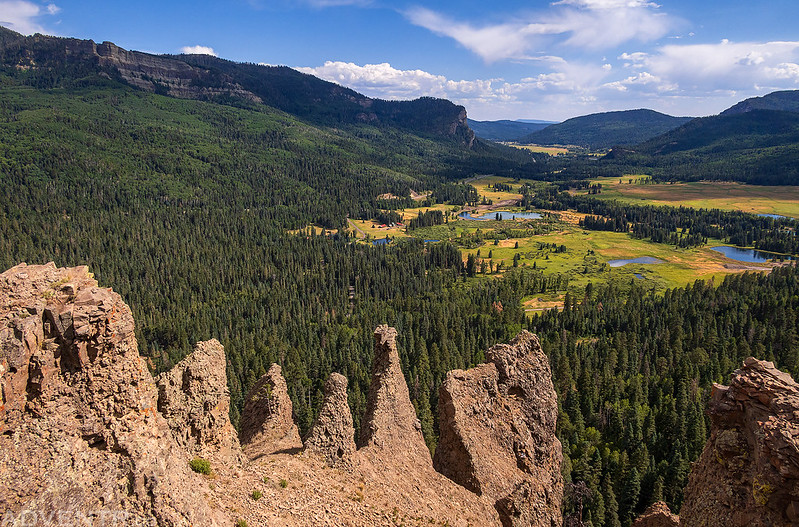
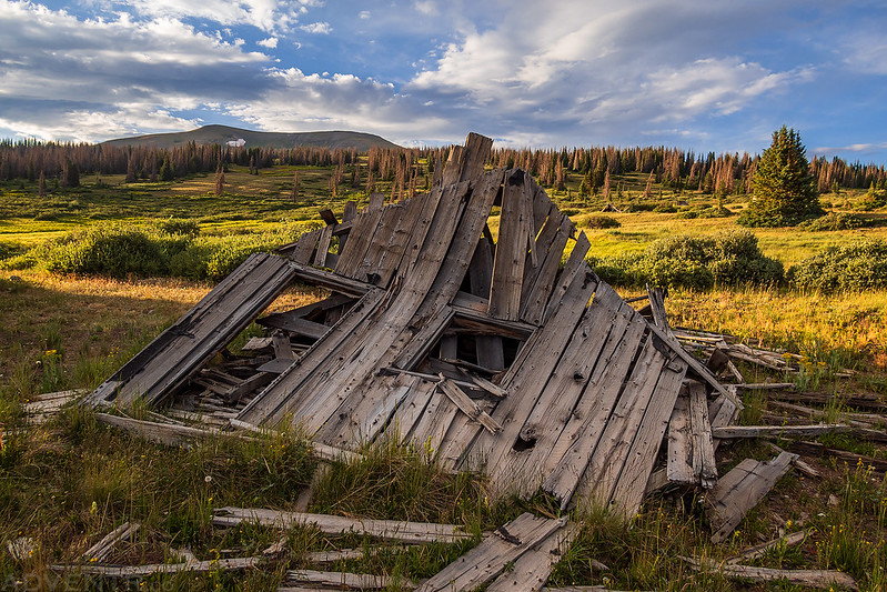
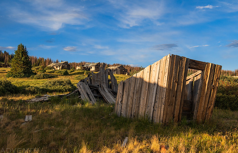
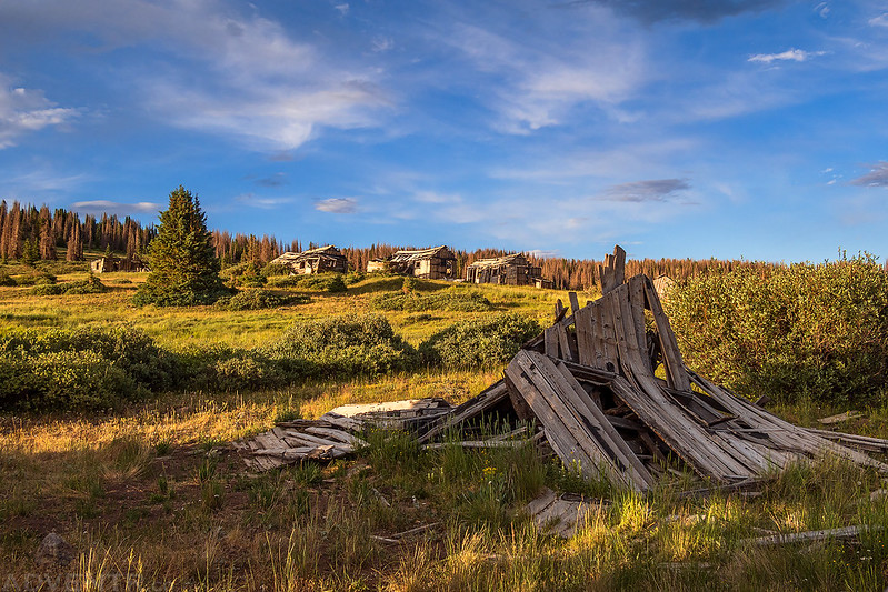
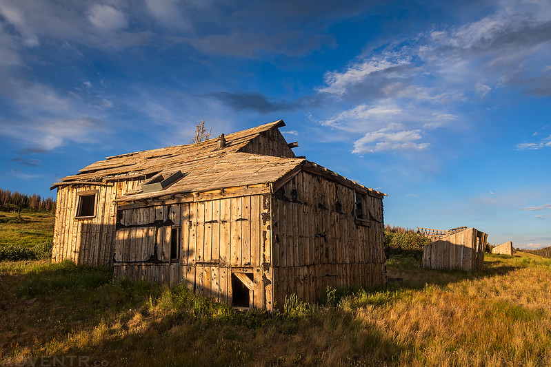
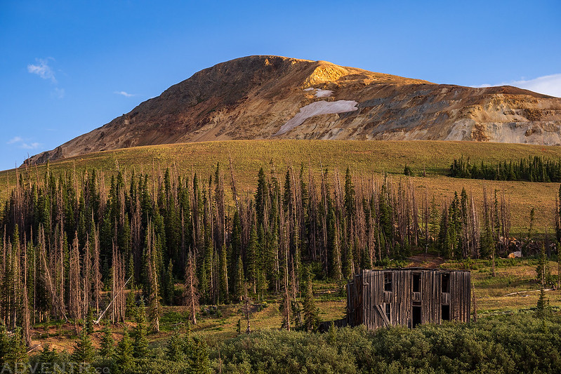
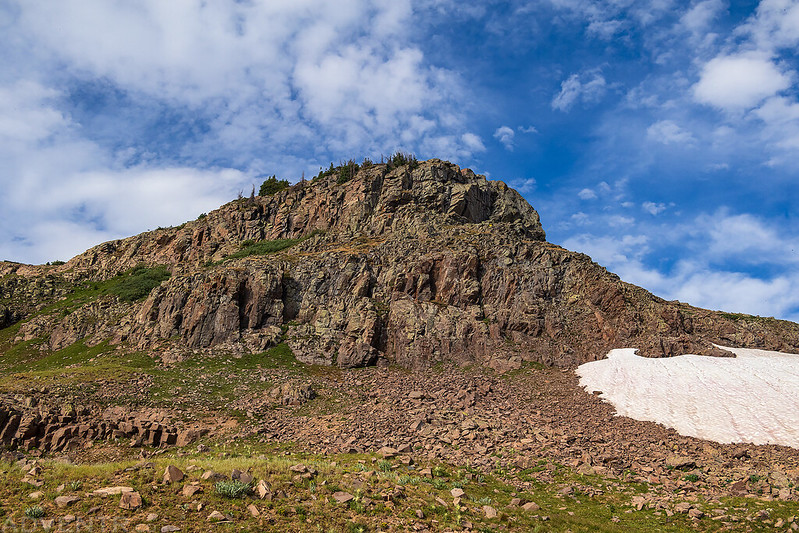
Since I still had plenty of daylight left, I drove over to Summitville so I could check out the old mining structures that were still standing. I hadn’t been back here since 2010 and was hoping to get some better photos.

I wandered around the old structures for a while…


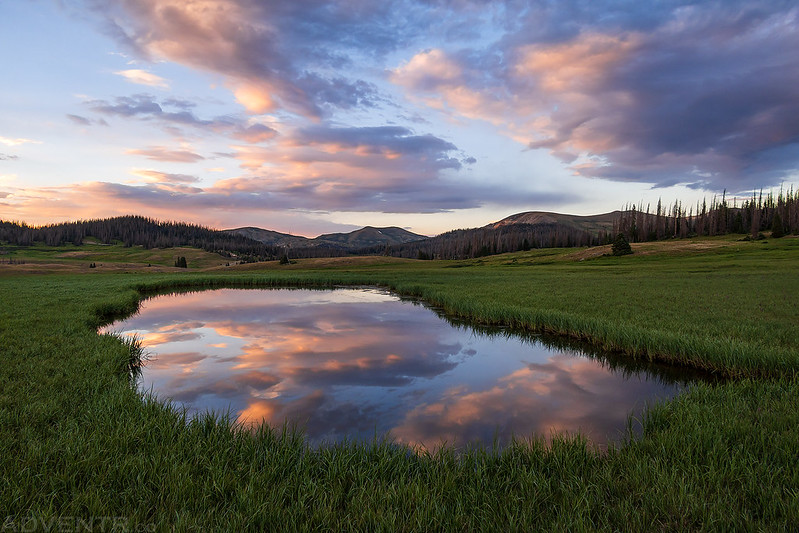
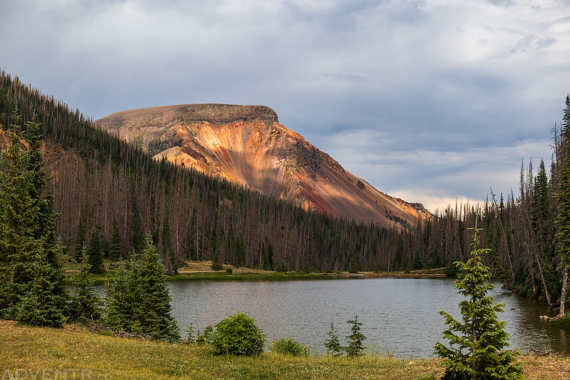
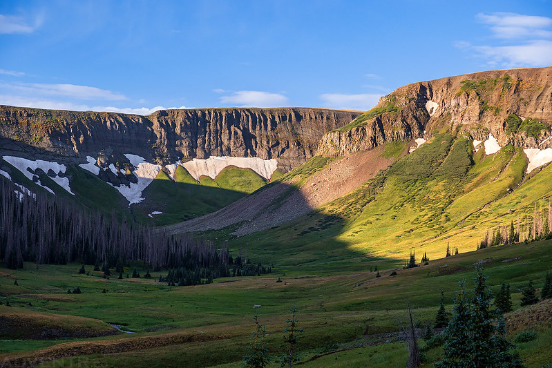
Shortly before sunset I returned to the edge of Schinzel Flats and found a place to camp for the night.

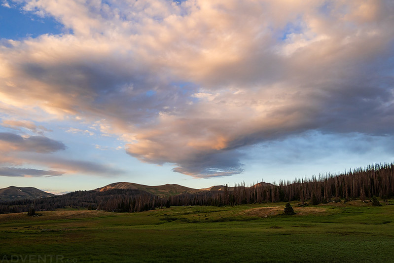
The sky was lovely this evening!

Continental Divide Trail to Long Trek Mountain
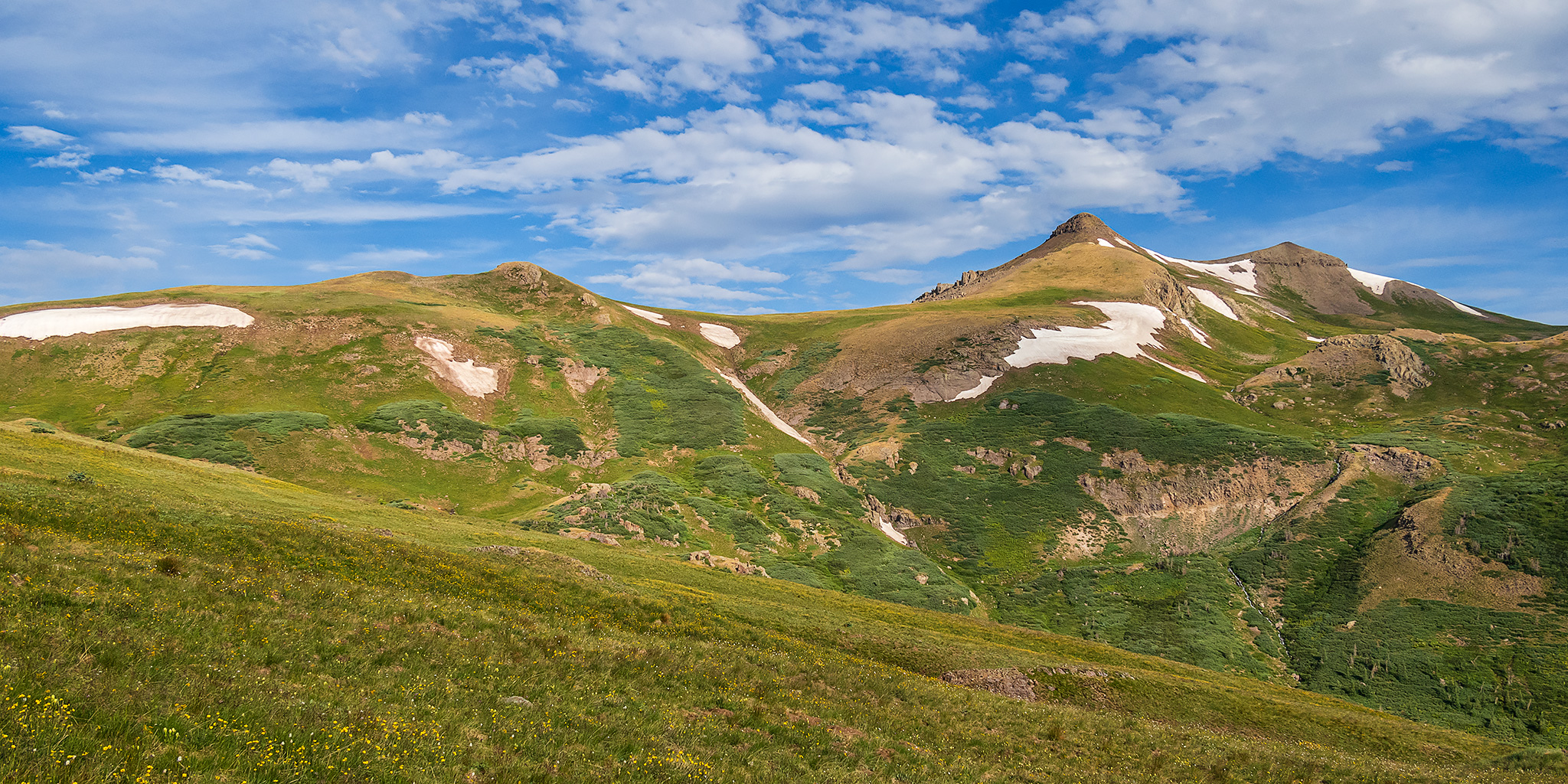
I woke up early on Saturday morning so I could hike to the summit of Long Trek Mountain, which is one of the high peaks located along the Continental Divide in this part of the San Juan Mountains.
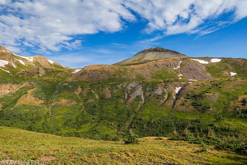
The surrounding peaks were looking good this morning as I made my way over to the trailhead.


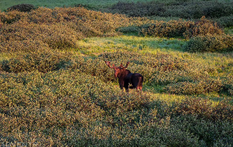
Three moose crossed the road right in front of my Jeep near the trailhead, but this is the only one that stopped long enough for a photo.
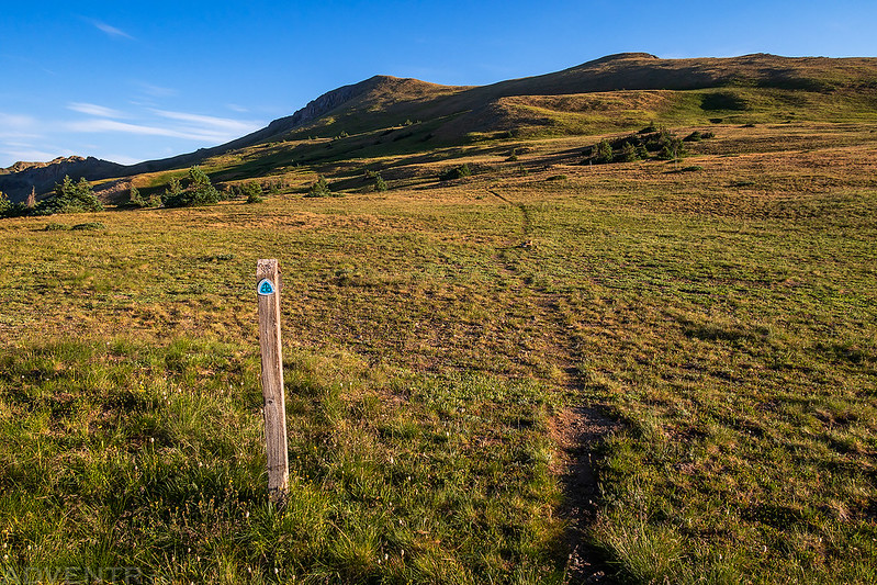
I followed the Crater Lake Trail for a short distance and then continued along the Continental Divide Trail to the base of Long Trek Mountain.

Continental Divide Trail
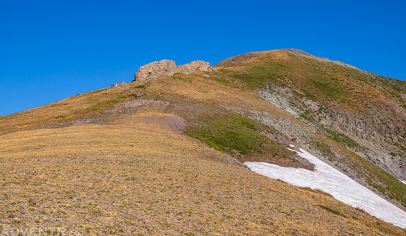
Once I reached this gentle ridge I left the trail and headed straight for the summit.
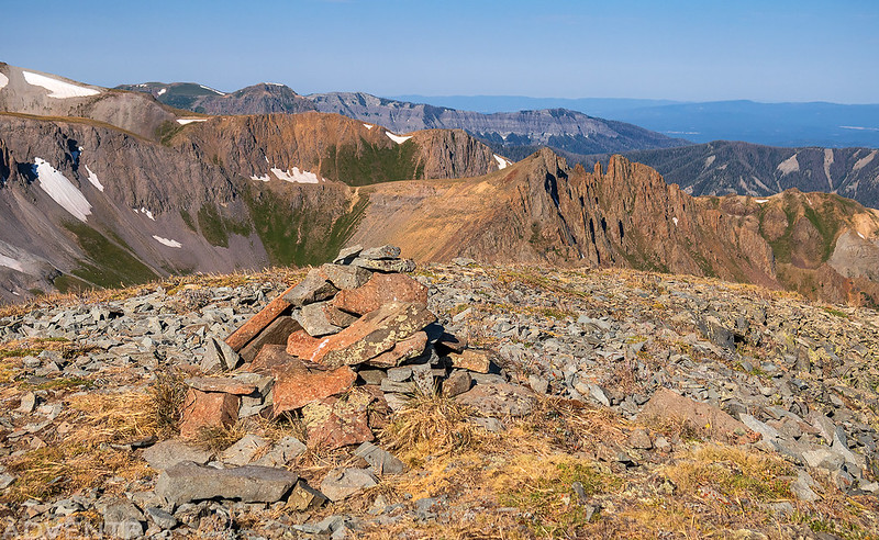
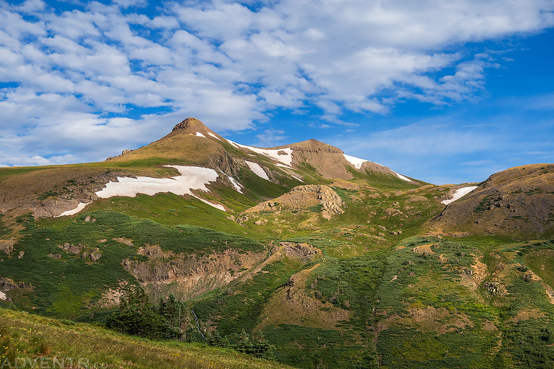
From the ridge I had a good view over to Summit Peak and Montezuma Peak.
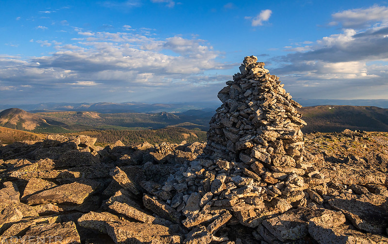
Long Trek Mountain Summit
Rugged Peak

I descended down the south face of the mountain so I could get a better look at Crater Lake below.
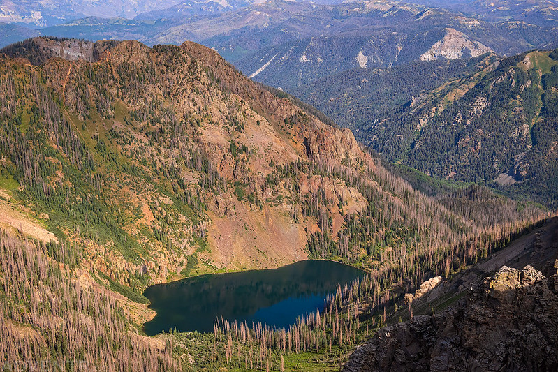
Crater Lake

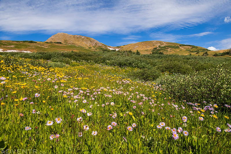
Wildflowers & Montezuma Peak

I caught back up with the Continental Divide Trail and then returned the way I had come, with a short detour to visit this small tarn.

Following the Continental Divide Trail back to my Jeep.

Field of Flowers
Elwood Cabin to Lily Pond & Kerr Lake
Once I returned back to my Jeep from the hike up to Long Trek Mountain, I made my way over to the Elwood Cabin to check things out since I would be spending the next two nights there. Here’s a brief history about this cabin:
The cabin was built in 1911 by the Mountain States Telephone Company as a “line shack” to support crews maintaining the transcontinental telephone line. Remnants of this old telephone line are still found along Iron Creek to the southeast. The cabin was also used as a Forest Service Station from 1950 until 1962, serving as living quarters for Forest Service employees who worked on numerous projects in the area.

The bunk beds were a little too short for me and I didn’t trust my weight on the top bunk, but I made due…


After relaxing in the cabin for a little while I headed out to visit a couple of lakes near Platoro. Along the way I passed by Lake De Nolda which had a nice view of Lookout Mountain in the background.
I went on a short hike to see the cascades and waterfalls of Treasure Creek.


Stunner Cabin
Little Red Mountain & Big Red Mountain
Lily Pond

Kerr Lake
Treasure Creek Trail to Summit Peak
On Sunday morning I was hoping to hike to the summit of Summit Peak, which is the highest peak in the South San Juan Mountains. I almost didn’t go on the hike at all since I didn’t sleep very well overnight, but then decided I would head over there and give it a try and see how things went.
Morning at the Elwood Cabin

I drove over to the trailhead for the Treasure Creek Trail, which is where I was going to start the hike.

After the Treasure Creek Trail climbed steeply through the trees it entered a wide open valley.


Soon the trail switchbacked up into the trees again and was actually a bit tricky to follow in a few places where it seemed to disappear. Once it left the trees again the views were much better.

As I hiked higher I got to see a different side of Montezuma Peak.
The Unicorn

I just love these wide open views along the Continental Divide.

Following the faint trail across the alpine tundra.

I rounded a corner and had an impressive view of Summit Peak. Unfortunately, this is as close as I would be getting to the summit today since my legs were already getting tired and I was slowing down. That’s OK, at least I had this really good view of the peak before turning around!

Rough Creek Falls and the Alamosa River
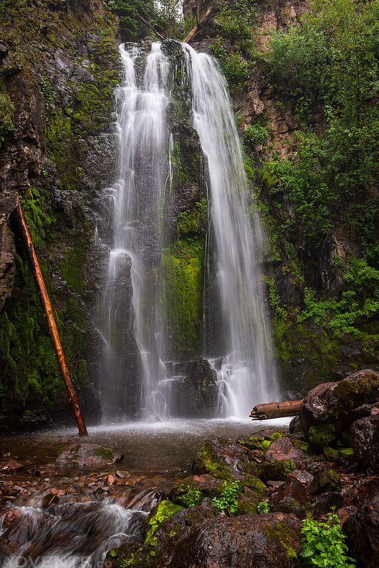
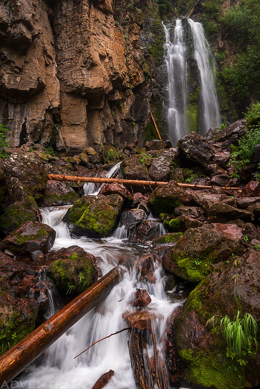
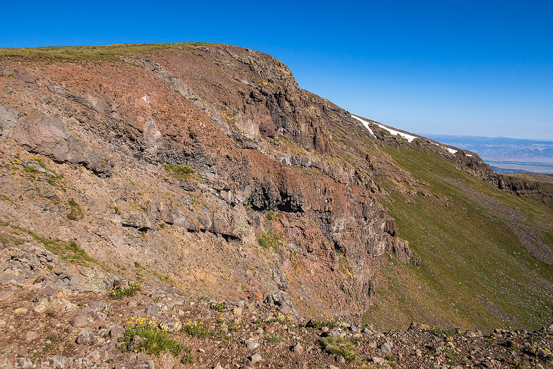
Since I had cut my hike to Summit Peak short in the morning, I spent the rest of the day going on a driving loop through the South San Juan Mountains by following the Conejos River and then the Alamosa River back to the cabin. I did stop to go on one more short hike to visit Rough Creek Falls along the way. There were rumbles of thunder and some rain during the hike, but this trail never got out of the trees so I wasn’t too concerned about lightning.
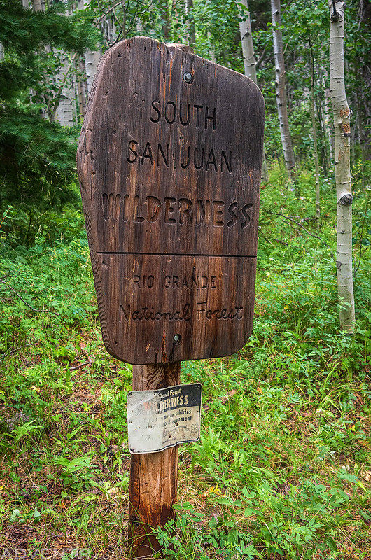
Entering the South San Juan Wilderness.
Rough Creek Falls
I passed by the Terrace Reservoir as I made my way back up the Alamosa River.

There had been a lot of monsoonal rains this afternoon and the Alamosa River was a very bright orange. It also seemed to be much thicker than water…

The Highest Point in Rio Grande County: Bennett Peak
After my final night spent in the Elwood Cabin I decided to go on one last shorter hike before heading back home. I was going to drive up to Blowout Pass and then hike to the summit of Bennett Peak, which is the highpoint of Rio Grande County.
Another lovely morning at the Elwood Cabin.
Montezuma Peak and Long Trek Mountain tower above the Elwood Cabin at sunrise.

On my way over to Blowout Pass I decided to take a short detour to the summit of Grayback Mountain. As you can see in this photo, the mountain was covered by domestic sheep and they caused a little traffic jam for me on the way up.
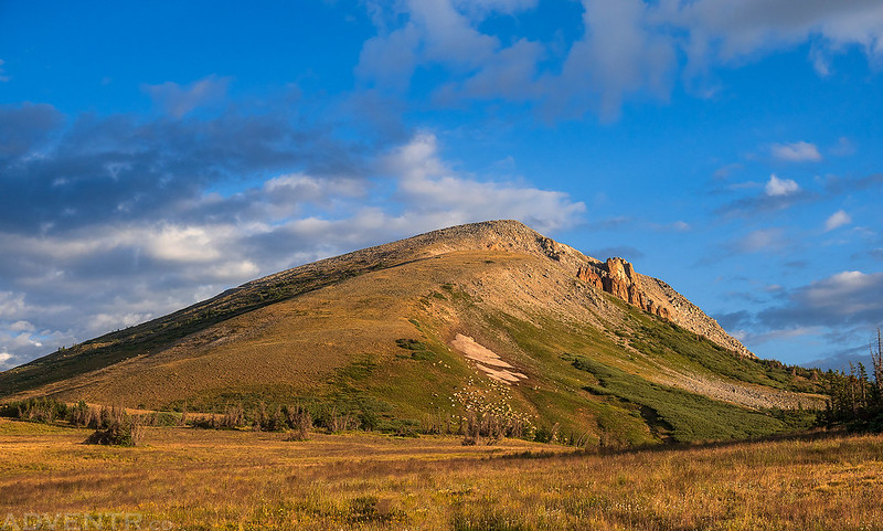
Grayback Mountain Summit
A nice view from the summit.

It was a bit of a drive to Blowout Pass, but once I reached the pass I parked my Jeep and started hiking up the ATV trail that goes all the way to the top.

Sheep Mountain

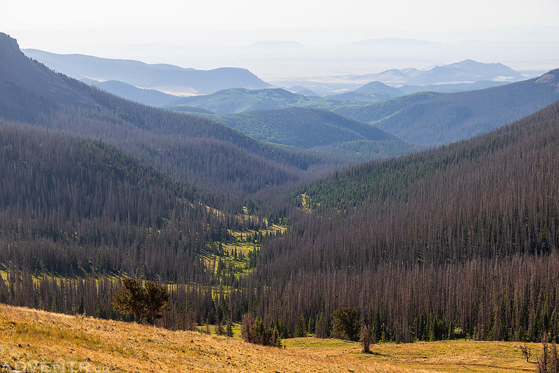
A hazy view over the South Fork of Rock Creek and San Luis Valley into New Mexico. Somewhere through all that haze is Wheeler Peak.
Bennett Peak looked a little more rugged on it’s east face.
Bennett Peak Summit

Here’s one final parting shot of the South San Juan Mountains as I hiked back down to Blowout Pass and then started my drive back home. It had been a nice couple of days in the South San Juan’s and hopefully I return sooner than I did this last time!

Thank you for sharing your beautiful experience with everyone. God bless you my friend!!!
Thanks Adam!
I am so glad I found your site! We headed to Elwood Cabin this first week of September and I have been searching around looking for posts about the area. I enjoyed seeing all of your trip photos and details!
I’m glad my Trip report was helpful to you. Have a great time at Elwood!
Looks like you had a fantastic trip. Hope you enjoyed yourself and the views. You have definitely seen some of our local treasures. However, I have to speak up about how the fact that you have advertised so many places that we know and love to every Tom Dick and Harry who has a jeep or side by side, so they can tear up our roads and disrespect OUR recourses. Out of towners have become an increasing problem, year after year. Every time I see someone like you advertising our used to be remote places on the internet, I die a little more. For so many years places like these are where us locals could go to avoid Texans and the likes that think they own the place. Excellent photos but sadly disappointed in you sir.
So, as someone who has followed Randy for quite a while I was a little surprised by this comment. Of all the adventure sites out there, Randy is one of the more careful about stating – or rather, not stating – exactly where he’s been when the places in question are not already well known. (Full disclosure – as someone who’d like to see some of the spots he’s been, and who’s done *a lot* of research to try and find some of them, it can even be frustrating! And yet, I don’t begrudge him not sharing more, I find it totally understandable.)
After seeing your comment, I read through the trip report again, thinking that perhaps I missed something or that reading it with a critical eye would identify something for me, but the only places he’s mentioned that are vehicle-accessible are already covered extensively on the internet, and those that require hiking… well, I’ve learned from experience that there’s little risk that today’s US population is going to take on most of Randy’s hikes.
Of course, there’s always a balance to strike with sharing the beauty that one finds outside and the risk of other people trying to see those same things. Sharing GPS coordinates or explicit tracks makes it – in my opinion – too easy. But mentioning an already-reasonably-well-known spot and still requiring that someone do their own research to figure out how to get there, seems to be to be just fine (and filters out the vast majority of folks who shouldn’t be there, precisely because they aren’t willing to do any research).
“Out of towners” becoming a problem is nothing new, and an easy scapegoat to the “in-towners” who also rip around and tear up the land in their UTVs. Because remember, “OUR” resources – at least given the current US public land system – do not belong to a locality.
The internet has definitely made finding these places easier. That cat is out of the bag. The trick now is figuring out how to educate people – in a society where it’s all about “me,” likes, and a strong sense of entitlement – on how to be respectful in the way they interact with the outdoors and the things they find there. This was something that a generation ago, parents (or grandparents) would do when teaching their kids to camp and explore. Today, with “parenting” often left to phones and social media, and a pervasive us-vs-them mentality that gets us angry before we even have a chat with another person, it’s no wonder we find ourselves in the situation we do.
This is of course all my opinion from my years of similar-style adventure. I’d be happy to hear your thoughts on how to solve the problem (in a way that’s not just “keep it to myself/secret”) if you have ideas that you think would work!