Press "Enter" to skip to content

Tag: continental divide national scenic trail

Wind River Country and the Absaroka Range

Encircling the Wind River Range: Rock Art of the Wind River & Bighorn Basin
Tuesday – Sunday, August 15-20, 2023

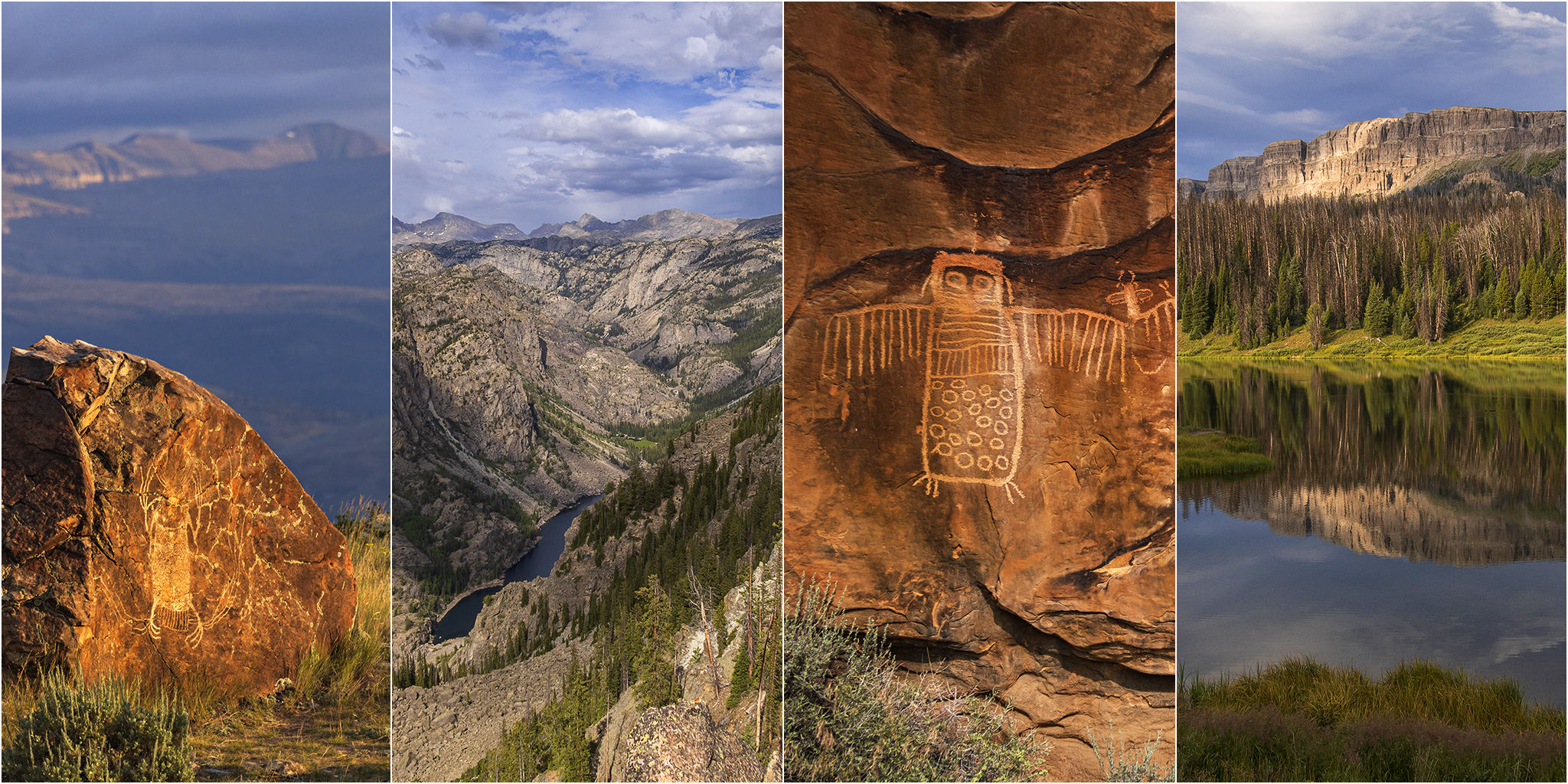
After spending the past three days on the Ruby – Horsethief section of the Colorado River it was time for our biennial return to the Wind River Range in Wyoming to begin. Ever since our first trip in 2017 to see the Great American Eclipse, we’ve made it our goal to try and return every other year, which so far we have been able to keep up. Although we have typically gone on a longer backpacking trip during each visit, this year I was more interested in visiting some rock art sites near the Wind River and in the Bighorn Basin that I’ve wanted to see for a long time. So with limited time preventing a longer backpacking trip, we instead looked into going on some shorter day hikes and even branched out into visiting the nearby Absaroka Range for the first time.

2 Comments
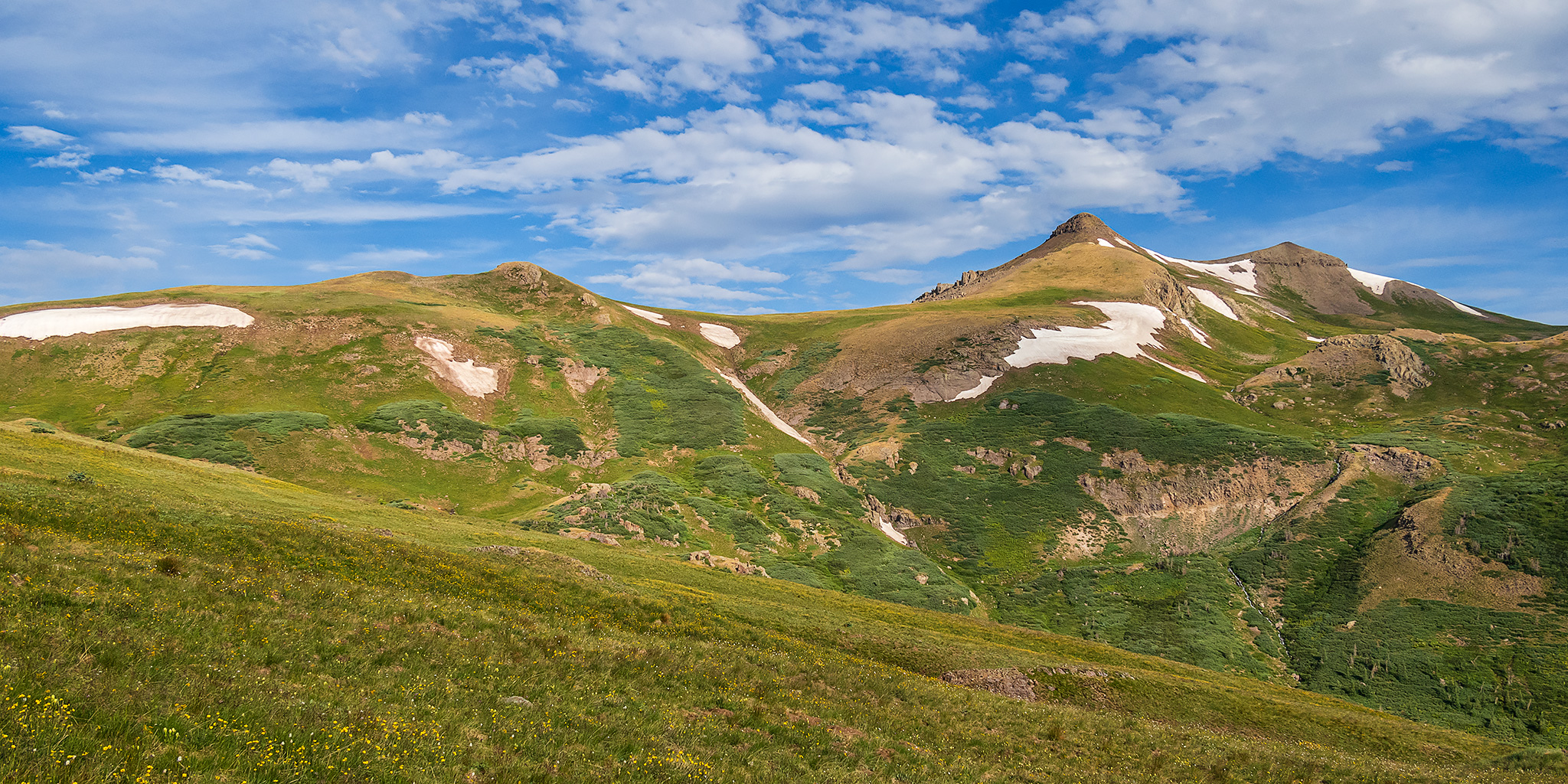
South San Juan Mountains from Elwood Pass

Friday – Monday, July 28 – 31, 2023

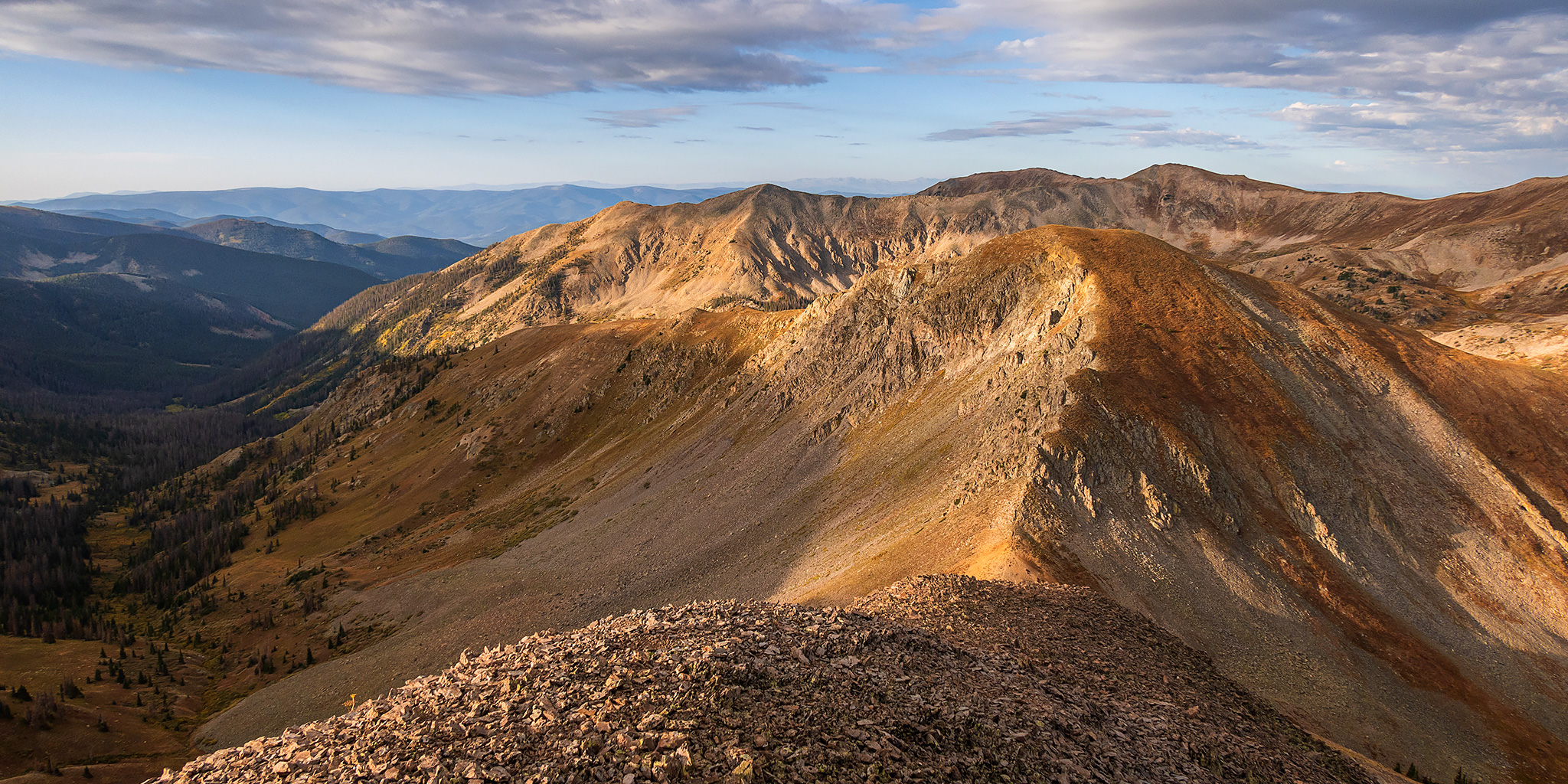
After spending the last two days around the Animas River Valley between Coal Bank Pass and Durango, I decided to spend the next couple of days further south and east in a distant part of the San Juan Mountains that I don’t get around to visiting very often. I’ve definitely been long overdue for another visit to the South San Juan Mountains between Wolf Creek Pass and the New Mexico state line and figured that this would be a good opportunity to get back since it wasn’t too much further away. After the GIS Colorado Summer Meetup concluded late in the morning on Friday I packed up my Jeep and made my way over to Pagosa Springs to continue on with the next leg of the trip.

2 Comments

Mountains of Minerals: Rocky Gulch & Maggie Gulch

San Juan Triangle | Friday – Sunday, July 14-16, 2023

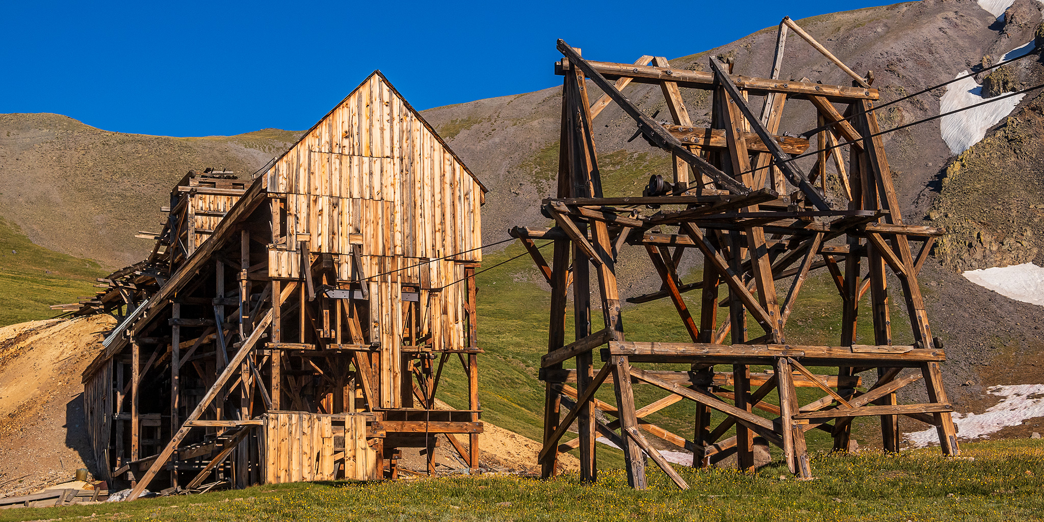
To escape the rising temperatures in the lower valleys this weekend, I decided to head up into the San Juan Mountains near Silverton so I could spend some time exploring and hiking in Rocky Gulch and Maggie Gulch which are both situated along the Continental Divide. I left from work on Friday afternoon and made my way south over Red Mountain Pass to Silverton and then headed up Cunningham Gulch and Rocky Gulch where I followed the steep Jeep road all the way up to over 13,000 feet. From the overlook at the end of the road I stopped to eat dinner and enjoyed the expansive alpine views.

1 Comment

Rabbit Ears Range: Parkview Mountain Fire Lookout

Fire Lookouts Extravaganza | Thursday, September 1, 2022

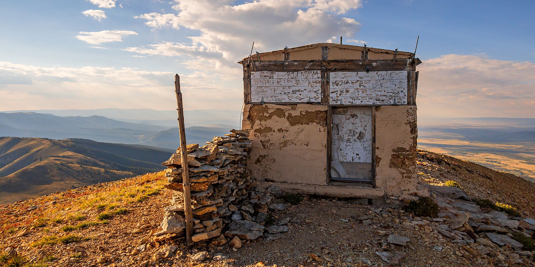
After visiting a couple Fire Lookouts in the morning, I made my way back to North Park in the afternoon via the Cache La Poudre River and Cameron Pass and then headed south over Willow Creek Pass. Just on the other side of the pass I drove up the switchbacks of an old mining road that joined up with the Continental Divide Trail on the southern flank of Parkview Mountain, which at 12,296 feet is the highest point in the Rabbit Ears Range. On top of Parkview Mountain is the final Fire Lookout that I planned to visit on this trip and it’s also the second highest lookout in the United States after the one on top of Fairview Peak in the Sawatch Range. I was originally planning to camp near the end of the road and then hike to the summit in the morning, but since there were still three hours until sunset and the weather was looking good, I decided to hike up this evening.

Leave a Comment

Southern Sawatch Saweekend

Friday – Sunday, September 10-12, 2021

This weekend was going to be the last opportunity for me to hike a 14er this summer, and since I have climbed at least one 14er each summer since 2010 I was originally planning to. However, as I started figuring out my weekend plans I just wasn’t feeling like hiking on a busy trail and was looking for a little more solitude, so I decided to skip the 14ers this year and headed to the southern Sawatch Range to hike a few peaks along the Continental Divide instead. I left from work on Friday afternoon and headed to Gunnison, taking the route through Hotchkiss and Crawford since Highway 50 is still closed until 5:30pm on weekdays and I wasn’t sure how quickly I would get to that point. I topped off my fuel tank in Gunnison and then made my way over to Pitkin and started up the road to Hancock Pass. Unfortunately, the road near the top of the pass was much rougher than I remember it being and I wasn’t comfortable driving a section of it in the dark, so I returned all the way back to Highway 50 and drove over Monarch Pass to the Middle Fork of the South Arkansas River and found a place to spend the night shortly before the end of that road. It was pretty late by the time I arrived, so I went right to bed.

Leave a Comment