Friday – Sunday, June 2-4, 2023
This weekend Jared and I met up in the San Rafael Swell so we could float the San Rafael River with our packrafts while there was still enough water left this year. Although our last packrafting trip together on the Dirty Devil River may not have gone as well as we had hoped, Jared was looking forward to getting his packraft on a river that actually had enough water this time and I was looking forward to a return visit into the Little Grand Canyon! I left from work on Friday afternoon and made my way over to the Swinging Bridge at the mouth of Buckhorn Wash, where we planned to meet up. I arrived a couple hours before Jared was going to, so I drove a little ways down the Mexican Mountain Road and found us a campsite just as it started to rain.
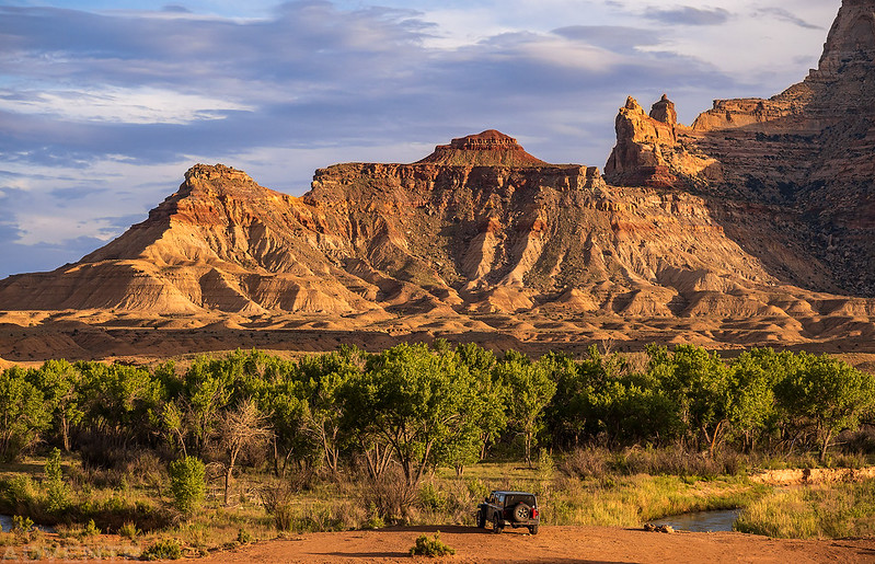
I ate my dinner in the Jeep with a view of Window Blind Peak through the rain in front of me.
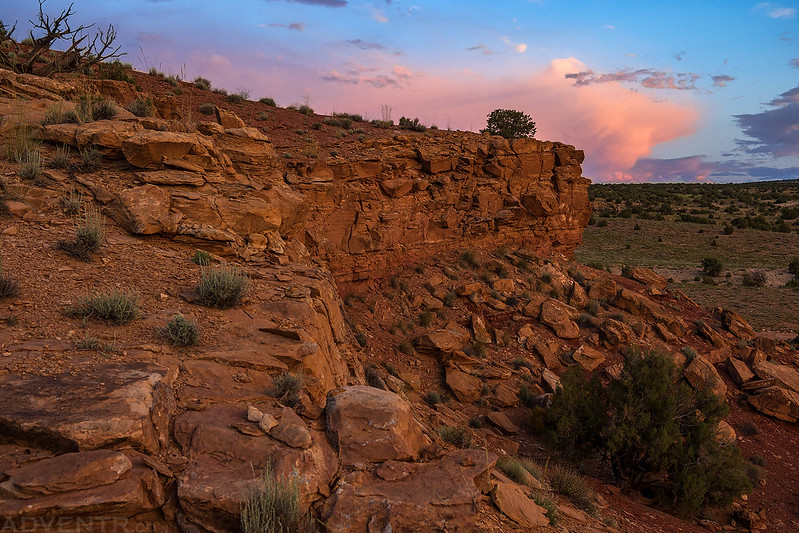
Once the rain stopped I wandered around the campsite for a little bit and there seemed to be wildflowers everywhere!
Eventually the sun came out again and lit up the cliffs around me.
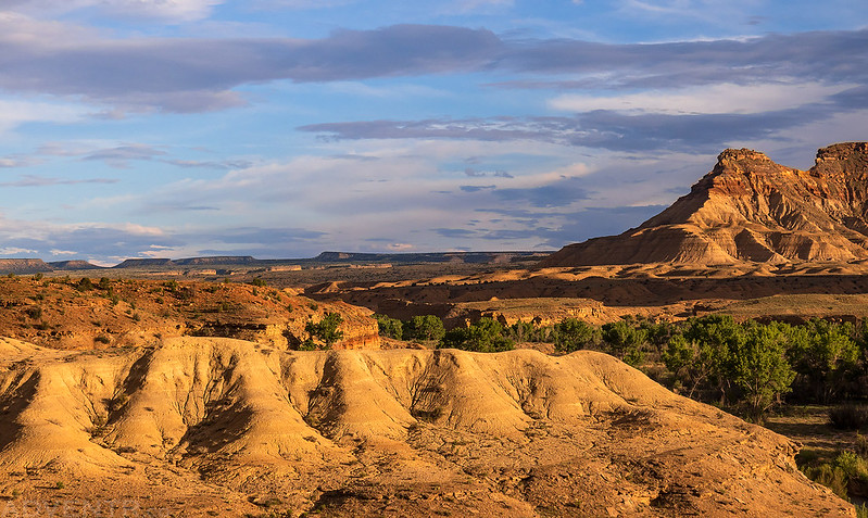
I climbed up to a higher vantage point for some more expansive views.
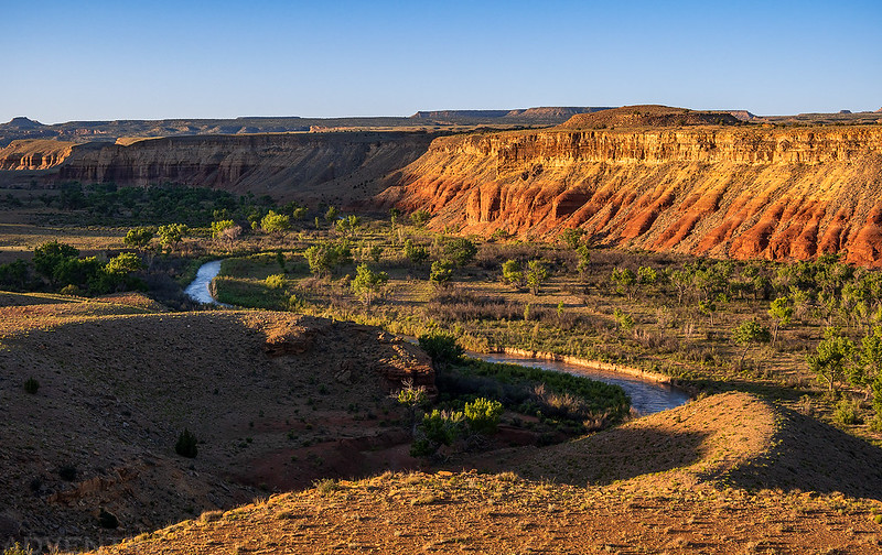
Looking down over the campsite.
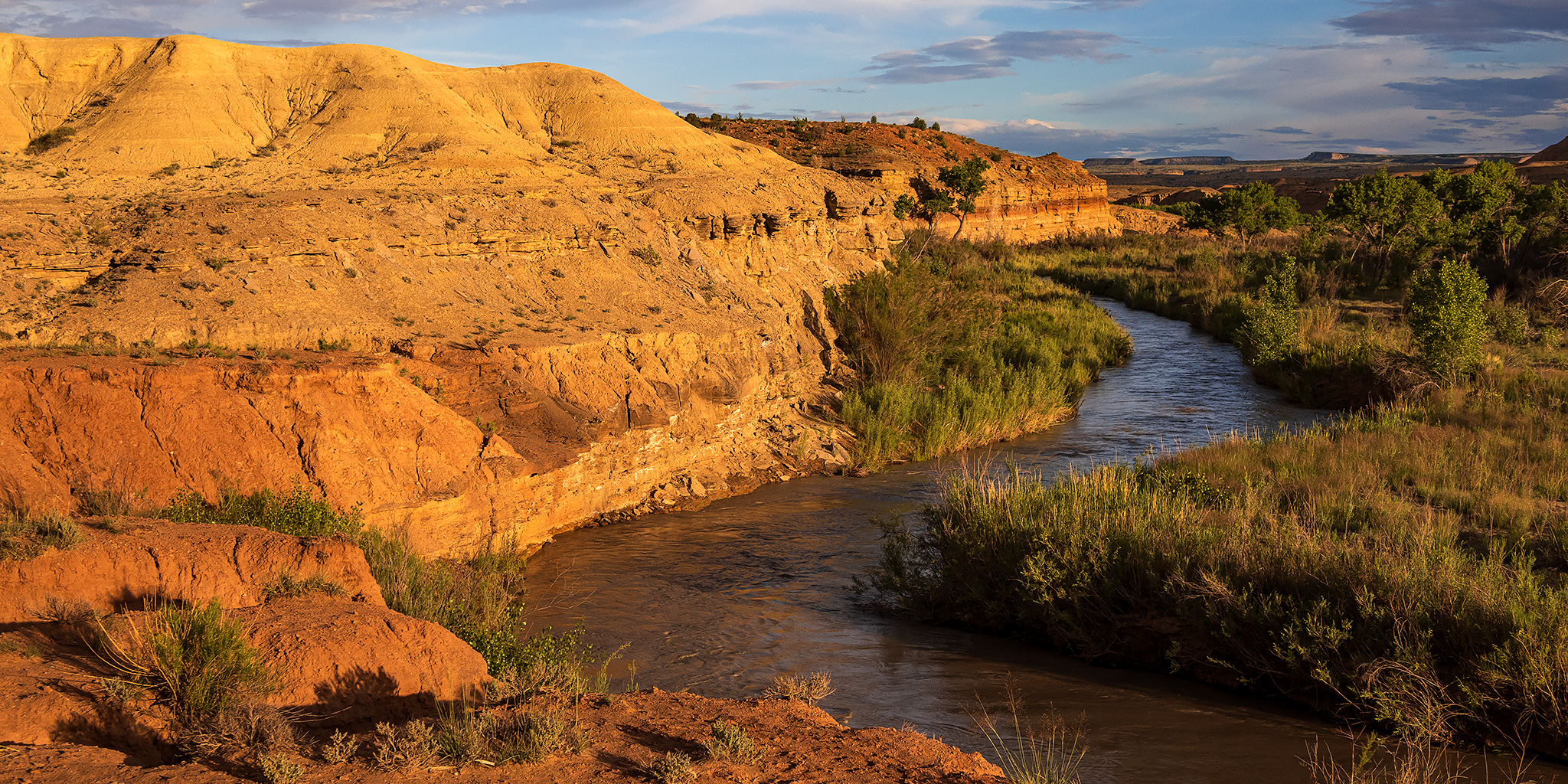
It was turning out to be a beautiful evening along the San Rafael River.
I met Jared at the Swinging Bridge around 8:00pm and then we returned to camp just in time to finish watching the sunset.
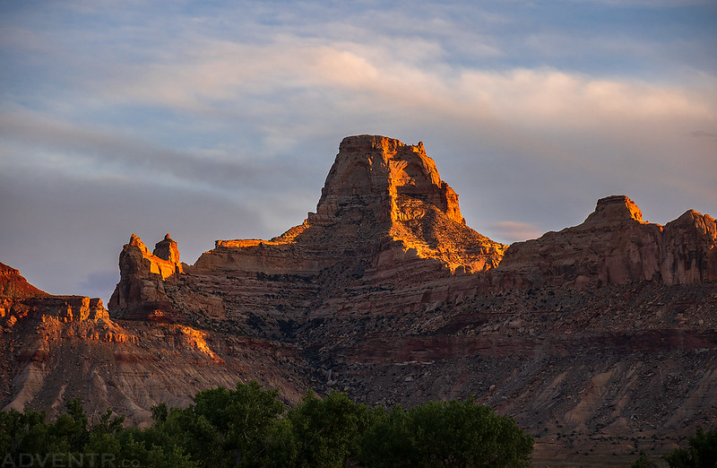
Window Blind Peak
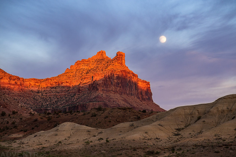
The Strawberry Moon was just becoming visible through the clouds as the last sunlight of the day touched the tops of the cliffs.
After catching up for a bit, we went to bed early so we could get an early start on Saturday morning.
Packrafting the Little Grand Canyon: Fuller Bottom to Swinging Bridge
Average CFS: 530
After a good night of sleep Jared and I were up before sunrise so we could drop my Jeep off at the Swinging Bridge and then drive around to Fuller Bottom to get an early start. This is a popular stretch of river when there is enough water and there were a lot of people around, so we wanted to try to get on it before most of them.
Window Blind Peak at Sunrise
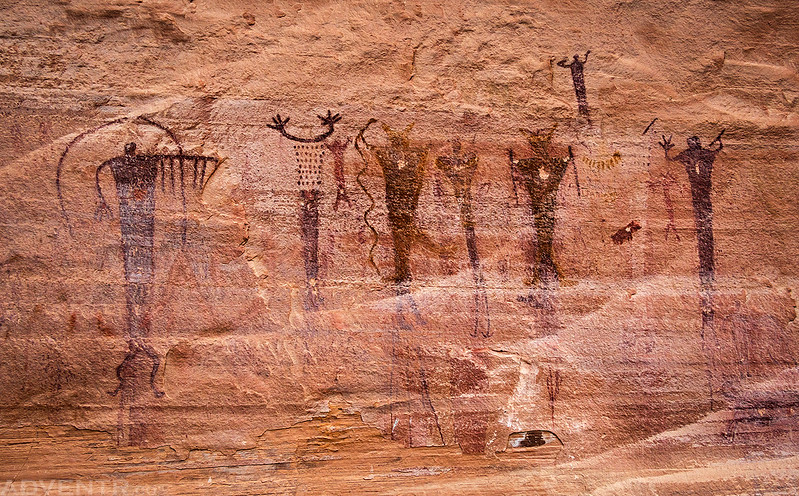
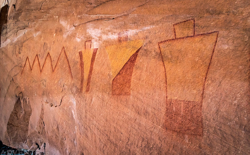
We briefly stopped at the Buckhorn Wash Pictograph Panel along the way. It’s hard to resist!
When we reached Fuller Bottom we found a lot of people camped there as well, which wasn’t unexpected. But unfortunately, there were many people camping right at the access points to the river which made finding a spot to put-in a little difficult, especially since we were there early and many of them were still inside their tents sleeping. A little inconsiderate, if you ask me…
Nevertheless, we found a spot to access the river and got our packrafts ready for the day.
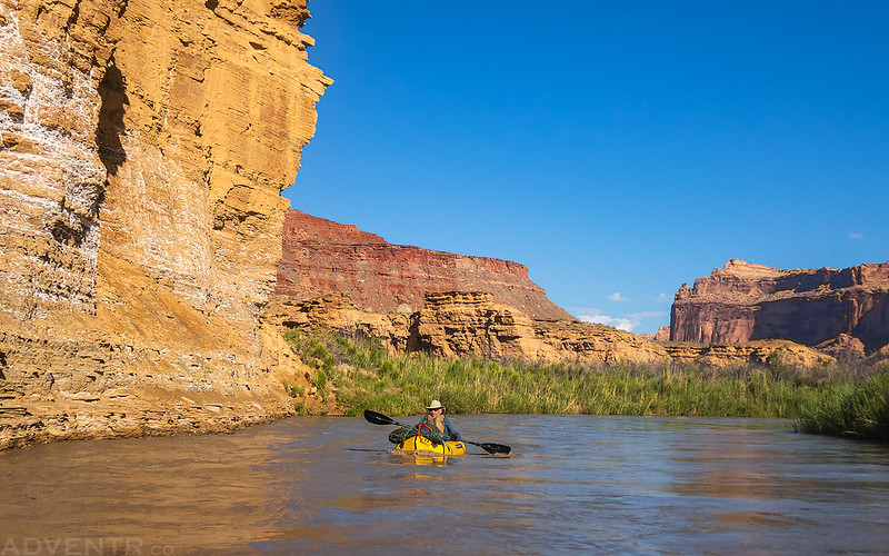
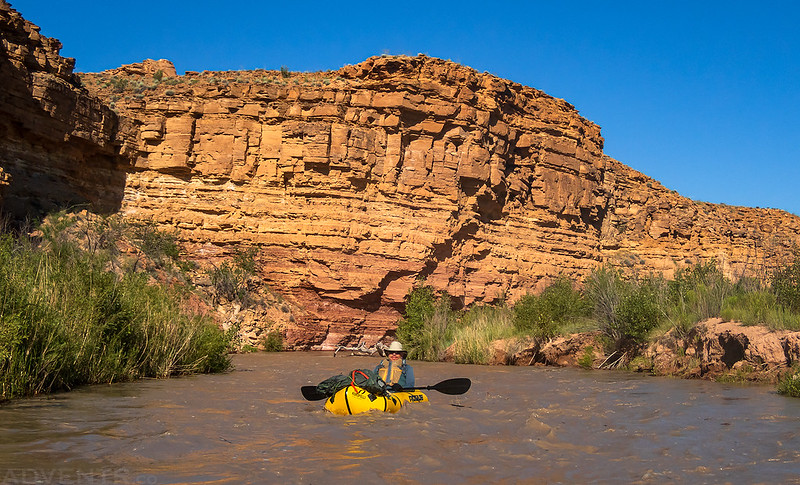
We were on the water before 8:00am and floating downstream around the tight curves at about five miles per hour, on average.
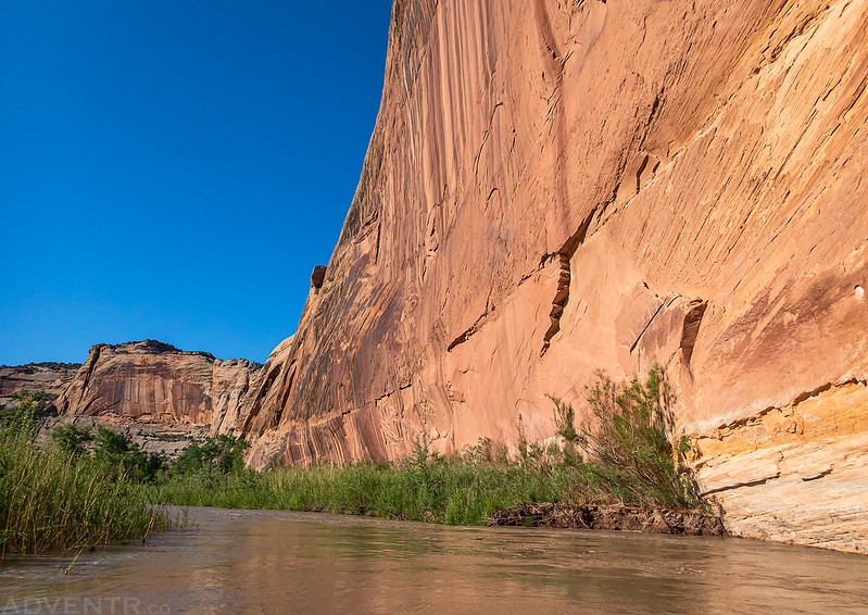
It wasn’t long until the canyon walls started to grow taller.
The last time I floated this stretch of the river in my ducky it was flowing at almost 1,000 CFS and out of it’s banks. This time it was about half that and I think this was a much better level for a float through this canyon.
Passing below the Little Wedge and North Salt Wash, which I had just hiked down back in April.
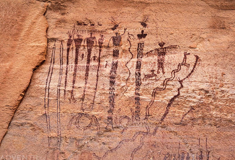
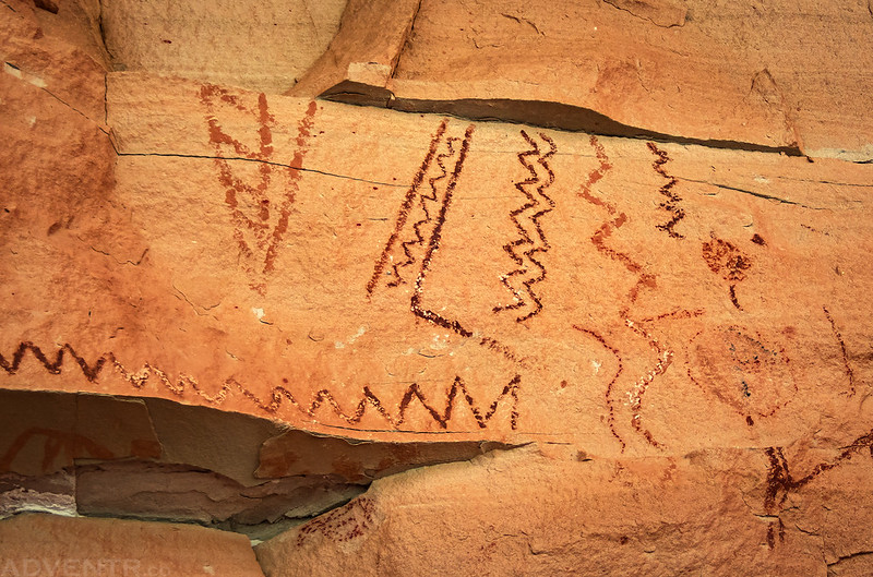
Of course, we stopped to check out the amazing Barrier Canyon Style pictographs in Virgin Spring Canyon.
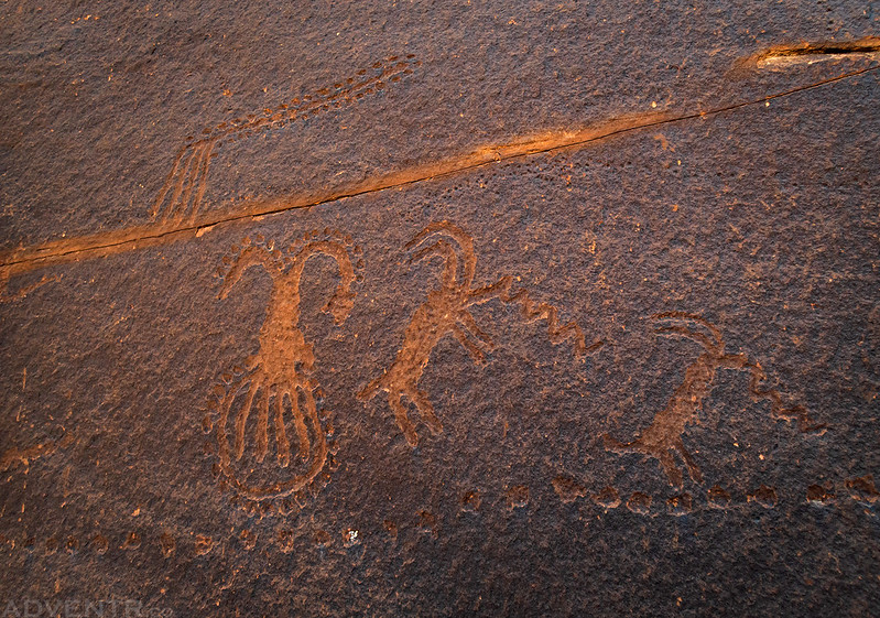
We visited some other unusual petroglyphs nearby, too.
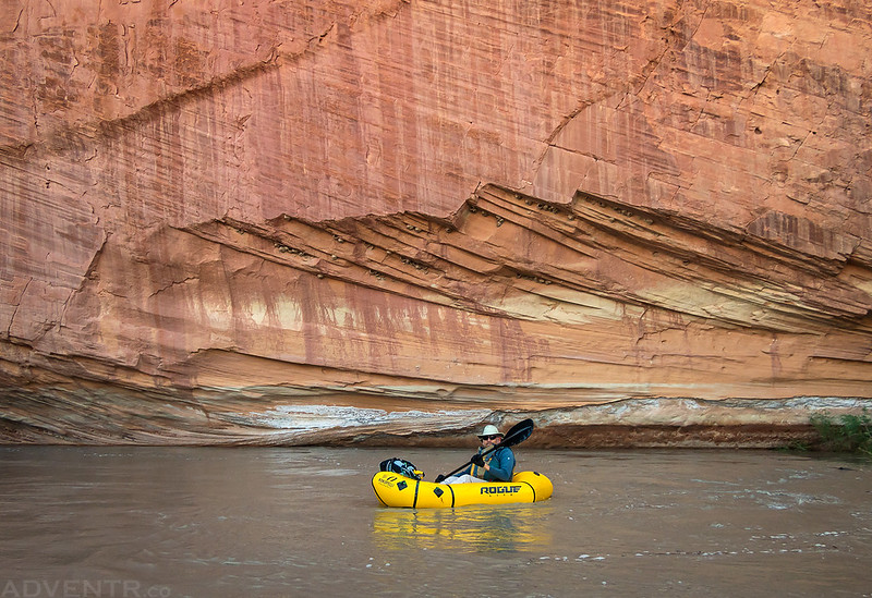
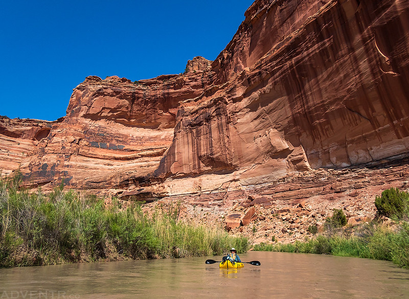
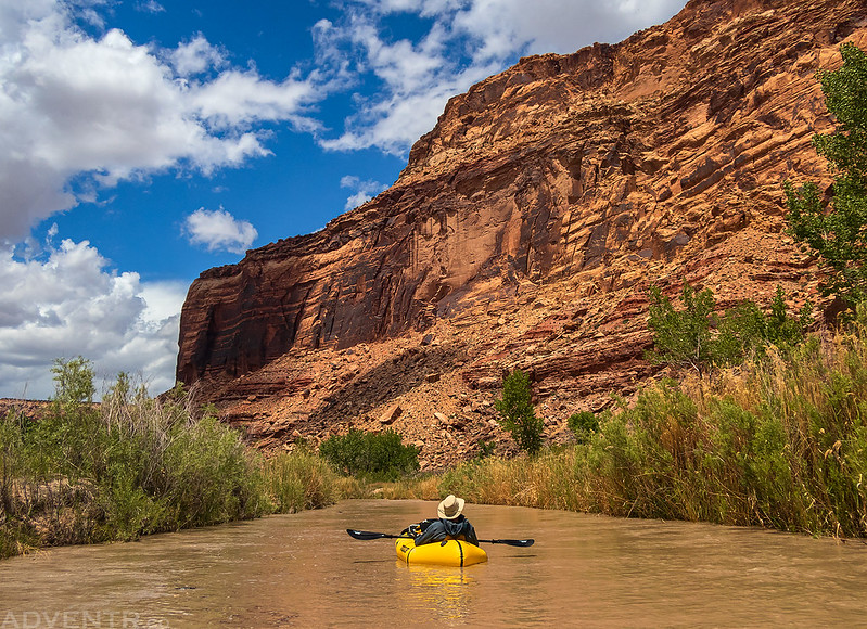
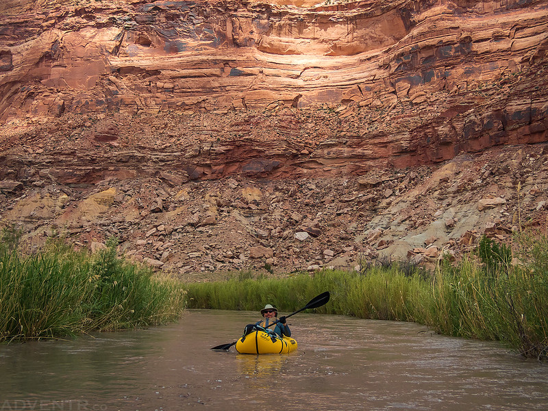
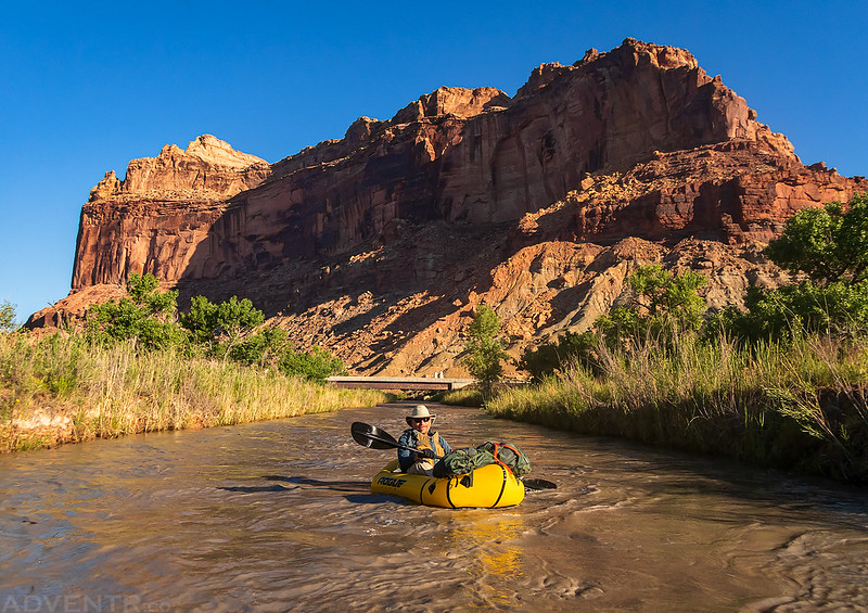
Jared floating through the Little Grand Canyon.
You would not believe how many beavers we saw or heard jump into the river as we floated by this morning. A number of them startled me as they jumped into the water right behind me! I never was able to get any photos of them, though.
These amazing Fremont pictographs are always worth the stop and steep climb.
Our final stop of the day was to hike to these pictograph designs in Cane Wash.
During the last few miles of the float clouds began to build across the sky and it looked like there might actually be a storm on the way.
As we left the Little Grand Canyon behind and neared the Swinging Bridge, we started to hear some rumbles of thunder off in the distance.
After about six hours on the river, which included all of our hiking stops, we returned to the Swinging Bridge and got our boats packed up before there was any rain. As we drove back to Fuller Bottom to pick up Jared’s Jeep there were only a few sprinkles of rain, so that’s why we were very surprised to find mud and standing water on the road when we returned to Swinging Bridge a short while later. It looks like there must have been a good downpour while we were gone! We took off down the Mexican Mountain Road again to find a different campsite further out this evening.
Packrafting the San Rafael River: Swinging Bridge to Lockhart Box
Average CFS: 710
After spending Saturday morning in the Little Grand Canyon I wanted to float the next section of the San Rafael River from the Swinging Bridge to Lockhart Box on Sunday morning. Although I hadn’t found much information about this stretch of the river, aside from kayakers who paddle through the Upper Black Box, it sounded like it should be more of the same flat-water until that point.
We drove down the Mexican Mountain Road on Saturday afternoon until we found a good campsite near the Lockhart Box Trailhead.
Although I had found a little information about the Lockhart Box Trail and thought it might make a good take-out before entering the Black Box, I had never hiked it before and didn’t know if it would actually work, so Jared and I hiked down the trail this evening to check it out. Lucky for us, it was an easy one mile hike and there was even a good place to get off the river at the end. It would work perfectly for us!
Looking into the very beginning of the Black Box from the Lockhart Box Trail.
After our hike down to the river we returned to camp and waited for sunset to arrive.
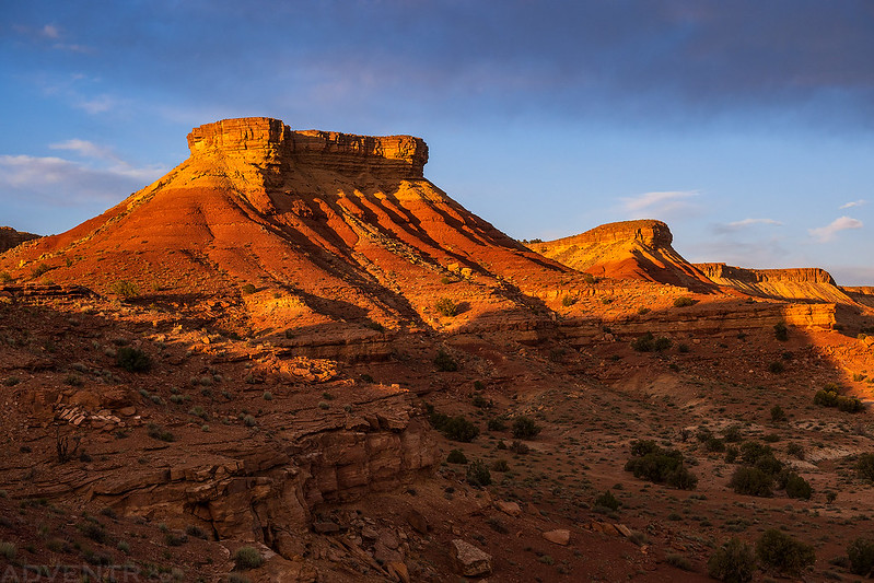
The light was nice this evening!
On Sunday morning we stopped at an overlook to try and scout the river from above as we made our way back to Swinging Bridge.
Assembly Hall Peak
Ready to put-in just above the Swinging Bridge.
Floating beyond the bridges…
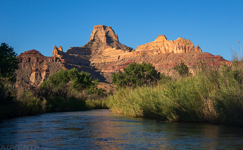
Here’s yet another view of Window Blind Peak- this time from the river.
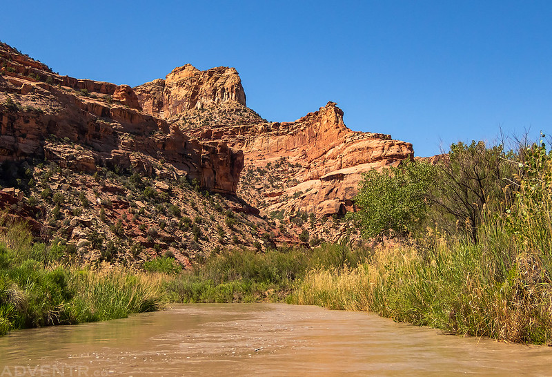
Just as we expected, this float was much like the upper section with tight curves and mostly flat water. There were a few strainers we had to watch out for along the way, with one log that was almost river-wide.
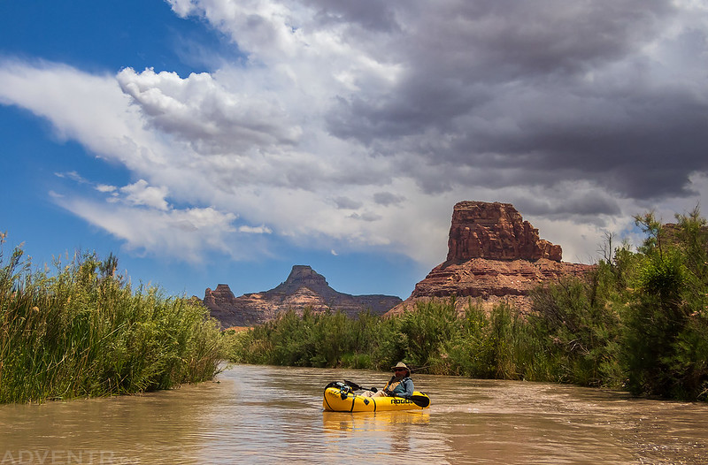
A final shot of Jared on the river.
It took us about 2.5 hours to reach our take-out spot which was about 10.5 miles from the bridges.
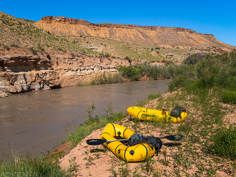
Once off the river we dried out our gear and packed it up for the hike out.
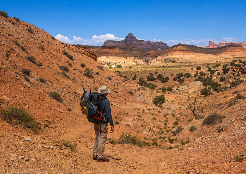
Hiking up the Lockhart Box Trail to my Jeep waiting at the trailhead.
Before heading home we made a little detour and drove out to visit a small petroglyph panel that neither of us had been to before.
Little Holes
Then I hopped onto the Green River Cutoff Road and started my drive back home. It had been another amazing weekend in the San Rafael Swell!
>> San Rafael River Photo Gallery
San Rafael River Map
Fuller Bottom to Lockhart Box























Always beautiful photographs of your adventures! You should consider putting a book together one of these days.
Thanks Natalie. This blog is probably the closest I will ever come to writing a book, though.