Maroon Bells – Snowmass Wilderness | Friday – Saturday, June 26-27, 2026
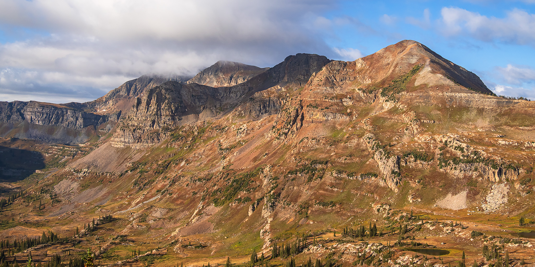
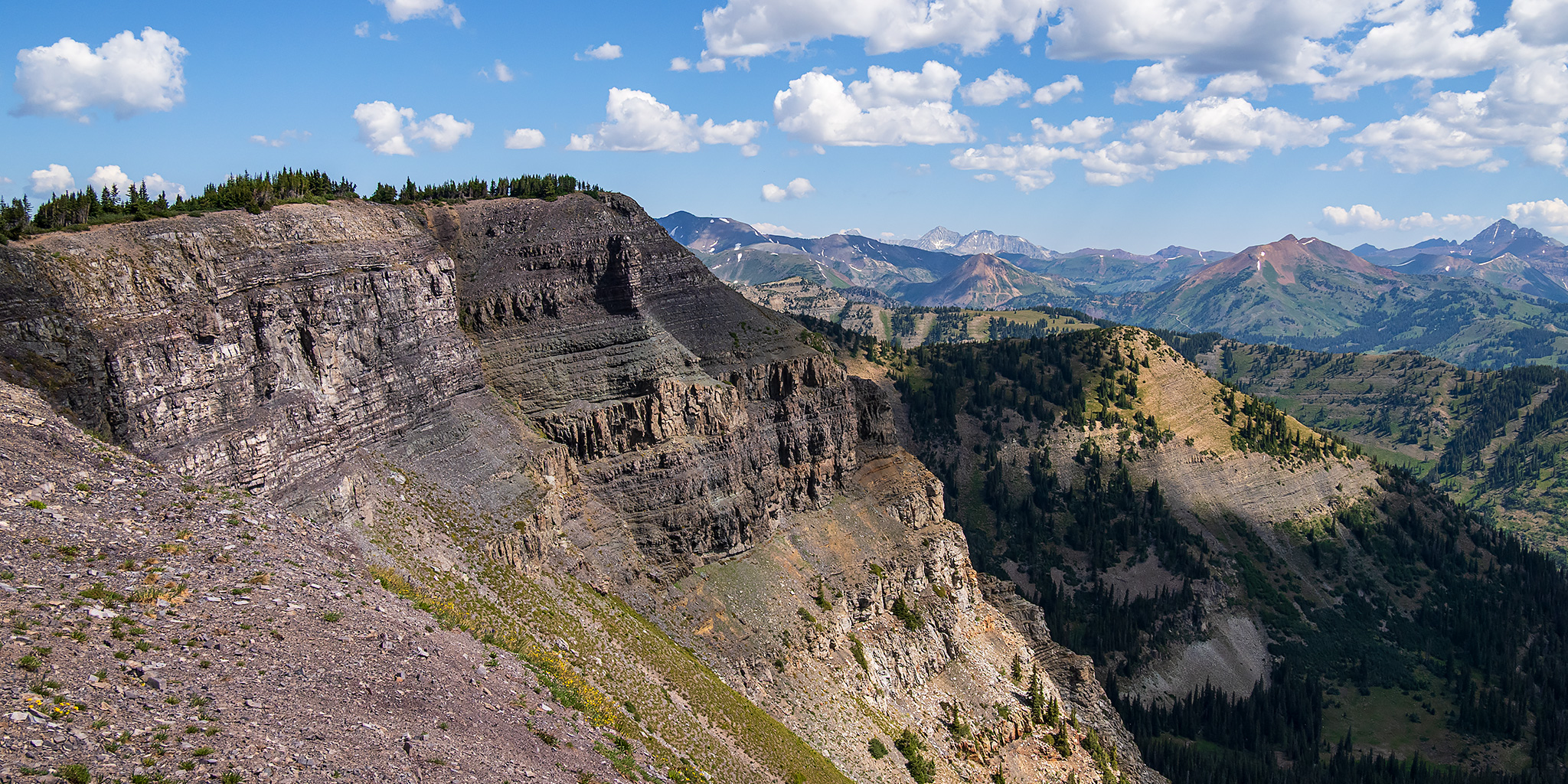
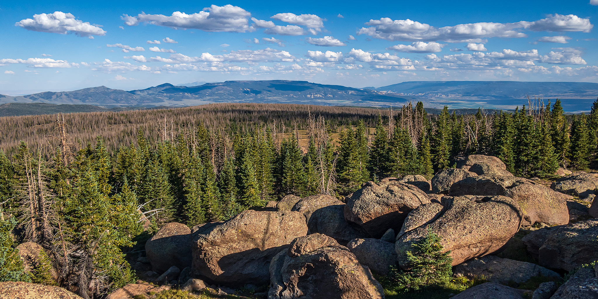
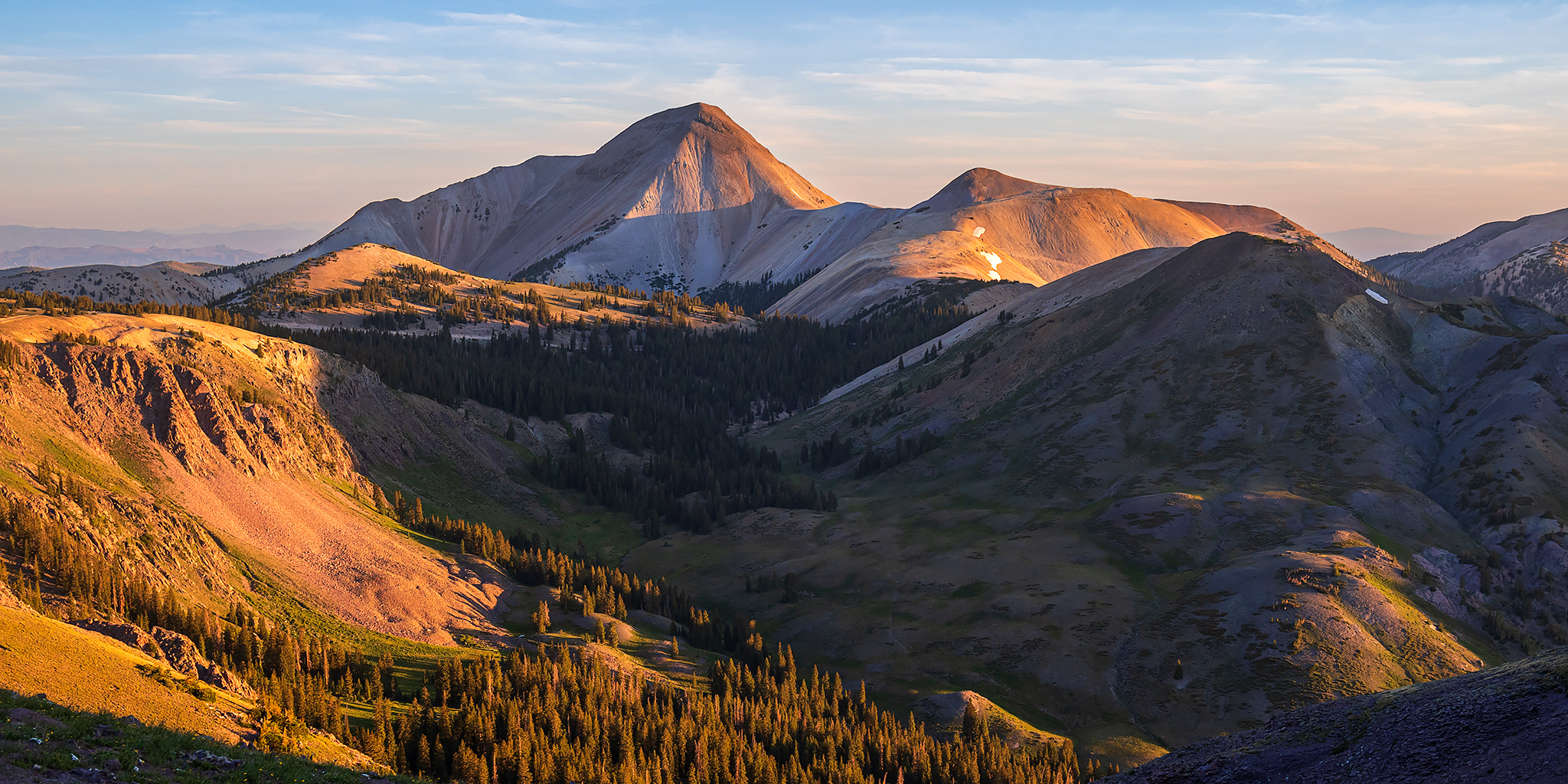
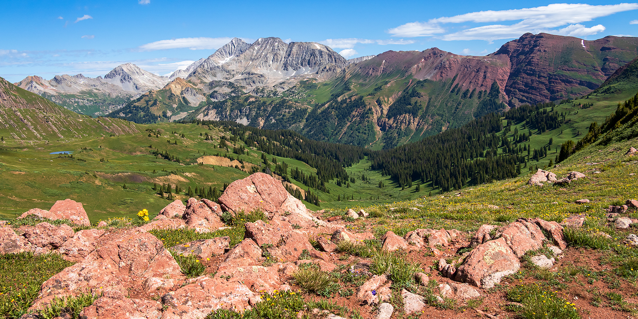
This weekend I returned to the western side of the Maroon Bells – Snowmass Wilderness near Crested Butte so I could get in a nice alpine day hike on Saturday morning. Although I was initially planning to hike in a different area of the Wilderness at first, when I saw that the weather forecast was calling for rain overnight I though it would be a good idea to change up my plans and hike into the East Fork of the Crystal River just below Schofield Pass so I could quickly get up above treeline since I hoped that there might be some low clouds surrounding the peaks on Saturday morning at sunrise. Unfortunately, this weekend was a good reminder of why I usually avoid heading over to the Crested Butte area before Labor Day since getting around before and after the hike was kind of a pain in the ass, but since that’s probably not going to be an option for me this summer I thought I would make an exception and try going earlier in the season.
3 Comments