Friday – Sunday, December 10-12, 2021
Back in October, before the prices of backcountry permits in Canyonlands National Park were set to increase, I decided to grab a couple more permits over the winter for campsites along the White Rim Trail. The first permit I got was for mid-December along the western end of the White Rim Trail at the Hardscrabble Bottom and Taylor Canyon campsites. Both were campsites that I had not stayed at yet. I actually had a permit to stay at the Taylor Canyon campsite two years ago when I was working on completing all of the hiking trails in the Island in the Sky District, but a weather system moving through the area that weekend made me change those plans, so I was looking forward to another opportunity. There were also some short hikes along this section of the White Rim Trail that I wanted to check out last year while Diane and Jared were riding the White Rim, but I ended up not having time for them.
As the weekend approached I was worried that my plans for the White Rim were going to have to be delayed again since the first major winter storm of the season was coming through the area on Thursday night, and I was a little worried how the roads were going to be. When I left work on Friday afternoon I had actually planned to push this trip to the following weekend and stay up in the Labyrinth Rims area again instead, but when I turned off onto the Blue Hills Road it didn’t appear that the roads were very wet from the storm, so I made another last-minute decision and headed over to the Mineral Bottom switchbacks to carry on with the original trip as planned. As I followed the road along the Green River into Canyonlands, I was actually surprised at how dry it was. I guess the storm had missed this part of the Colorado Plateau!
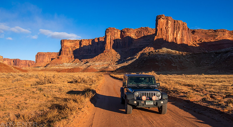
An evening drive across Horsethief Bottom.
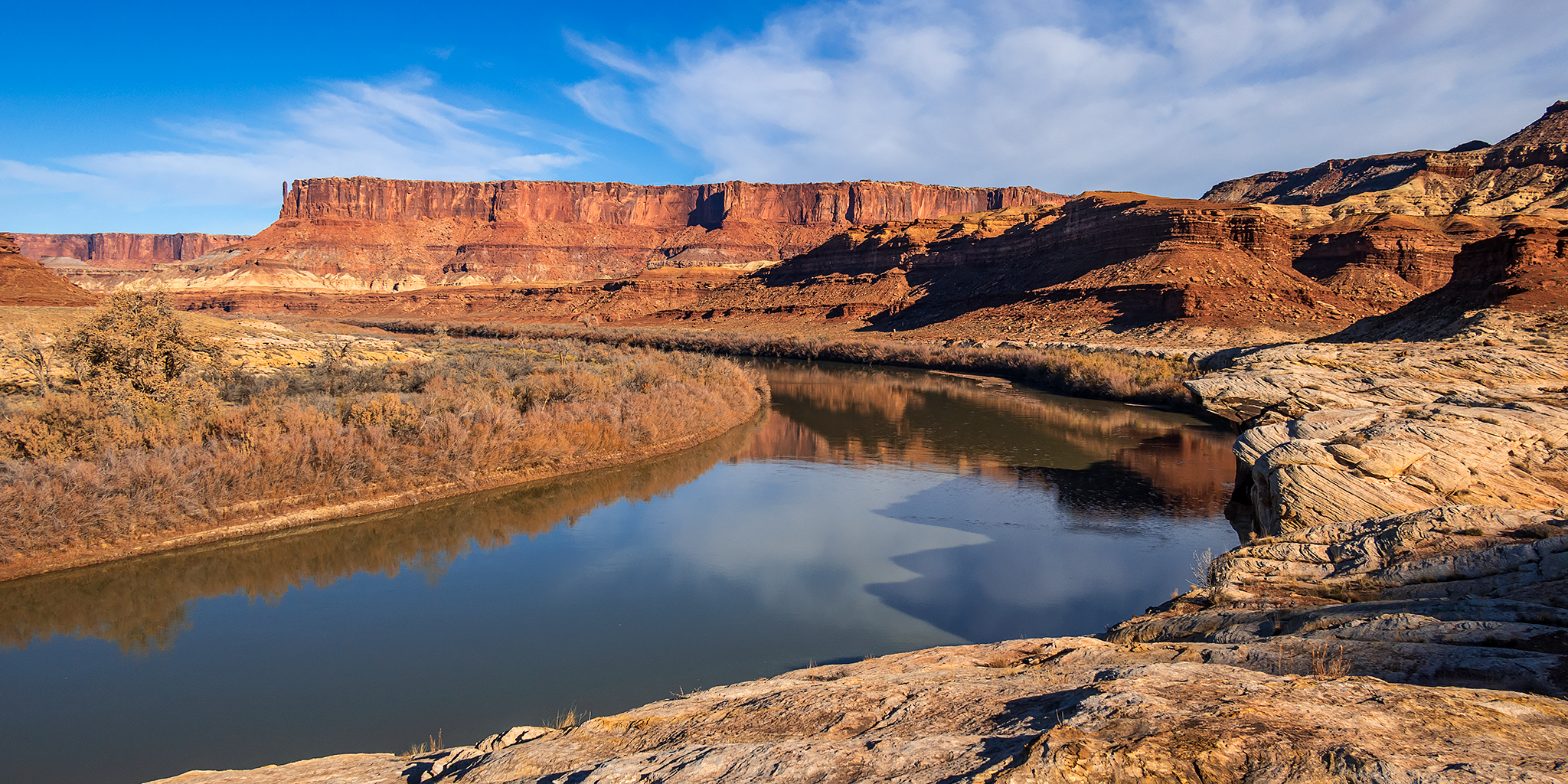
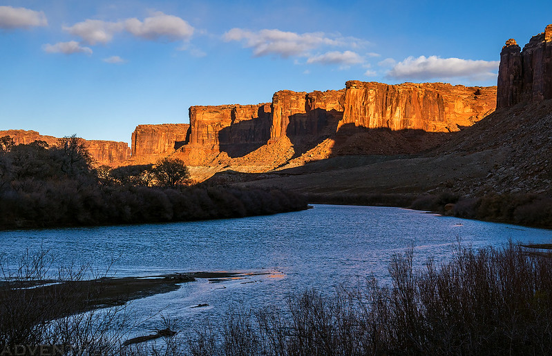
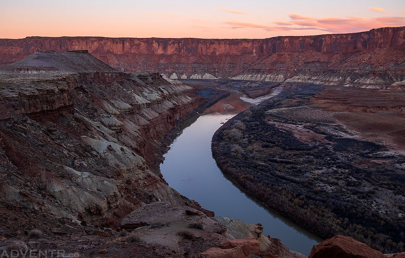
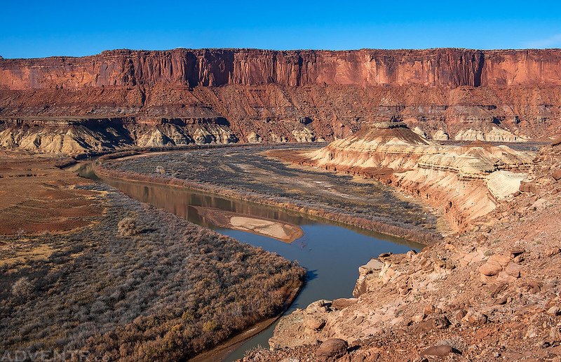
The Green River
The White Rim Road.
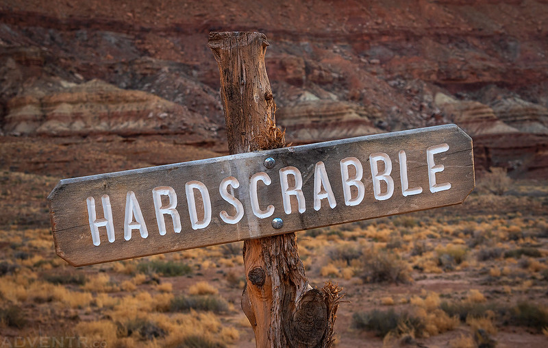
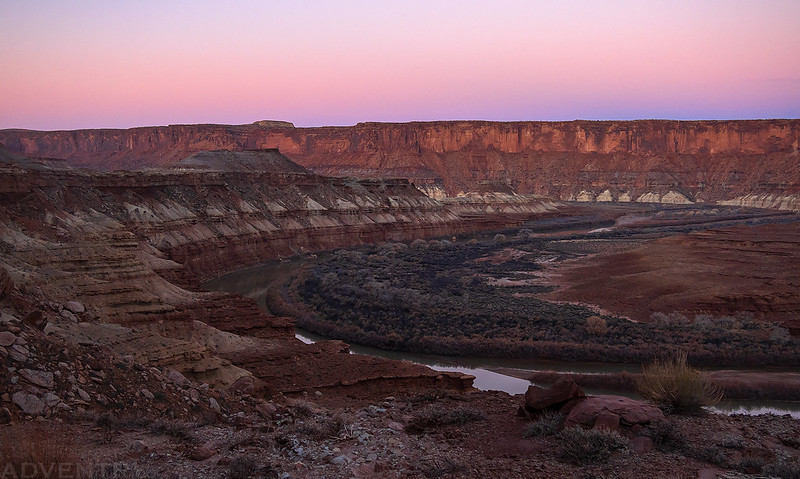
My first night was at Hardscrabble B and I arrived shortly before sunset.
The view from Hardscrabble Bottom. It was windy and cold this evening, but the wind did die down after sunset.
I was up before sunrise on Saturday morning and quickly made my way up and over Hardscrabble Hill so I could watch the sunrise while I was up there. This section of the road seemed to be in better shape than it was last year.
A view over to Fort Bottom from the road.
Looking over the campsites at Hardscrabble Bottom.
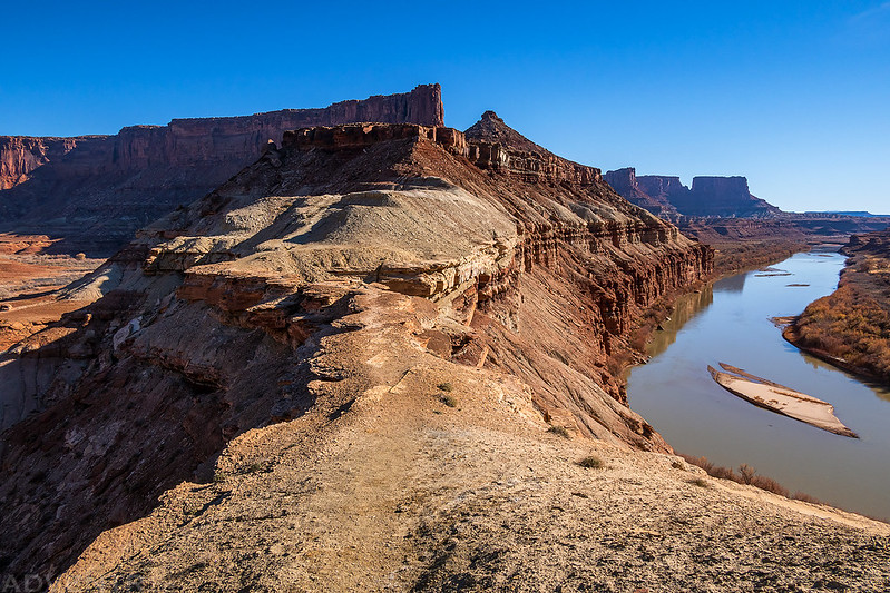
Hardscrabble Hill Morning
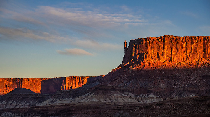
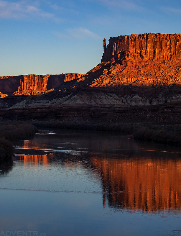
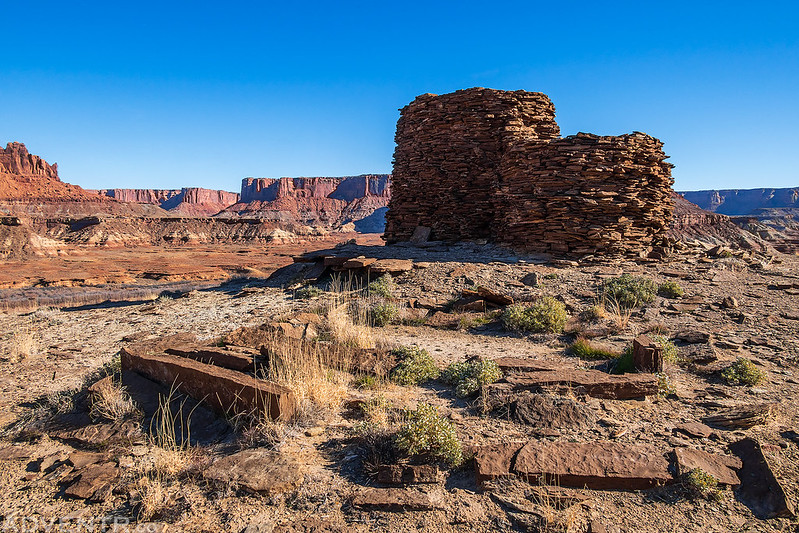
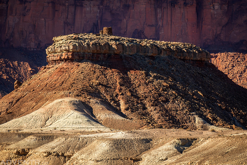
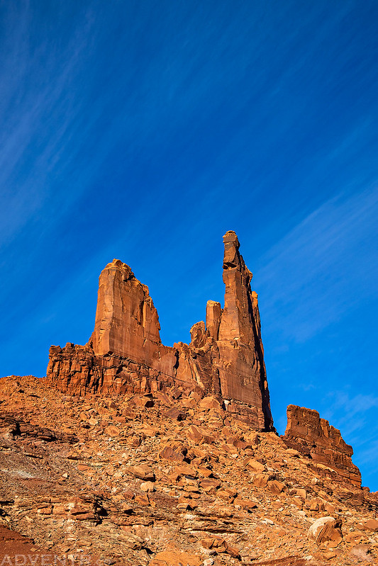
Hardscrabble Tower
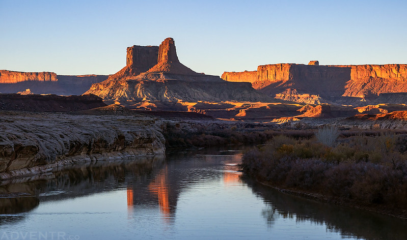
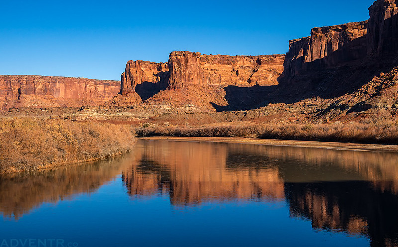
Buttes of the Cross Reflection
Tower Reflection
Green River Morning
When I reached the old closed road that goes down to Queen Anne Bottom, I parked the Jeep and hiked down the old road to explore a bit. It was a cold 21 degrees out along the river when I started hiking.
Queen Anne Bottom was pretty overgrown, but I still walked along most of the edge where the sandstone meets the bottom, but I didn’t find anything too interesting. It was cool to look across the river and see the mouth of Millard Canyon, which reminded me of the time Diane and I spent a nice evening at the campsite there.
After returning to my Jeep I drove back up the road a little way and hiked down to Beaver Bottom.
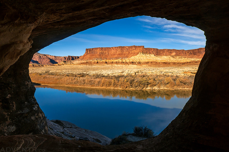
As I neared the end of the bottom I found this nice little arch.
Window View
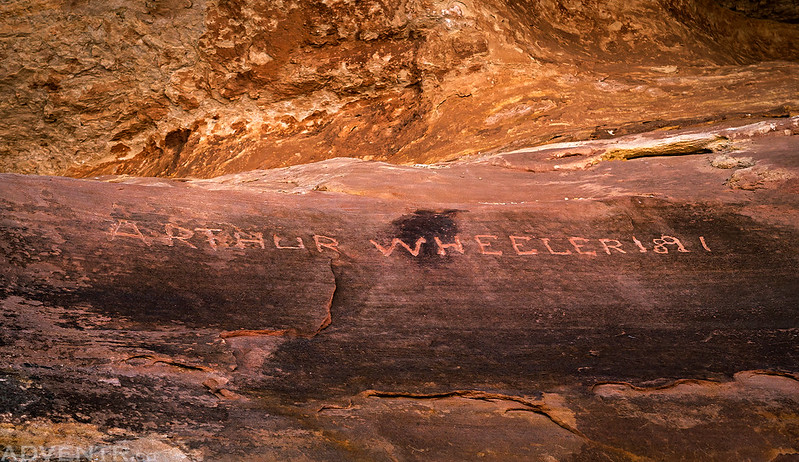
On my way back I spotted this inscription from Arthur Wheeler in 1891.
Colorful Cove
There were a couple more inscriptions nearby from the Allred’s in the 1920’s.
The Green River & Potato Bottom
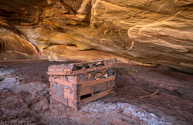
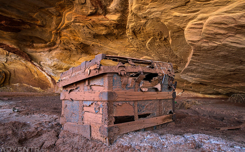
I stopped to revisit this old trunk hidden in a shallow alcove.
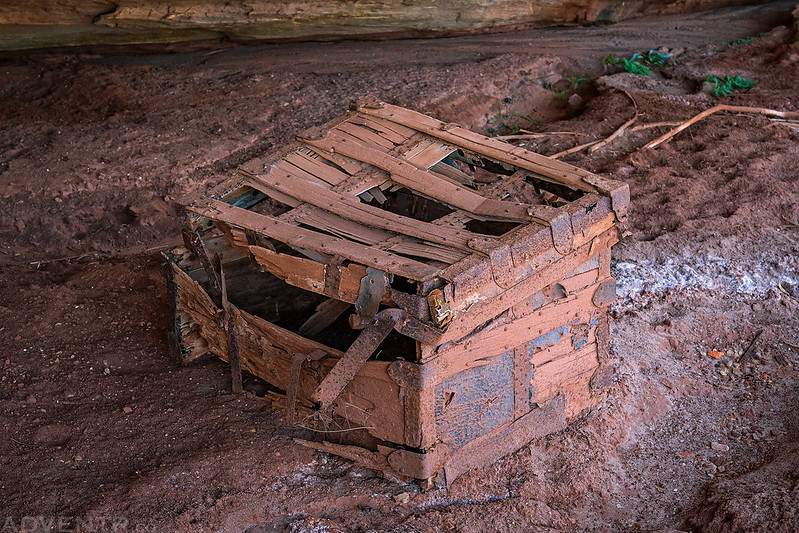
The story is that this trunk was brought to this alcove, which was a cowboy camp at the time, by Art Murray in about 1931 to store groceries and other things in. It’s been sitting here ever since!
A look at the other side of the trunk.
Next I made my way back up Hardscrabble Hill to the Fort Bottom Trail so I could hike down to the Walker Cabin. While hiking down the trail I passed the only person I would encounter all weekend- a National Park Service Ranger.
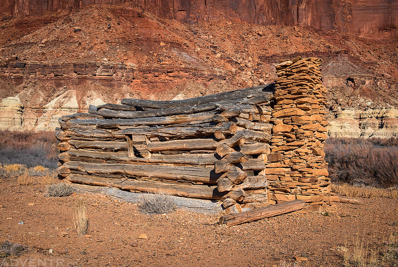
At the end of the trail I reached the Walker Cabin.
The Fireplace
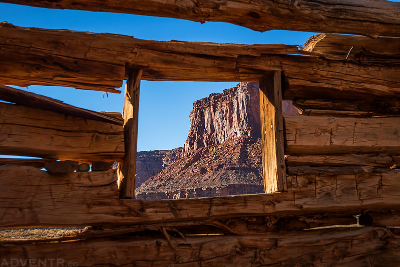
Cabin Window View
Mark Walker Cabin
I did a little more exploring and found a couple small granaries that really blended in well.
This old trough was under a small overhang.
Before heading back to my Jeep I decided to climb up to the Fort Bottom Ruins on top of the small mesa.
Looking back toward the ruins as I hiked back up the trail.
Fort Bottom Trail
I drove back to Upheaval Bottom and then started up Taylor Canyon.
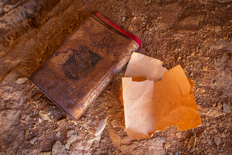
I went on a hike up a side canyon and found an old miner’s shelter that had this tobacco tin and mining claim in a jar.
Mining Claim Papers
An interesting warning on the side of the tobacco tin.
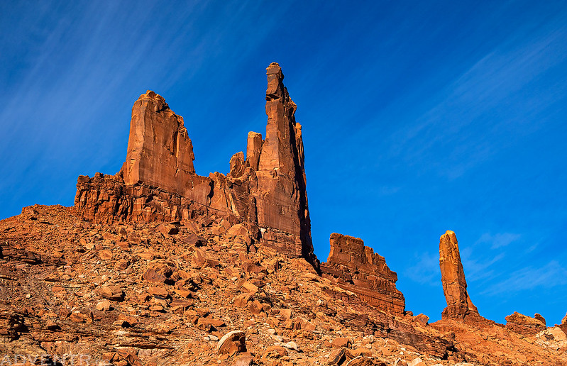
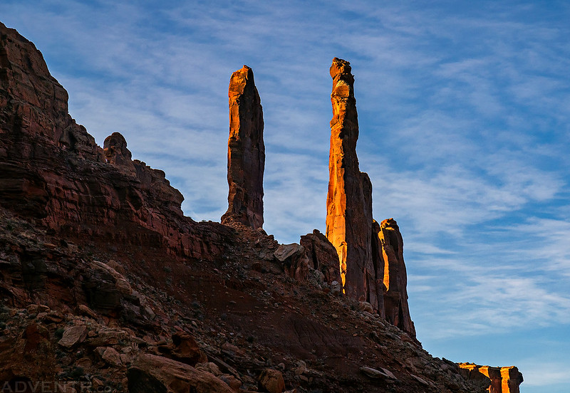
Before settling into camp for the night, I went for a late evening hike around Moses & Zeus. I liked the streaked look of the clouds.
A closer look at Moses.
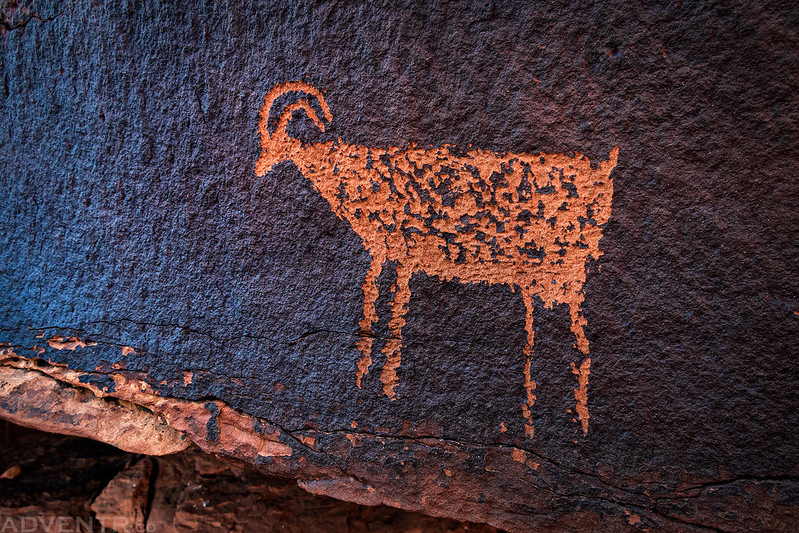
This is the only petroglyph I would see all weekend!
After my evening hike I returned to the Taylor Campsite, read and listened to a few podcasts for a while and then went to bed early. Now the only campsite along the White Rim Trail that I have not stayed at is Candlestick, so I guess I will have to plan a trip there sometime.
A few weeks ago while I was camped on the rim of Taylor Canyon I noticed that there was an old mining road that continued on past the trailhead, so I decided to hike up that old road this morning at sunrise. It was 22 degrees out when I started hiking, but at least the views along the way weren’t too bad…
Taylor Canyon Shadows
Moses and Zeus Morning
Towers in Silhouette (Left to right: Aphrodite, Zeus, Moses and the Thracian Mare)
After my morning hike it was time to start heading out.
Morning reflections in Labyrinth Canyon.
Before driving back up the Mineral Bottom switchbacks I decided to go for a short scenic drive up Mineral Canyon.
