McInnis Canyons National Conservation Area
Friday, April 17, 2020
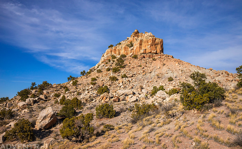
This evening after work I drove up to the Visitor Center in the Colorado National Monument so I could try to hike to the top of a distinctive high point located above Kodels Canyon. I’ve looked upon this prominent sandstone outcrop many times as I have driven west on I-70 through Fruita and always wondered if it would be possible for me to climb to the top of it. This point sits on a narrow strip of land within the McInnis Canyons National Conservation Area that is sandwiched between the Colorado National Monument and the Black Ridge Canyons Wilderness. Since this prominent butte is located right above Kodels Canyon, I have come to refer to it as Kodels Point, as it does not have an official name on any map that I have seen. Today was the day I was finally going to see if I could find a break in the cliffs and scramble to the top of the point, but to be honest, I knew that chances were going to be slim and that I would be perfectly happy just walking around the base of it and taking in the views while I was up there!
After arriving at the Visitor Center I began hiking up the Black Ridge Trail and then left the trail when I reached the top of the ridge.

I followed the edge of the rim on my way to Kodels Point.
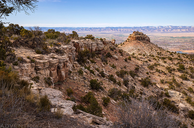
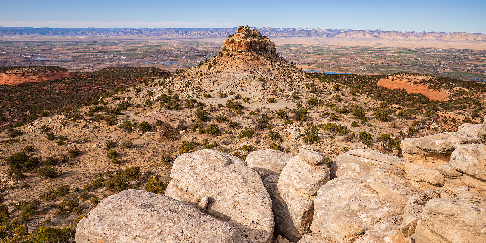
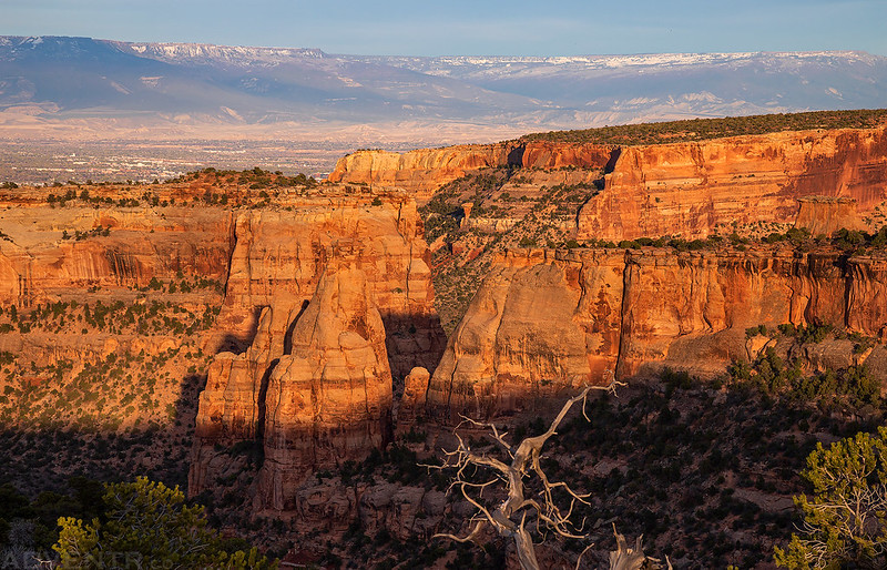
Kodels Point – straight ahead. My chances of climbing to the top were not looking good from here…
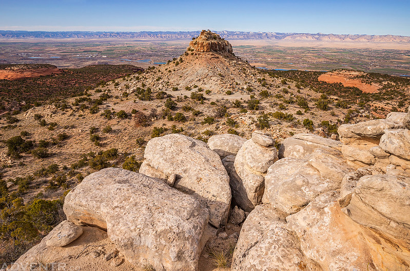
I climbed up to the base of the cliffs and started walking around.

As I walked around the base of the cliffs I found one spot that looked like I might be able to climb up, but it was certainly nothing I was willing to try alone.
At least the view over the Grand Valley was nice!

Overlooking Kodels Canyon below.

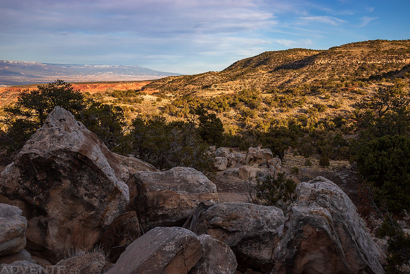
After leaving Kodels Point I headed over to visit another nearby high point that looked like it had a narrow ridge to traverse across to reach it.
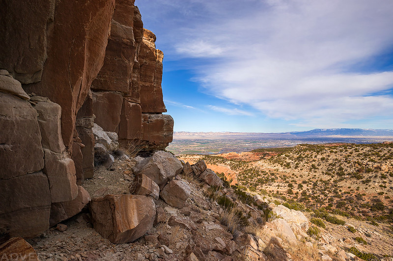
Although it was a bit hazy out this evening (most likely from open burn season), the views over Devils Canyon from up here were pretty nice.

Hazy Canyon View

This narrow land bridge that I had to hike across to reach the point reminded me of The Devils Causeway in the Flat Tops a little bit.

At first I was worried that I wasn’t going to be able to get across since there were a couple pretty narrow places, but I got low and scooted across the narrowest part and was able to make it.

Looking back across the narrow ridge I had just come across with Black Ridge in the background and the power lines that go to the antennas on top.

I was a little worried about being able to come back across the ridge, but it was easier for me on the way back.

I returned to the Black Ridge Trail and followed it back to the trailhead.
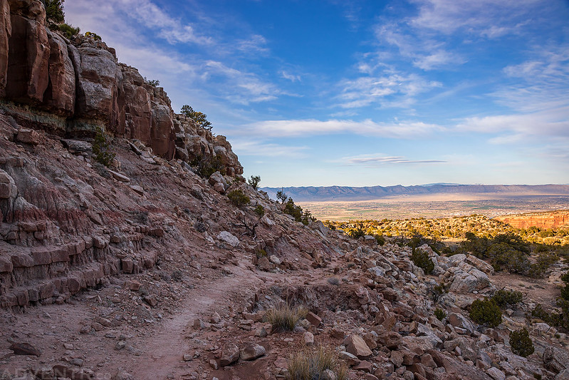
The foothills of the Black Ridge were looking nice in the late evening light.
Entering the Colorado National Monument again.

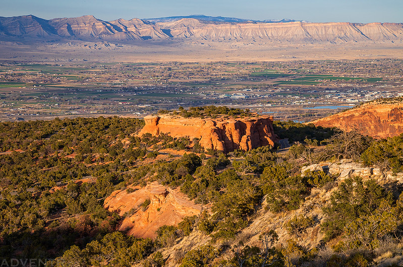
There was a nice view over Saddlehorn on the way back.
I liked this view of Mushroom Rock in the distance as I descended the last part of the trail before sunset.
I’ve always heard these two high points referred to as The King and The Queen (second one has the bridge leading to it) and also that that is how Kingsview Road coming off of Hwy 340 got its name.
Thanks for the info Steve! Never heard that before.