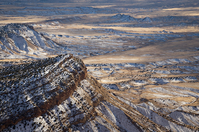
Sunday, November 20, 2016
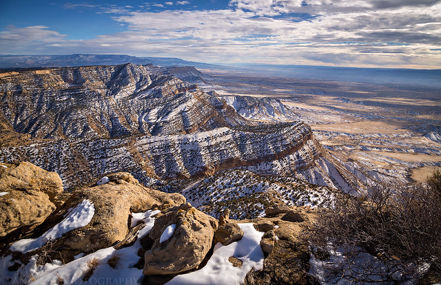
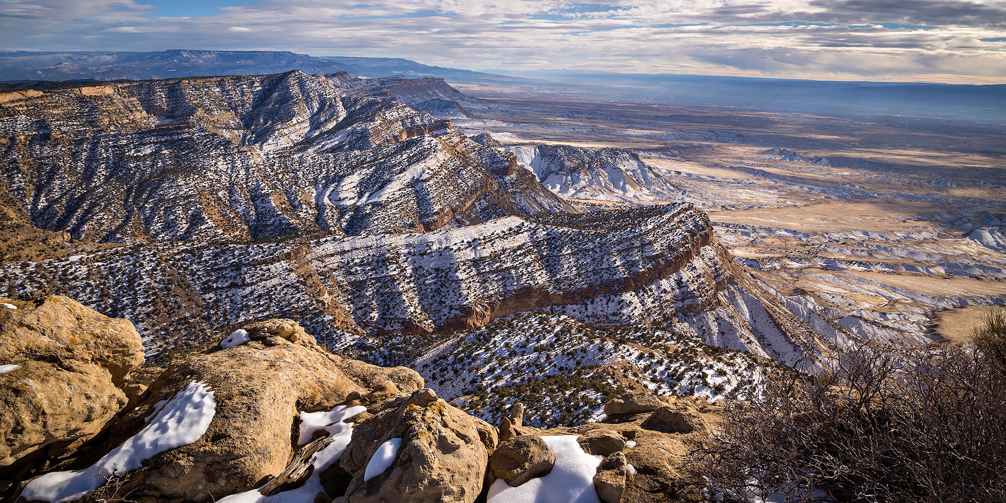
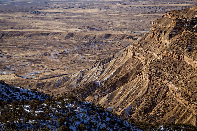
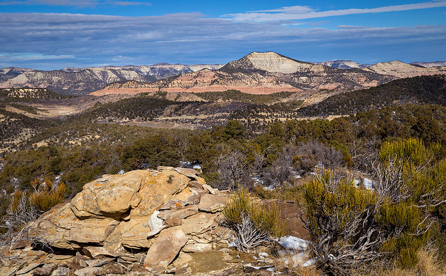
The view over the Little Book Cliffs to the Grand Mesa from the summit of PT 7412.
This afternoon I headed back into the Book Cliffs to hike to the summit of an unnamed peak above the Grand Valley. I’ve been trying to spend more time in the Book Cliffs this year (Mount Lincoln, Main Canyon, Tellerico Trail) and wanted to try and get back there one last time before the winter weather really sets in for the season. While the trail I hiked is most commonly referred to as the North Soda Trail (it eventually connects to the North Soda Road on top), I’m going to refer to it as the Adobe Creek Trail since it follows the creek for over a mile and then stays completely in the Adobe Creek drainage as it climbs to the top of the mesa.
I was a little worried that the roads might have been slick and muddy after the recent snow, but was happy to find that all the roads I needed to take to the trailhead where mostly dry. The trail, on the other hand, was wet and muddy with plenty of snow as I climbed higher. I’m glad I brought my microspikes with me as they came in handy for the steeper sections of the trail near the top. Here are a few photos from my hike to the summit.
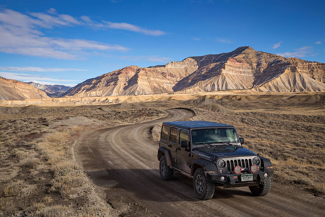
Driving through the desert at the base of the Book Cliffs. I’m glad the roads weren’t muddy!
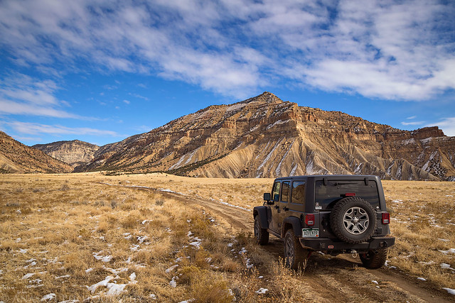
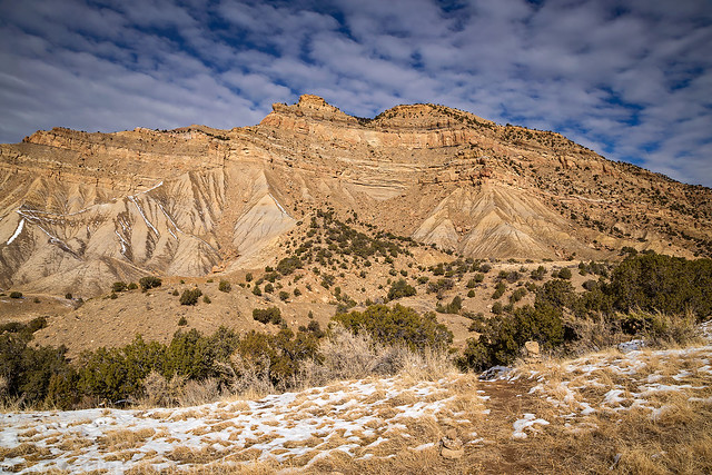
The final stretch of road to the trailhead along Adobe Creek. Adobe Creek Canyon is on the left with PT 7412 towering above my Jeep.
I liked the clouds this afternoon. The sky was overcast in the morning but started to clear up during my drive.
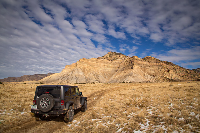
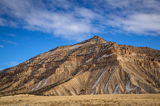
A closer look at PT 7412, my destination for the day.
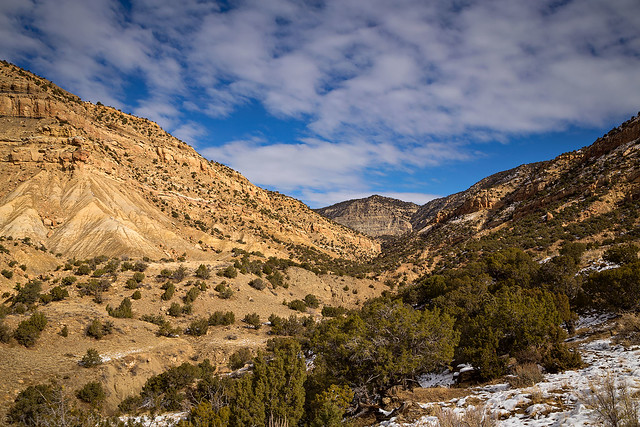
A view up Adobe Creek from near the trailhead.
This is the trailhead for the hike. Keep a lookout for the cairns hidden in the grass along the road.
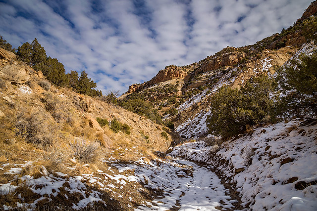
There was plenty of snow on the ground for the entire hike.
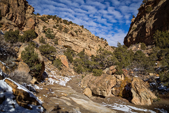
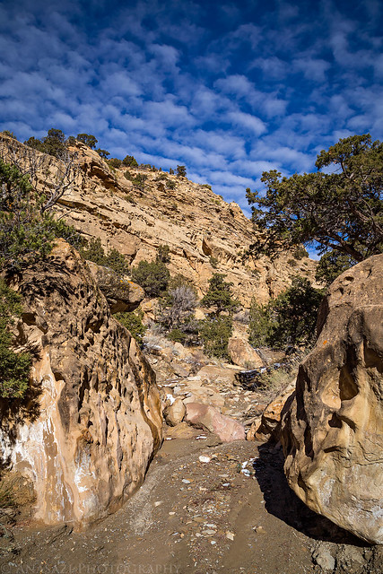
Part of the trail follows the bottom of the wash.
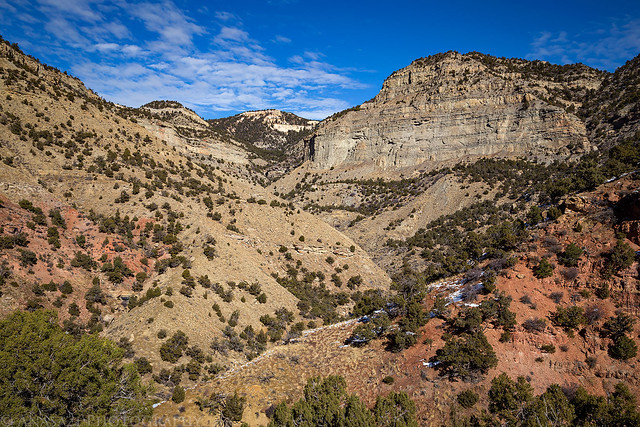
Looking into upper Adobe Creek as I started climbing the steep trail out of the wash to the top of the mesa.
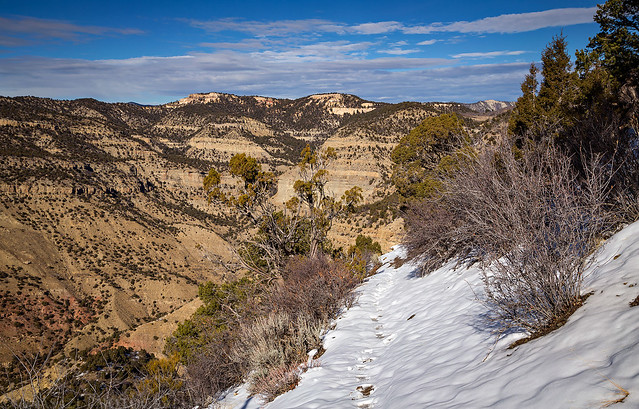
My footprints in the snow on the trail nearing the top.
Looking down at the mouth of the canyon where I started.
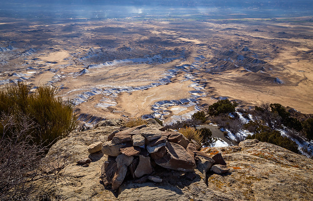
View over the cairn on the summit. There was a lot of open burning in the valley today.
The view north to Corcoran Peak (8,076). I had hoped to climb that one this year, but it looks like it’s going to have to wait until next year now.
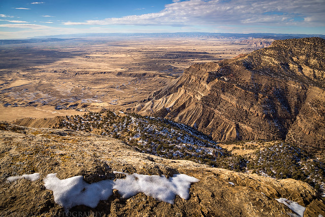
View from the summit to the west.
Snow in the desert below.
Below is a map and GPS track from my hike so you can check it out for yourself. I have also included a track that gets you to the trailhead from 21 Road since it’s a little tricky to find. The last mile is a little rough and probably requires a vehicle with some clearance.
