Southern Utah Wanderings 2015
Saturday, October 3, 2015
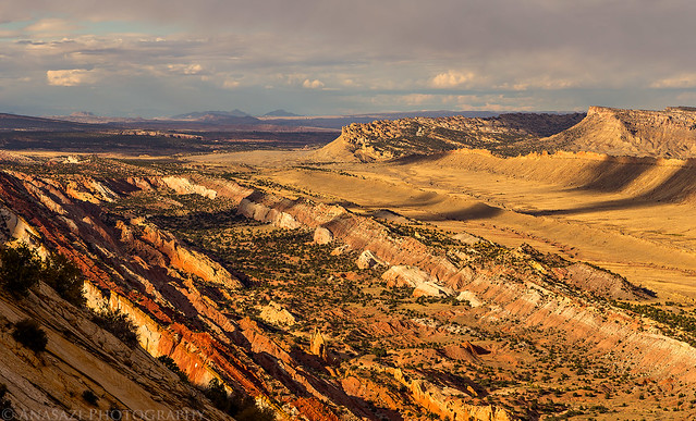
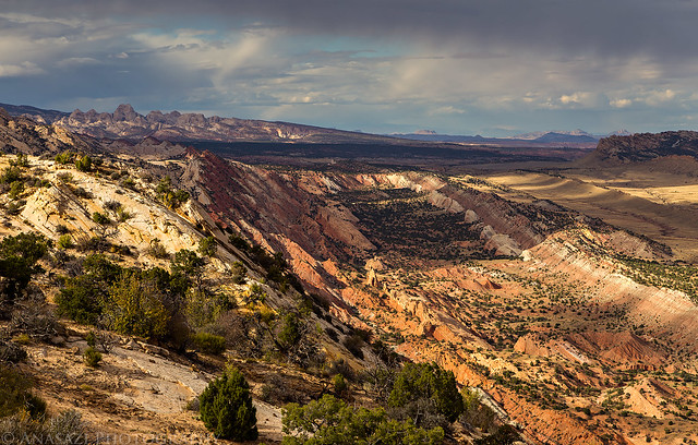
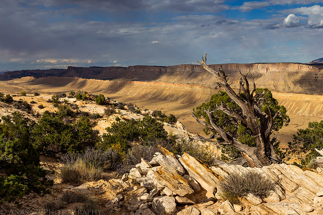
An evening view over Grand Gulch from the top of the Waterpocket Fold in Capitol Reef.
I left work an noon on Friday to start my annual week-long October trip into southern Utah by driving north to Salt Lake City so I could watch The Family Ruin, one of my favorite bands, play a show at Area 51. I’ve wanted to see this band live for a while and I wasn’t disappointed! After the concert I drove over to Jared’s house where I would be spending the night.
On Saturday morning we slept in a little since I was up late for the concert and then started the drive south. We didn’t really have any plans for the trip at this point, but I thought that the Capitol Reef National Park area would be a good starting point, so we headed that direction. After a few hours of driving we stopped for lunch at Slackers in Torrey before finishing the drive into the park. There were a lot of people around Fruita, so we continued to the Notom Road and followed it south along the Waterpocket Fold to the Cedar Mesa Campground. We setup camp in an open site and then made our way up the Burr Trail to the Upper Muley Twist Canyon trailhead. While we have both been to the Strike Valley Overlook before, neither of us had ever been up Upper Muley Twist Canyon so we decided to hike it this evening. We were getting a late start so we had no plans on finishing the loop, but we hoped to see as much of it as we could.
View down Burr Canyon from the Burr Trail.
The top of the Burr Trail overlooking Swap Canyon and the Henry Mountains.
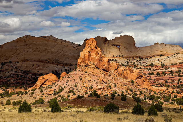
Light and shadows below Peek-a-boo Arch.
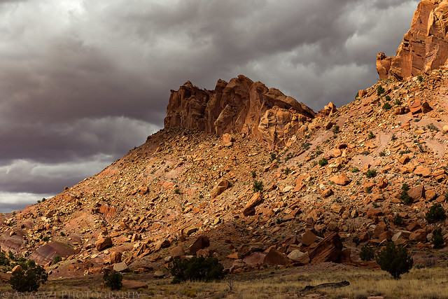
There were dark clouds to the north, but the sky to the south was mostly clear.
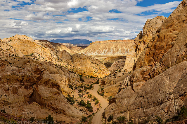
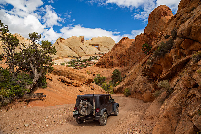
Driving up the canyon to the trailhead.
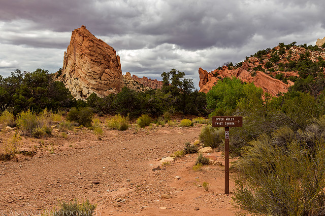
Leaving the trailhead and starting the hike up the canyon.
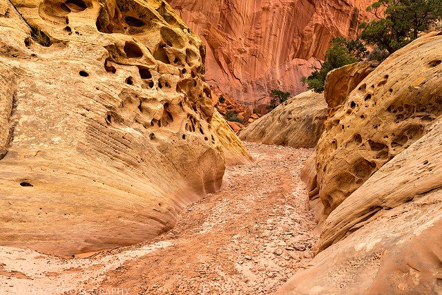
A short section where the canyon narrows a little bit.
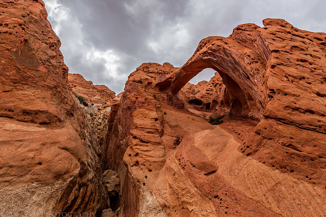
We saw a few arches along the way, but Saddle Arch was the most impressive to me.
Once we reached Saddle Arch we also reached a split in the trail. The left trail stayed in the canyon and continued upstream while the right trail (Rim Route) climbed up to the top of the Waterpocket Fold. Since we knew we probably wouldn’t have time to finish the complete loop we followed the Rim Route so we could take in the views from the top.
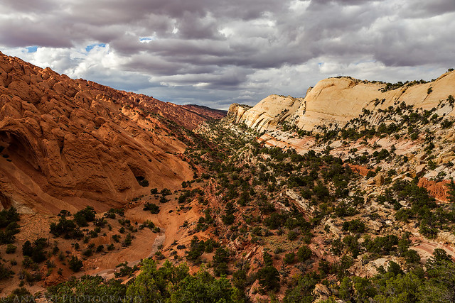
View over Upper Muley Twist Canyon as we climbed to the top of the Waterpocket Fold.
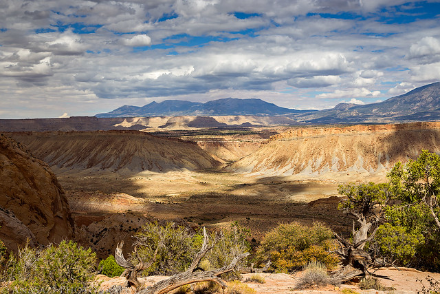
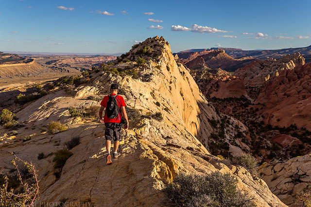
There were great views from the top and we both enjoyed the hiking up here.
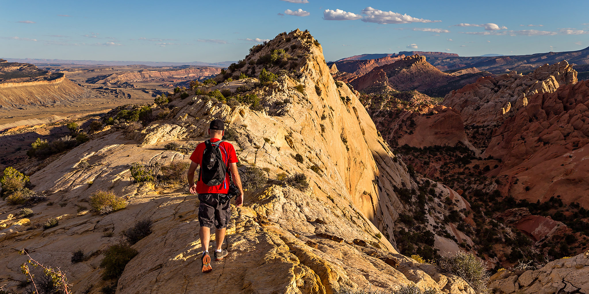
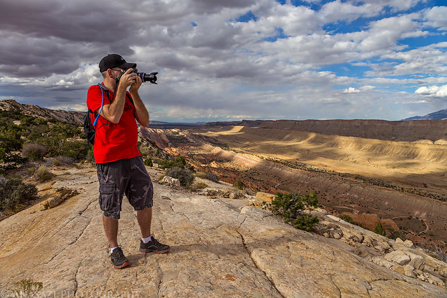
Jared takes a few photos from the first overlook area we reached after climbing to the top.
A panorama I took with my iPhone. Click on the image for a larger view.
The clouds and spot-lighting made for some great scenes.
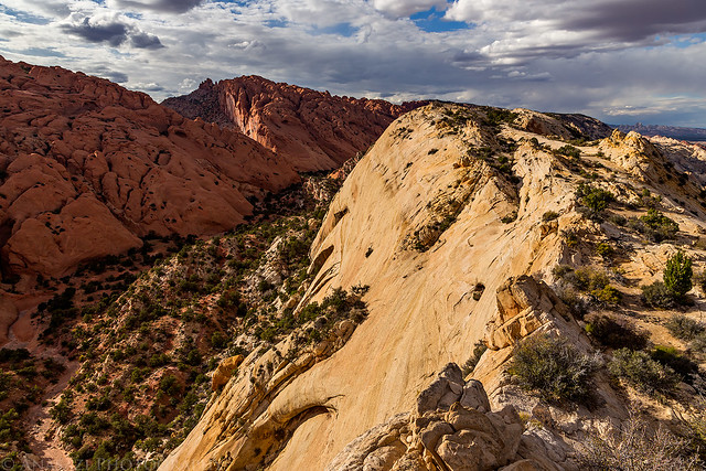
Hiking along the crest of the Waterpocket Fold with Upper Muley Twist Canyon below on the left.
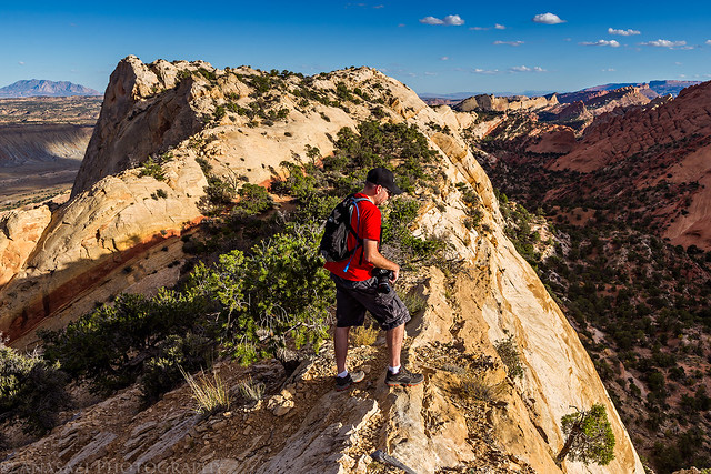
Looking over the edge.
After hiking a ways it started to get late and we had to turn around and hike back the way we had come.
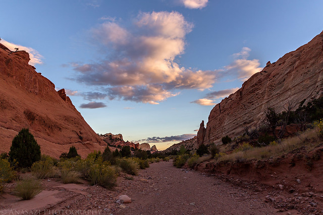
Hiking back down Upper Muley Twist Canyon to the trailhead as the sun sets.
After returning to my Jeep at the trailhead we drove back down the Burr Trail to the Cedar Mesa Campground in the dark. I was pretty tired from the lack of sleep the previous night and all the driving and hiking we had done today so I went right to bed. I fell asleep right away and only woke up during the night when it started to rain lightly, but it was not raining hard enough for me to close the door on the tent.

Another great one!