Saturday, November 17, 2012
On Saturday morning I was up and driving towards the Abajo Mountains well before the sun was ready to come up. My destination for the day was Fable Valley. I wanted to squeeze in a quick dayhike before snow would make the roads impassable and I wouldn’t be able to return until the spring. I had heard there was a specific pictograph panel I’ve been searching for hidden in the canyon and I hoped to find it this year.
There were some clouds and storms in the area as the sun came up. I happened to be driving in Indian Creek Canyon at the time and stopped to take a few photos.
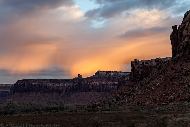
Morning Storm by IntrepidXJ, on Flickr
Great spotlighting.

Bridger Jack Spotlight by IntrepidXJ, on Flickr
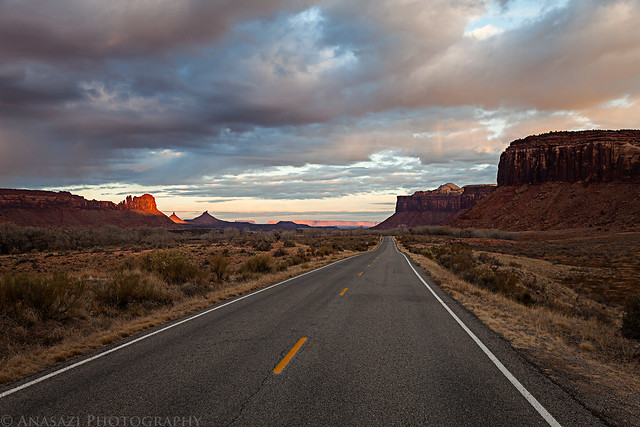
Indian Creek Canyon Road by IntrepidXJ, on Flickr
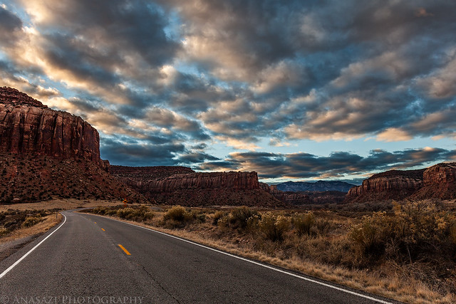
Nice Clouds by IntrepidXJ, on Flickr
Still some nice light as I started up Cottonwood Canyon.
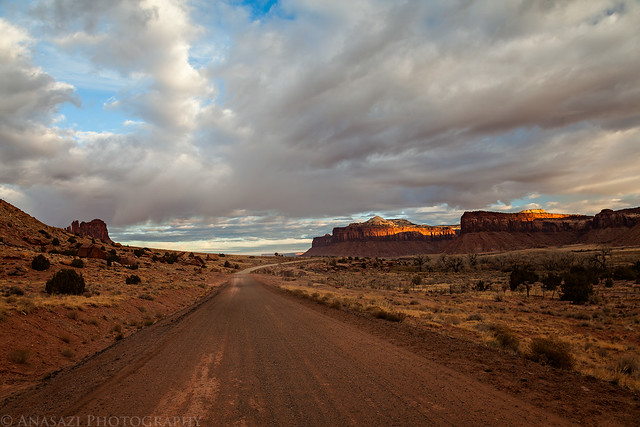
Cottonwood Canyon Road by IntrepidXJ, on Flickr
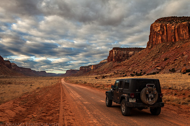
Cottonwood Canyon by IntrepidXJ, on Flickr
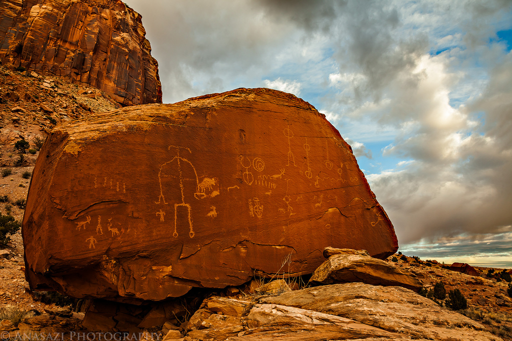
I made a quick stop at this boulder containing some Ute petroglyphs. The last time I was here the light was terrible. This stop made up for it.
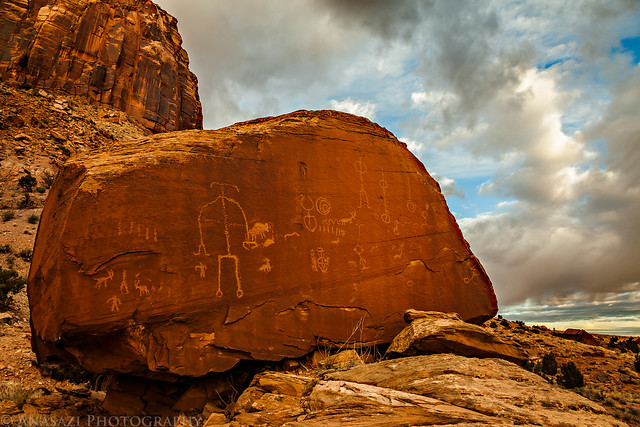
Ute Boulder Sunrise by IntrepidXJ, on Flickr
Rain or snow in the distance as I drove around the head of Salt Creek Canyon. I hoped these storms would stay away from the roads I was on, since things can get slippery very quickly.
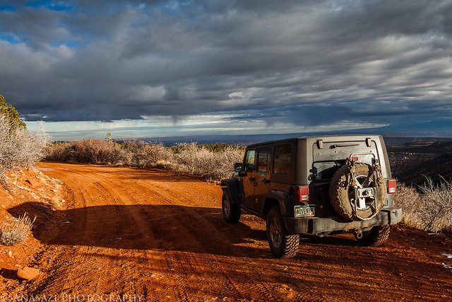
Morning Storms by IntrepidXJ, on Flickr
Soon I was driving down a seldom used two-track on my way to the trailhead.
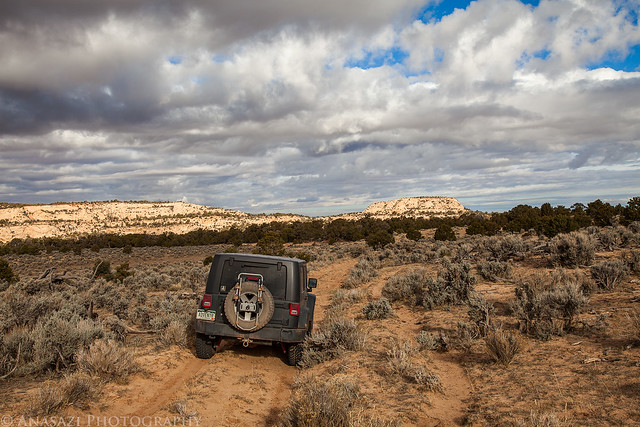
Sandy Two-Track by IntrepidXJ, on Flickr
Looking at my maps beforehand, I wasn’t sure if this section of the road was going to be open or if I would have to start hiking from here. The sign answered that question for me, though it didn’t appear that anyone had driven this way for quite a while. Of course I drove the last mile to where the road was closed, even if it was a little rough and washed out in places.
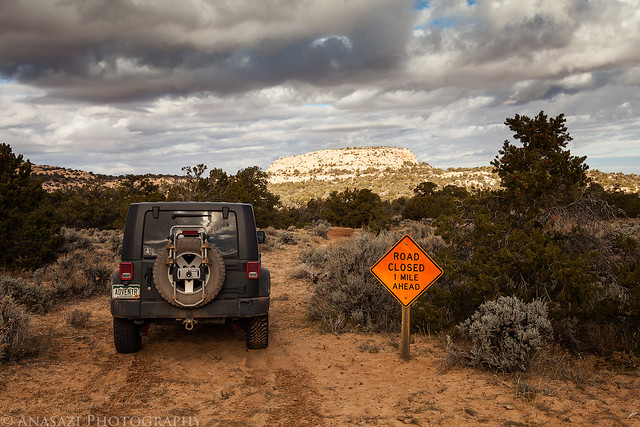
Road Closed by IntrepidXJ, on Flickr
Great views into a nice side-canyon as I hiked along the rim to eventually reach the bottom of Fable Valley.
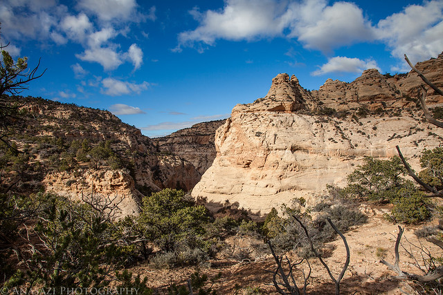
Canyon View by IntrepidXJ, on Flickr
Once in Fable Valley I hiked to the area where I thought the pictograph panel might be. I didn’t find the panel I was looking for there, but I did find some other rock art and ruins, including this interesting panel that has an outline of a person. That’s something I don’t recall seeing anywhere else before?
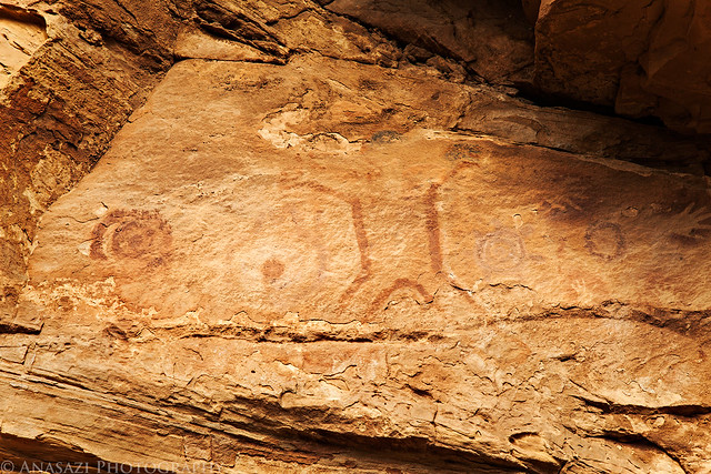
Outline by IntrepidXJ, on Flickr
There were also your typical concentric circles and reverse handprints.
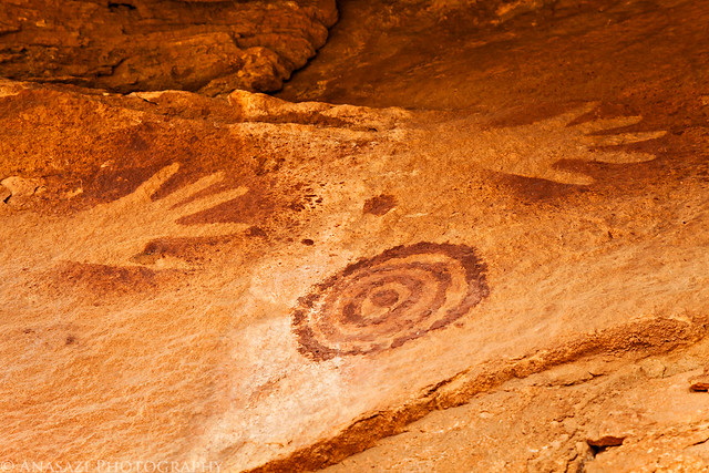
Circles & Hands by IntrepidXJ, on Flickr
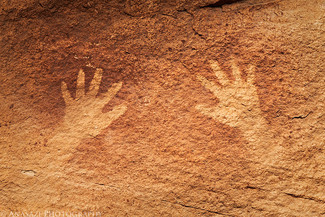
Two Hands by IntrepidXJ, on Flickr
I spotted this design high above in a small recess. I didn’t notice until I was working on this photo back at home that the design continued on the sandstone face to the left.
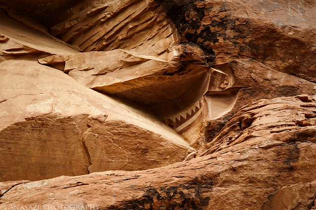
Hidden Design by IntrepidXJ, on Flickr
I hiked a little further until I spotted the Fortress Ruin high above. I wasn’t sure if I was going to be able to get up to it, but I managed to find the way.
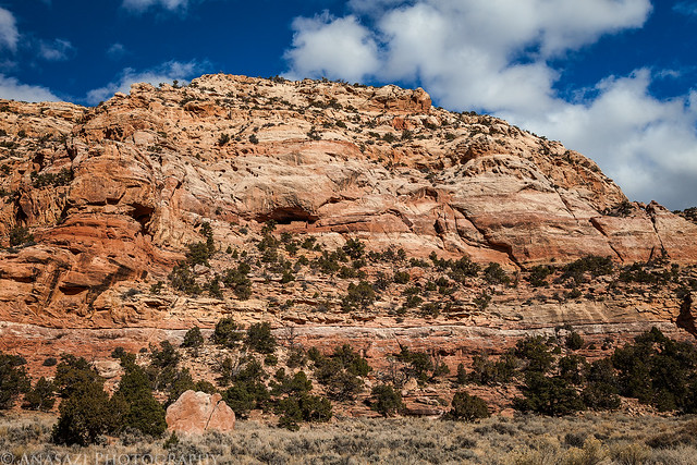
Fortress Ruin by IntrepidXJ, on Flickr
A closer look at the outer wall.
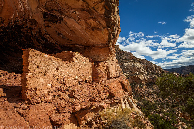
The Fortress by IntrepidXJ, on Flickr
There were a couple round rooms to the left of the main wall.
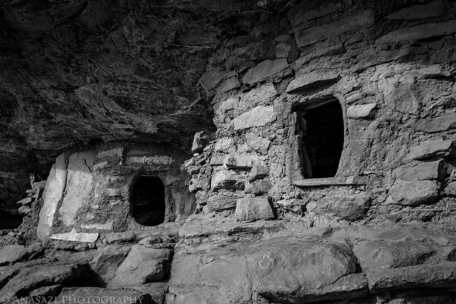
Ancient Openings by IntrepidXJ, on Flickr
A large rectangular room that was part of the outer wall had a nice T-shaped doorway.
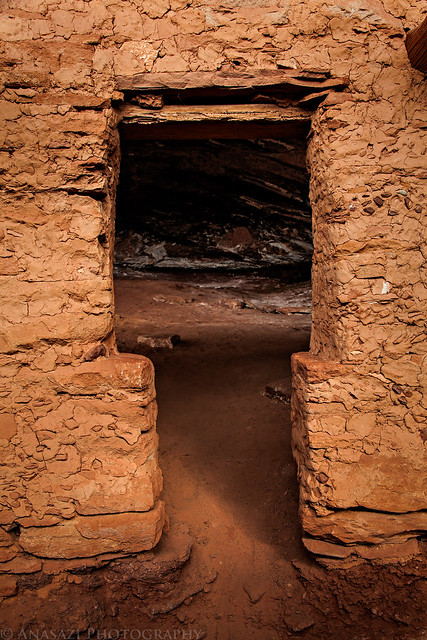
Doorway by IntrepidXJ, on Flickr
This rectangular room also had a few very large roof beams still intact, even though the roof was long gone.
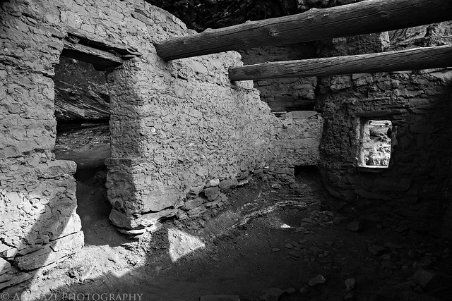
Fortress Doorway by IntrepidXJ, on Flickr
As I was exploring the ruins in this large alcove, I couldn’t help but notice a dripping sound coming from the back. When I went to investigate I found a small dripping spring next to a black reverse handprint. I see why this alcove was important to these people.
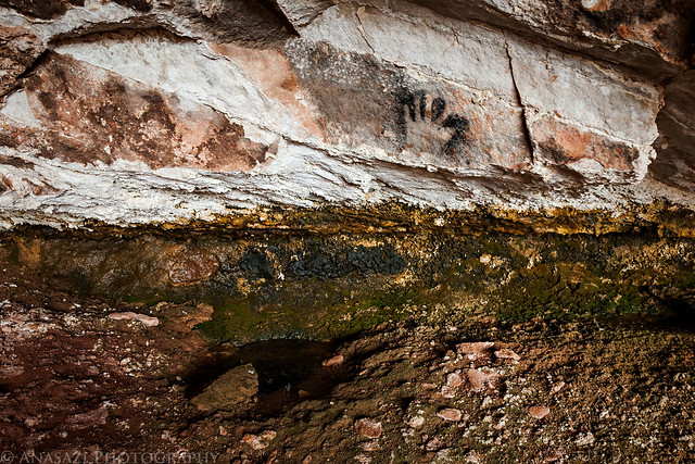
Water by IntrepidXJ, on Flickr
Before leaving The Fortress, I checked out a few other small ruins on the ledge nearby.
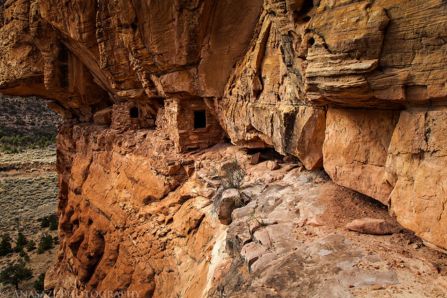
On the Ledge by IntrepidXJ, on Flickr
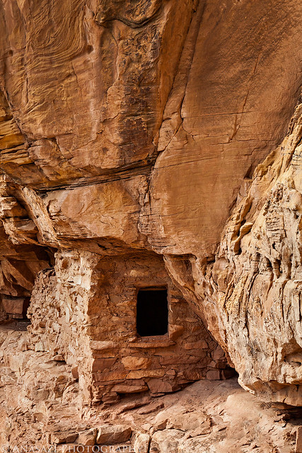
Ledge Room by IntrepidXJ, on Flickr
Unfortunately the days are short at this time of the year, so I needed to start thinking about hiking back out. I continued my search for the pictograph panel I was looking for on my way back, but didn’t end up finding it. I’m sure if I had a few more hours to explore I might have had better luck, so I guess I’ll be returning in the spring when the roads are open again. I’m thinking an overnight backpacking trip would be a good idea.
On my drive back out I was lucky enough that none of the little storms in the area dumped any snow or rain, but the warmer daytime temperatures had melted some snow that was in the shaded parts of the road and made things a bit muddy and slippery in places, so I had to drive back a little slower and more carefully than I would have liked. At least I was treated to some great spotlighting on my drive back.
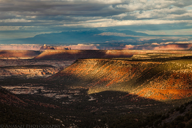
Canyonlands Spotlighting by IntrepidXJ, on Flickr
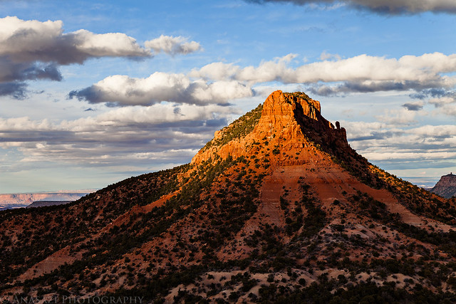
Cathedral Butte by IntrepidXJ, on Flickr
Ref your 2012 Fable Valley post: We hiked into fable valley to fortress ruin some time ago. We entered off of sweet alice road to a trailhead passed a brush corral and down an old cattle trail-all described by Kelsey. As we entered fable from south, fortress was across the canyon floor on a SW facing wall. On our left, on a SE facing wall looked to be at least one kiva. Day light ran out so we did not visit. We did visit a corral down canyon-north-and observed the pictograph you title “Hidden Design”, also a nice grannery east of the corral. From how your pictures are organized, I guess you turned off of sweet alice road on what one map calls Right Leg Rd and is marked 223. That road goes near wild cow spring and moki cave and enters fable valley from the east via a side canyon at about fable spring. Am I correct? Kelsey marks a spot as “bad road” just after the wild cow spring area and before moki cave area. Were you able to drive past this section? Love to hear from you. thanks!
Yes, I took the Right Leg Road. I was able to drive all the way to the Moqui Cave. The section that Kelsey marks as ‘bad road’ is where the county ends their maintenance on that road. There are a few steep rock ledges that you have to drive down if you want to keep driving past that point which would require a high clearance vehicle. After that section the road turns into a sandy two-rack. It was no problem for my Jeep, but I really don’t think you’d get a low clearance vehicle like a Subaru down that section without dragging the bottom pretty good.
Been to Beef Basin once and would like to visit Fable Valley. This information is very helpful.
Heading here this weekend! If I see a panel you don’t have photographed here I’ll be sure to let you know! Thanks for the great report, the photos should help make the hike a bit easier for us! Have a good long weekend!