Saturday, November 21, 2009
After our fun hike to The Citadel, Amanda and I headed back out Cigarette Springs Road, took a left on UT 261 and made our way down the Moki Dugway. We made a quick stop at Goosenecks State Park since we were in the area.
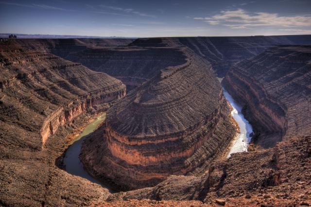
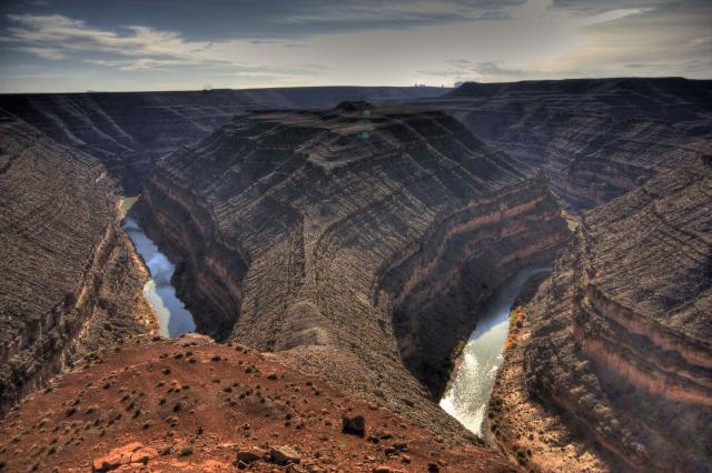
Then we made our way back towards Bluff. Before heading through Comb Ridge, I decided to take a right onto South Comb Wash Road. I have driven the sections of Comb Wash north of US 163 before, but I had never headed south towards the San Juan River before, and I wanted to see if there was anything cool along this route.
As I suspected, when I got near the San Juan River I came across some of the markers indicating this was part of the Hole in the Rock route.
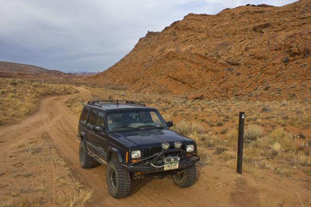
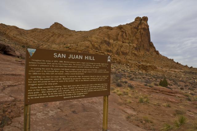
I followed the markers down a short spur until I reached San Juan Hill, where the road ended anyways.
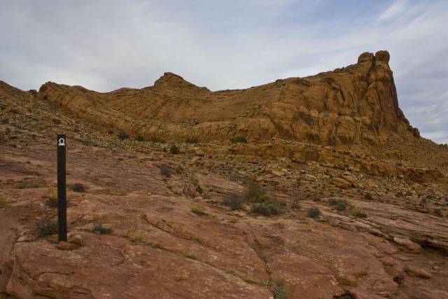
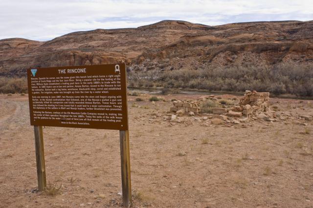
After heading back to the main road I passed by the remains of a trading post on The Rincone
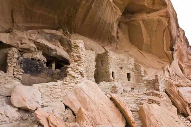
Just a little further up the road we came upon a large alcove that contained the River House Ruins. We spent some time checking out these ruins.
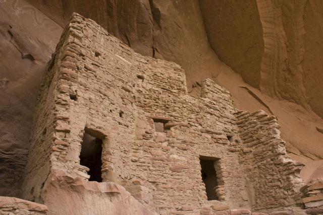
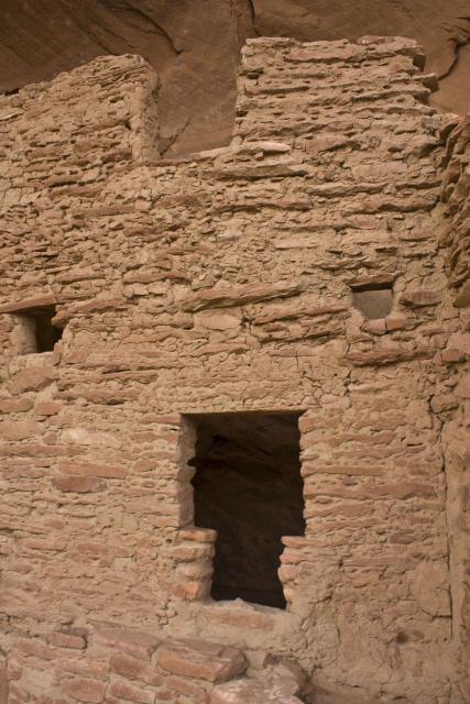
Some petroglyphs
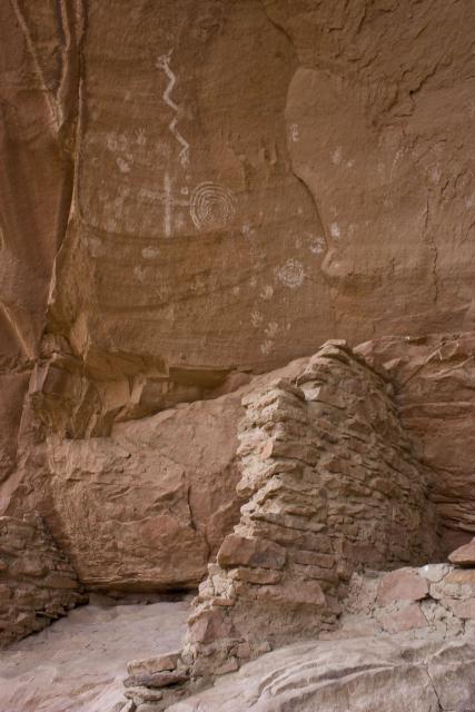
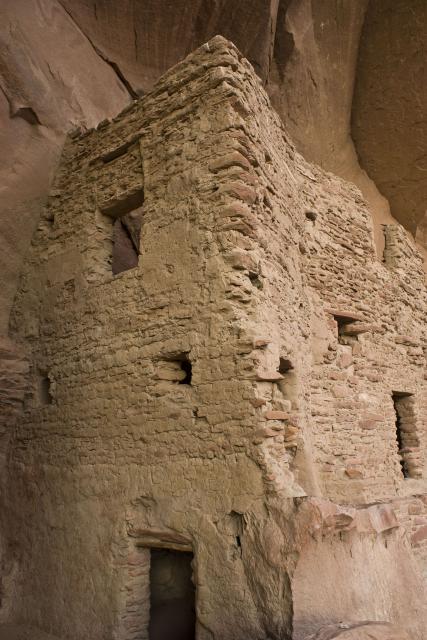
Above the ruins in this photo, you can see a large snake painted on the back of the alcove. Another name for these ruins are the Snake House Ruins.
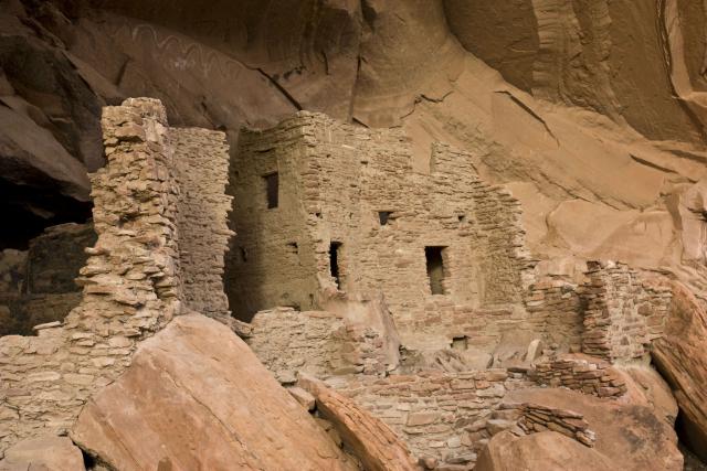
While we were checking out these ruins, we chatted up a Bluff local who was here at the same time and he told us about an interesting granary and some more petroglyphs along the ledge we were on a few hundred feet away, so we went to check them out before leaving.
Some of the petroglyphs

This definitely was an interesting granary….built around a fallen piece of rock that had naturally created a semi-enclosed area
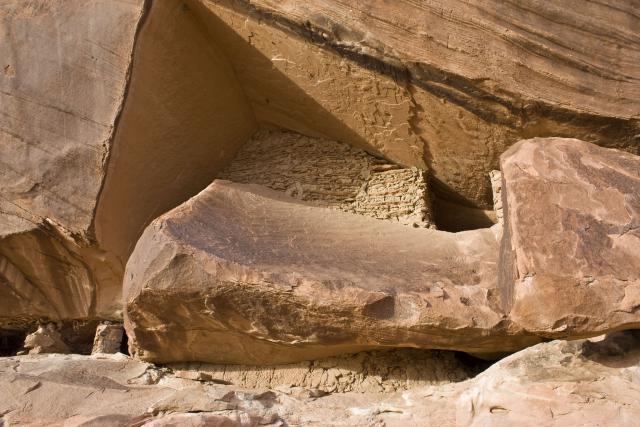
The entrance was hidden behind the fallen rock
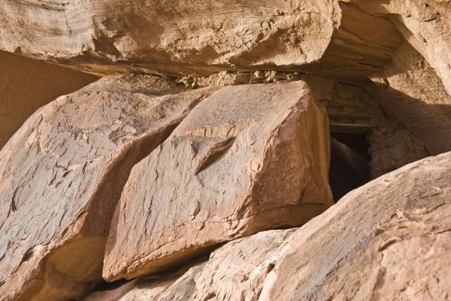
After heading back to the highway, we continued on towards Bluff, but made one more stop at the Sand Island Petroglyphs.
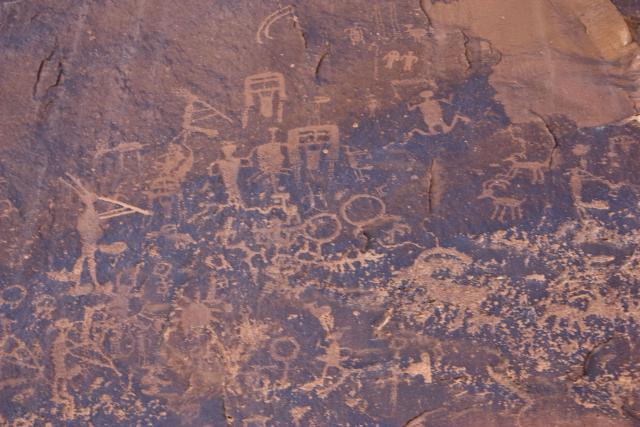
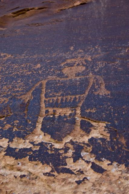
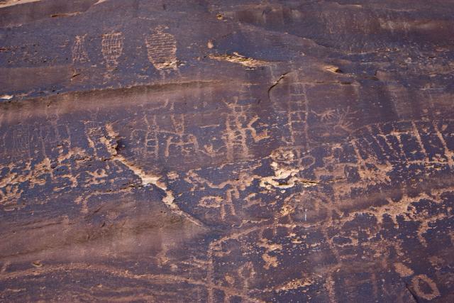
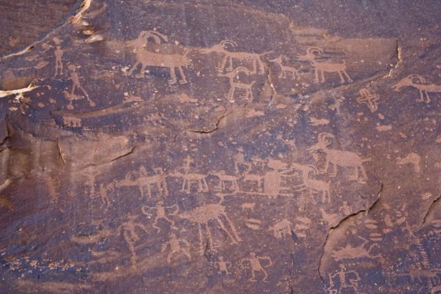
We finally reached Bluff just before sunset and then headed north to Blanding to end our day at the hotel after grabbing some dinner.
Stay tuned for Sunday….
