Press "Enter" to skip to content

Tag: moon

Exploring Desert Stone: Harts Draw to Indian Creek

Tracing the Historic Route of the 1859 Macomb Expedition, Part II
Friday – Sunday, October 27-29, 2023

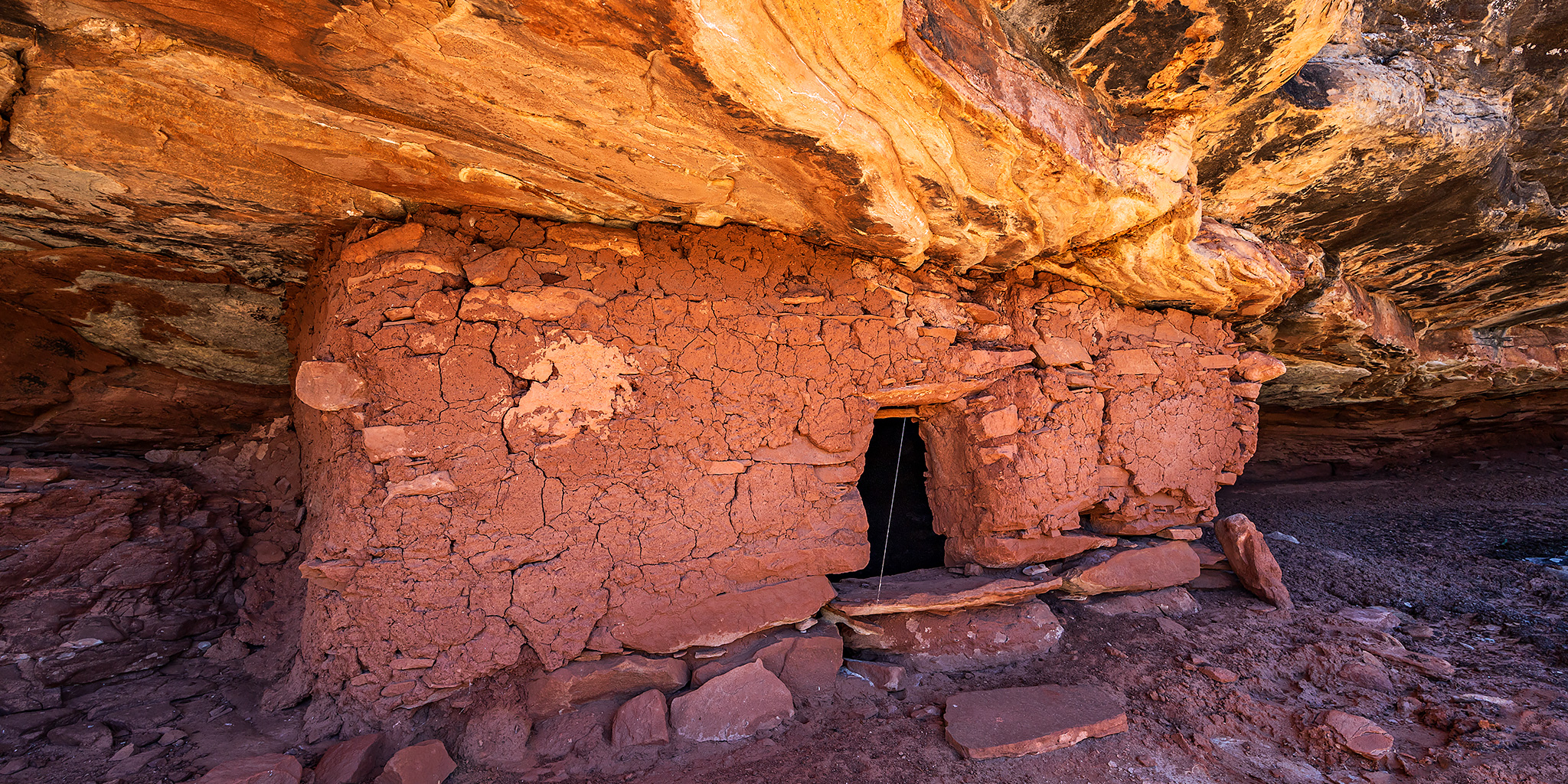
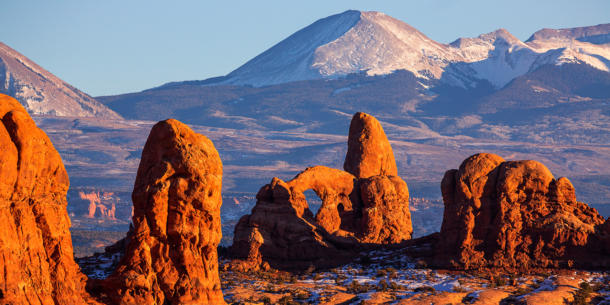
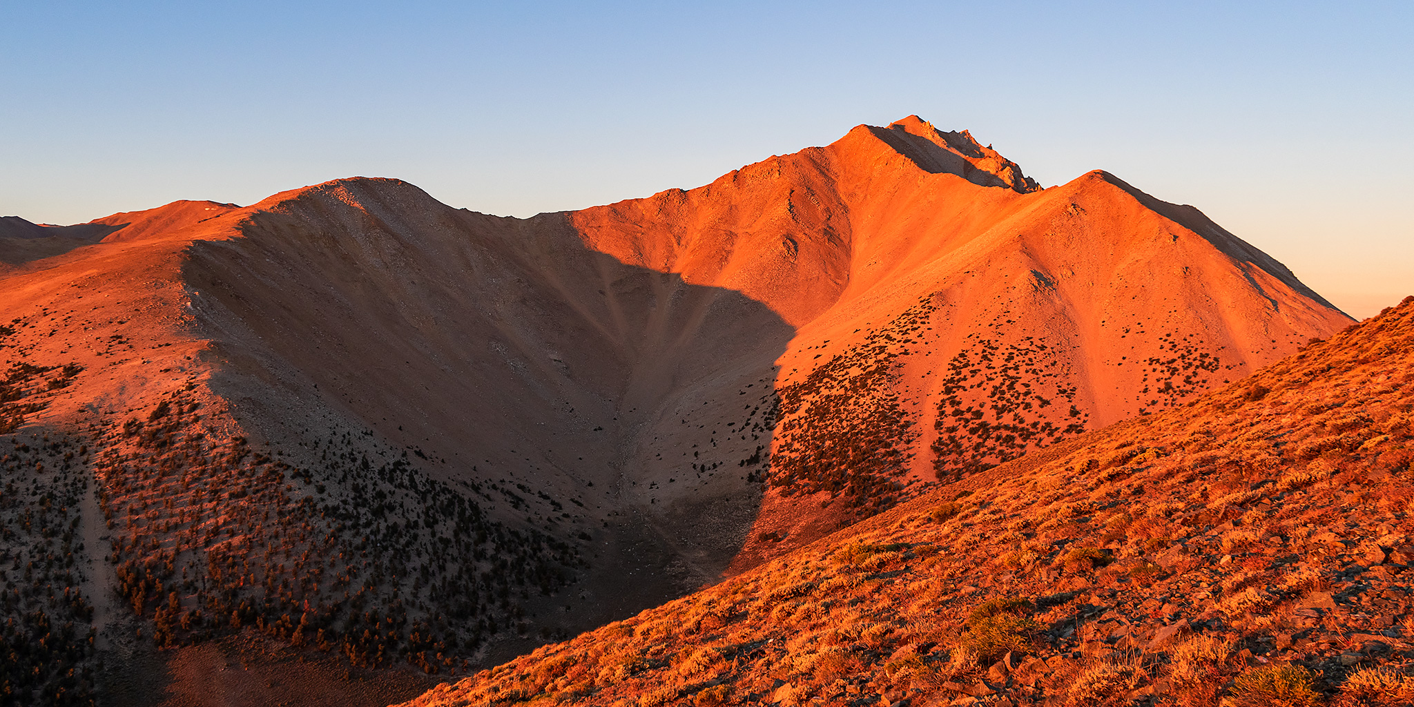
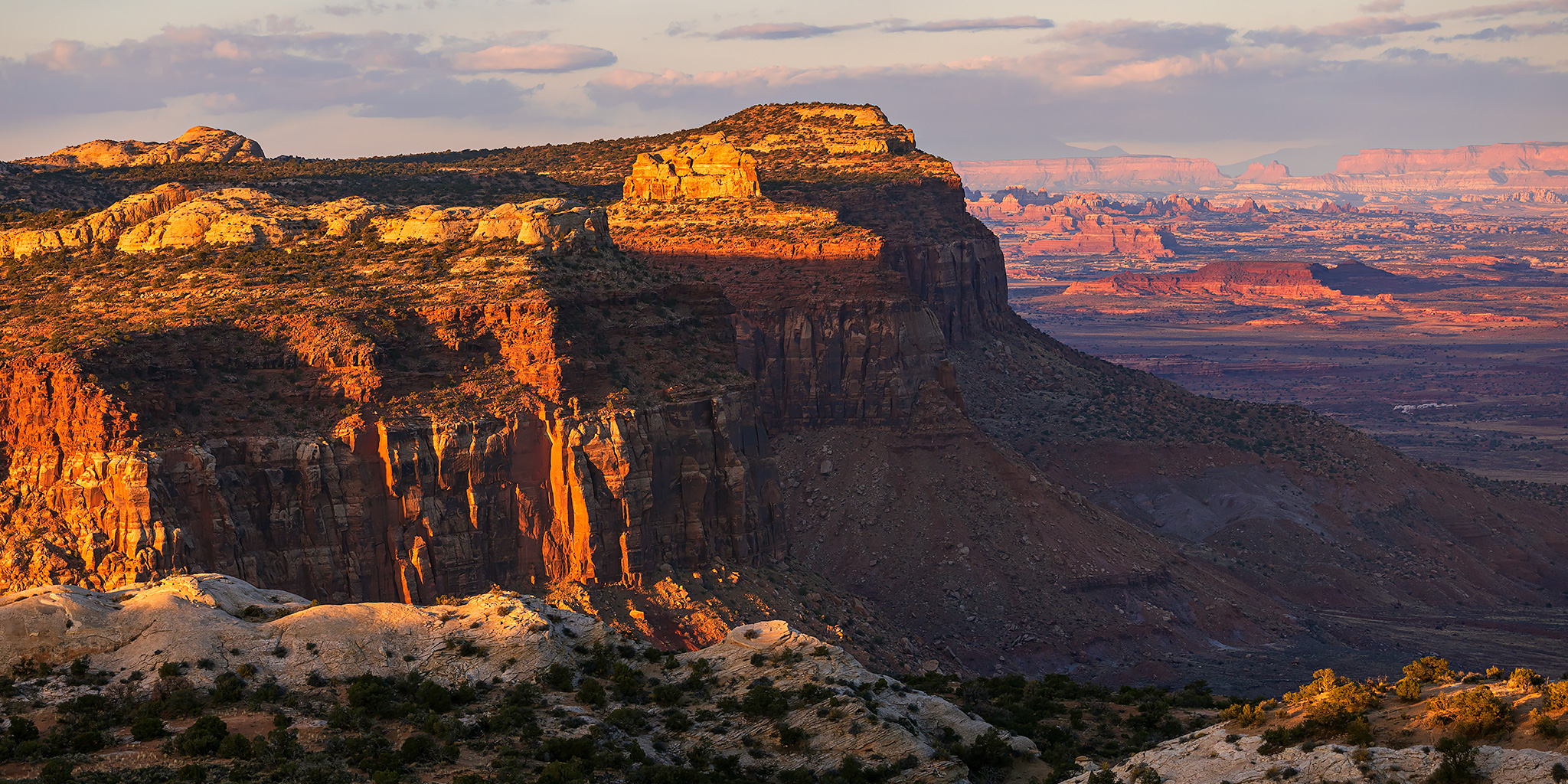
It’s now been almost an entire year since I started my quest to follow and explore the historic route of the 1859 Macomb Expedition, also known as the San Juan Exploring Expedition, which contained a small detachment of men who were quite possibly the first non-native Americans to view and describe what is now Canyonlands National Park. During that trip I followed the Old Spanish Trail across Dry Valley from Cañon Pintado (East Canyon) to Casa Colorado and then steadily climbed up Hatch Point until I was at the edge of the rim overlooking Cañon Colorado (Harts Draw) and the greater Canyonlands region. That point was roughly in the same area where Captain Macomb and his men would have had their first view of the region that would later become known as The Needles and where they would most likely have begun their descent to the canyons below in search of The Confluence of the Green and Grand Rivers. This weekend I set out to continue following their historic route as it descended from the rim of Hatch Point into Harts Draw and then I would continue downstream into Labyrinth Cañon (Indian Creek Canyon). Although I had hoped to follow the route segments in order, except that I had planned to start hiking from the bottom of Harts Draw up to the rim since I thought route-finding would be easier in that direction, but stormy weather on Saturday altered my plans a bit and I ended up hiking the segments out of order.

Leave a Comment

Cedar Mesa Chronicles: Chapter 9

Southern Utah Wanderings | Tuesday – Thursday, October 3-5, 2023

After spending the last couple of days exploring the canyons of the Dark Canyon Plateau, it was now time for Jared and I to spend a little time in the canyons of Cedar Mesa. After grabbing dinner and replenishing our supplies in Blanding on Monday afternoon, we returned to Comb Wash and found a nice campsite to spend the night in. Then on Tuesday morning we headed up the narrow and sandy road into Arch Canyon where we planned to stay through the following day. It’s been just about fifteen years since either of us had driven into Arch Canyon and we were looking forward to some new hikes, spending the night in the canyon, and hopefully finding some ruins that we had missed on previous visits.

1 Comment

Christmas in Arches 2020

Christmas Day | Friday, December 25, 2020

Since Christmas Day fell on a Friday this year, I had booked a hotel room in Moab so we could spend the entire weekend in the area. Of course, this was before COVID struck and changed everything. We had considered cancelling these reservations and figuring something else to do this weekend, but in the end we decided to carry on with our plans. Early on Friday morning Diane and I left home and headed straight for Arches National Park, like we do every year. We drove all the way through the park and made it to the Devils Garden Trailhead shortly after sunrise so we could hike to Landscape Arch to make sure that it is still standing after another year. It’s our Christmas tradition!

1 Comment

White River Narrows & Mount Irish Petroglyphs

Across the Great Basin and Back | The Loneliest Road (Trip) in America
Rock Art of the Basin and Range National Monument
Friday & Saturday, September 4-5, 2020

Once I left the White Mountains behind, it was time to visit a few rock art sites in the Basin and Range National Monument as I drove back home across the Great Basin. After stopping in Tonopah for gas and food I continued east on US Route 6 for a little while until I reached Warm Springs and then turned off onto the Extraterrestrial Highway. If you want to drive a lonely highway, then this is probably the one for you! I didn’t even have cell phone signal for almost the entire stretch! I made my way south past the Nellis Air Force Range and through through the tiny town of Rachel on my way to Crystal Springs in the Pahranagat Valley. By the time I drove up the Logan Canyon Road into the Irish Mountain Range it was already getting pretty dark out and I found a spot to spend the night just below Logan Pass. The temperature was heating up in the desert again with another heat wave spreading across the southwest, so it didn’t cool off very quickly, even at 7,000 feet at night.

3 Comments

The Highest Point in Nevada: Boundary Peak

Across the Great Basin and Back | The Loneliest Road (Trip) in America
Thursday & Friday, September 3-4, 2020

After hiking to the top of White Mountain Peak in the morning and then stopping in Bishop for food and gas in the afternoon, it was time for me to head back into Nevada on US Route 6 so I could climb Boundary Peak located at the very northern end of the White Mountains. Since I had hiked Wheeler Peak on Wednesday which is considered the ‘highest peak’ in Nevada, I figured that I might as well climb the ‘highest point’ in Nevada too since I was going to be driving right near it. This would be my third peak in as many days and I was hoping that my legs would be up for it!

Leave a Comment