Labor Day Weekend | Thursday – Sunday, August 30 – September 2, 2018
Last August when Diane and I were driving home through the eastern edge of the Uinta Mountains from our first backpacking trip in the Wind River Range in Wyoming, I mentioned that we needed to go on a backpacking trip into the High Uintas Wilderness in 2018, so I put it on our calendar for Labor Day weekend when I got back home. Fast forward a few months and it was time to start figuring out more specific plans for the trip. After looking at maps and our options, I figured that we might as well go all out and hike to the summit of Kings Peak which is the highest point in Utah. There are a couple of ways to get there, but Henrys Fork looked like the easiest and most popular way to go, so we thought it would be a good introduction to hiking in the High Uintas. Since I knew this was going to be a popular spot, especially during a holiday weekend, we took off Friday from work in hopes of getting a little bit of a head start. We left right after work on Thursday and drove over Douglas Pass and through the Book Cliffs to Vernal, where we stopped for a quick dinner. We almost hit a deer as we were driving through Manila, but other than that the drive was pretty uneventful. We arrived at the Henrys Fork Trailhead in the dark around 10:00pm and found a great spot to camp nearby. We quickly setup our tent and went right to bed. The sky was very clear and the stars and milky way were bright tonight!
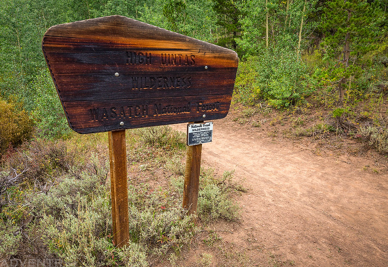
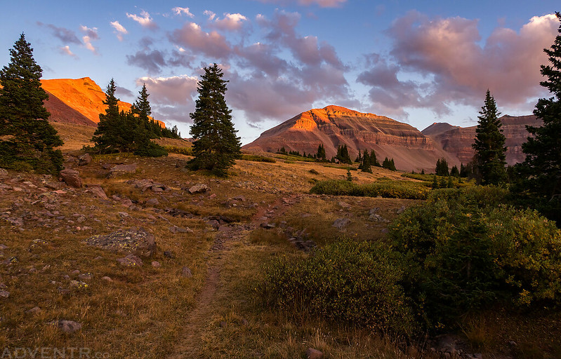
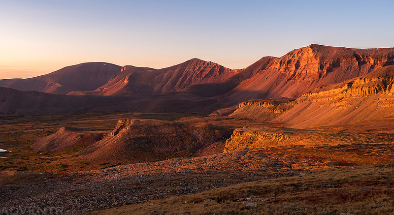
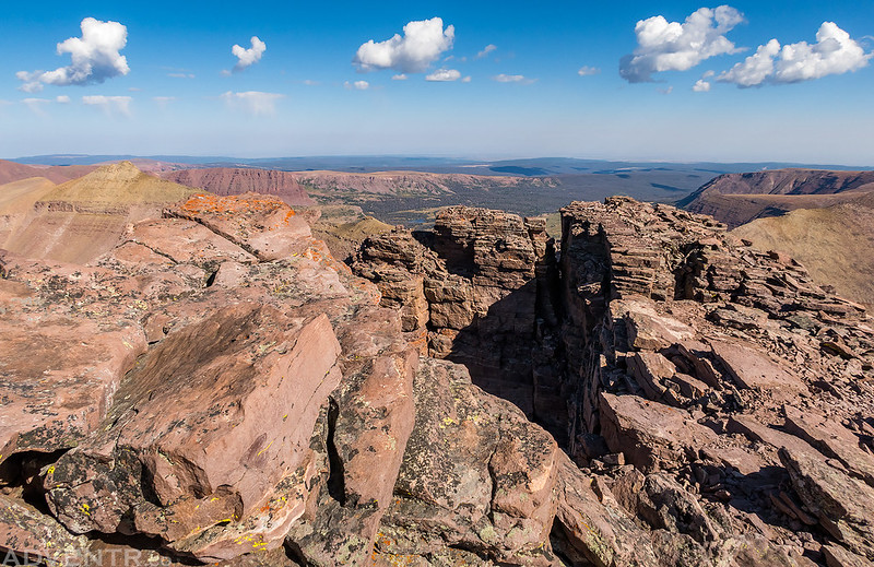
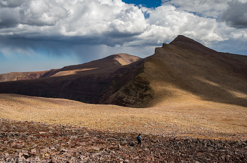
Entering the High Uintas Wilderness for the very first time.
On Friday morning we woke up around sunrise and found the temperature outside to be colder than we were expecting when we got out of our sleeping bags. My Jeep said it was 34 degrees. We broke down camp and then drove the short distance over to the trailhead parking lot which wasn’t very full yet. We made sure we had everything we needed in our packs for the next few days and then started our hike up Henrys Fork.
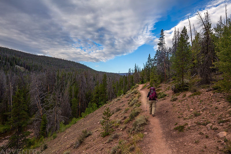
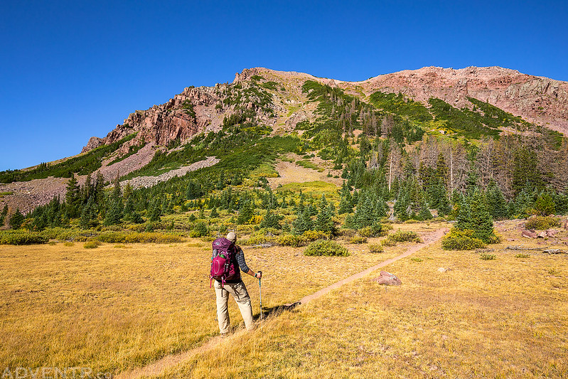
Diane hikes ahead of me on the Henrys Fork Trail.
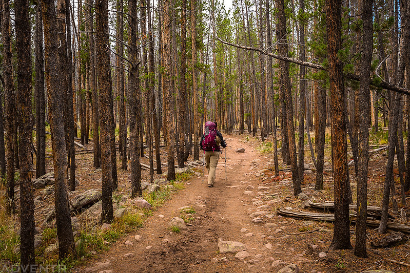
Much of the first five miles of the trail were in the trees like this. The views didn’t start opening up until we reached Elkhorn Crossing.
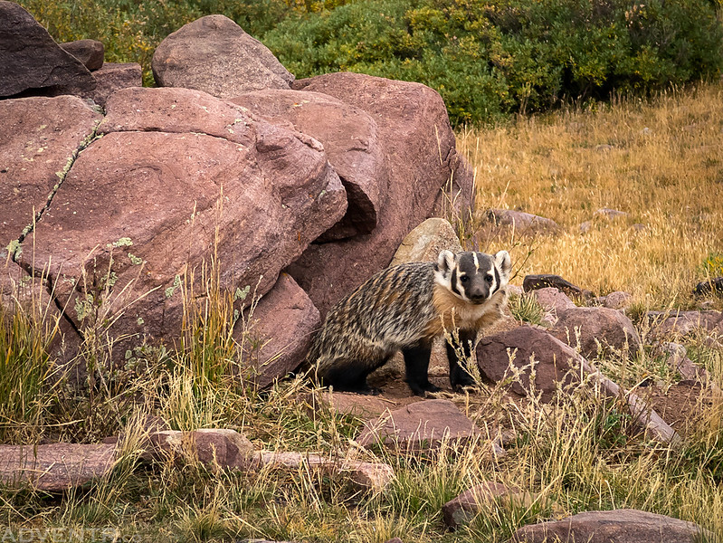
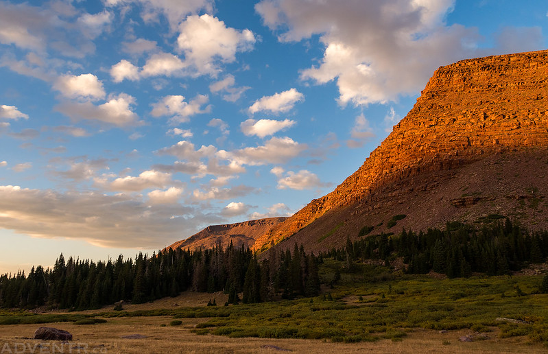
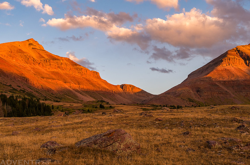
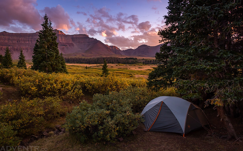
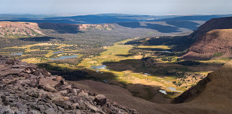
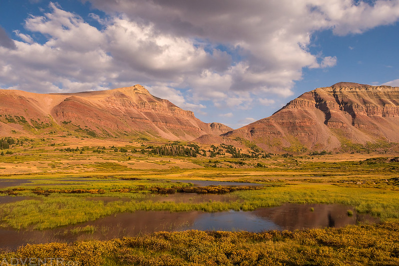
The trail up past Dollar Lake, where we were planning on camping, was a pretty easy eight miles with around 1500 feet of elevation gain. We passed a couple groups along the way that had started shortly before us and arrived around noon. The sky was mostly overcast until we reached Elkhorn Crossing and then the sun started to peek out a little. As we hiked past Dollar Lake we searched for a good spot to camp. The first site we thought about staying at had an expansive view over the basin, but we found a badger that was living nearby and being very protective of its home, so we decided it would be best to camp a little further away. Then we found an even better site in a small cluster of trees down below. From our site we were able to see Kings Peak, Gunsight Peak, Dome Peak (West Gunsight Peak), Henrys Fork Peak, Mount Powell and Flat Top Mountain. We setup our tent, had a little lunch and then took a nap and rested for a little while. It was beginning to look like afternoon storms were building, and a little while later it did start to rain. There were some strong gusts of wind and even a couple distant rumbles of thunder, but we stayed dry in the tent.
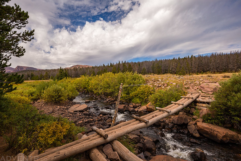
The bridge across the Henrys Fork at Elkhorn Crossing.
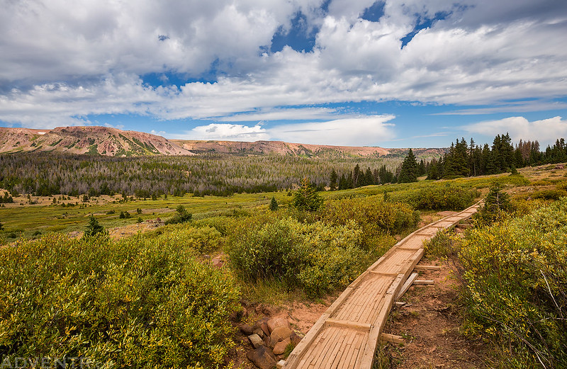
There were a number of short boardwalks constructed along the trail in what I am assuming are normally marshy areas. However, with the low snowpack this year all these sections were mostly dry at this time.
We were chased off from the first campsite location we looked at by this protective badger.
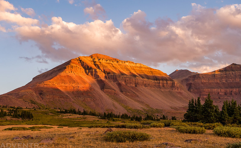
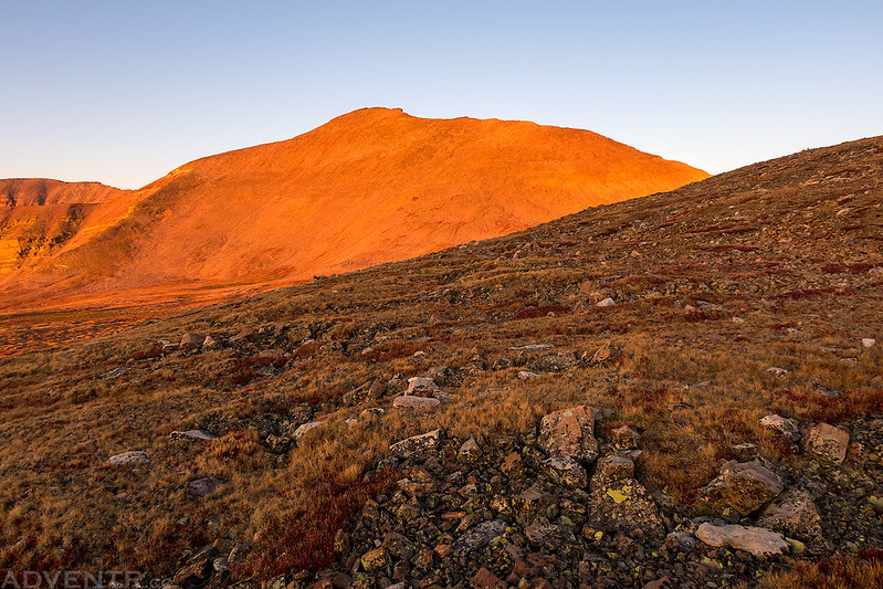
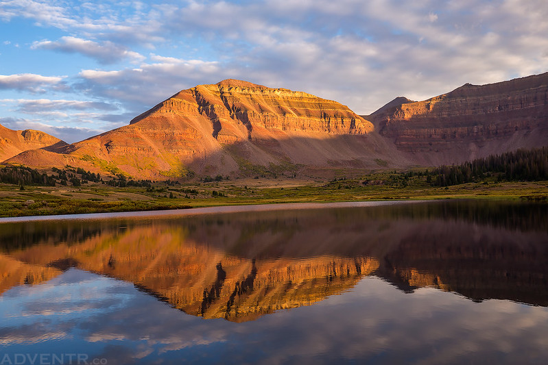
After waiting out the afternoon storms in the tent I got out to this view above our campsite shortly before sunset. I really liked the texture in the rock of this mountain.
A view of Kings Peak from near our camp. Kings Peak is the small point in the light right in the middle of the frame.
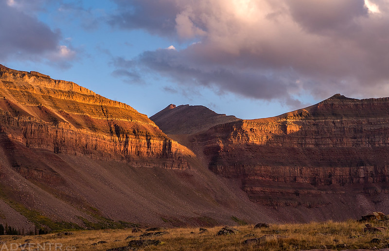
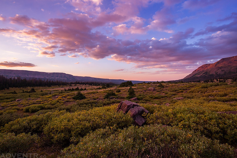
Beautiful light and clouds above.
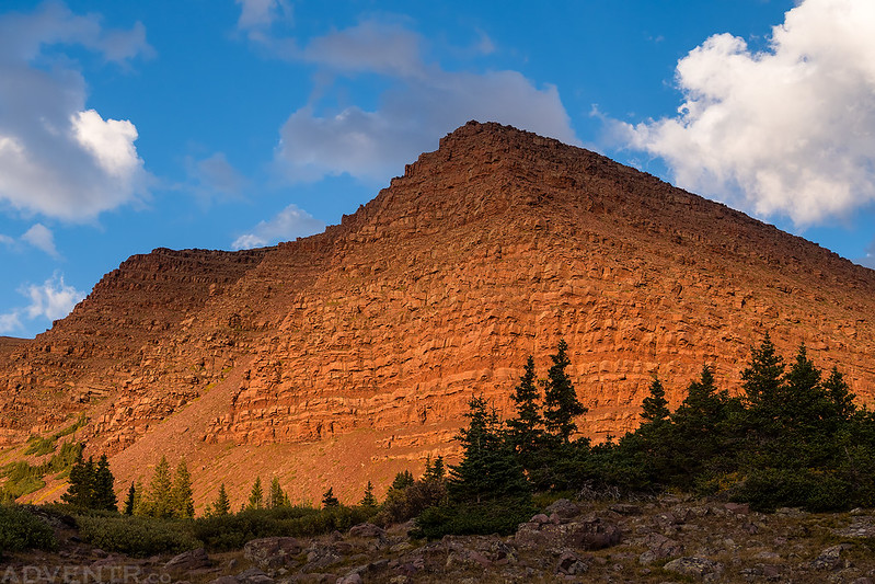
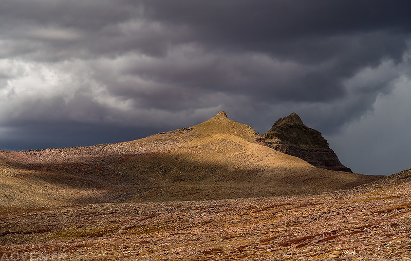
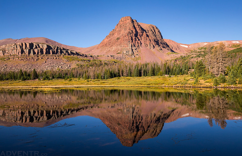
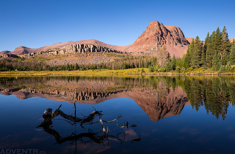
Dome Peak (13,103) at sunset.
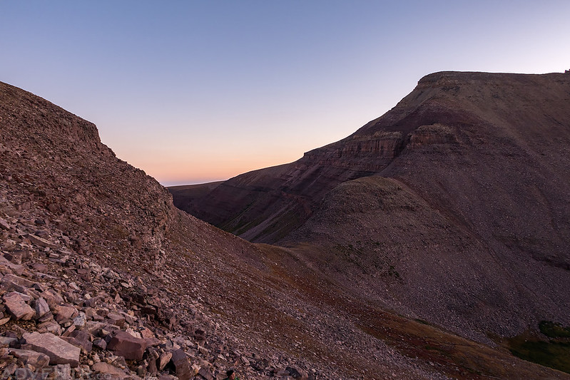
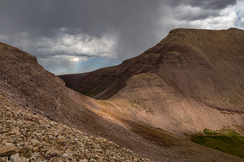
Looking over toward Gunsight Pass, which would be our first destination on Saturday morning.
Following the trail back to our campsite for the rest of the evening.
Not a bad place to spend two nights.
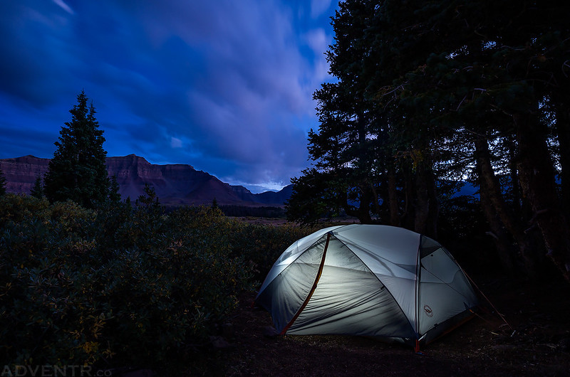
One last long exposure photo of our tent as the light was fading fast. I went right to bed after taking this photo so we could get up for an early start on Saturday.
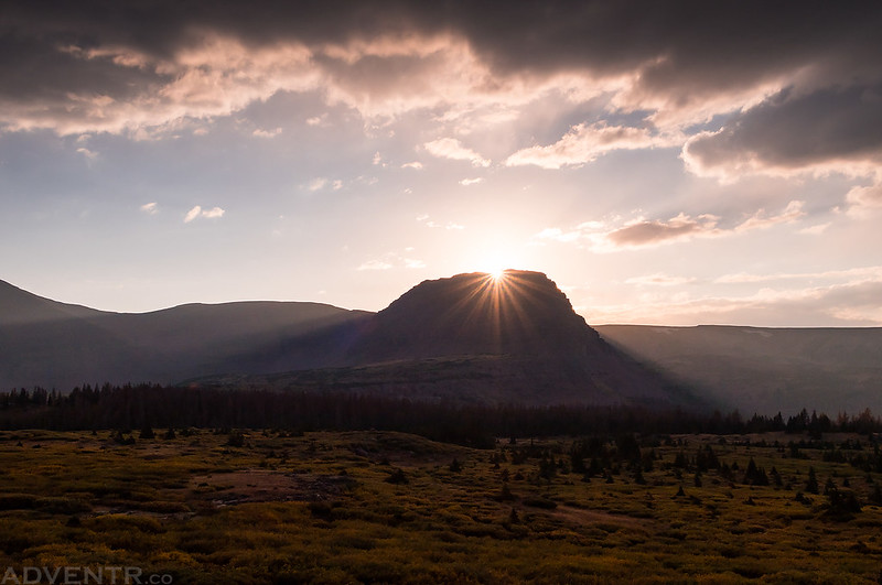
We woke up to my alarm at 4:30 on Saturday morning and were on the trail by 5:00am. The moon was out and the stars were bright, but it certainly didn’t feel as cold as the previous morning. We left camp and followed the well-worn trail up to Gunsight Pass in the dark by the light from our headlamps. From there we climbed the shortcut route over to Anderson Pass during dawn and sunrise. From Anderson Pass it was a slow and rocky climb up the ridge to the summit of Kings Peak. Care was needed on this part since there were a lot of loose rocks and boulders.
Looking back at Gunsight Pass in the early morning dawn light as we climbed up the shortcut trail to Anderson Pass.
A beautiful sunrise view towards Trail Rider Pass along a ridge containing a number of Utah thirteeners including First Gemini (13,387), Ramp Peak (13,247), Northwest Emmons (13,287), and Mount Emmons (13,440)
Kings Peak glowing in the early morning light as we hiked across the rocky tundra to catch the Highline Trail for a short distance.
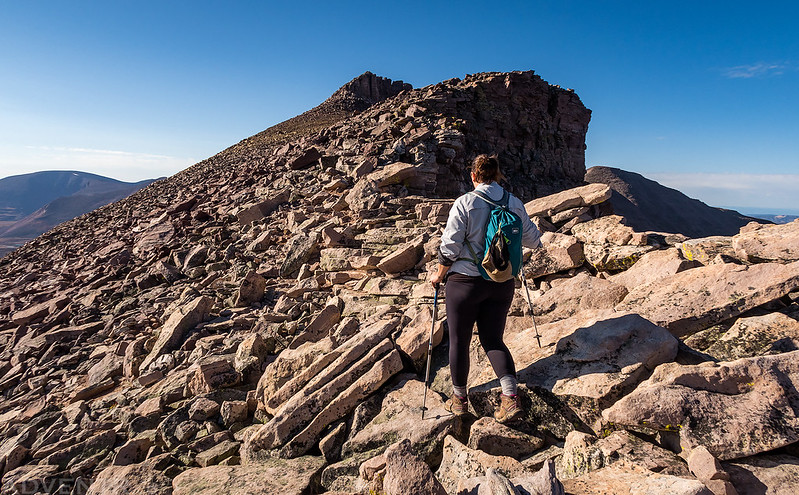
Diane hikes along the rocky ridge toward the summit of Kings Peak.
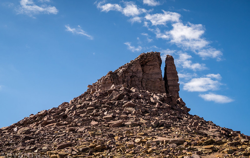
After a couple of false summits, we finally had a view of the actual summit.
On the summit of Kings Peak (13,528) overlooking Henrys Fork in the distance.
When we arrived at the summit the sky was still mostly clear, but a few clouds were starting to build in the distance while we were enjoying the view from the Top of Utah. After spending a little time on the summit it was time to start heading back down. The clouds around us were building very quickly during our descent and there were a lot of people hiking up to the summit at this time. When we reached Anderson Pass again the sky was looking pretty threatening and we were glad to be on our way back down at this point. We took the shortcut route back to Gunsight Pass and hoped to reach the other side before the storms reached us. We barely won that race as it started to snow once we reached the other side of the pass and then there were a few loud crashes of thunder and lightning on the other side of the pass we had just come over. We were definitely glad we made it in time!
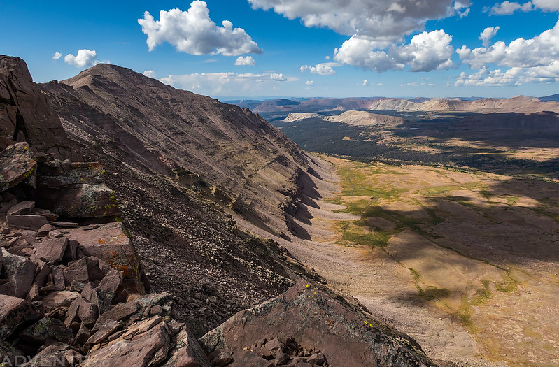
A better looks over the Henrys Fork Basin during our descent.
A view of South Kings Peak (13,512) over Yellowstone Creek Basin.
Diane enjoys the view from Anderson Pass as storm clouds rapidly build above us.
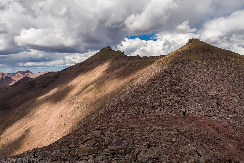
Hiking across rocky terrain on our way back to Gunsight Pass.
The clouds were getting darker behind us over Anderson Pass and near Kings Peak. We were glad to be on our way back down by now.
Trying to beat the storm back down to Gunsight Pass. It was a close race, but we made it just in time!
There would be a few more on and off snowstorms during the remainder of our hike back to camp, but nothing too heavy to get us wet. We also had to walk through a large herd of sheep that had wandered over to the trail while we were gone. We returned to camp around 1:30pm and rested in the tent while it continued to rain and snow. While we were resting in the tent it got very windy outside. The wind was very loud and noisy blowing through the trees above us, but only a few random gusts actually hit our tent. It stayed windy out for a few hours.
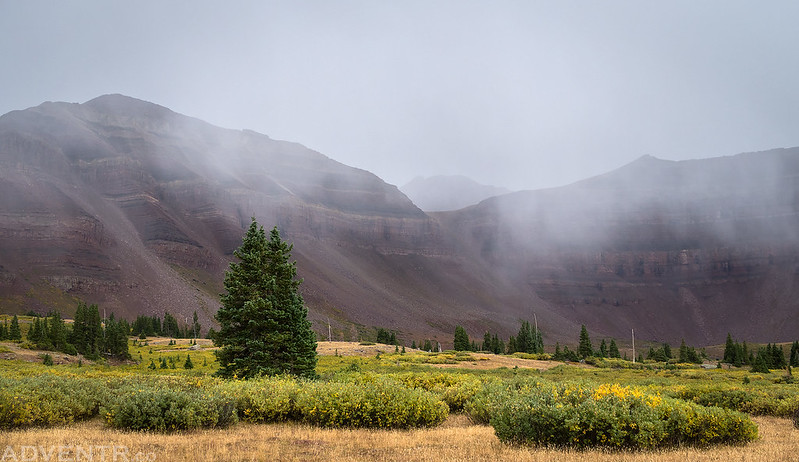
One of the many snowstorms that moved through the upper basin this afternoon and obstructed our views of the surrounding mountains.
When the wind finally died down we got out of our tent and made dinner, but as soon as we were done eating one more storm moved into the area and chased us back into the tent. When that final storm blew over I went for another evening hike to a large tarn above camp and took some photos at sunset. It was a beautiful sunset this evening as the clearing storm left behind some nice clouds in the sky. It was also nice to have a smoke free sky for a change, too.
A beautiful evening for a hike in the wilderness.
This marmot stood up on this rock for a while and was constantly making a loud chirping sound.

The sun dropping below Flat Top Mountain (12,168) to the west.
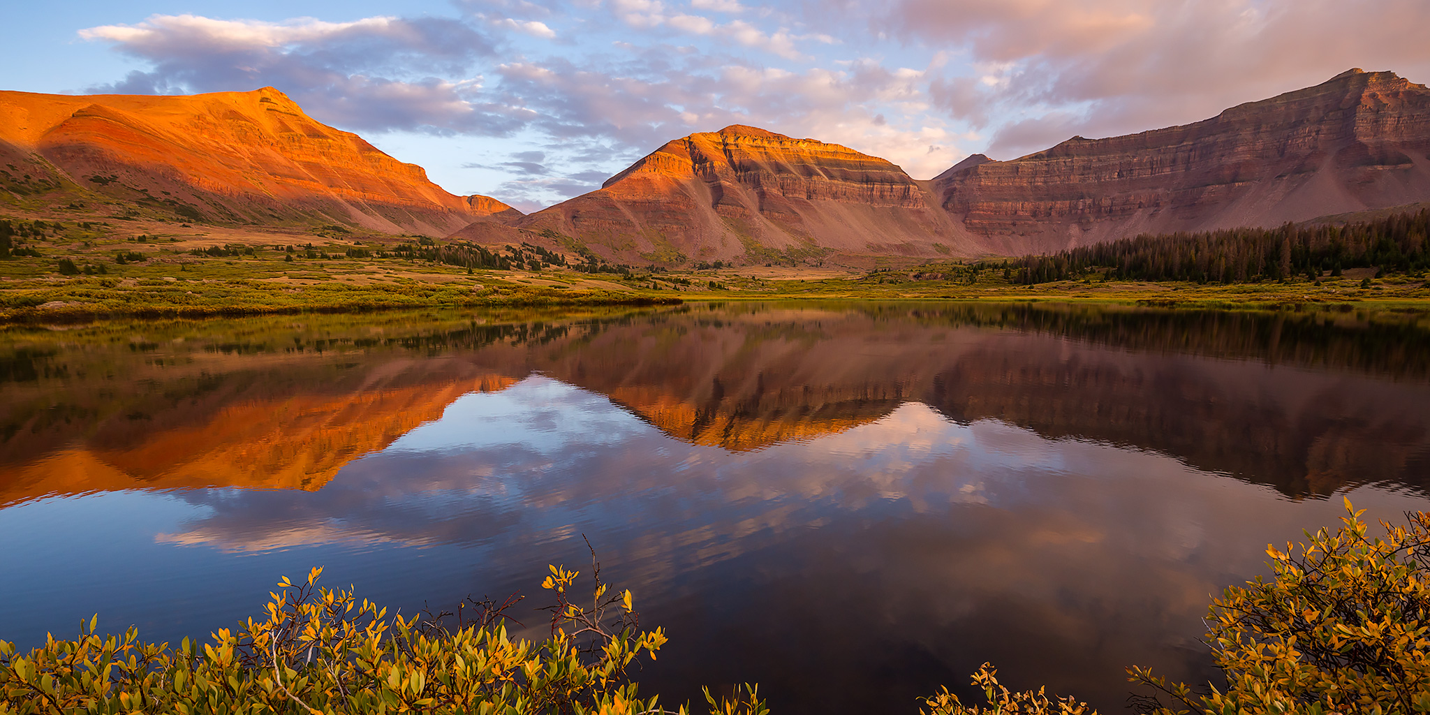
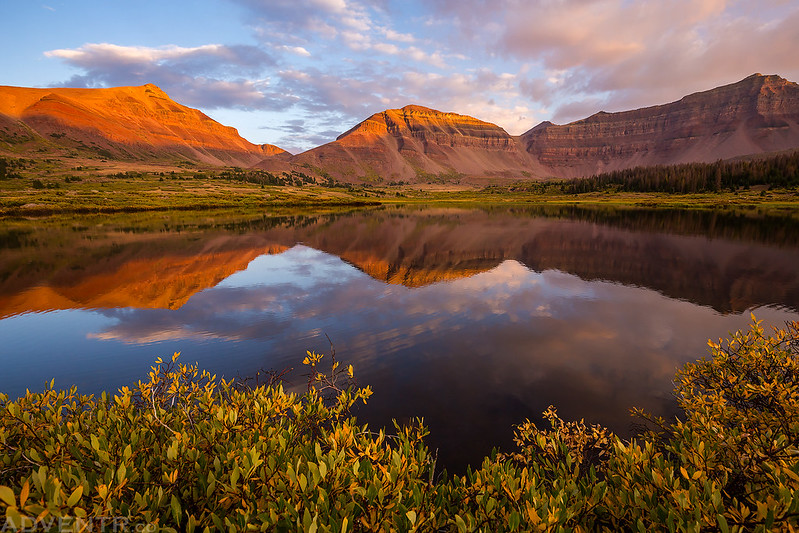
A great reflection of Dome Peak and Kings Peak shortly before sunset.
An amazing sunset view in the High Uintas Wilderness.
I hiked back to camp under a magenta sky. When I returned I went right to bed since it had been a long day and I was exhausted.
We slept in later on Sunday morning and woke up to a clear blue sky around 7:00am. I believe this was probably the coldest morning of the trip because smaller pools of water were iced over. Since we had accomplished everything we wanted to do on this trip and it finally started to get busy in the basin on Saturday evening, we decided to head out a day early so we could spend the holiday relaxing at home. We packed up our camp and then took the Henrys Fork Basin Trail back to Elkhorn Crossing, creating a short loop. The trail was a little difficult to navigate at the upper end, but we eventually found the way.
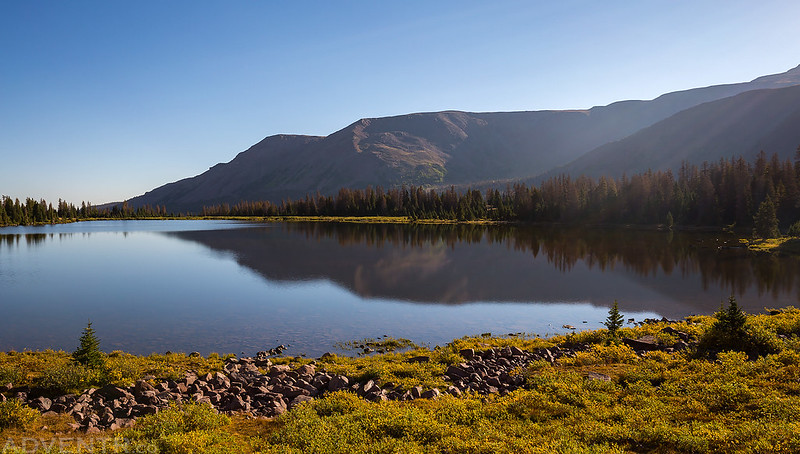
We hiked past Henrys Fork Lake in the early morning.
There was a nice reflection of Flat Top Mountain in this small unnamed tarn along the trail.
Diane stops to take in the view along the Henrys Fork Basin Trail on our way back to the trailhead.
From Elkhorn Crossing it was an easy downhill hike back to the trailhead. We returned to my Jeep in the early afternoon and then drove back home to Grand Junction arriving later in the evening. This was a great introduction to the High Uintas Wilderness and we look forward to returning!