San Rafael Swell Rock Art XV | Northern San Rafael Reef
Saturday, January 13, 2018
After having to cancel my hiking plans the previous weekend, Diane headed back with me this weekend to spend some time exploring a few canyons of the San Rafael Reef based out of Green River. We spent Saturday in the northern section of the San Rafael Reef and started the day by revisiting Cottonwood Wash.
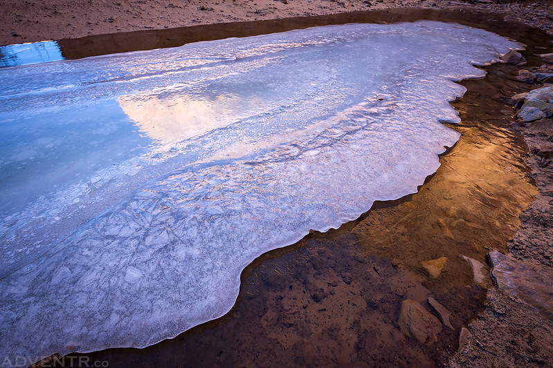
As we hiked through the canyon we came across this interesting section of ice. There were two layers of ice, the top part was thin and white and the lower portion was solid and crystal clear.
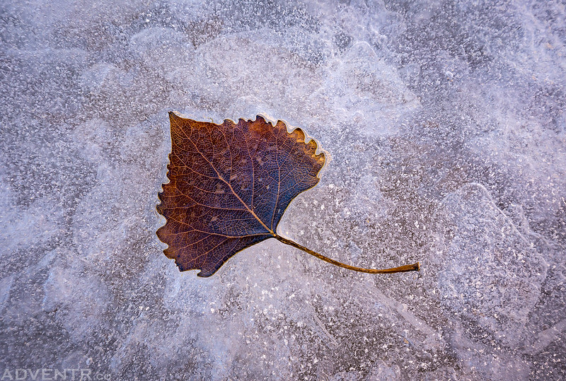
A leaf frozen on the top surface.
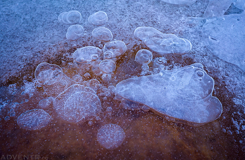
Bubbles frozen in the ice.
Here’s a nice petroglyph panel I missed on my first visit to this canyon. It was a tough one to photograph in the sunlight, though…
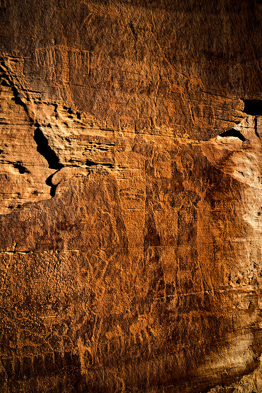
The Hunter

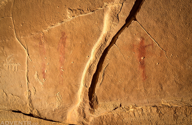
A couple small red pictographs.
There were also a few inscriptions from 1881 nearby. Jasper Conrad, 1881.

J.A. Smith, 1881

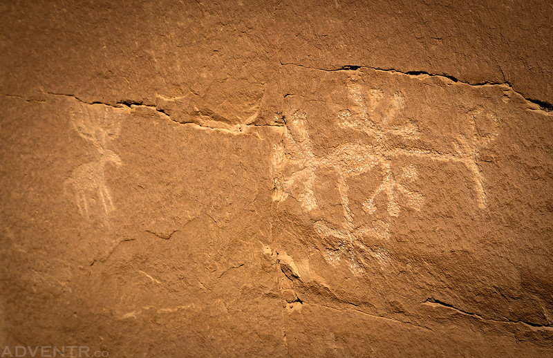
Unusual designs…
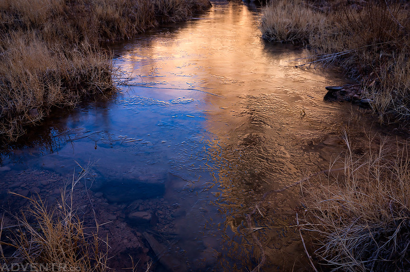
The canyon wall and sky reflected on a thin sheet of ice.
A view up Cottonwood Wash.

Sandstone designs in the canyon.

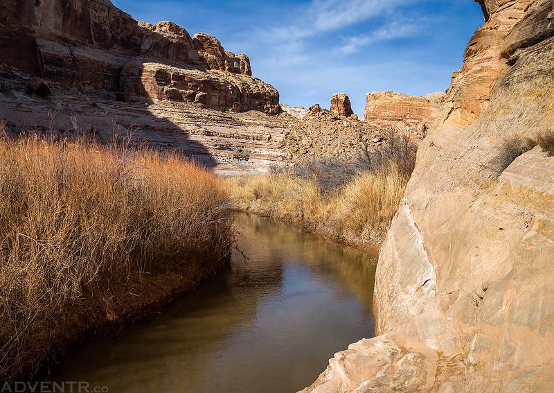
After returning to my Jeep at the mouth of the canyon we drove south along Tidwell Draw and parked at the very end of the road so we could hike along the San Rafael River and into Thompson Hole.
Looking down into Thompson Hole, an abandoned meander of the San Rafael River, from the rim of the canyon.

A small petroglyph panel found in the rincon.

Hiking along the San Rafael River.
A small red pictograph I spotted.

A nice panel of petroglyphs along the river, but difficult to see.

Here’s a small group of Barrier Canyon Style pictographs we visited in a nearby canyon.

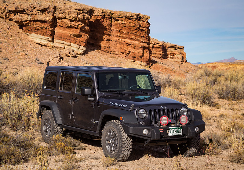
Back to my Jeep after our hike. All four wheels stayed on this weekend…
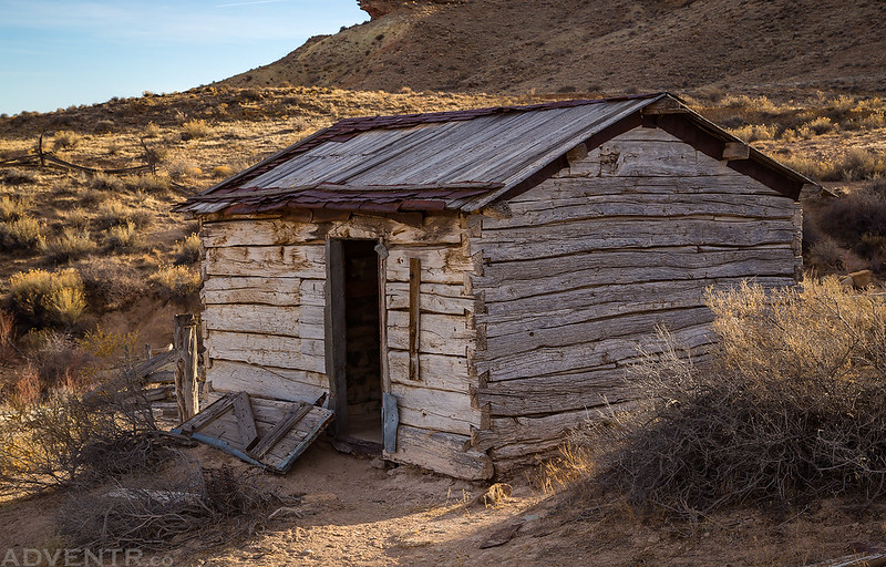
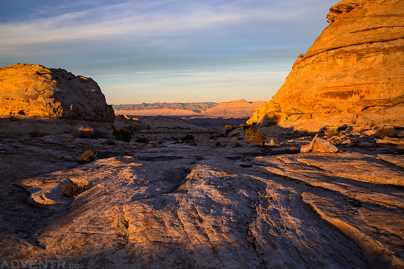
By this time there were only a few hours of daylight left so we headed back to the Smith’s Cabin and hiked up to the top of the San Rafael Reef so we could watch the sunset from an overlook of Spring Canyon and Mexican Mountain.
Our hike started near this old cabin. We didn’t actually take the Horsethief Trail most of the way up and instead we followed washes, canyons and ridges on our way to the top.
A view back toward Green River and the Book Cliffs from partway up the San Rafael Reef.

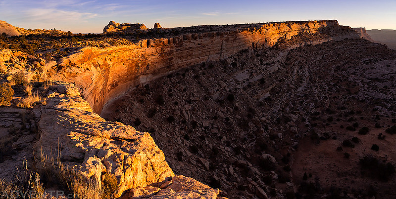
About halfway up the Reef we crossed paths with the Horsethief Trail and followed it to the edge.
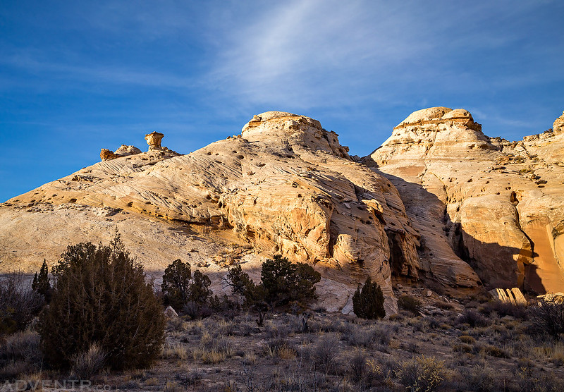
There is some pretty nice sandstone hiking in this area.
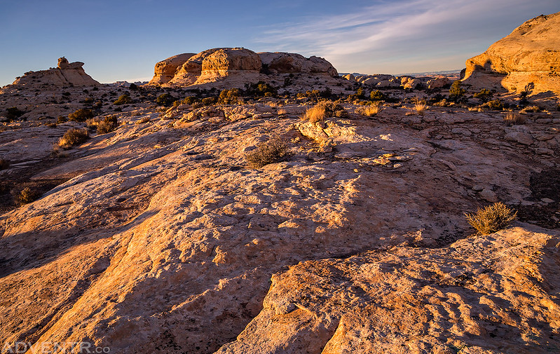
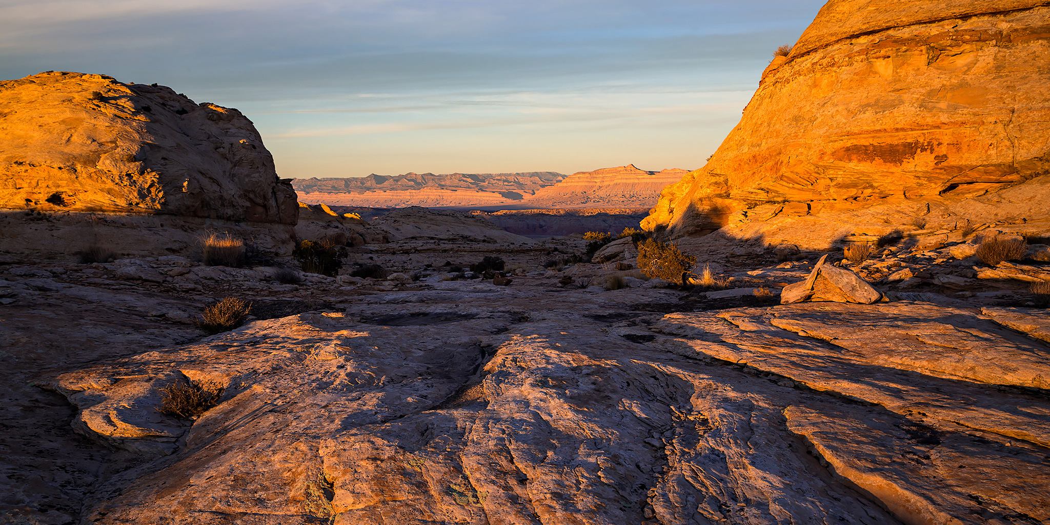
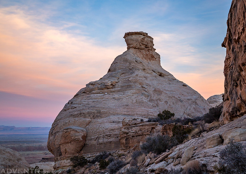
The edge of the San Rafael Reef shortly before sunset.
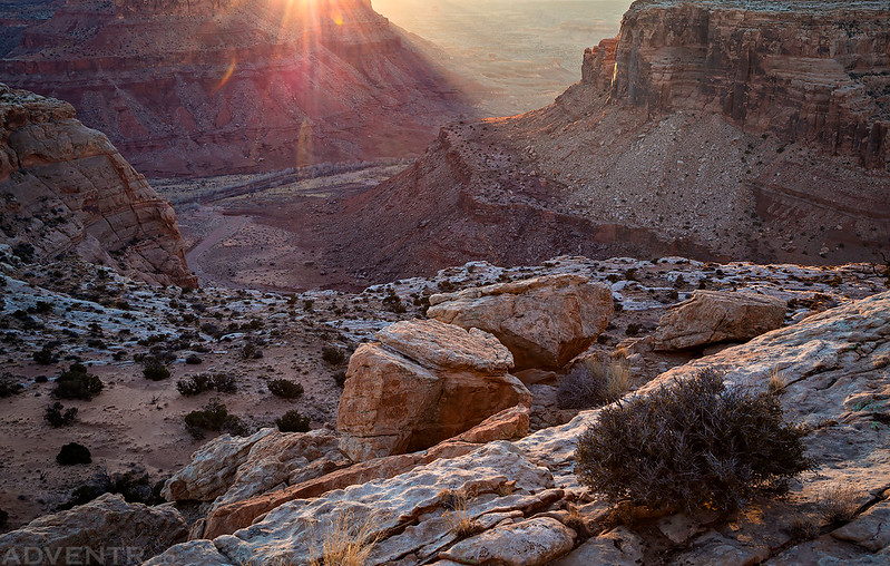
Looking down over Spring Canyon and the airstrip below Mexican Mountain. We had actually hiked down in that area last winter for my birthday.
The last golden light of the day strikes the top of the San Rafael Reef as we started hiking back down.
Diane hikes down the Horsethief Trail ahead of me at dusk.
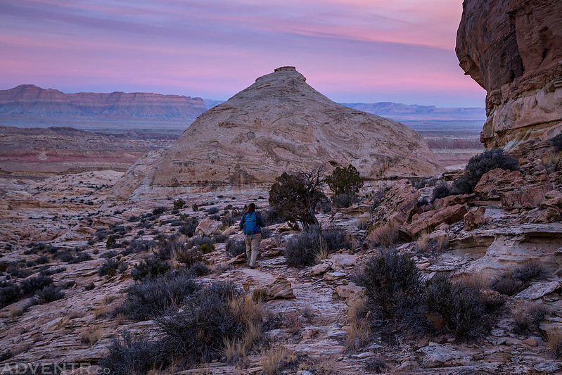
We ended the day with a colorful sunset above the San Rafael Reef as we hiked back down to the trailhead. We made it back to the Jeep just before needing to use our headlamps.
A distant view of the La Sal Mountains.


Amazingly stark area. I particularly like the glyphs. I wonder if it was any different in 1881 as far as vegetation is concerned. Thanks for the post. I admire you for getting out in the cold and on ice sometimes, too.
Thanks Dianne. From old photos I’ve seen from the late 1800’s and early 1900’s, it seems there was less vegetation growing in the canyons at that time.
Always enjoy the reports and photography, and especially your eye for detail.
Thanks Steve!
Randy, I’m enjoying your posts as I make recent bike hike explorations of the Swell. I’m using AllTrails but it lacks bars of features like Tidwell, Cottonwood Wash, Thompsons Hole, etc. What map app are you using that names all these little roads and draws that punch into the Swell?
I’m oldschool and stick to USGS Topo maps, Trails Illustrated Maps and Kelsey’s Colorado Plateau hiking guidebook.