Press "Enter" to skip to content

Tag: wind

The Island In The Sky

Saturday, February 10, 2018

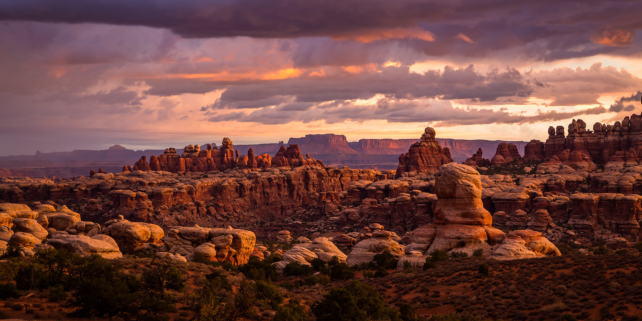
Since I already have plans and permits to spend time in The Needles and The Maze districts of Canyonlands National Park this spring, I thought it would be nice to spend a little quality time on the Island In The Sky, too. I recently realized that I haven’t done very much hiking in this part of the park yet and I really want to start changing that. This time I was not looking to hike all the way down to the White Rim and then climb back up, so I decided to start with the Neck Spring Trail and a few other shorter trails. I’ll definitely be coming back for some longer hikes later this year!

4 Comments

The Abajo Mountains

Southern Utah Wanderings | Fall Colors 2017
Monday, October 2, 2017

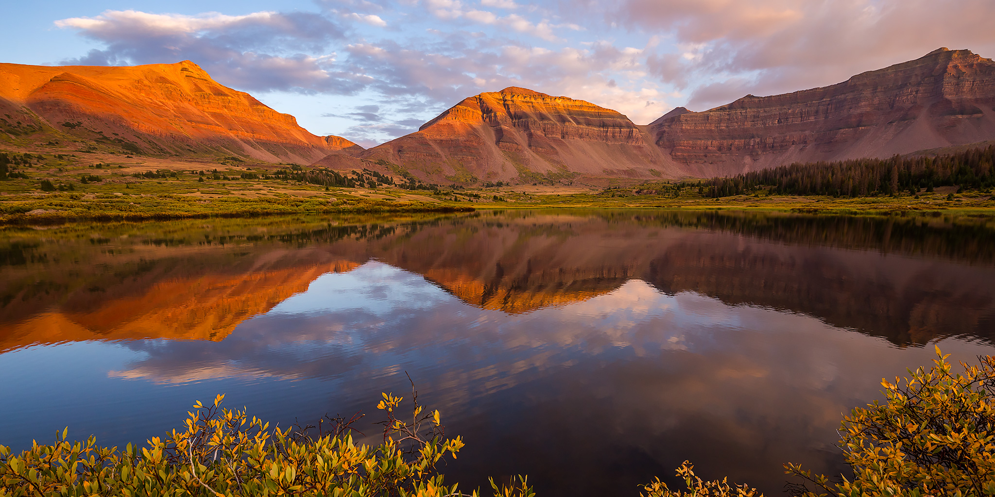
After spending the weekend in the northern section of Bears Ears National Monument and Canyonlands National Park, we moved a little further south into the Abajo Mountains (Blue Mountains) so we could get a little peak-bagging in on our trip. Since I’ve hiked the highest peaks in the La Sal Mountains and Henry Mountains, I thought it would be nice to complete the trifecta by reaching the summit of Abajo Peak (11,360), the highest point in the Abajo Mountains. This one is a little easier than the others though, since there is a good road all the way up to the top because of all the towers and antennas up there. Shortly after sunrise we broke down our camp located at the base of the Abajo Mountains and drove up the road to the summit. There were some nice views along the way.

Leave a Comment

The Great American Eclipse in The Wind Rivers

Seneca Lake, Island Lake & Titcomb Basin
Thursday – Monday, August 17-21, 2017

The plans for this particular trip started to come together well over a year ago when I first learned about The Great American Eclipse happening on August 21, 2017. The last total eclipse visible from the United States was before I was born, so I really wanted to make an effort to experience this one. After looking at a map of the path of totality, I saw that this one was going to be visible right over the Wind River Range in Wyoming which is only about a six hour drive from home. While I had briefly visited the Wind Rivers outside of Lander about ten years ago, I’ve wanted to go on a backpacking trip into the Bridger Wilderness for a pretty long time now and figured that this would be the perfect opportunity. Early in the planning stages I set my sights on backpacking into the Island Lake and Titcomb Basin area below Fremont Peak from the Elkhart Park Trailhead near Pinedale. I figured that this popular and beautiful area would be a good introduction to backpacking in the Wind Rivers. As the date of the eclipse got closer and more and more people learned about it from social media, I figured that this area of Wyoming was probably going to be much busier than usual, but I decided against changing our plans and was willing to make that sacrifice for this possible once-in-a-lifetime event.

5 Comments

The Serpent of The Sangres: Culebra Peak

Culebra Peak | Friday – Saturday, July 28-29, 2017

Last year after hiking my first 14er in the Sangre de Cristo Mountains I thought it would be nice to come back again this year for another one. After looking at my options earlier in the year I decided to try and get two permits to hike Culebra Peak (14,047) at the southern end of the range within Colorado. Culebra, which translates to serpent or snake in Spanish, is most likely named for the long snake-like ridge that leads up to its summit which is visible from the west. For those not familiar, Culebra Peak is the southernmost 14er in Colorado (only about 9 miles from the New Mexico border), the highest point in the Culebra Range, and is completely on private property which was originally part of a large Mexican Land Grant that dates back to 1844. This area of Colorado has a very unique and controversial history and I highly recommend that you check out this page on Summit Post to learn more about the timeline of this property. What pushed me over the edge to try for Culebra this year was the fact that the ranch it is located on has been for sale for a while and there is no guarantee the future owner of the property will continue to allow access. I figured that I’d like the opportunity to try and climb this peak now with it’s uncertain future.

2 Comments

Backpacking The Great Sand Dunes

Friday – Sunday, June 2-4, 2017

This year I have been trying to cross things off my to-do list that have been on there for way too long. One of the items on my list that I have been looking at for a number of years was backpacking into The Great Sand Dunes. Earlier this year I decided that this was finally the year I was going to go for it! After some research it looked like June would be a good time to go. Even though Great Sand Dunes National Park is usually pretty busy in June since Medano Creek is typically at peak flow, I figured it wouldn’t matter much for us since we would be hiking and camping deeper in the dune field than most visitors go. Looking at my calendar, my only free weekend in June was the very first weekend (It’s going to be a busy month!), which was a little earlier than I would like to have gone, but since it was our only option that’s when we decided to go.

3 Comments