Press "Enter" to skip to content

Tag: west mountain

Hueco Tanks State Park & Historic Site

Wednesday – Thursday, November 13-14, 2024

After leaving Carlsbad Caverns on Wednesday and driving into the state of Texas for the very first time, we made our way west towards El Paso and detoured into the Hueco Mountains later in the day where we made a quick stop at Hueco Tanks State Park & Historic Site to verify that their campground was actually closed this night like their website had stated, and it was. Since we couldn’t camp in the park and there wasn’t any public lands nearby, we drove a few miles to the east and found a site to setup our tent just before sunset at the Gleatherland Ranch Campground, which was mostly empty this evening. We ate dinner as the temperature dropped rather quickly, read in the tent for a while and then went to bed early. This would be our first bag night in Texas, too!

5 Comments
The Summertime Blues: Hiking the Abajo Mountains

Three Directions in the Blue Mountains | Friday – Sunday, August 5-7, 2022

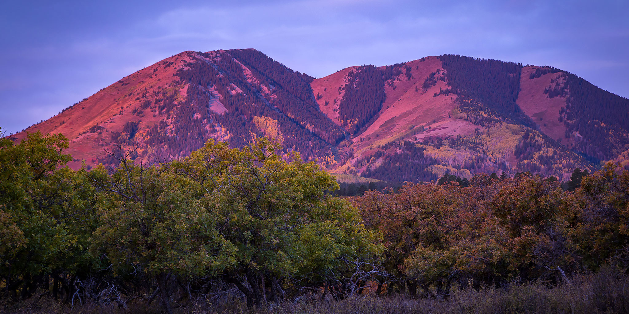
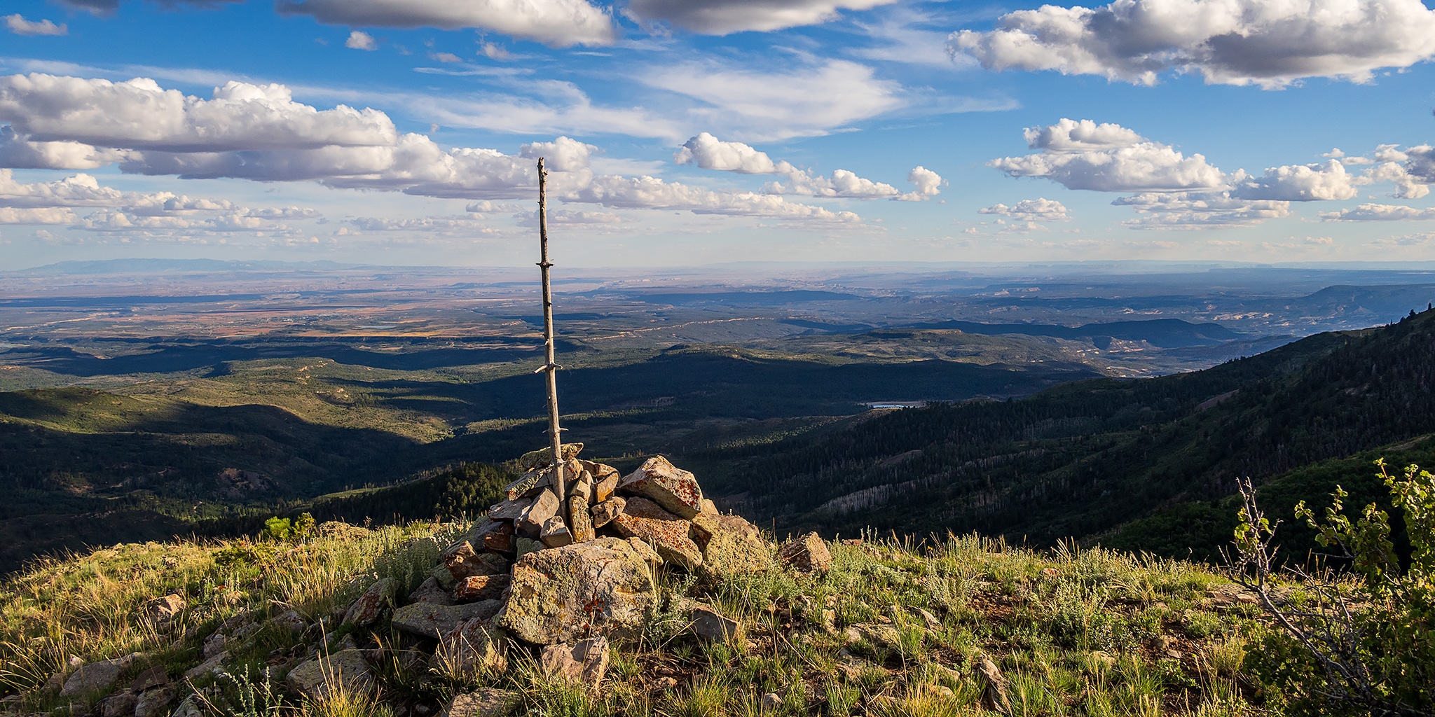
This past week I had been struggling to decide where I wanted to go this weekend as I continually watched the weather forecasts for the mountains since all of them were calling for a large monsoonal surge to enter Colorado which was supposed to create a lot of rain and thunderstorms throughout the high country of the state. On Thursday I decided to look outside of Colorado to the Abajo Mountains, locally known as the Blue Mountains, which had a much milder weather outlook for the weekend, so that’s where I decided to go. As luck would have it, on Friday all the weather forecasters changed their tune about the stormy weather in Colorado for the weekend, but by then I had already set my mind on heading up into the Abajos, plus it has been a while since I did any hiking in this small laccolithic range, so now I was looking forward to getting back!

2 Comments

The Search for the Sky Faces

Friday & Saturday, December 1-2, 2017

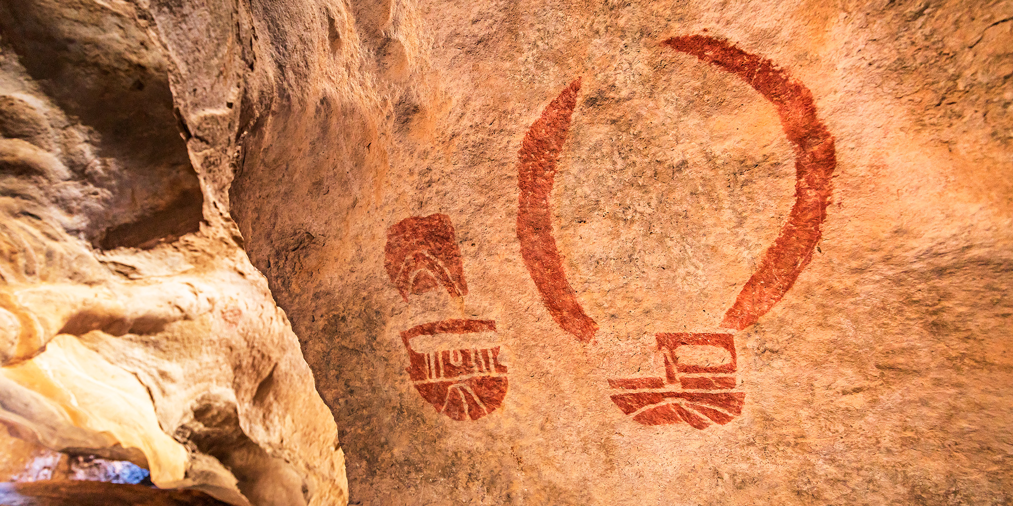
A few years back I came across an old photo of some pictographs I was unfamiliar with called the Sky Faces. Since I’ve enjoyed visiting many of the other ‘Faces Motif’ pictographs in the Canyonlands region (Four Faces, Five Faces, Thirteen Faces, etc.), I decided to try and track them down. It took me a few years, but I was finally able to figure out their location earlier this year and wanted to try and get to them before the year was over. Back in October Jared and I tried to hike to them, but we were unable to reach them via the route we took. With warmer weather sticking around this weekend I decided to head down to Canyonlands National Park after work on Friday and go on a long hike to reach the pictographs on Saturday. I ended up spending Friday night just outside the park in Bears Ears National Monument, which may have been the last time? Looking at the new maps of the Monument, I guess I would have been camped in what is now going to be the Indian Creek National Monument.

5 Comments

The Abajo Mountains

Southern Utah Wanderings | Fall Colors 2017
Monday, October 2, 2017

After spending the weekend in the northern section of Bears Ears National Monument and Canyonlands National Park, we moved a little further south into the Abajo Mountains (Blue Mountains) so we could get a little peak-bagging in on our trip. Since I’ve hiked the highest peaks in the La Sal Mountains and Henry Mountains, I thought it would be nice to complete the trifecta by reaching the summit of Abajo Peak (11,360), the highest point in the Abajo Mountains. This one is a little easier than the others though, since there is a good road all the way up to the top because of all the towers and antennas up there. Shortly after sunrise we broke down our camp located at the base of the Abajo Mountains and drove up the road to the summit. There were some nice views along the way.

Leave a Comment

Dry Mountain in the Wasatch Range

Friday – Sunday, June 30 – July 2, 2017

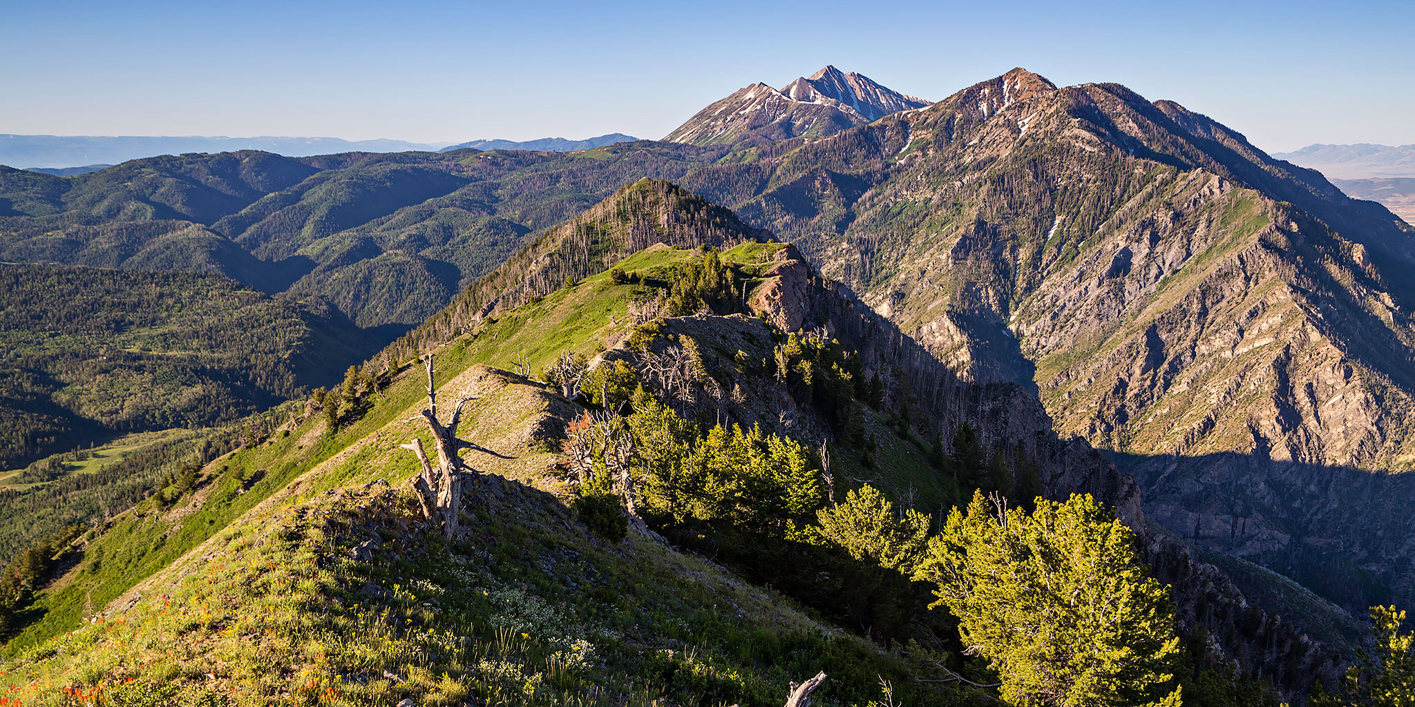
This weekend I was heading up to Salt Lake City to see Rise Against at the USANA Amphitheater on Saturday evening, but since I have a Colorado 14er scheduled to climb later this month I really need to make sure that I’m in shape for it by hiking in the mountains as much as I can this month. Before the trip I did a little research to see if there were any shorter hikes with a couple thousand feet of elevation gain in the Wasatch Mountains that I would be able to squeeze into the trip and I settled on climbing Dry Mountain (9,865) near Santaquin. This mountain wasn’t too far out of my way and it looked like I would also be able to camp near the trailhead the night before. Plus, there wasn’t much information about it online, so I figured the trail wouldn’t be crowded, either. Dry Mountain is one of the shorter peaks found along the Wasatch Front but the trail to it’s summit is just over two miles in length with about 2,000 feet of elevation gain, so it fit my needs perfectly. This peak comes in at #97 on Utah’s 100 Most Prominent Peaks List with 1,845 feet of prominence. Apparently, this mountain is also featured prominently in the movie Footloose, but since I’ve never seen it I can’t confirm.

Leave a Comment