Press "Enter" to skip to content

Tag: tonopah

Telescope Peak: Towering Above Death Valley

Highpoint of the Panamint Range & Death Valley National Park
Friday & Saturday, July 15-16, 2022

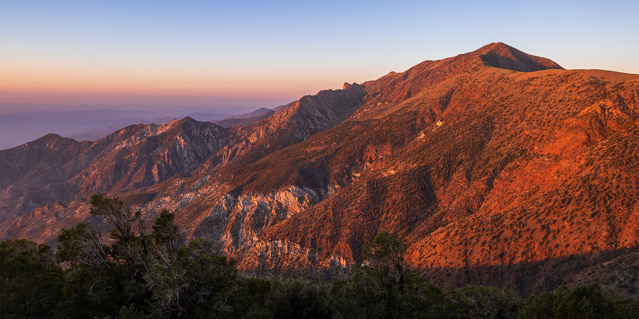
For the past couple of years I have been trying to make plans to hike Telescope Peak, the highest peak in Death Valley National Park, but so far all of those plans had fallen through for one reason or another. However, now that I was in California for the past week, I figured this would be the perfect opportunity for me to finally make it there, although I was a little worried about hiking the peak after spending five days at sea level because it’s been a long time since I’ve been down at this low of an elevation. So, after spending way too much time around way too many people in San Diego this past week, I definitely needed to get back out on a long hike into the wilderness to decompress, so I made sure to take a detour into Death Valley National Park as I started my drive back home to Colorado!

Leave a Comment
White River Narrows & Mount Irish Petroglyphs

Across the Great Basin and Back | The Loneliest Road (Trip) in America
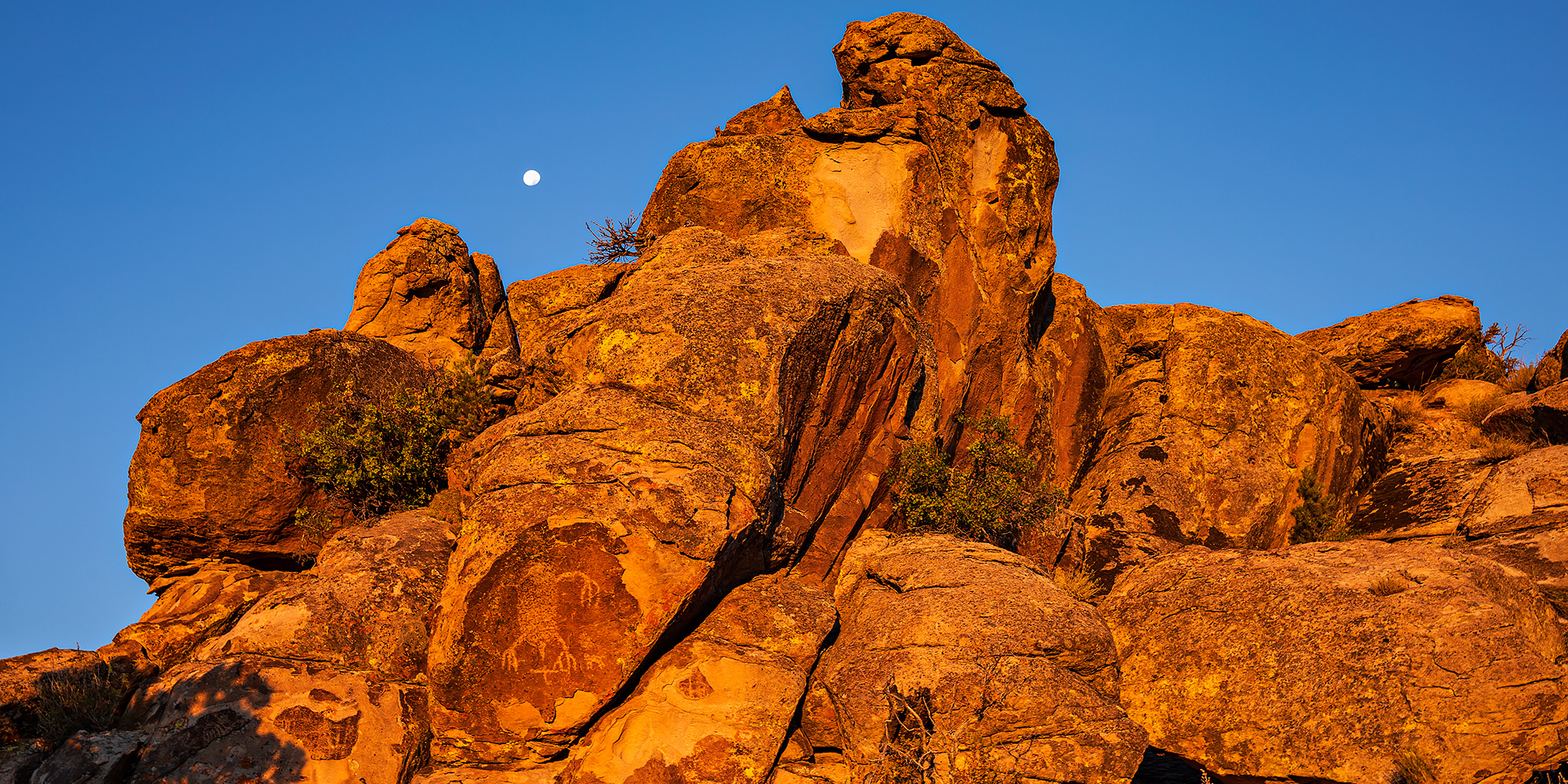
Rock Art of the Basin and Range National Monument
Friday & Saturday, September 4-5, 2020

Once I left the White Mountains behind, it was time to visit a few rock art sites in the Basin and Range National Monument as I drove back home across the Great Basin. After stopping in Tonopah for gas and food I continued east on US Route 6 for a little while until I reached Warm Springs and then turned off onto the Extraterrestrial Highway. If you want to drive a lonely highway, then this is probably the one for you! I didn’t even have cell phone signal for almost the entire stretch! I made my way south past the Nellis Air Force Range and through through the tiny town of Rachel on my way to Crystal Springs in the Pahranagat Valley. By the time I drove up the Logan Canyon Road into the Irish Mountain Range it was already getting pretty dark out and I found a spot to spend the night just below Logan Pass. The temperature was heating up in the desert again with another heat wave spreading across the southwest, so it didn’t cool off very quickly, even at 7,000 feet at night.

3 Comments

The Highest Point in Nevada: Boundary Peak

Across the Great Basin and Back | The Loneliest Road (Trip) in America
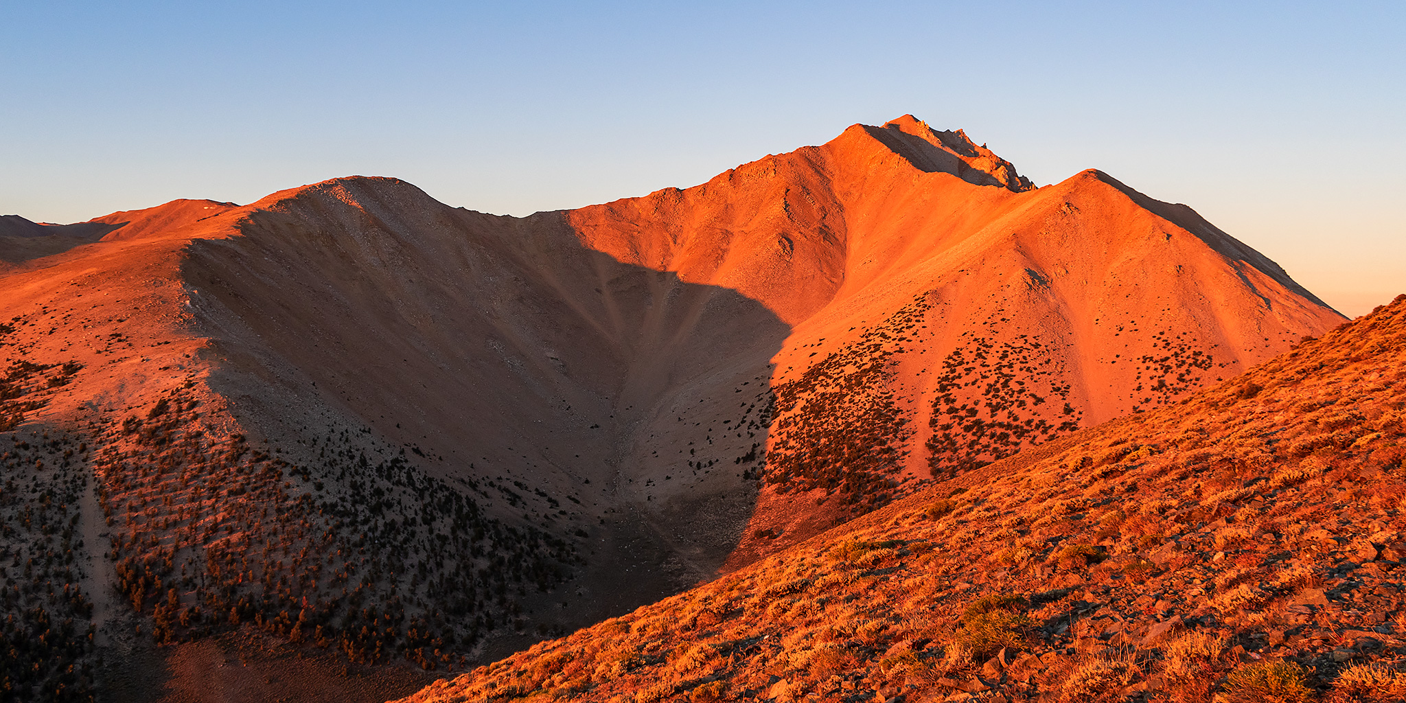
Thursday & Friday, September 3-4, 2020

After hiking to the top of White Mountain Peak in the morning and then stopping in Bishop for food and gas in the afternoon, it was time for me to head back into Nevada on US Route 6 so I could climb Boundary Peak located at the very northern end of the White Mountains. Since I had hiked Wheeler Peak on Wednesday which is considered the ‘highest peak’ in Nevada, I figured that I might as well climb the ‘highest point’ in Nevada too since I was going to be driving right near it. This would be my third peak in as many days and I was hoping that my legs would be up for it!

Leave a Comment

The White Mountains: White Mountain Peak

Across the Great Basin and Back | The Loneliest Road (Trip) in America
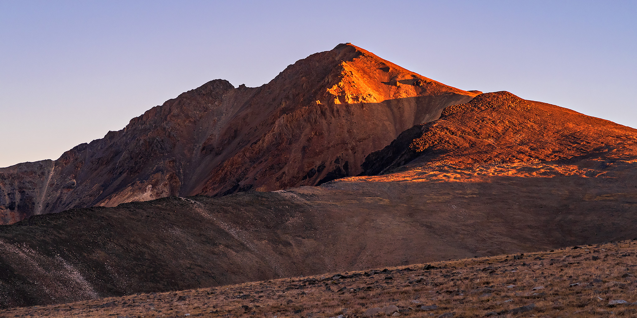
Wednesday & Thursday, September 2-3, 2020

After hiking to the summit of Wheeler Peak in Great Basin National Park on Wednesday morning, I continued my ‘Loneliest Road Trip in America‘ across the Great Basin as I drove to the west end of Nevada. My next destination would be in the White Mountains located along the eastern edge of California so that I could hike to the summit of White Mountain Peak on Thursday morning, which is the third highest mountain in California at 14,252 feet. Since it doesn’t look like I am going to be climbing any 14ers in Colorado this summer, which will be the first time in over ten years for me, I figured that I could at least hike one new 14er in California this year instead! I haven’t hiked in the mountains of California since I did Mount Whitney in 2014, so I was looking forward to returning!

5 Comments