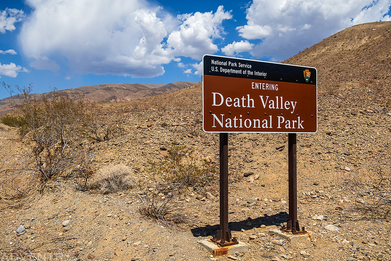
Highpoint of the Panamint Range & Death Valley National Park
Friday & Saturday, July 15-16, 2022
For the past couple of years I have been trying to make plans to hike Telescope Peak, the highest peak in Death Valley National Park, but so far all of those plans had fallen through for one reason or another. However, now that I was in California for the past week, I figured this would be the perfect opportunity for me to finally make it there, although I was a little worried about hiking the peak after spending five days at sea level because it’s been a long time since I’ve been down at this low of an elevation. So, after spending way too much time around way too many people in San Diego this past week, I definitely needed to get back out on a long hike into the wilderness to decompress, so I made sure to take a detour into Death Valley National Park as I started my drive back home to Colorado!
After leaving San Diego late in the morning on Friday, I headed north through San Bernardino and Ridgecrest to the Mahogany Flat Campground at the northern end of the Panamint Range. I was expecting to find the campground packed with people on a Friday afternoon since it’s one of the few places in Death Valley to camp comfortably at this time of the year, yet I was surprised to find it completely empty when I arrived. The temperature was a comfortable 76 degrees in the shade at the campsite I selected, even though it was 112 degrees down in Death Valley less than 20 miles away. There were some nice clouds above that helped block the heat of the sun and also dropped a few sprinkles of rain as I relaxed around camp for much of the afternoon. To help make sure I was acclimated to the elevation as much as I could be in a day, I went for a short hike up the Service Road that eventually leads to the summit of Rogers Peak.
After driving through Panamint Valley on the west side of the Panamint Range, I followed the steep road up Wildrose Canyon into Death Valley National Park.
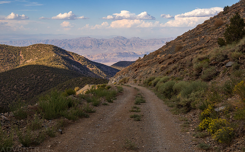
I had a nice view of Wildrose Peak as I went on my evening hike up the Service Road.

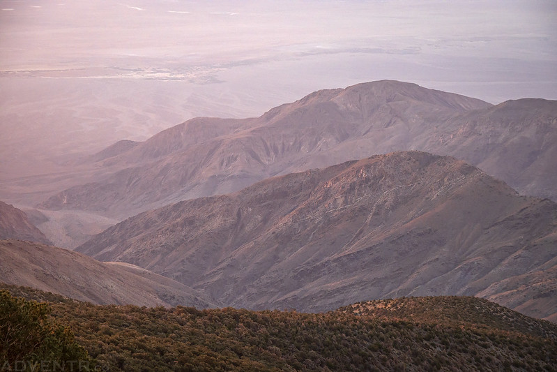
I stopped at the second switchback along the road which offered a nice overlook of Death Valley and Badwater Basin, plus the Amargosa Range on the other side.
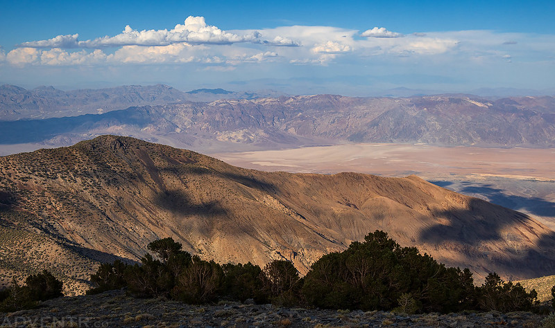
A closer look at Badwater Basin, far below.

The Mahogany Flat Campground is hidden in the trees at the low point of the ridge below.
Following the Service Road back down to camp.
Shortly before sunset I went for another walk on the Telescope Peak Trail hoping for some nice views, but there were none along the first part of the trail since it was in the trees.

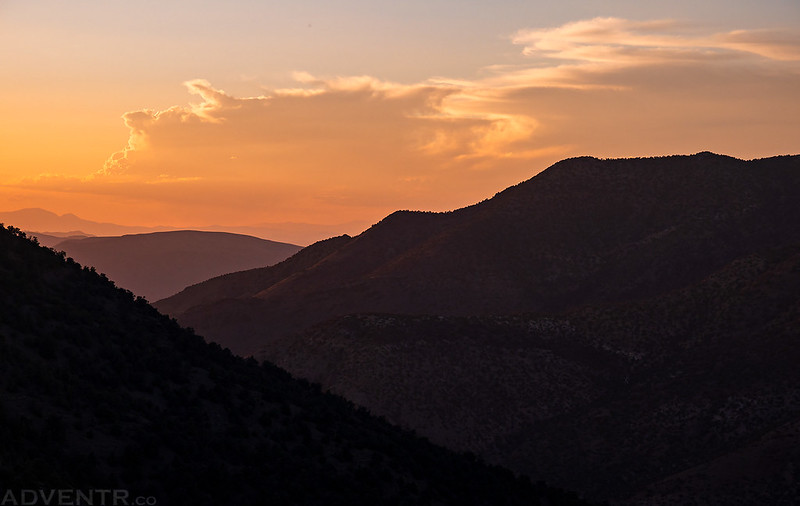
Evening clouds and colors from camp.
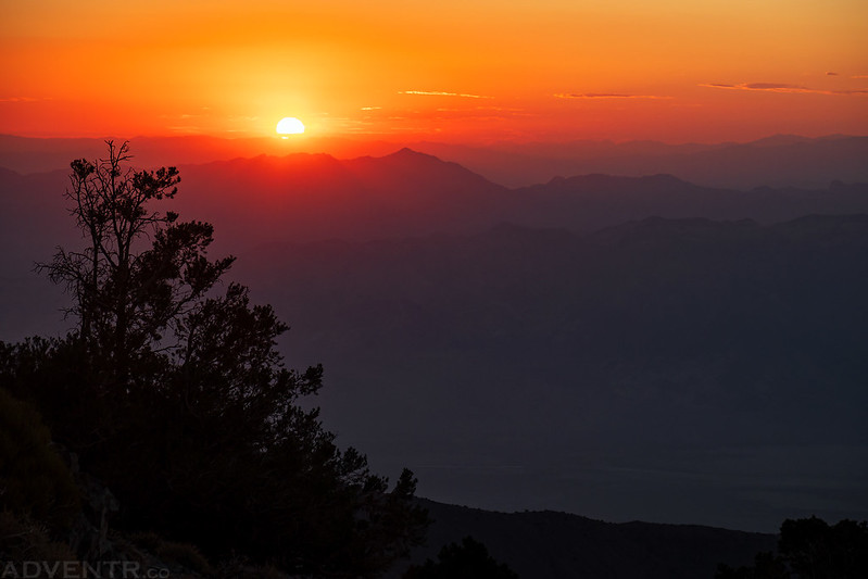
On Saturday morning I was up before sunrise and on the trail before 5:00am.

I broke out of the trees just in time to watch the sun come up over the horizon behind me.
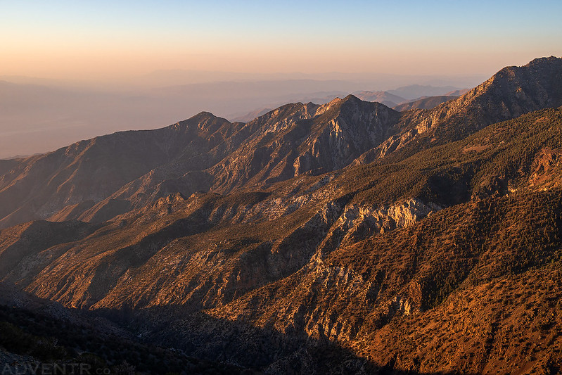
Looking down into Hanaupah Canyon as the smoke and haze in the air made for colorful conditions.

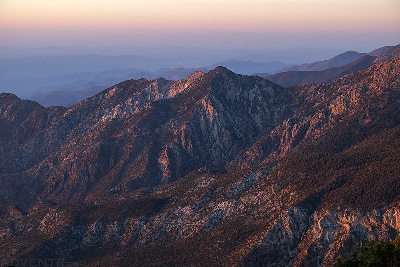
Morning light on the east side of the Panamint Range.
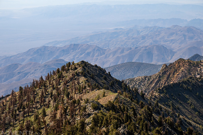
Hanaupah Canyon Ridges
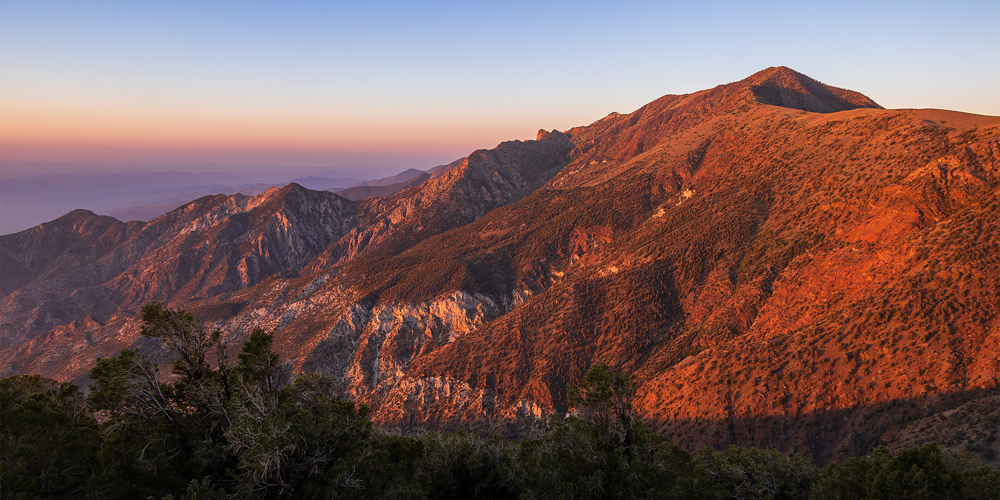
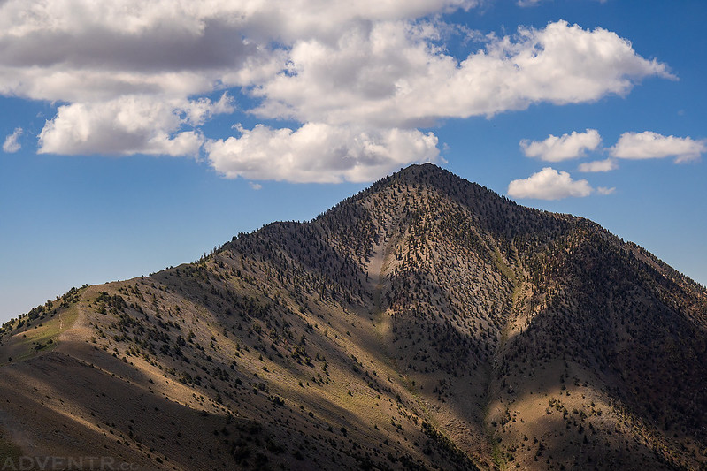
Warm-colored morning light strikes Telescope Peak (11,048) as I continued up the trail to the ridge.
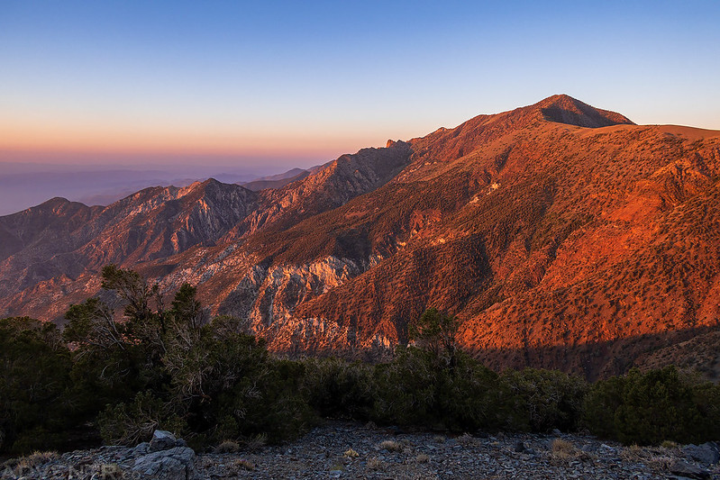
I love watching the color of the light change during sunrise.
Telescope Peak was not looking that far away from me at this point, but I guess the distances were deceiving since I still had a long way to go…

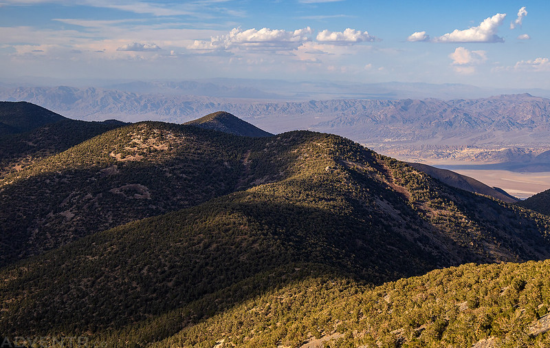
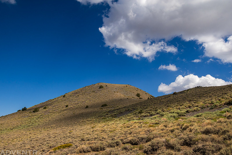
Once I reached the Arcane Meadows at the saddle, the trail traversed around the west side of Bennett Peak where I had views down into Panamint Valley.

Hazy textures of the Panamint Valley.

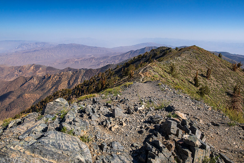
It sure seemed like I was getting closer to Telescope Peak, but the trail kept going and going…

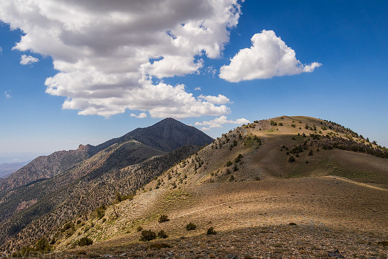
Looking back to Bennett Peak (9,980) and Rogers Peak (9,980).

Large dead trees along the trail as it started switchbacking up the northeast ridge of Telescope Peak.

Finally, I am really almost to the summit now!

Telescope Peak Summit
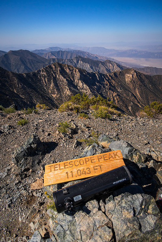
Here’s a view from the summit looking south over the spine of the Panamint Range.

Smoky Death Valley
Panamint Peaks

After enjoying the views from the summit for a while, it was time to turn around and head back down the trail.
On my way back some clouds started to build over the mountain peaks.
I left the trail and followed this ridge to the summit of Bennett Peak.
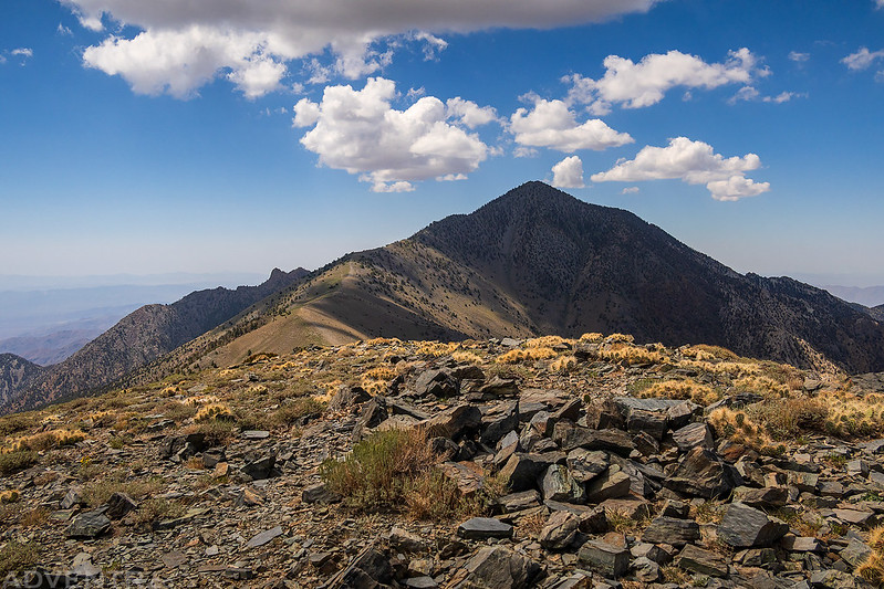
On the summit of Bennett Peak looking back to Telescope Peak.
I followed the ridge down the other side to the Arcane Meadows, crossed the trail and then slowly hiked up to the summit of Rogers Peak since my legs were getting pretty tired at this point. When I crossed the trail I met the only other two hikers that I would see all day.

Looking back past Bennett Peak to Telescope Peak as I hiked up to Rogers Peak.
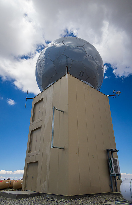
There are a number of antennas and this Navy Radome on top of Rogers Peak since it’s the only non-wilderness highpoint in Death Valley National Park. That’s also why there is a Service Road up to this peak, which I planned to take back down to the trailhead.
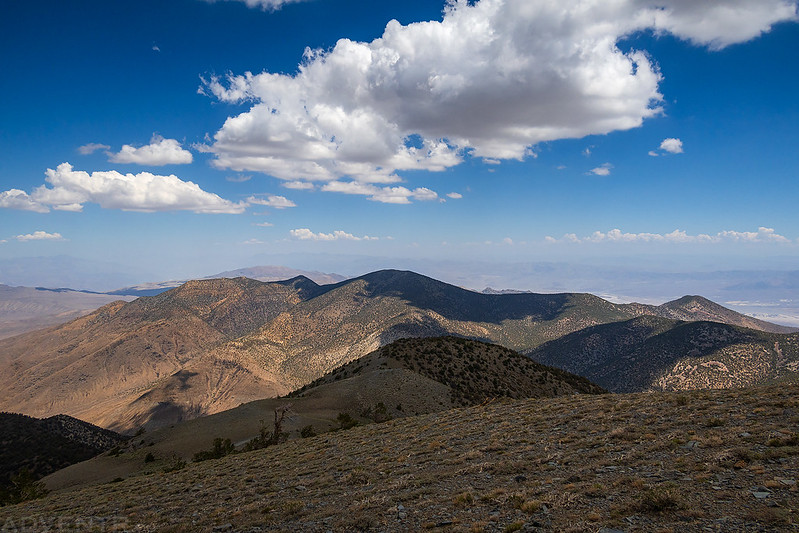
The sun was beginning to get warm later in the morning, so I was glad to hike back down mostly in the shade from the building clouds.
Following the Service Road down to Mahogany Flat.


One last view over Death Valley.

After returning to my Jeep at camp it was time to start driving back across Nevada. From Wildrose Canyon I headed over Emigrant Pass and then followed the Emigrant Canyon Road down to Stovepipe Wells and down below sea level in Death Valley. I had hiked to over 11,000 feet just a few hours ago and had now descended down to 100 feet below sea level in just a matter of miles. As I crossed the Devils Cornfield, the thermometer on my Jeep rose to 120 degrees at the lowest point of the valley before I headed up into the Amargosa Range and over Daylight Pass to Beatty and Tonopah as I made my way back across the Great Basin.