Moab Area Rock Art XXXII | Saturday & Sunday, December 23-24, 2017
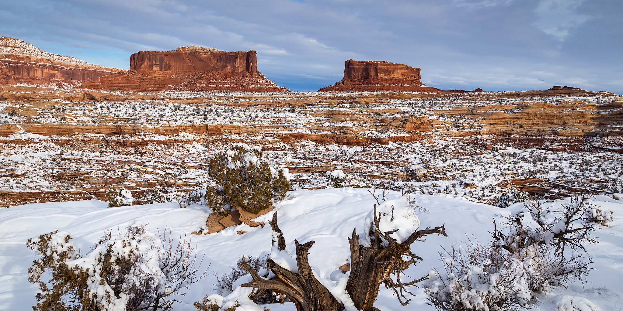
Since we were planning on spending our Christmas in Arches National Park like we do every year, we headed over to Moab on Saturday morning so we could spend the entire holiday weekend in the area. Earlier in the week when I was finalizing our rough plans for the trip I was expecting that there would still be none to minimal snow on the ground for our trip because even though there was a winter storm predicted toward the end of the week, I really didn’t think it would affect the area too much. Boy, was I wrong! Well, actually I was right about the Grand Junction area since we didn’t get any snow that stuck around, however, the storm seemed to be centered right over the area surrounding Moab and dumped about 6-10 inches there! We tried to continue on with our original plans at first, but we ended up having to cancel or change some of the hikes since they would have been too dangerous with all the snow and ice on the ground, even with our microspikes. In the end I acted as a tour guide for Diane as we revisited many easily accessible rock art sites that I hadn’t been to in a while.
1 Comment