Press "Enter" to skip to content

Tag: rapids

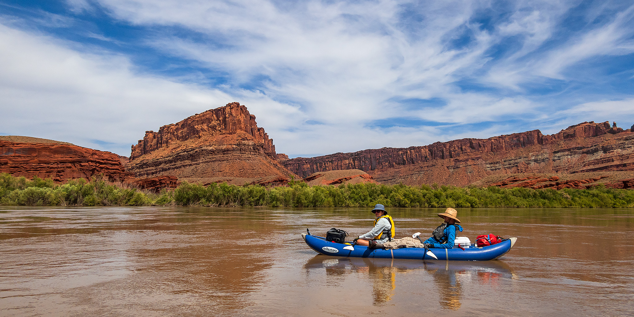
Floating the Moab Daily Section of the Colorado River

Professor Valley: Hittle Bottom to Take-Out Beach | Colorado Riverway Recreation Area
Saturday, June 27, 2020 | Average CFS: 5,920

After spending all of last weekend moving into a new house, it was time to get back outdoors and on the river again! A couple weekends ago Jackson, Chris and I were hoping to float the Moab Daily section of the Colorado River through Professor Valley, but the weather and wind prevented us from doing that, so we thought this would be a good weekend to try again since the weather was looking much better. Although I have floated the Moab Daily once before, that was over ten years ago on Labor Day and I was just along for the ride in a friend’s raft, so I was looking forward to doing it in my own inflatable kayak this time.

Leave a Comment

North Fork of the Gunnison River

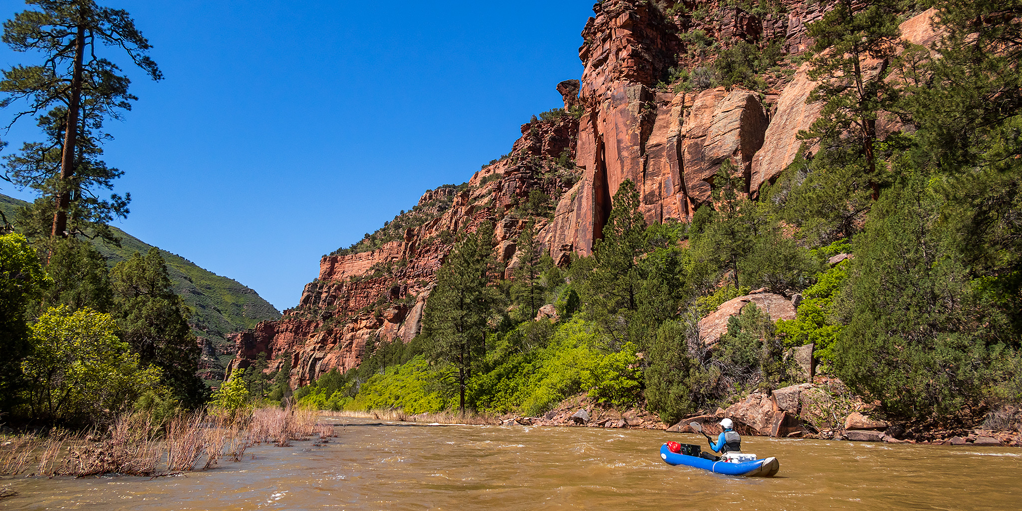
Paonia River Park to the Gunnison Forks Recreation Site
Independence Day | Thursday, July 4, 2019

This year for the Fourth of July I was looking to go on one last river trip before I started heading into the mountains for the summer season. Since I only had one day off from work for the holiday I wanted to go somewhere close to home and on a river that was still not running too high, which was hard to find this year! On Wednesday afternoon Jackson, Chris and I decided that we would give the North Fork of the Gunnison River a try from the Paonia River Park to its confluence with the Gunnison River. The North Fork of the Gunnison is formed just below the Paonia Reservoir by the confluence of of Muddy Creek (not that Muddy Creek) and Anthracite Creek, which originates in The Raggeds of the West Elk Mountains. Since we have already floated most of the Gunnison River from Pleasure Park to Whitewater, we thought it would be nice to work our way further up the North Fork and finally check it out.

2 Comments

River of Sorrows: The Dolores River

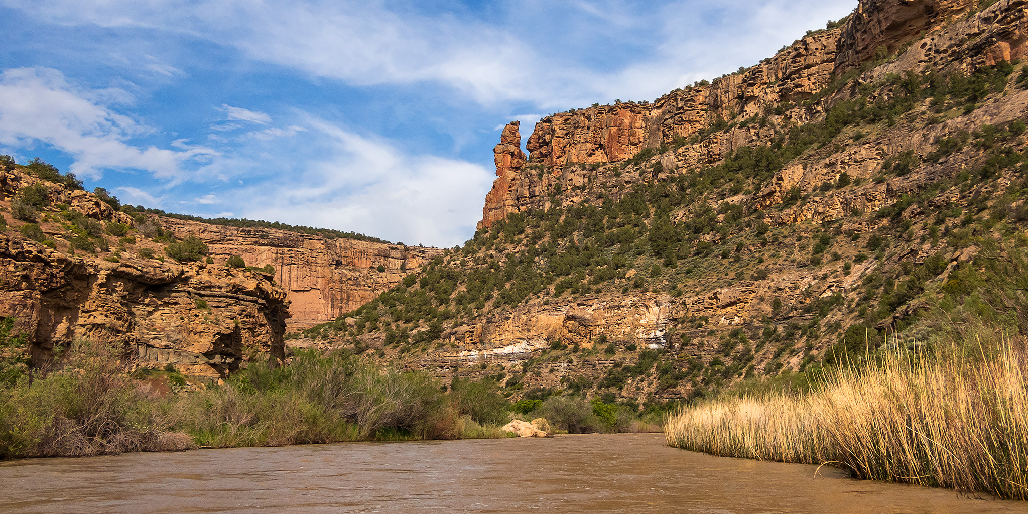
Slick Rock Canyon | Big Gypsum Valley to Bedrock
Friday – Saturday, June 14-15, 2019

Early Spanish explorers called it El Rio de Nuestra Señora de Dolores, or the River of Our Lady of Sorrows translated into English. Today it’s known as the Dolores River, which begins as snowmelt high up in the San Juan Mountains near Bolam Pass and empties into the Colorado River in Utah after traveling through the canyon country of western Colorado. For a long time I have wanted to float the Dolores River through Slick Rock Canyon, which begins at Big Gypsum Valley and ends at Paradox Valley, but since the water of the river is usually siphoned off at the McPhee Reservoir upstream there is typically only a very short window of time to actually do it, if there is any opportunity at all! So far I had never been able to make the timing work for a trip, however, with the high snowpack in the San Juan Mountains this year it looked like I was finally going to be able to get my chance!

2 Comments

The Lower San Juan River

Mexican Hat to Clay Hills Crossing
Tuesday – Saturday, May 12-16, 2015

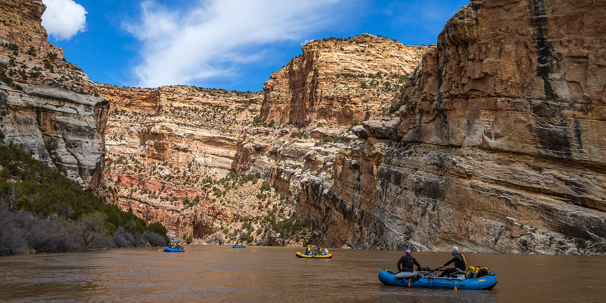
For the past two years a few friends and I have floated the upper section of the San Juan River from Sand Island to Mexican Hat during the month of May. It’s a very nice section of river, but this year we wanted to do something different, so we attempted to get a permit for the lower section of the San Juan River from Mexican Hat to Clay Hills Crossing. My friend Jackson was lucky in the permit lottery and we received our first choice of dates on the river, plus we were even able to secure our preferred reserved campsite, too. For once our plans came together nicely and easily!

8 Comments

The San Juan River

Sand Island to Mexican Hat
Wednesday – Friday, May 8-10, 2013

I have wanted to get on the San Juan River for a while, but because of the permit system in place I have never really tried. This year I decided it was finally time to try and secure a permit for myself and a few friends from work. Unfortunately, we didn’t manage to get any permits from the original lottery. However, I was able to grab an opening at a later date. We had originally wanted to try and do the whole stretch of the San Juan from Sand Island to the Clay Hills Crossing, but the permit we were able to get only let us go to Mexican Hat on this trip.

2 Comments