Press "Enter" to skip to content

Tag: no thoroughfare canyon

No ThoroughFALL Canyon

Fall Colors 2017 | No Thoroughfare Canyon
Monday, October 16, 2017

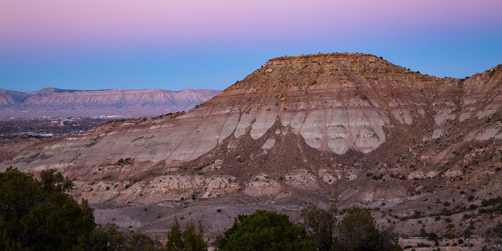
No, the big canyon located at the east end of the Colorado National Monument hasn’t had a name change, it’s still named No Thoroughfare Canyon. But since I went on a short hike into the canyon this evening to check on the fall colors of the cottonwoods, I thought it was a fun take on the name. I try to head up into the Colorado National Monument each October to catch the cottonwoods changing colors, and as you can see from the photos below they were coming along nicely!

2 Comments

Between Red & Ute Canyons

Sunday, May 7, 2017

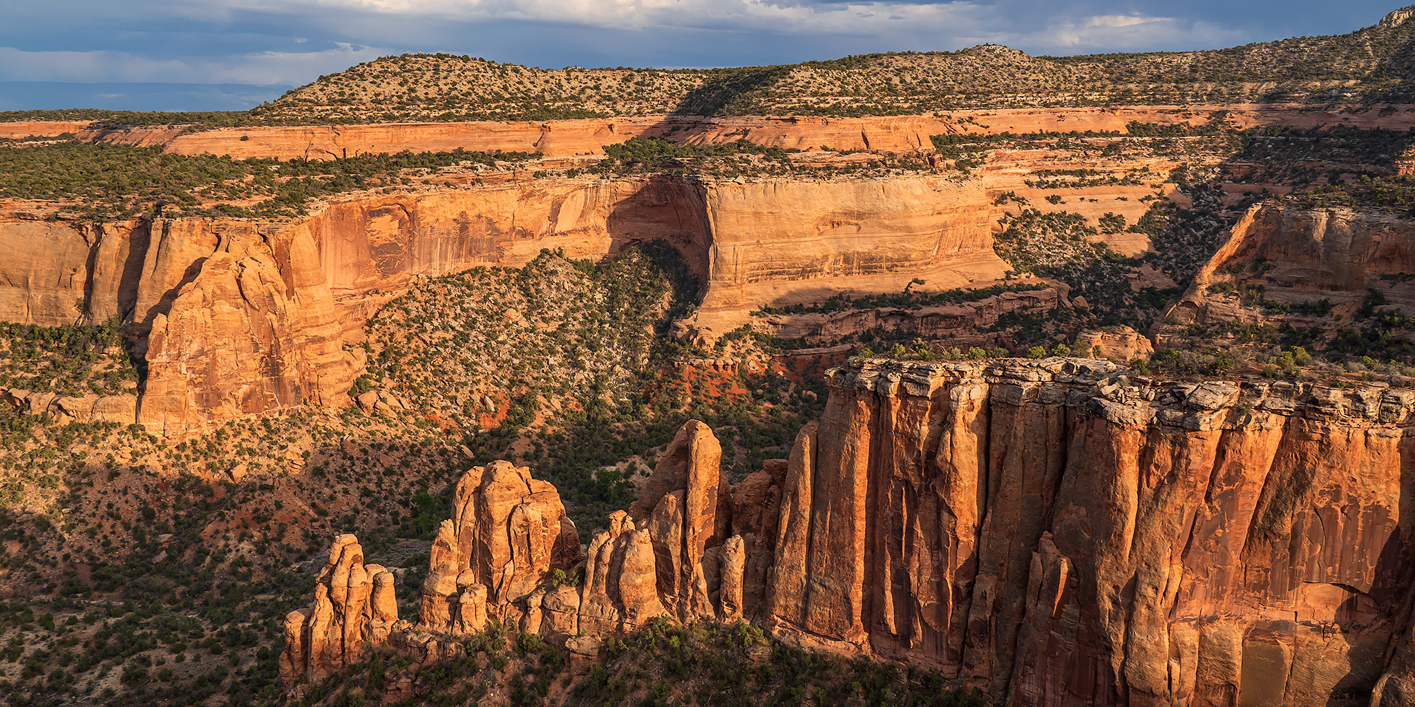
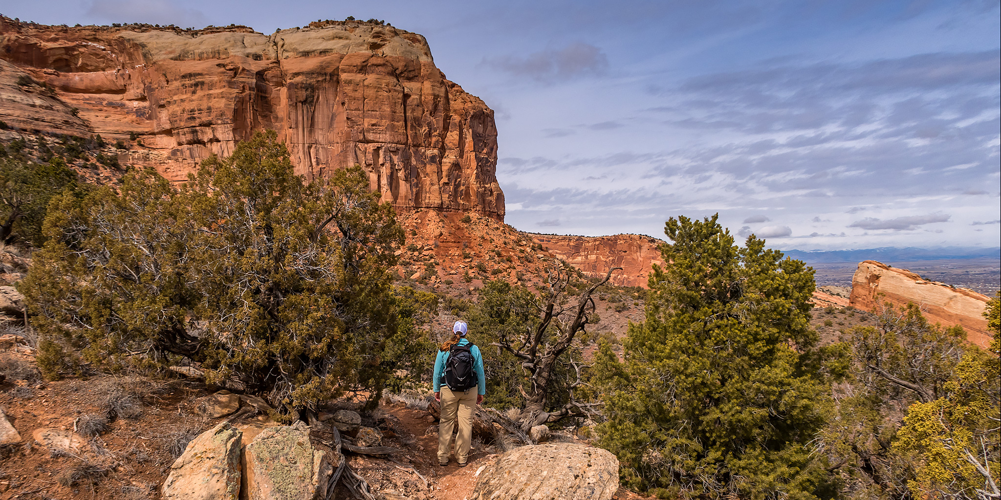
Since our plans of camping the previous night in the Yellow Cat area had fallen through, we decided to spend a few hours at the Colorado National Monument on Sunday evening instead. There had been stormy weather on and off all day, but it looked like it was finally starting to clear out enough by late afternoon. We started out by hiking and exploring part of the mesa between Red Canyon and Ute Canyon. I had hoped to hike further out to the point, but thunderstorms had moved into the area again so we didn’t stray too far from the Jeep. I guess that means we will have to return another time. Afterwards, we went on another short hike into the upper portion of Red Canyon that I’ve driven past numerous times and always thought might be interesting to check out. Then before heading back home we stopped at a couple overlooks along Rim Rick Drive on our way out of the Monument. It was another nice evening in the Monument, but it was very humid out!

Leave a Comment

Point 5750 (Eagle’s Wing)

Sunday, March 26, 2017

After spending Saturday hiking in the backcountry of Arches National Park we spent most of Sunday at home getting stuff done around the house and resting after a couple of busy weeks. Throughout the day I noticed that the clouds in the sky were looking pretty nice so we decided to go out for a short evening hike for sunset. I figured we could visit Point 5750 which is a high point in Mesa County located just outside of the Colorado National Monument that I have wanted to visit for a while. It’s easy to access this high point since it’s just a short distance off of the Eagle’s Wing Trail, one of the many Tabeguache (Lunch Loop) trails in the area.

Leave a Comment

Colorado National Monument Photos

Thursday, September 22, 2016

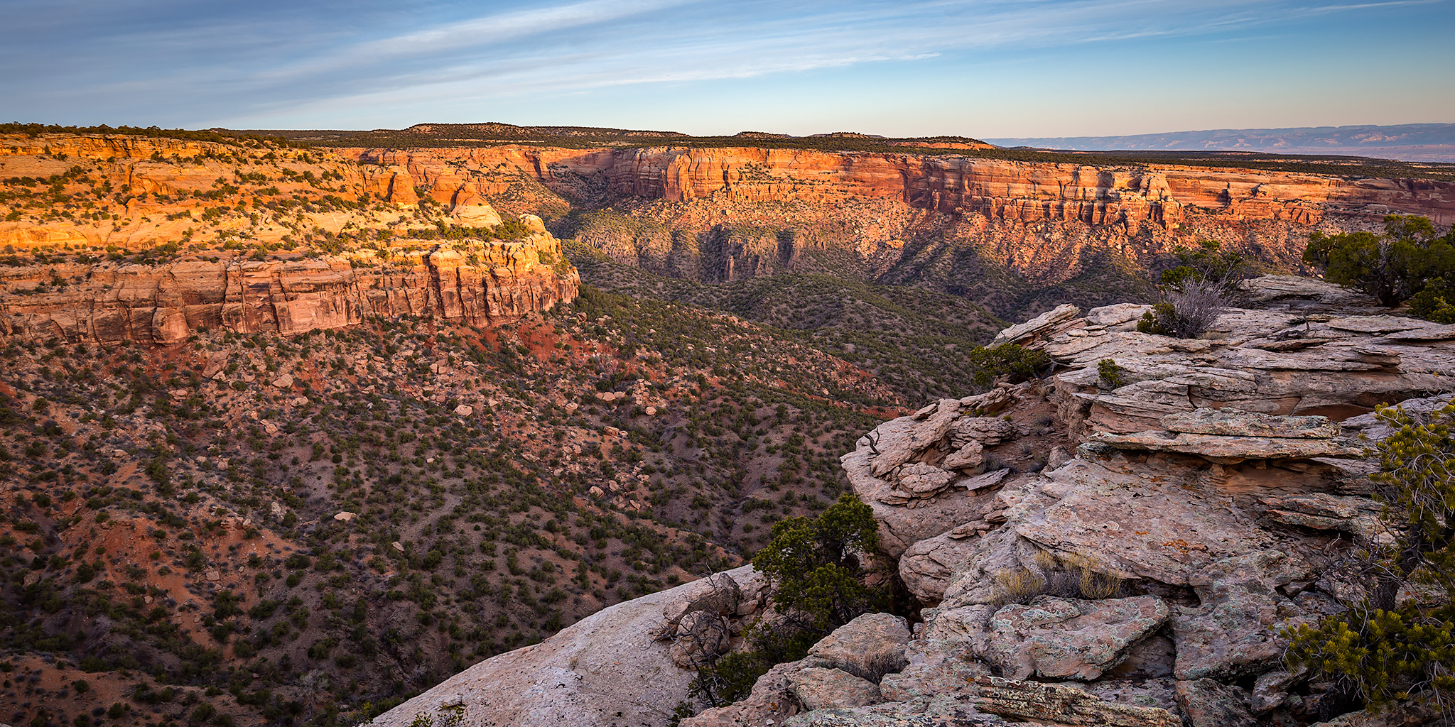
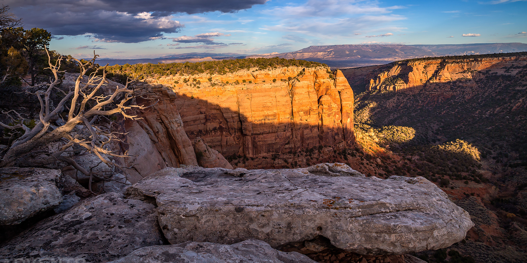
After work I grabbed my hiking gear and started heading out to Rabbit Valley so I could hike to another summit in Mesa County, but as I was driving west on I-70 I noticed the sky was much cloudier and darker out that direction and I was concerned about the weather I would encounter. It appeared that the edge of the storm system moving through the area was over Fruita and Grand Junction and it looked like I’d have better luck closer to town this evening. So when I reached the Fruita exit I decided to get off and head up into the Colorado National Monument instead. The clouds and sky were nice for a few photos during my drive through the western portion of the park, plus I still got a little hiking and exploring in. Here’s a few photos from the evening.

Leave a Comment