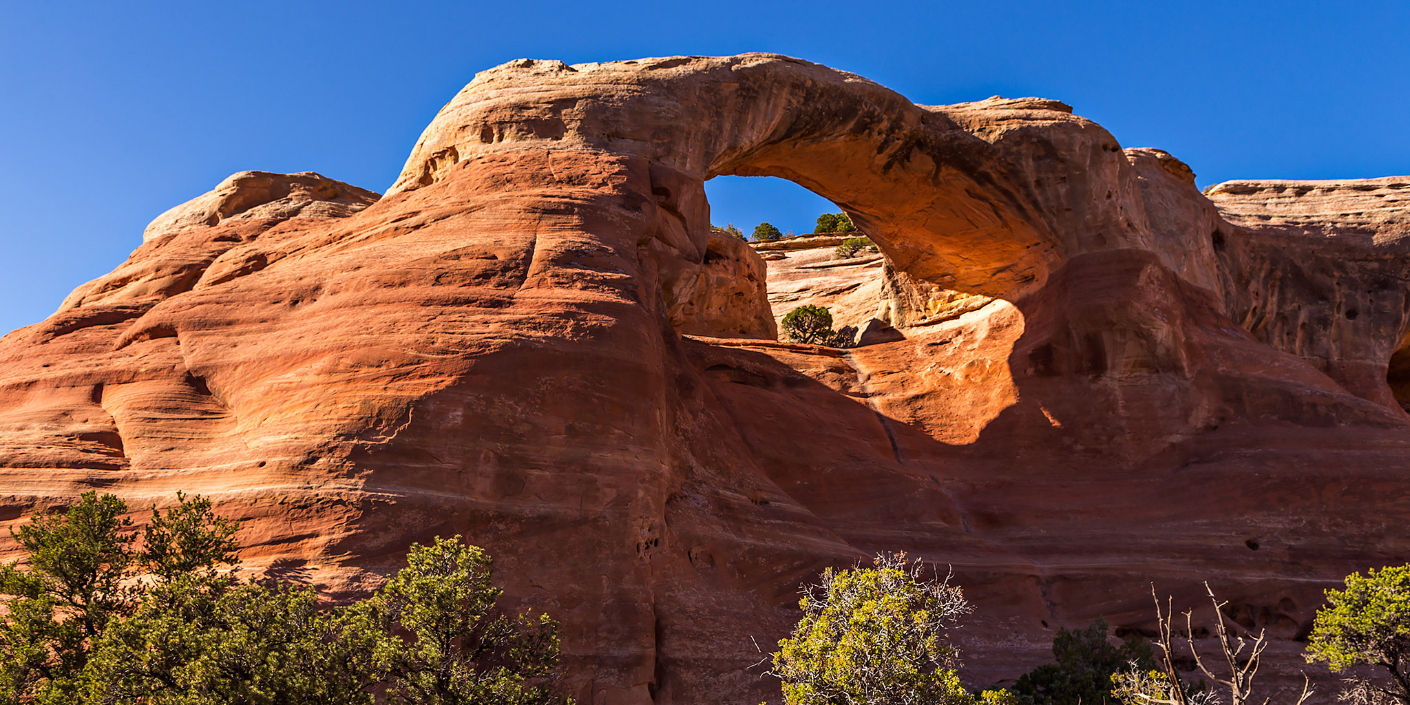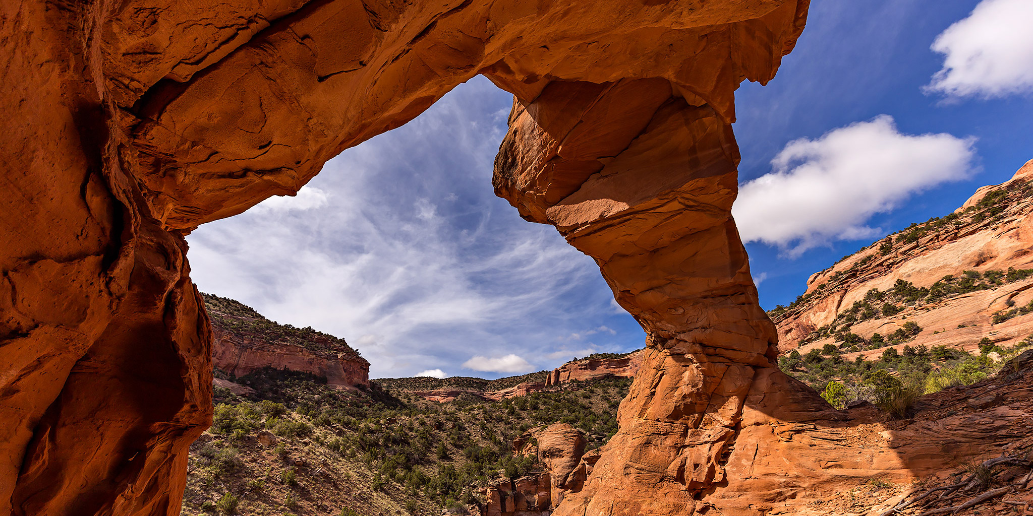
Liberty Bell Arch
Sunday, May 10, 2015
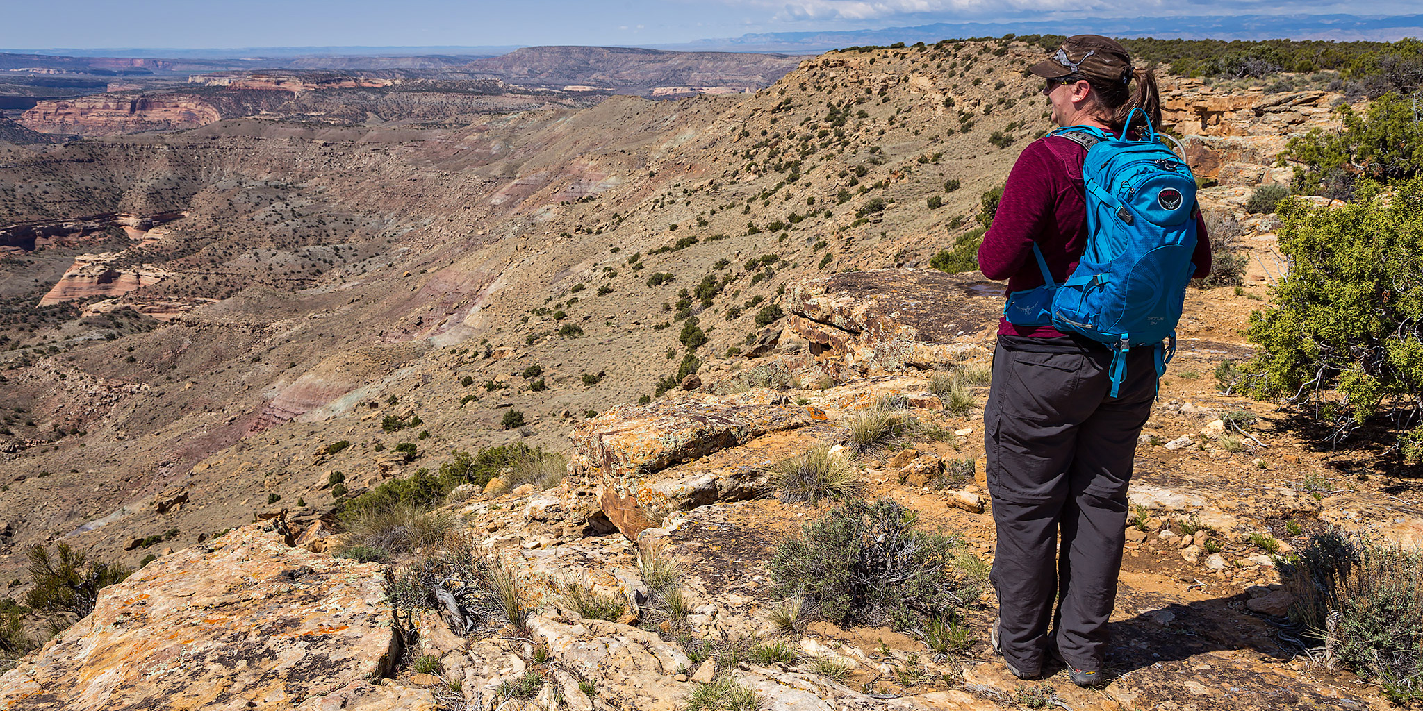
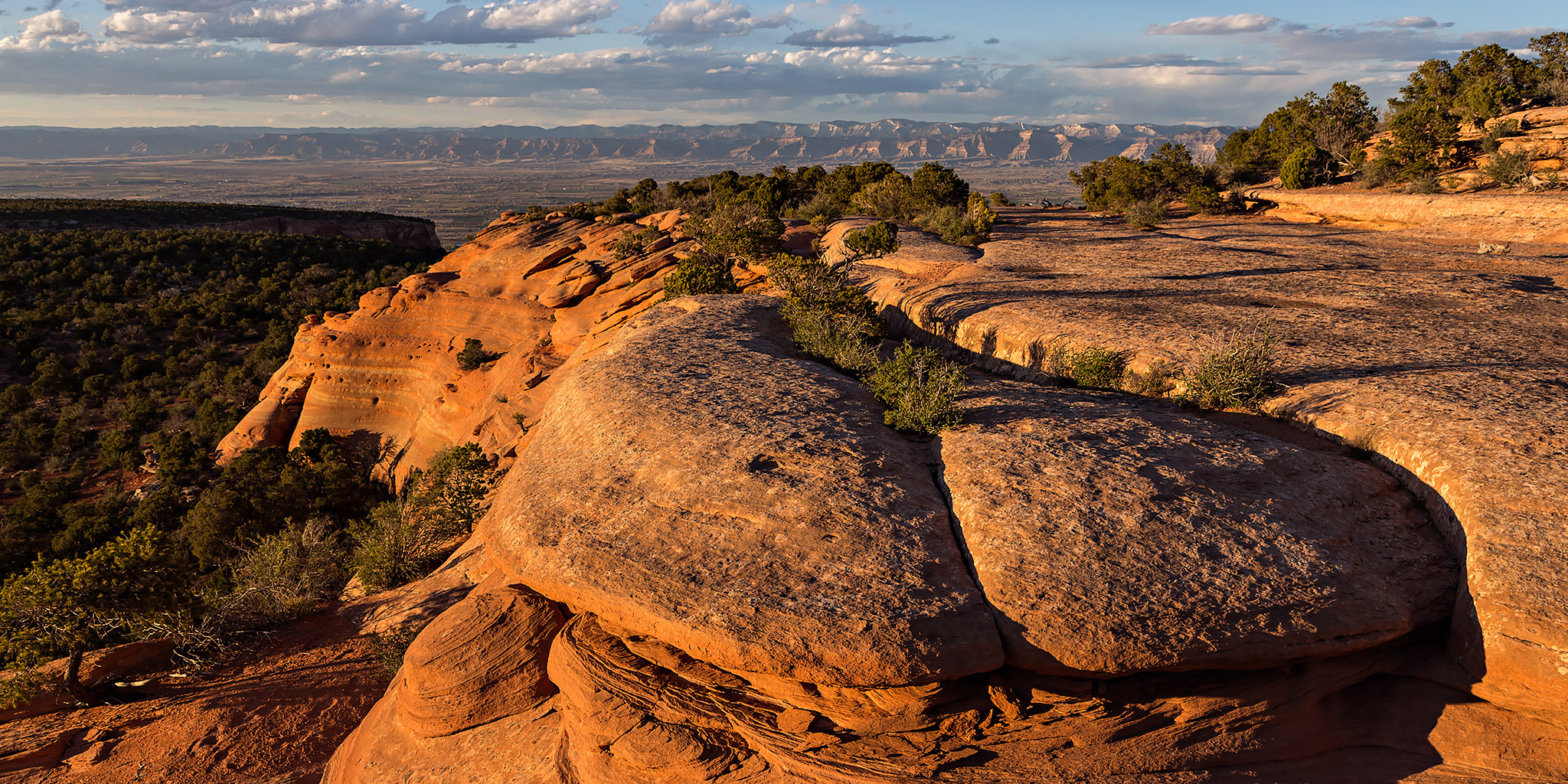
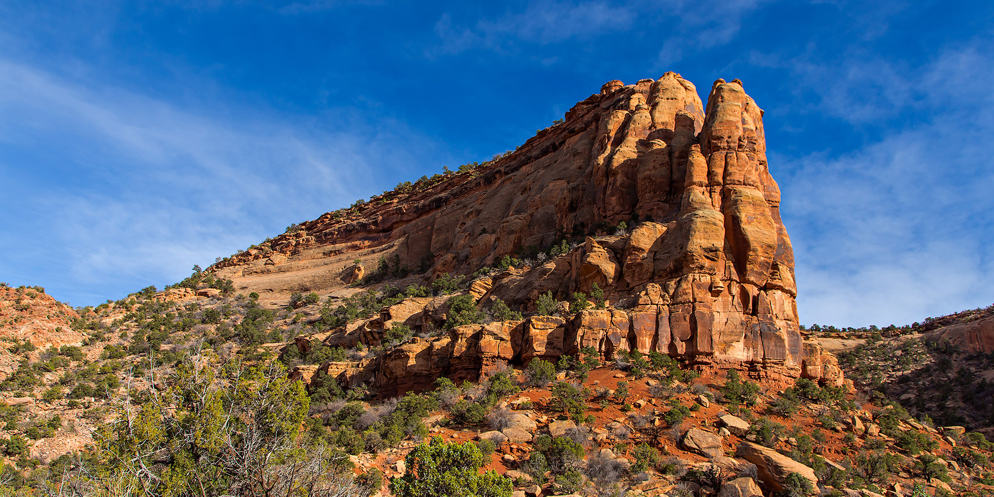
After spending the last two weekends backpacking in Grand Gulch I needed to spend a more relaxing weekend at home so I could start preparing for an upcoming trip on the San Juan River later this week. It had rained on and off all day on Saturday, but it looked like things might start finally clearing up on Sunday morning and I wanted to get out for at least one local hike this weekend. A few weeks back when I had hiked into the East Fork of Pollock Canyon I had run into Steve Obser, another local hiker, who had mentioned a nice arch in the upper section of the canyon that is known as Liberty Bell Arch (I have recently seen this same arch called Pollock Arch and Picture Window Arch). I thought that this arch might make for a nice destination this morning, so I decided to hike into the upper Pollock Canyon for a little exploring. After looking at my maps, it looked like hiking up the trail through Flume Creek Canyon and then crossing over the saddle at the far end of the Pollock Bench would be the shortest route into the upper canyon, so that’s the way I went. It was a pretty straight-forward hike and got me where I wanted to go, though I’m not really sure if it saved me much distance or elevation gain. I ended up hiking about 9.3 miles round trip this morning.
4 Comments