Heart of the World | Tuesday, December 9, 2025
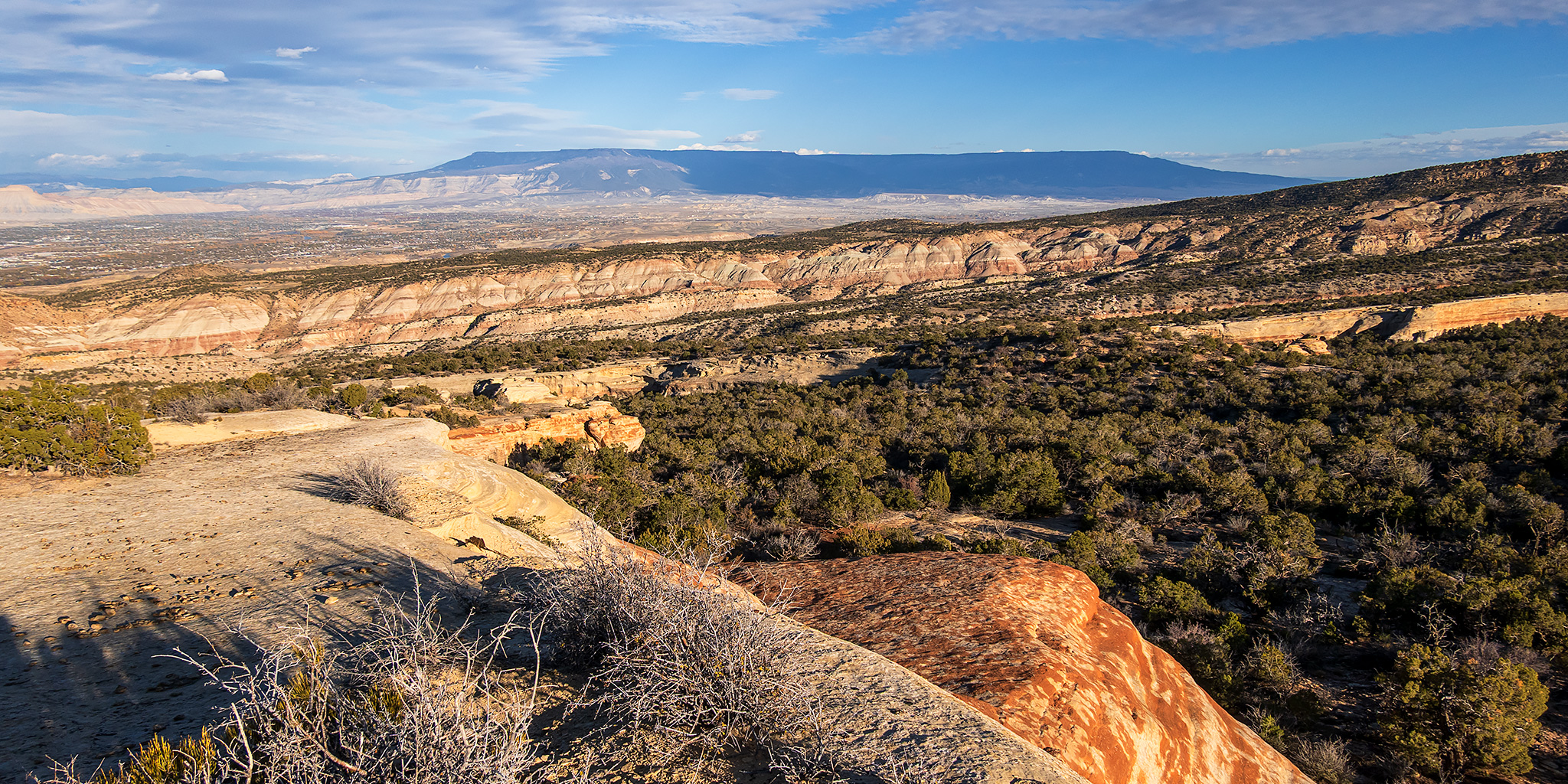
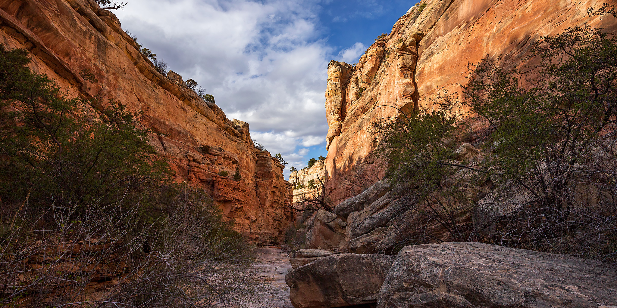
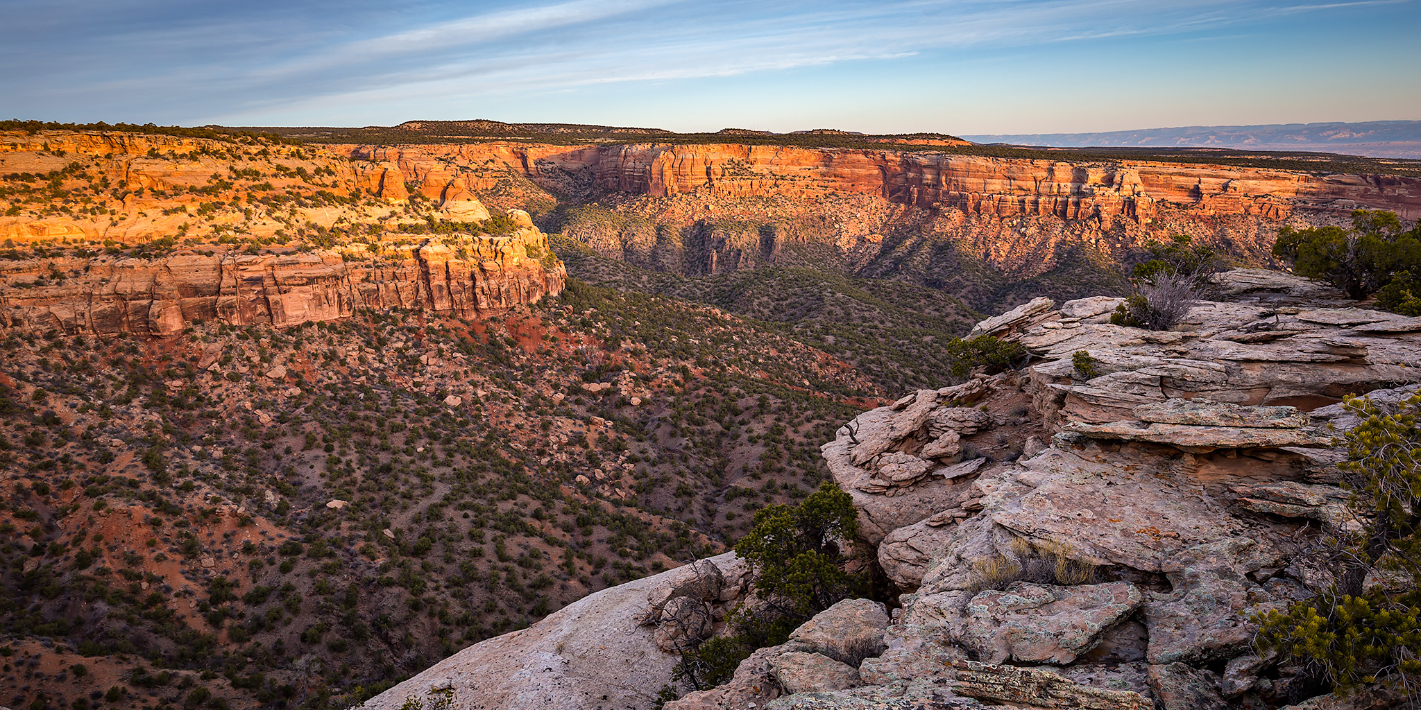
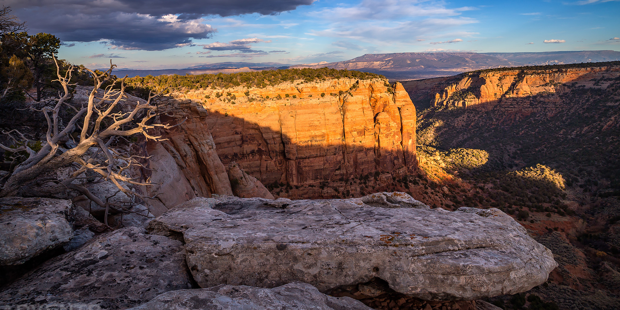
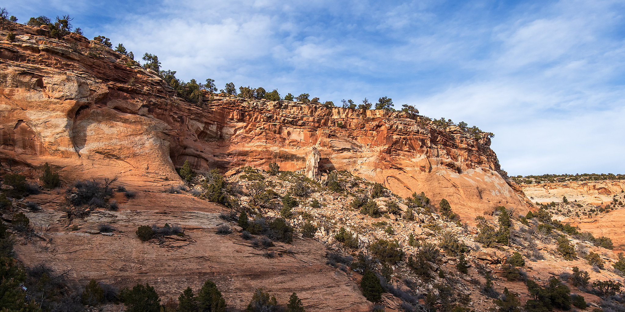
Well, here it is! This is my last hike in the Colorado National Monument for my Heart of the World project and I managed to finish them all up before the end of the year! To be honest, I did have some time when I could have completed this final hike in November, but I purposely waited until December so I could get in a hike during each month of the year, which wasn’t a goal when I initially started this project back on New Years Day, but it just kind of happened naturally and I decided to stick with it about halfway through the year. I guess that waiting until December was a little too late for this particular hike since the trail was covered with some snow in the shaded areas by now, but I figured that might be the case and brought along my microspikes. As much as I would have liked to have hiked the entire length of No Thoroughfare Canyon for this project, the days are just too short at this time of the year for me to squeeze that kind of hike in after work, plus the only section of an ‘official’ trail in Upper No Thoroughfare Canyon are the switchbacks at the very top, so I figured I would be good just hiking down the trail a few miles and then returning the same way.
1 Comment