Press "Enter" to skip to content

Tag: gpx

Plateau Creek: Spring Runoff from the Grand Mesa

Fleming Point to Big Wash | Average CFS: 1,385
After Work Adventures | Tuesday, May 23, 2023

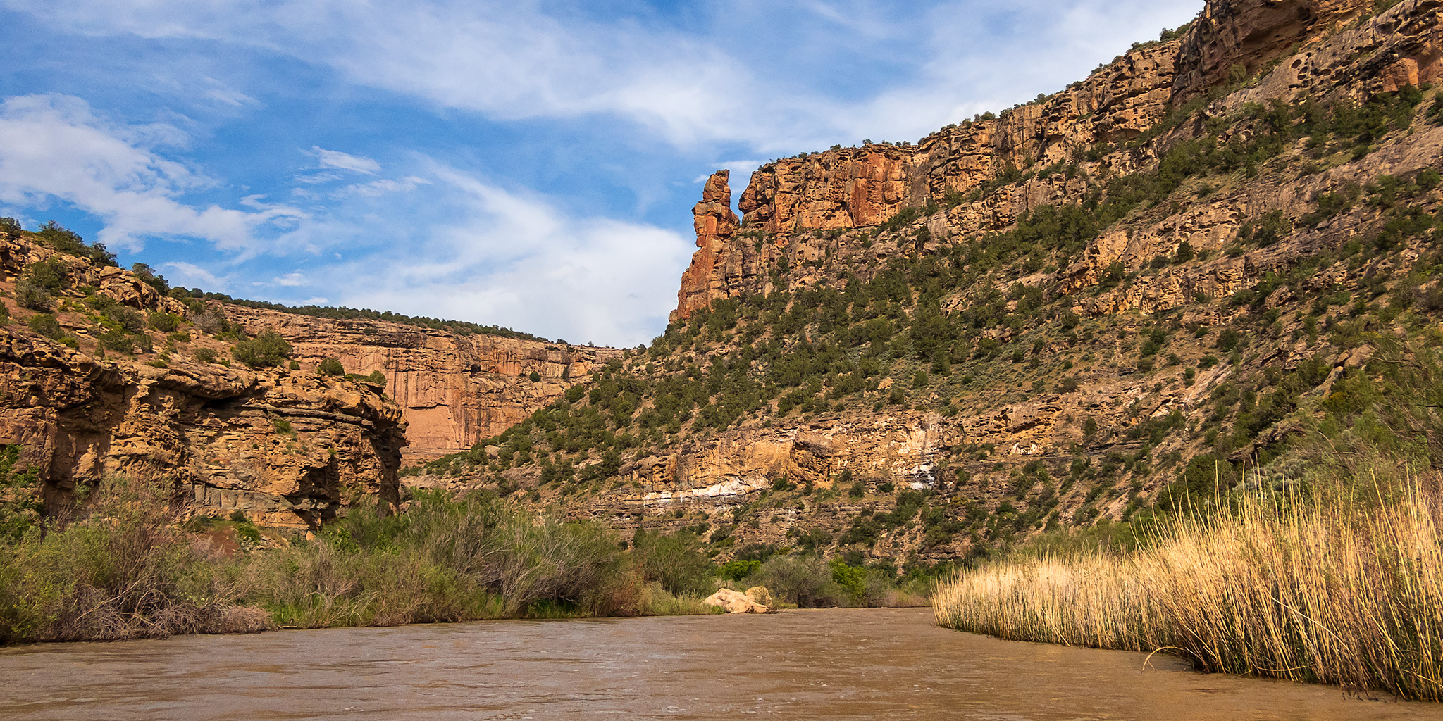
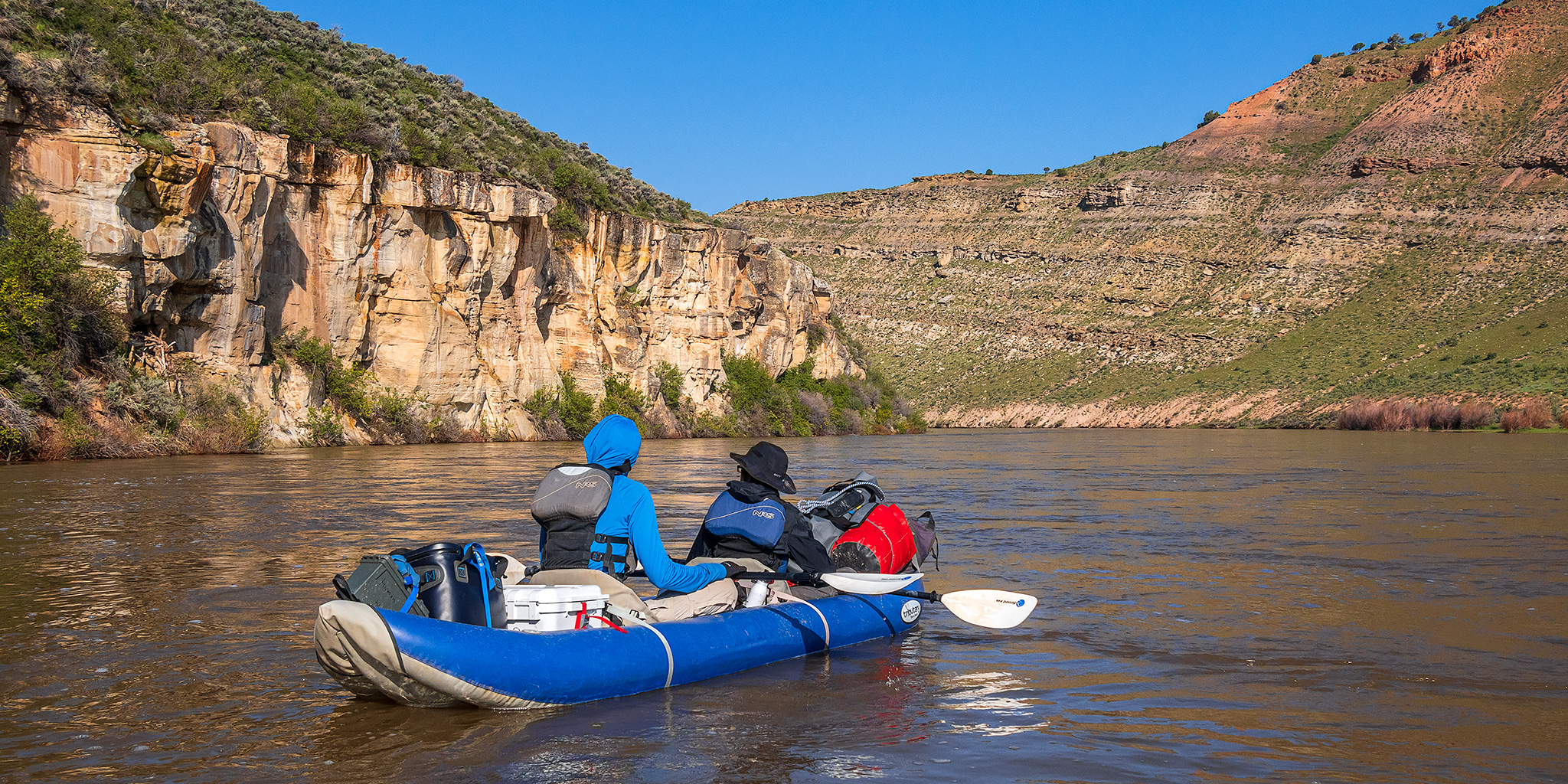
While Jackson and I were floating through Little Yampa Canyon a few days ago we were talking about where we wanted to go next and decided that it was finally time for us to paddle down Plateau Creek after work this week. This is a creek that is very close to home that we have wanted to check out for quite a long time, but some years it’s hard to catch enough water to make it happen during the short spring runoff window. This year happens to be one of those rare years where there is enough water up on the Grand Mesa to get on Plateau Creek for an extended period of time and we wanted to take advantage of that opportunity. We left from work, dropped off a car at the mouth of Big Wash, where we planned to take-out, and then drove up the canyon a couple more miles to a put-in just below Fleming Point.

Leave a Comment
Little Yampa Canyon: South Beach to Duffy Mountain

Floating the Yampa River Through Duffy Mountain | Average CFS: 14,140
Saturday & Sunday, May 20-21, 2023

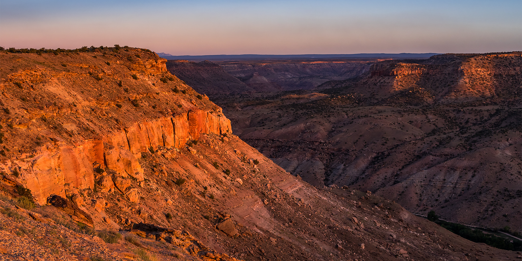
With the big snowpack in the mountains of Colorado this year I decided to take a little break from hiking and backpacking during the months of May and June so that I could try to get out onto the rivers as much as possible this season. This weekend Jackson and I were looking to get out on an overnight trip and were initially thinking about trying to catch some of the ephemeral desert rivers in Utah, but that wouldn’t logistically work out for us this weekend and we turned our attention back to the Yampa River in Colorado’s Great Northwest. After looking over maps of the area we settled on trying out a section of the Yampa that is just west of Craig and known as Little Yampa Canyon or Duffy Canyon. This 33 mile stretch of the Yampa River carves it’s way through Duffy Mountain and is all flat water. Since we were unfamiliar with this section of the river we were a little concerned that it’s easy nature might change at the high water levels it was currently seeing, but we decided to check it out anyway.

Leave a Comment

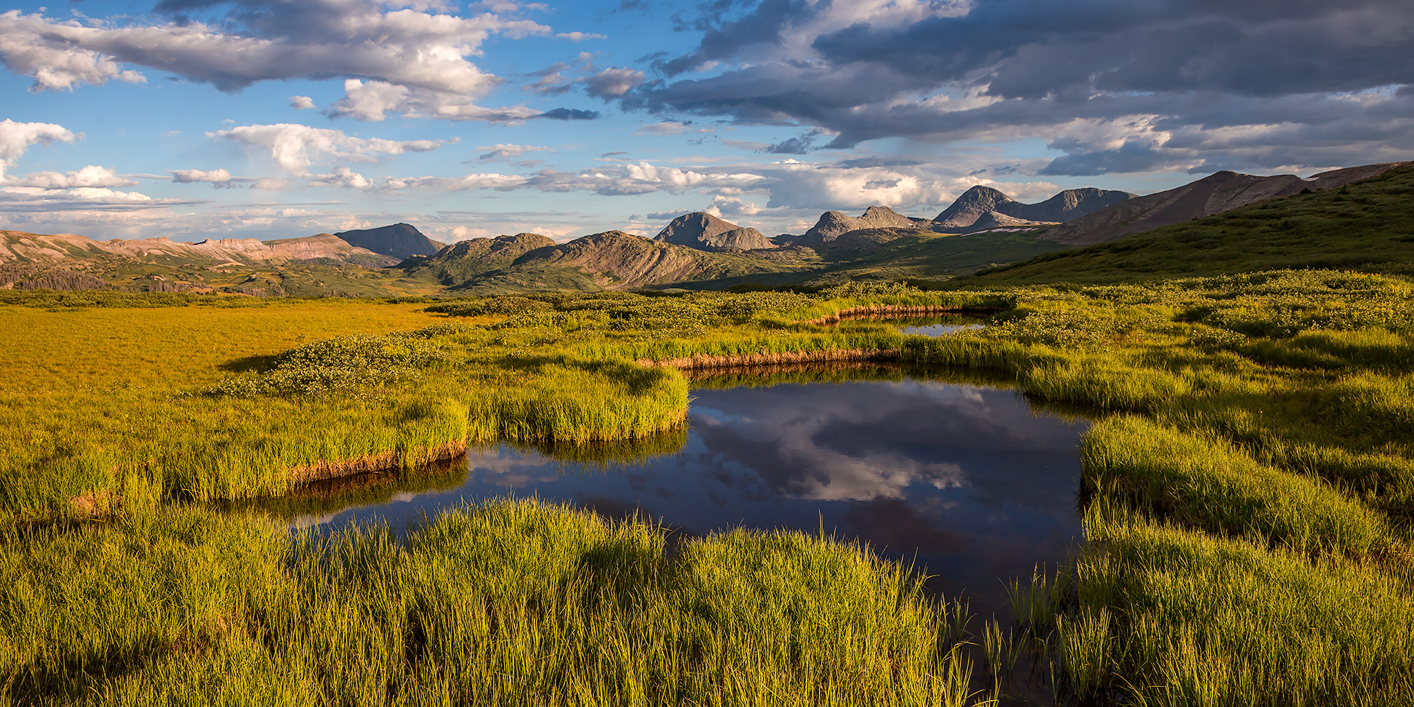
Weminuche Wanderings: West Ute Lake Loop

Continental Divide Trail: Hunchback Pass to West Ute Lake
Labor Day Weekend | Friday – Sunday, August 30 – September 1, 2019

Since we just spent last weekend along the Continental Divide in Wyoming, I figured it would be nice to spend some time along the Continental Divide Trail in Colorado this weekend. Since Labor Day is a popular holiday in the mountains of Colorado I planned a backpacking loop into an area of the Weminuche Wilderness that I hoped would not be very busy so we could try to avoid the crowds. The plan worked out great as we only saw a couple of other people all weekend and had plenty of solitude! As for the trails we hiked, they required more bushwhacking and route-finding than I expected, so that might be another reason why we didn’t run into too many people.

5 Comments

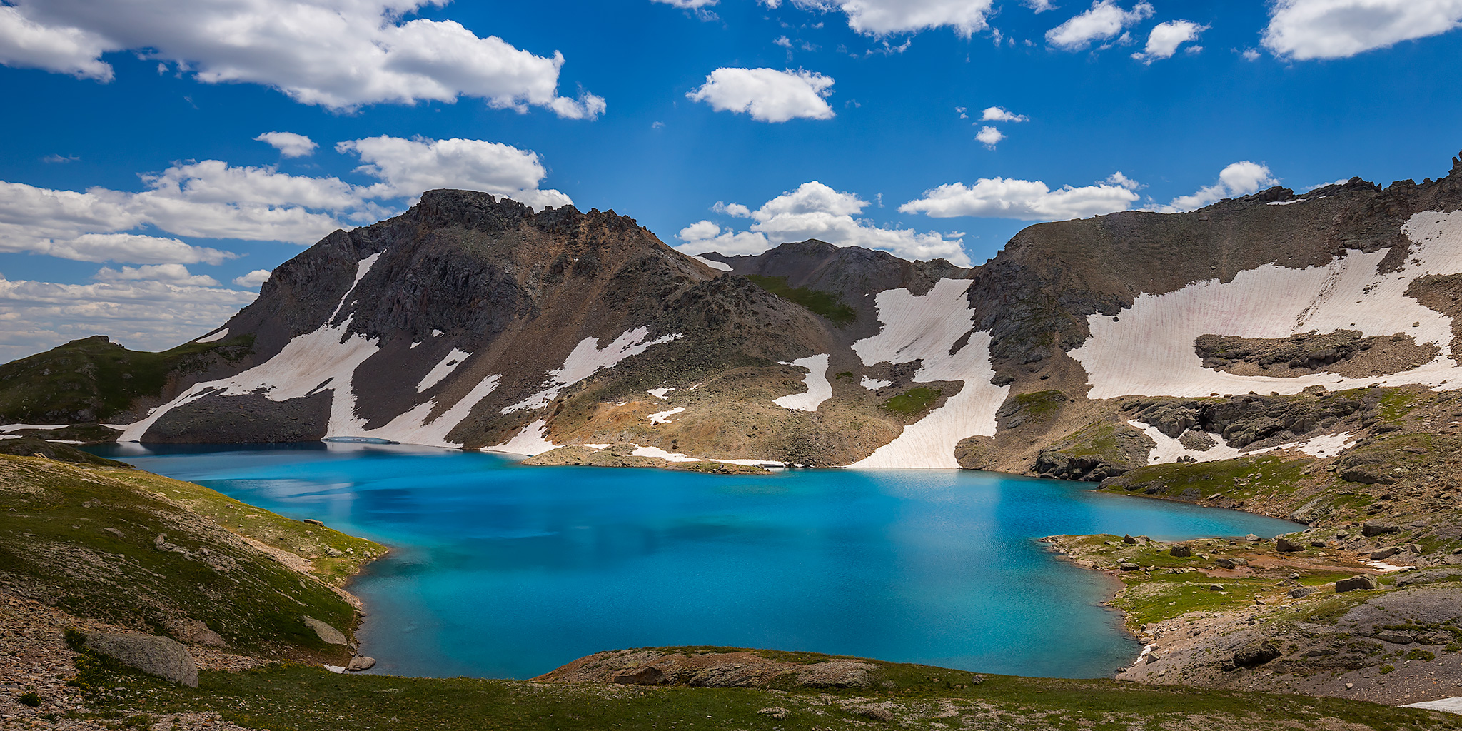
Grand Basin Traverse: The Basins of Mineral Creek

Black Bear Pass to Columbine Lake
Saturday, August 17, 2019

This weekend I decided to skip the peak bagging for a minute and just wanted to go on a nice hike in the high country through the upper basins of Mineral Creek near Silverton. I have wanted to hike to the turquoise blue waters of Columbine Lake for a long time but I didn’t really want to follow the steep trail that everyone else does, so I decided that I would drive up to Black Bear Pass and then hike over to the lake by passing through a couple different high alpine basins and maybe stop at a couple of passes along the way. Now after hiking this route I’ve got to say that it was pretty amazing! One of the nice things about this hike is that it was all above treeline and pretty much stayed between about 12,600 feet and 13,000 feet. There were a lot of ups and downs along the way, but it didn’t feel like I was climbing a steep mountain and the route offered spectacular views in all directions right from the beginning. This Grand Basin Traverse takes you through Mineral Basin, Porphyry Basin, Silver Cloud Basin and Mill Creek Basin on your way to Columbine Lake. Along the way you have the option of climbing up to two different passes for views into Mud Lake Basin and Bridal Veil Basin, plus you will also pass by Porphyry Lake, Bullion King Lake and a number of other small tarns along the way. This is definitely the way to hike to Columbine Lake!

8 Comments

North Fork of the Gunnison River

Paonia River Park to the Gunnison Forks Recreation Site
Independence Day | Thursday, July 4, 2019

This year for the Fourth of July I was looking to go on one last river trip before I started heading into the mountains for the summer season. Since I only had one day off from work for the holiday I wanted to go somewhere close to home and on a river that was still not running too high, which was hard to find this year! On Wednesday afternoon Jackson, Chris and I decided that we would give the North Fork of the Gunnison River a try from the Paonia River Park to its confluence with the Gunnison River. The North Fork of the Gunnison is formed just below the Paonia Reservoir by the confluence of of Muddy Creek (not that Muddy Creek) and Anthracite Creek, which originates in The Raggeds of the West Elk Mountains. Since we have already floated most of the Gunnison River from Pleasure Park to Whitewater, we thought it would be nice to work our way further up the North Fork and finally check it out.

2 Comments