Press "Enter" to skip to content

Tag: google map

PT 5239 in Rabbit Valley

Saturday, September 24, 2016

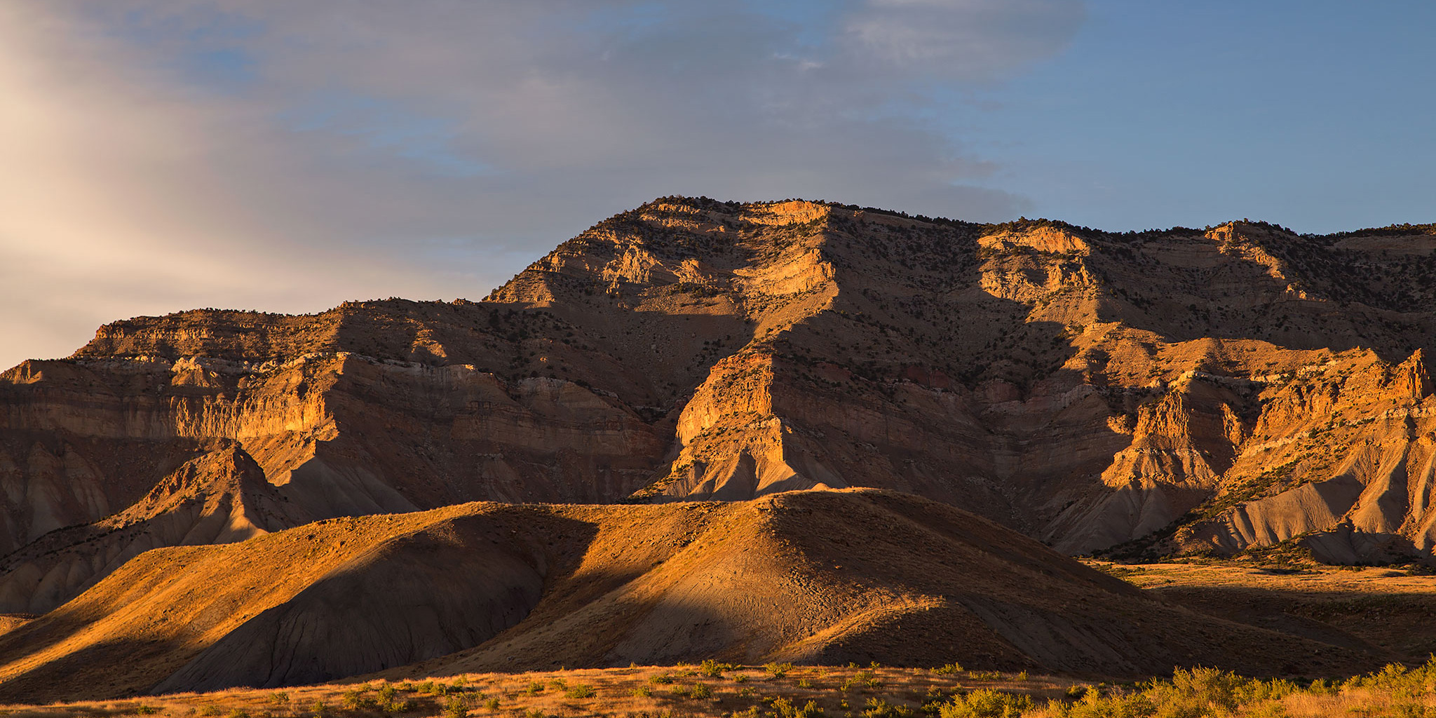
I was originally planning this hike for Thursday after work, but the weather made me change my plans that day. Since we ended up staying close to home this weekend because of the weather, I decided to head back out to Rabbit Valley after the rain stopped late in the morning and hiked up to the summit of PT 5239. I’ve been trying to explore more of Rabbit Valley lately and this short summit away from the more popular trails looked like a good place to check out.

Leave a Comment
Big Wash

Wednesday, September 7, 2016

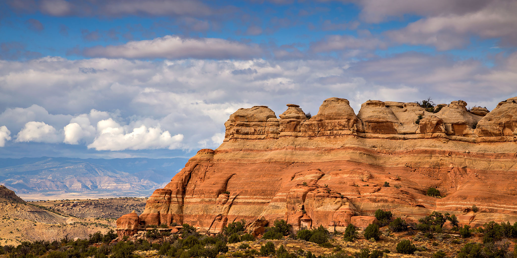
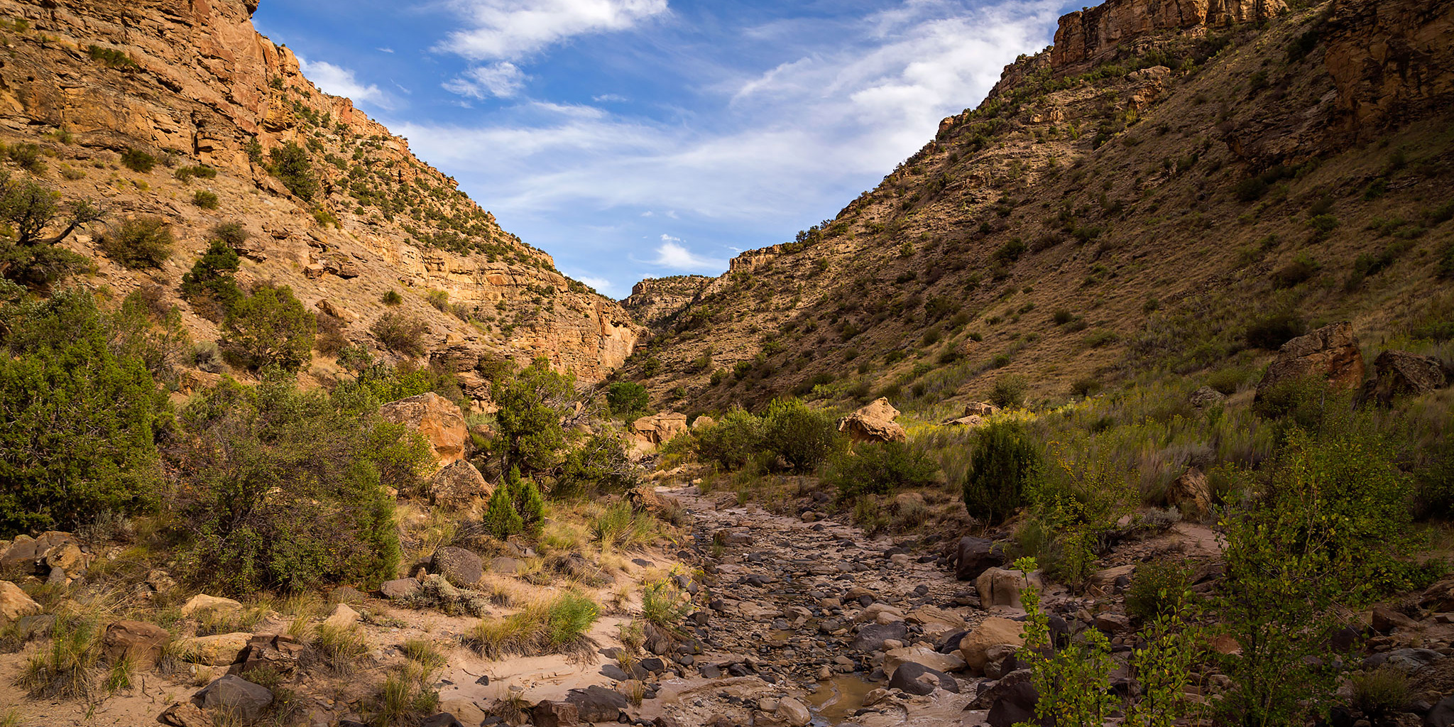
Recently I’ve been trying to get out on more hikes in the evening after work before the days start getting too short for that. Today I was looking for something close to home without too much elevation gain and settled on hiking up Big Wash which is located a short distance up Plateau Creek from I-70 along the Grand Mesa Scenic Byway. Big Wash drains part of the west side of the Grand Mesa starting up near Chalk Mountain and joins Plateau Creek just upstream from the Colorado River. It turned out to be a nice easy canyon hike with a trickle of water flowing through the canyon. While the water was nice to listen to as I hiked, it made for some very slick mud. I had to hop across rocks through many parts of the canyon to avoid the slippery mud. There were a couple of easy obstacles to scramble up and bypass, I just had to make sure to avoid the poison ivy at one of the bypasses. The hike ended at an overhanging waterfall inside a large wet alcove. I didn’t see a way around it so I turned around and headed back down. Here are a few photos from the short hike.

Leave a Comment

Tellerico Trail to Corcoran Point

Labor Day | Monday, September 5, 2016

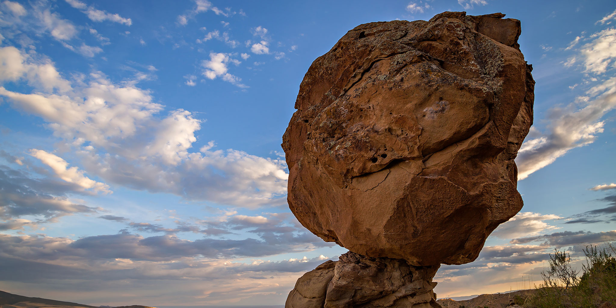
Since we ended up cutting our backpacking trip in the Uncompahgre Wilderness short by a day, I was free to go on an evening hike on the Tellerico Trail in the Book Cliffs for the Labor Day holiday. This trail has long been on my to-do list of local hikes and it was finally time to get out and do it. I figured that since the trail came very near to Corcoran Point (7,352) at the top, it would make a good destination to turn around at. Part of the reason I chose this trail is because it’s close to home, but I also hoped that since it’s not too popular I would’t run into anyone else on this busy three-day weekend. That was a good call since I didn’t see another person the entire evening. This trail definitely does not see much traffic, and because of that there are many sections of the trail that have been washed out a bit. There were certainly a few sections that I needed to be extra careful on.

Leave a Comment

Mount Lincoln

Tuesday, August 16, 2016

I see Mount Lincoln (No, not that Mount Lincoln!) almost every day since it stands above the Little Book Cliffs at the east end of the Grand Valley between Mount Garfield (6,765) and the Grand Mesa. It’s not very far from home and I have wanted to climb it for years, but for some reason I never seemed to get around to it. Last week I finally decided to give it a shot from the Stagecoach Trail in Palisade, but ended up changing my plans based on the weather that evening.

1 Comment

Stagecoach Trail

Wednesday, August 10, 2016

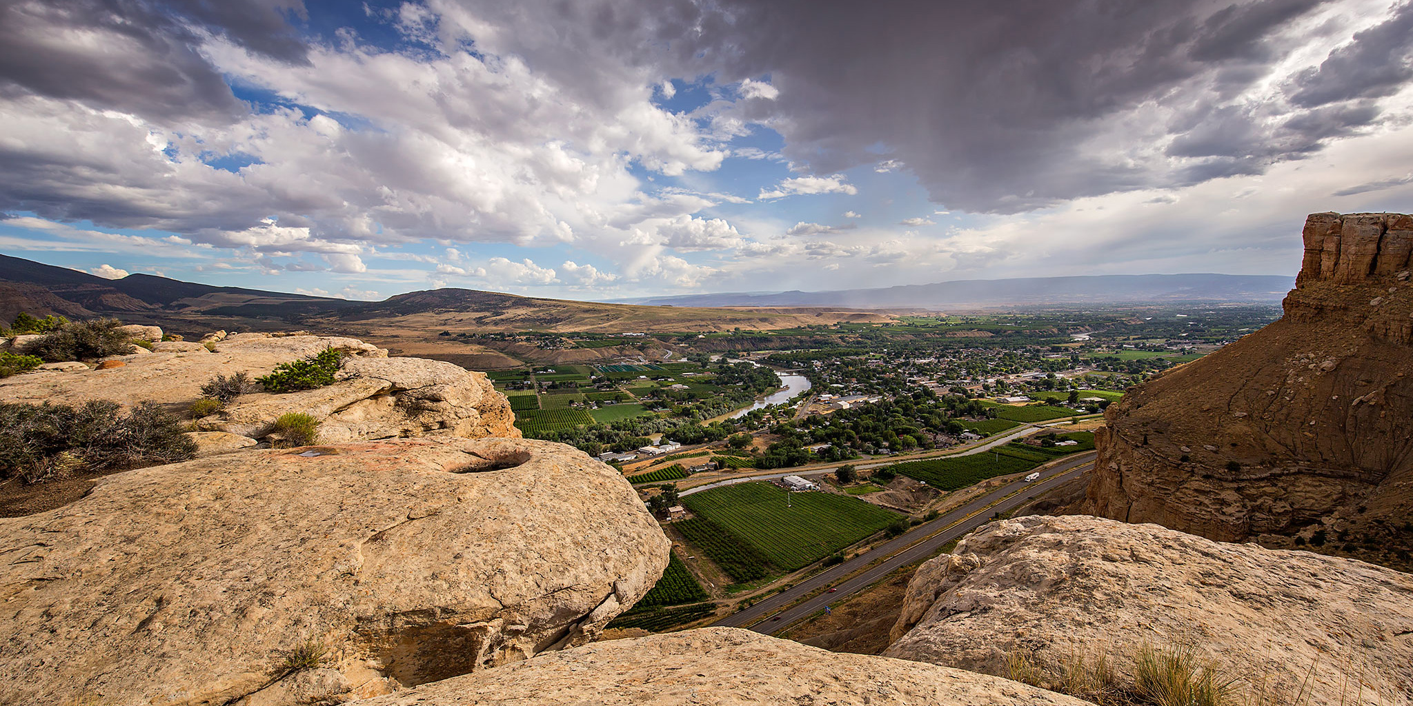
To be honest, I didn’t really plan on hiking the Stagecoach Trail today. When I left my house after work this afternoon to go on a hike I had my sights set on visiting the summit of Mount Lincoln using a short section of the Stagecoach Trail for access. However, as I climbed the trail towards the top of the Little Book Cliffs, dark clouds developed and moved in over the Grand Valley along with a little rain and a few distant rumbles of thunder, so I decided it would probably be best to skip the summit this evening and finish the Stagecoach Trail loop instead. It turns out that the Stagecoach Trail is pretty fun and offers some nice views of the Little Book Cliffs, Mount Garfield and the surrounding valley. I’ll have to return another day for Mount Lincoln!

Leave a Comment