Press "Enter" to skip to content

Tag: county high points

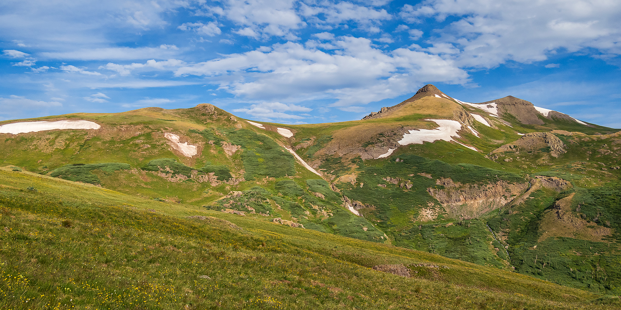
Chepeta Lake: Eccentric Benchmark & Daggett Peak

Headwaters of the Whiterocks River | Friday – Sunday, August 9-11, 2024

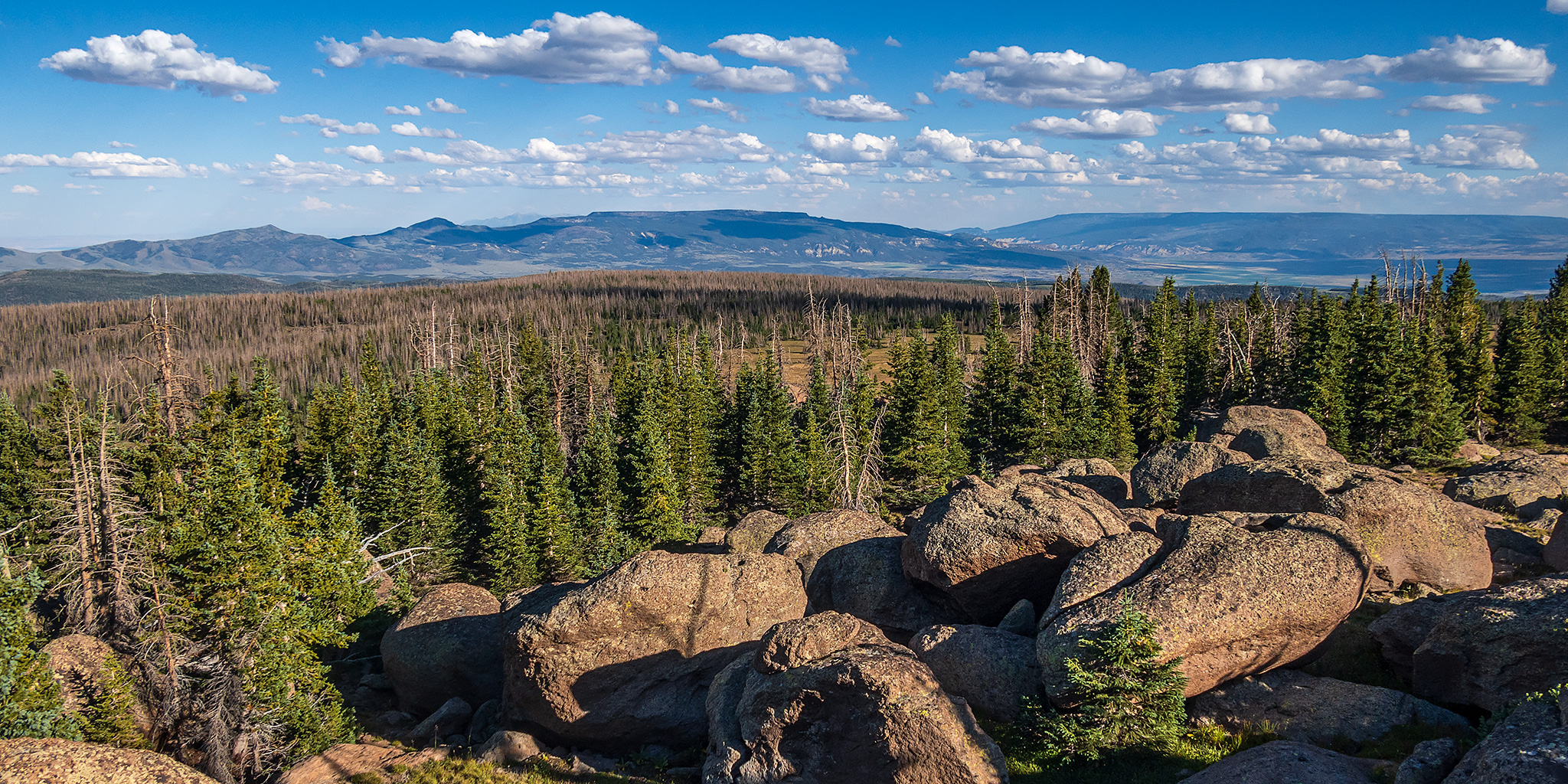
After last week’s backpacking trip to the Red Castle Lakes in the High Uintas Wilderness I didn’t have any plans on returning to the Uinta Mountains anytime soon. However, after keeping an eye on the weather forecast around Colorado for the upcoming weekend, I couldn’t find a mountain range within a couple hundred miles of home that didn’t show stormy weather all day and night. It was going to be a wet and stormy weekend in the mountains of Colorado! I was originally hoping to spend the weekend hiking along the Continental Divide in the San Juan Mountains, but on Friday afternoon I made a last-minute decision to head up to the eastern end of the Uinta Mountains with hopes that I would be able to get some hiking in since the weather forecast for this area looked like the best around with only the typical afternoon storms. So for the second time in as many weeks I left from work and drove over Douglas Pass on my way to the Uinta Mountains. After a quick stop for fuel in Vernal I headed out across the Uinta Basin and then followed the Whiterocks River up to it’s headwaters at Chepeta Lake.

Leave a Comment
The High Plateaus of Utah: Proper Edge of the Sky

The Plateau Provence: Peaks & Plateaus of the Colorado Plateau
Wednesday – Friday, August 30 – September 1, 2023

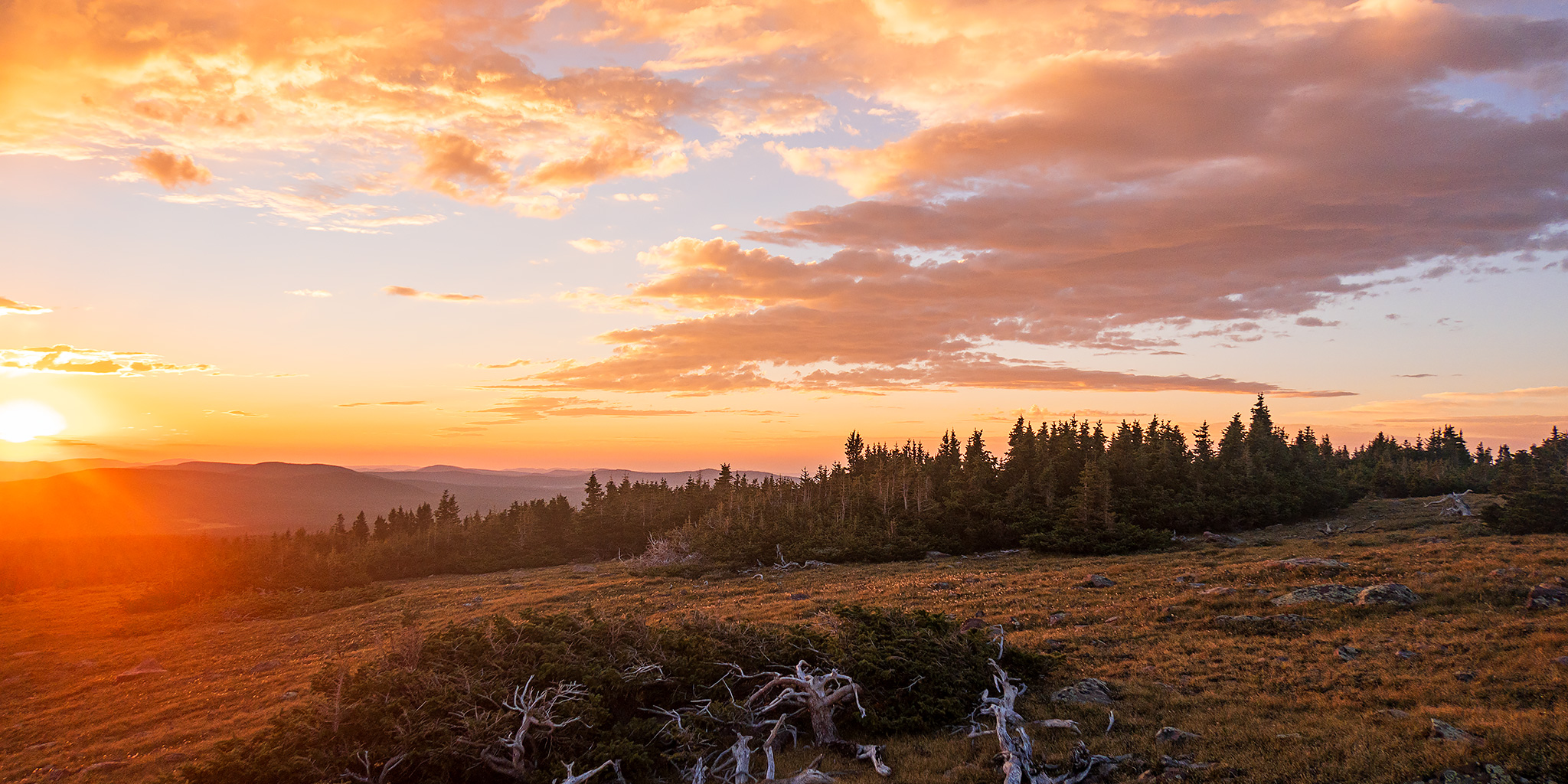
The High Plateaus of Utah are a group of elevated tablelands that form the boundary between the Colorado Plateau and the Great Basin in Central Utah and are what Wallace Stegner once described as “those remarkable mountains that are not mountains at all but greatly elevated rolling plains.” Although I have driven around and between the High Plateaus many times over the years, I have not spent very much time up on top of any of them and I wanted to change that this summer so I could see what they were all about. And what better way is there to get to know a new place than by driving the backroads and visiting the highpoints along the way! I figured that I would start at the northern end of the Wasatch Plateau and then work my way south, looping back around to finish up on Thousand Lake Mountain, where I could hop back on I-70 and head back home after a nice introduction to the area. That was the plan, and I thought it was a pretty good one, but as you will see, “the best laid plans of mice and men often go awry.”

3 Comments

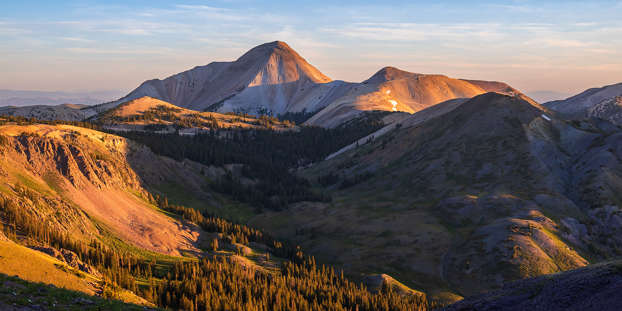
South San Juan Mountains from Elwood Pass

Friday – Monday, July 28 – 31, 2023

After spending the last two days around the Animas River Valley between Coal Bank Pass and Durango, I decided to spend the next couple of days further south and east in a distant part of the San Juan Mountains that I don’t get around to visiting very often. I’ve definitely been long overdue for another visit to the South San Juan Mountains between Wolf Creek Pass and the New Mexico state line and figured that this would be a good opportunity to get back since it wasn’t too much further away. After the GIS Colorado Summer Meetup concluded late in the morning on Friday I packed up my Jeep and made my way over to Pagosa Springs to continue on with the next leg of the trip.

4 Comments

Delano Peak: Top of the Tushar Mountains

Friday & Saturday, July 8-9, 2022

This weekend I was going to be travelling all the way to San Diego to spend the following week at the ESRI User Conference for work, and figured this would be a great opportunity for me to hike some peaks along the way if I drove instead of flying, so that’s what I made plans to do. I left from work on Friday afternoon and started my long drive west into Utah, though I wouldn’t be going too far this first day. It was very windy out this afternoon which killed my fuel mileage and I just barely made it to Richfield to fill up my gas tank and get some dinner. My first stop along the way was going to be the Tushar Mountains, which I have driven around numerous times before, but never actually been into, so I was looking forward to checking them out for the first time. I figured a good introduction to the range would be to climb Delano Peak, which is the highest peak in the range at 12,169 feet and is also the Highpoint for Beaver & Piute Counties.

Leave a Comment

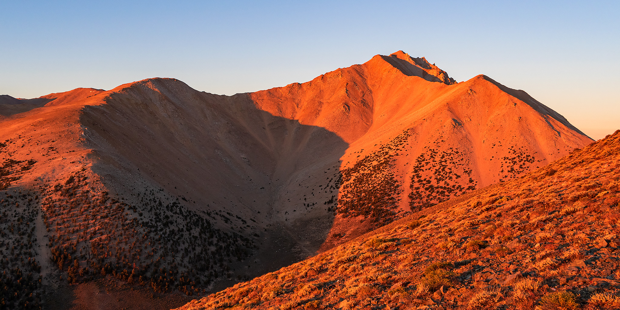
The Highest Point in Nevada: Boundary Peak

Across the Great Basin and Back | The Loneliest Road (Trip) in America
Thursday & Friday, September 3-4, 2020

After hiking to the top of White Mountain Peak in the morning and then stopping in Bishop for food and gas in the afternoon, it was time for me to head back into Nevada on US Route 6 so I could climb Boundary Peak located at the very northern end of the White Mountains. Since I had hiked Wheeler Peak on Wednesday which is considered the ‘highest peak’ in Nevada, I figured that I might as well climb the ‘highest point’ in Nevada too since I was going to be driving right near it. This would be my third peak in as many days and I was hoping that my legs would be up for it!

Leave a Comment