Press "Enter" to skip to content

Tag: clouds

Hoodoo Trail

Sunday, November 4, 2018

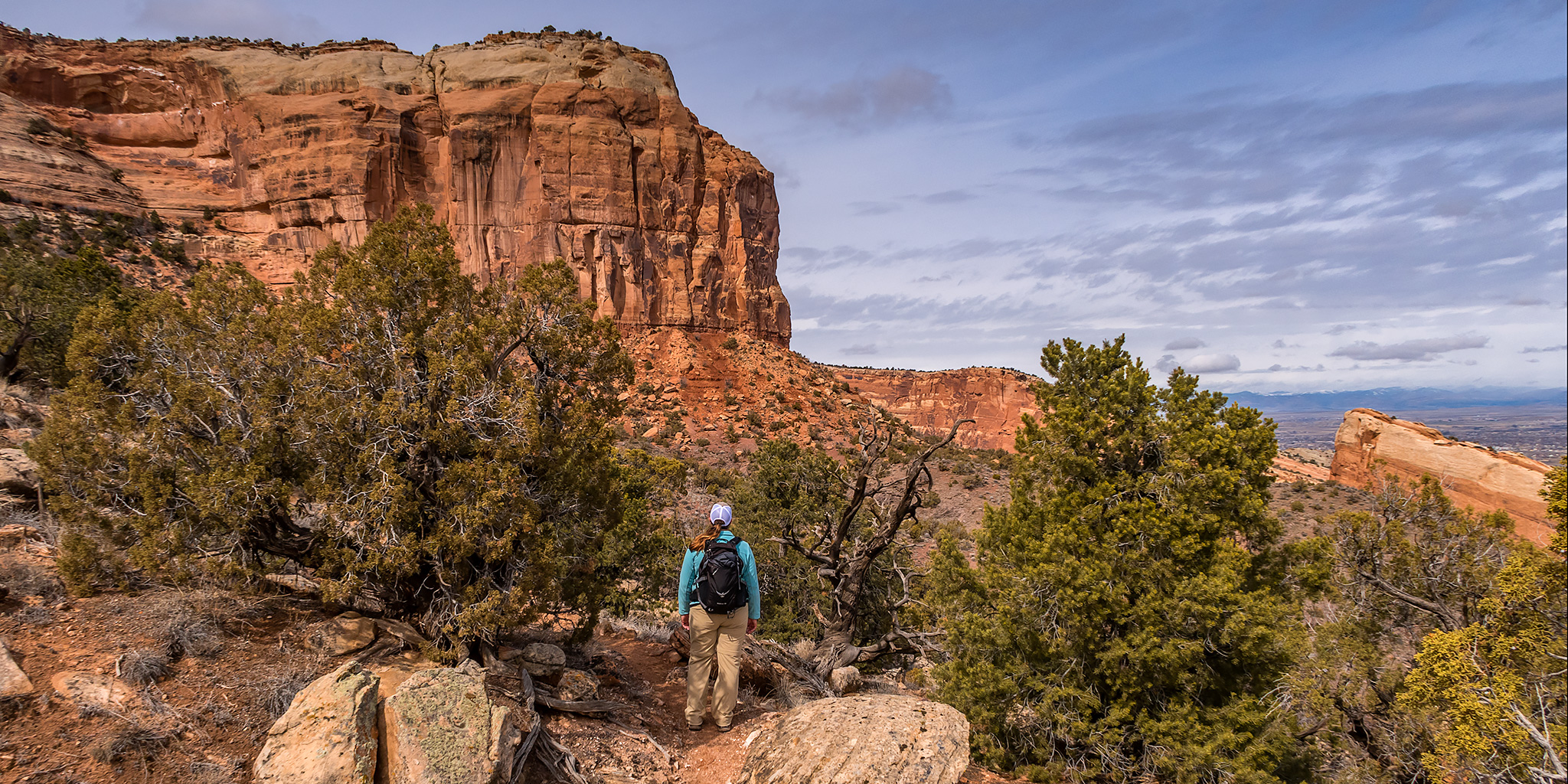
For a change, Diane and I actually stayed home this weekend! It seems like it’s been a long time since I’ve done that! We went for a bike ride along the Colorado River on a new section of the Riverfront Trail on Saturday and then went on a hike on the Hoodoo Trail in the Little Book Cliffs on Sunday morning. Since rain was predicted for the early afternoon we got an early start so we would hopefully be finished with the hike by the time it arrived. I had hoped the nice clouds in the sky would stick around as we left home shortly after sunrise, but the sky quickly became completely overcast after we started hiking and stayed that way for the rest of the day. Since it was looking pretty gloomy out I didn’t end of taking very many photos, but I’ll share the ones I did take below. We did end up seeing two wild horses in the canyon, but they were too far away to get a photo of.

Leave a Comment

Petroglyphs of the Waterpocket Fold

Southern Utah Wanderings | Backcountry Petroglyphs of Capitol Reef
Monday – Tuesday, October 1-2, 2018

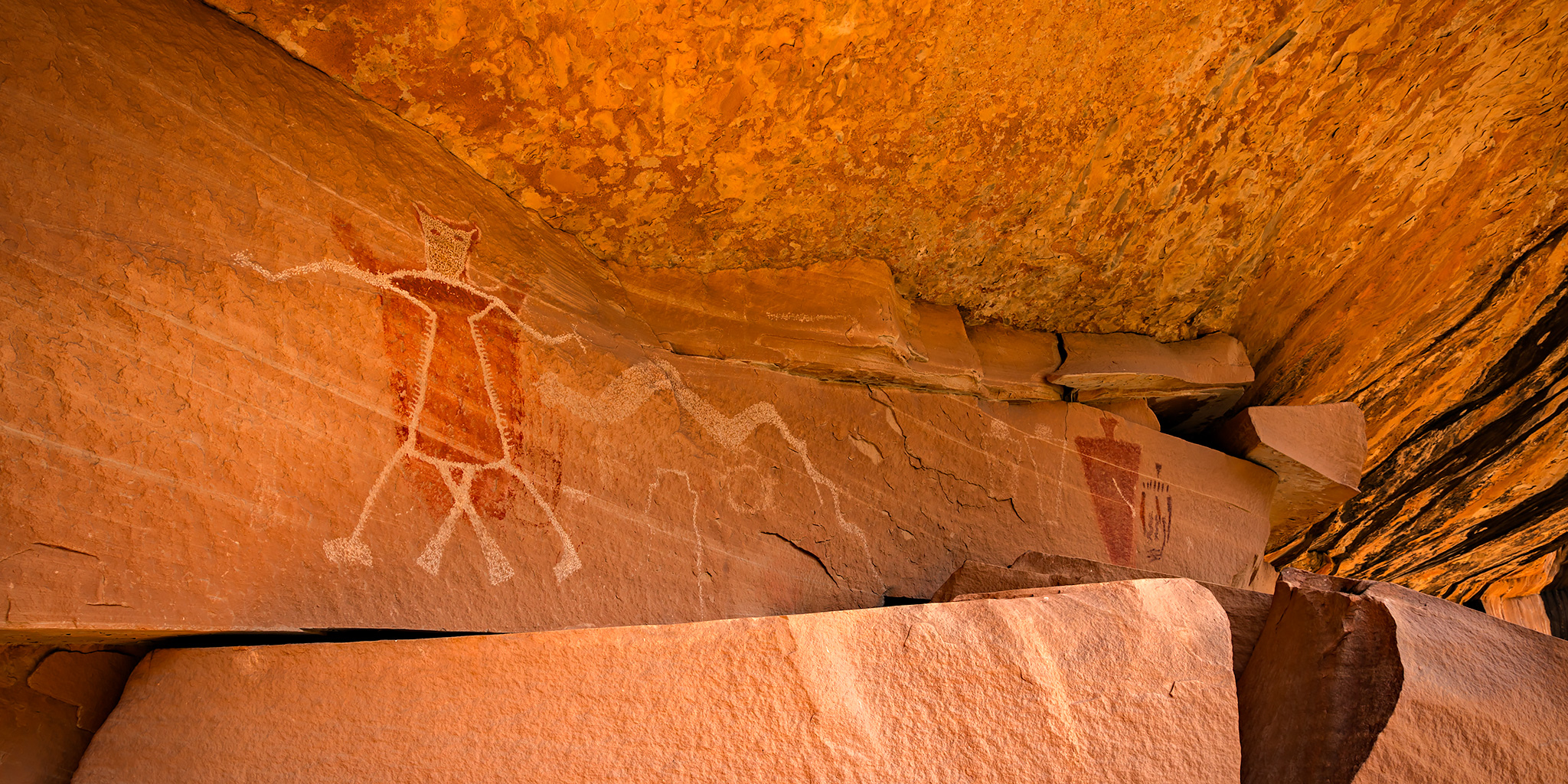
After spending Sunday evening and Monday morning in Salt Lake City it was finally time to start my annual October trip to southern Utah. I planned on starting off the week by searching for some remote and little-known petroglyphs hidden in the backcountry of Capitol Reef National Park with my friend Jared. On our drive back from Salt Lake City, Diane and I stopped at Dennis‘ house in Price to pick up my Jeep. I had left my Jeep there on Saturday morning so we wouldn’t have to drive both of our vehicles all the way to Salt Lake City and I wouldn’t have to go all the way back home to Grand Junction to get it afterwards. From Price Diane headed back home and I made my way over to Torrey where I would be meeting up with Jared who had already been hiking in Capitol Reef all weekend. One nice thing about driving from Price to Torrey was that it finally gave me an opportunity to drive Highway 72 from I-70 to Loa through the eastern edge of Fishlake National Forest.

Leave a Comment

Labyrinth Canyon: Ruby Ranch to Mineral Bottom

Thursday – Monday, September 20-24, 2018

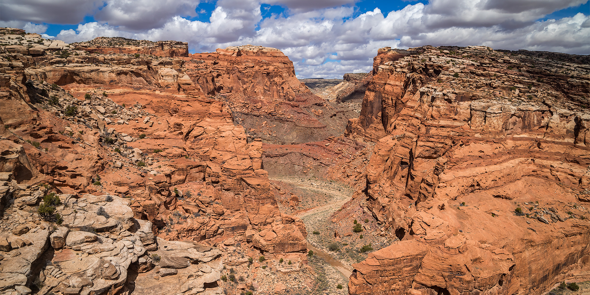
I was pretty excited that it was finally time to get back on the river! I had been looking forward to this trip all summer since it’s been way too long since my last river trip and I was really missing floating through desert canyons. I’ve actually wanted to float this stretch of the Green River for a while now, and I was finally able to convince a few friends to go with me this year. I did most of the planning for this trip which would take us down about 45 miles of the Green River through Labyrinth Canyon from Ruby Ranch to Mineral Bottom. Even though it was a bad snow year in Colorado, the Wind Rivers had a pretty average snow year so the level of the Green River at 2,000cfs was pretty typical for this time of the year. There was originally supposed to be six of us in our group, but at the last minute my friend Jackson and his son had to drop out because his son got sick. This also changed our plans for the shuttle at the last minute since we wouldn’t need two vehicles at the end, so Chris ended up riding with me to Ruby Ranch after work while Steve and Nic would run the shuttle vehicle down to Mineral Bottom in the afternoon and we would all meet up in the evening.

5 Comments

Cinnamon Pass Peaks & Anvil Mountain

Friday – Sunday, September 7-9, 2018

After visiting the High Uintas Wilderness for the first time last weekend, I figured I’d stay a little closer to home this weekend to spend some quality time back in the San Juan Mountains. The summer season in the mountains is coming to an end soon and I’ll be heading off to explore the Colorado Plateau on my weekends in just a few short weeks. Midddle to late September is actually my favorite time to hike in the mountains since they are less crowded after Labor Day, the alpine tundra is already changing color, the aspen trees usually start to change color, and there are less worries about afternoon thunderstorms since the monsoon season is coming to an end. It’s a great time of the year to get in some peak bagging! Last September I headed up to Engineer Pass for a little hiking around this time of the year, so I thought I would return to the area and hit up Cinnamon Pass this time. Although I hiked to Cinnamon Mountain from the pass a few years ago, there were still a couple of peaks nearby that I hadn’t got to yet.

2 Comments

Top of Utah: Kings Peak via Henrys Fork

Labor Day Weekend | Thursday – Sunday, August 30 – September 2, 2018

Last August when Diane and I were driving home through the eastern edge of the Uinta Mountains from our first backpacking trip in the Wind River Range in Wyoming, I mentioned that we needed to go on a backpacking trip into the High Uintas Wilderness in 2018, so I put it on our calendar for Labor Day weekend when I got back home. Fast forward a few months and it was time to start figuring out more specific plans for the trip. After looking at maps and our options, I figured that we might as well go all out and hike to the summit of Kings Peak which is the highest point in Utah. There are a couple of ways to get there, but Henrys Fork looked like the easiest and most popular way to go, so we thought it would be a good introduction to hiking in the High Uintas. Since I knew this was going to be a popular spot, especially during a holiday weekend, we took off Friday from work in hopes of getting a little bit of a head start. We left right after work on Thursday and drove over Douglas Pass and through the Book Cliffs to Vernal, where we stopped for a quick dinner. We almost hit a deer as we were driving through Manila, but other than that the drive was pretty uneventful. We arrived at the Henrys Fork Trailhead in the dark around 10:00pm and found a great spot to camp nearby. We quickly setup our tent and went right to bed. The sky was very clear and the stars and milky way were bright tonight!

Leave a Comment