Press "Enter" to skip to content

Tag: cairn

Around The Block: Red Benches to The Cove

The Chinese Trail, Mille Crag Bend and West Fork of Rock Canyon
Friday – Sunday, January 22-24, 2021

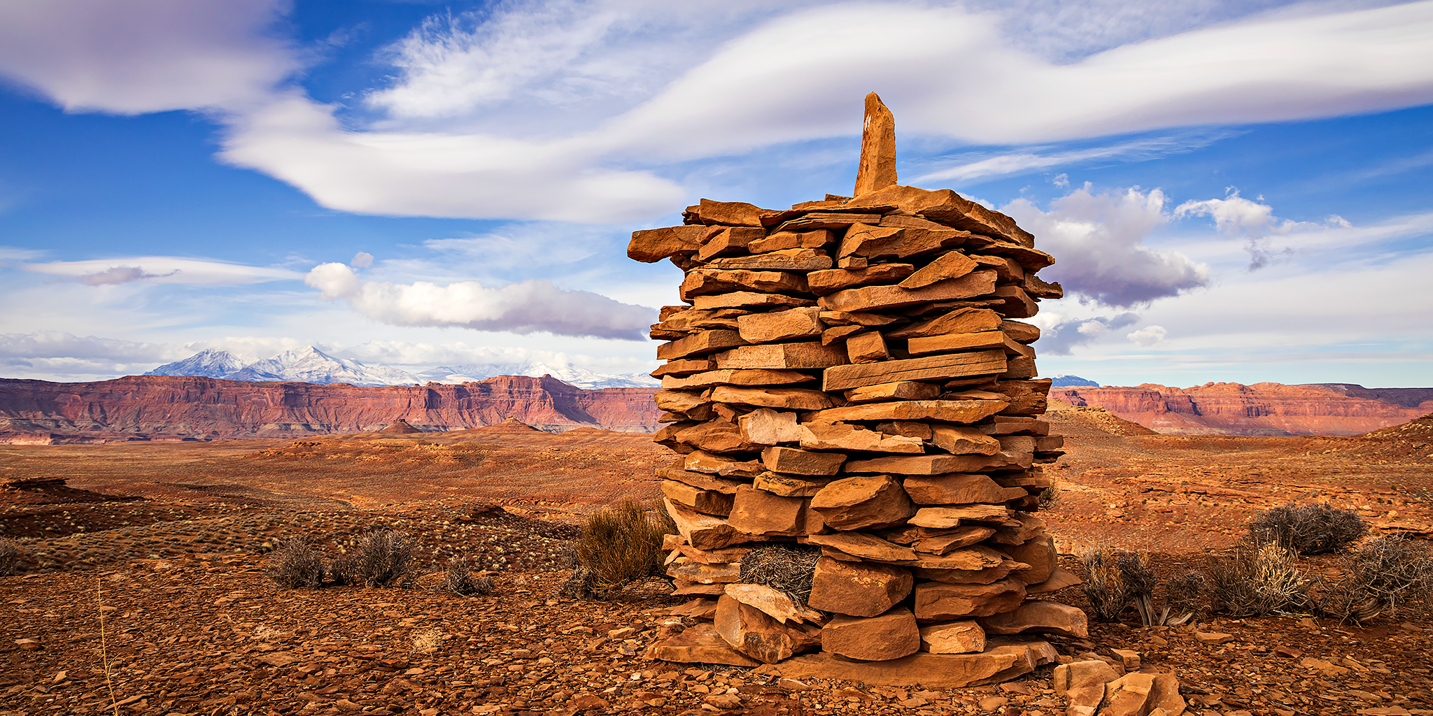
Late Friday evening a winter storm was forecast to move across the Colorado Plateau and into the mountains of Colorado that was supposed to stick around until Tuesday and bring much-needed moisture to the area. Leading up to the weekend I kept a close eye on the weather forecast and it seemed like the area around Hite would be the best location to get in some hiking during the days while avoiding precipitation. Heading that direction this weekend sounded like a great idea to me since there are plenty of places around the Dirty Devil Country that I’ve wanted to explore and camping in the Glen Canyon National Recreation Area near Hite would allow me to visit a few of those places surrounding The Block.

Leave a Comment
The Serpent of The Sangres: Culebra Peak

Culebra Peak | Friday – Saturday, July 28-29, 2017

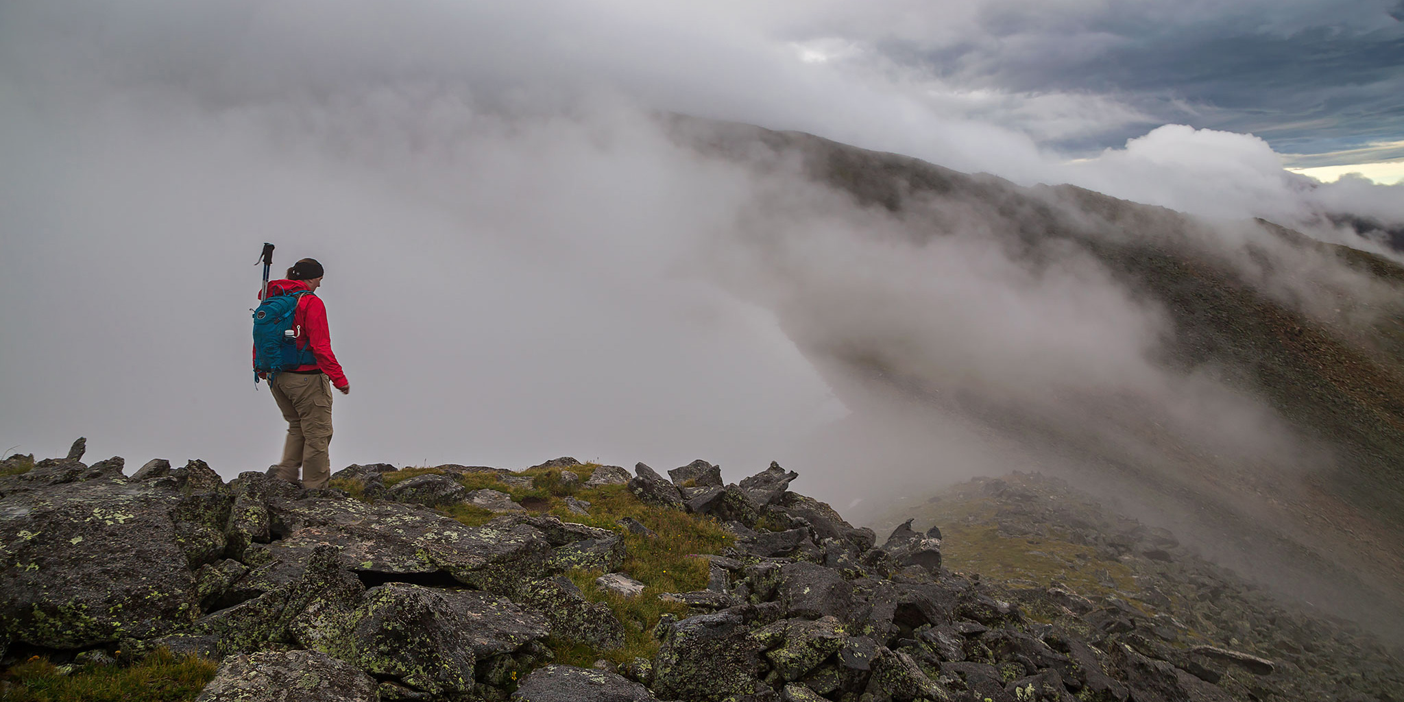
Last year after hiking my first 14er in the Sangre de Cristo Mountains I thought it would be nice to come back again this year for another one. After looking at my options earlier in the year I decided to try and get two permits to hike Culebra Peak (14,047) at the southern end of the range within Colorado. Culebra, which translates to serpent or snake in Spanish, is most likely named for the long snake-like ridge that leads up to its summit which is visible from the west. For those not familiar, Culebra Peak is the southernmost 14er in Colorado (only about 9 miles from the New Mexico border), the highest point in the Culebra Range, and is completely on private property which was originally part of a large Mexican Land Grant that dates back to 1844. This area of Colorado has a very unique and controversial history and I highly recommend that you check out this page on Summit Post to learn more about the timeline of this property. What pushed me over the edge to try for Culebra this year was the fact that the ranch it is located on has been for sale for a while and there is no guarantee the future owner of the property will continue to allow access. I figured that I’d like the opportunity to try and climb this peak now with it’s uncertain future.

2 Comments

Kane Gulch

Saturday, March 2, 2013

On Saturday morning I headed south for an early season hike in the Grand Gulch area. I stopped at the Kane Gulch Ranger Station as they opened for the day to pick up an annual Cedar Mesa hiking pass and then started hiking down Kane Gulch from there. There was still quite a bit of snow and ice in places, but nothing difficult. In the morning everything was frozen which made things a little easier, but on my way back in the afternoon everything had started melting and there was a lot more slippery mud on the trail in places. I first visited the Junction Ruins found at the confluence of Kane Gulch and Grand Gulch and then I continued down Grand Gulch a little further to the Turkey Pen Ruins.

1 Comment