Press "Enter" to skip to content

Tag: 11ers

The High Plateaus of Utah: Southern Trek

The Plateau Provence: Peaks & Plateaus of the Colorado Plateau, Part IV
Friday – Sunday, August 30 – September 1, 2024

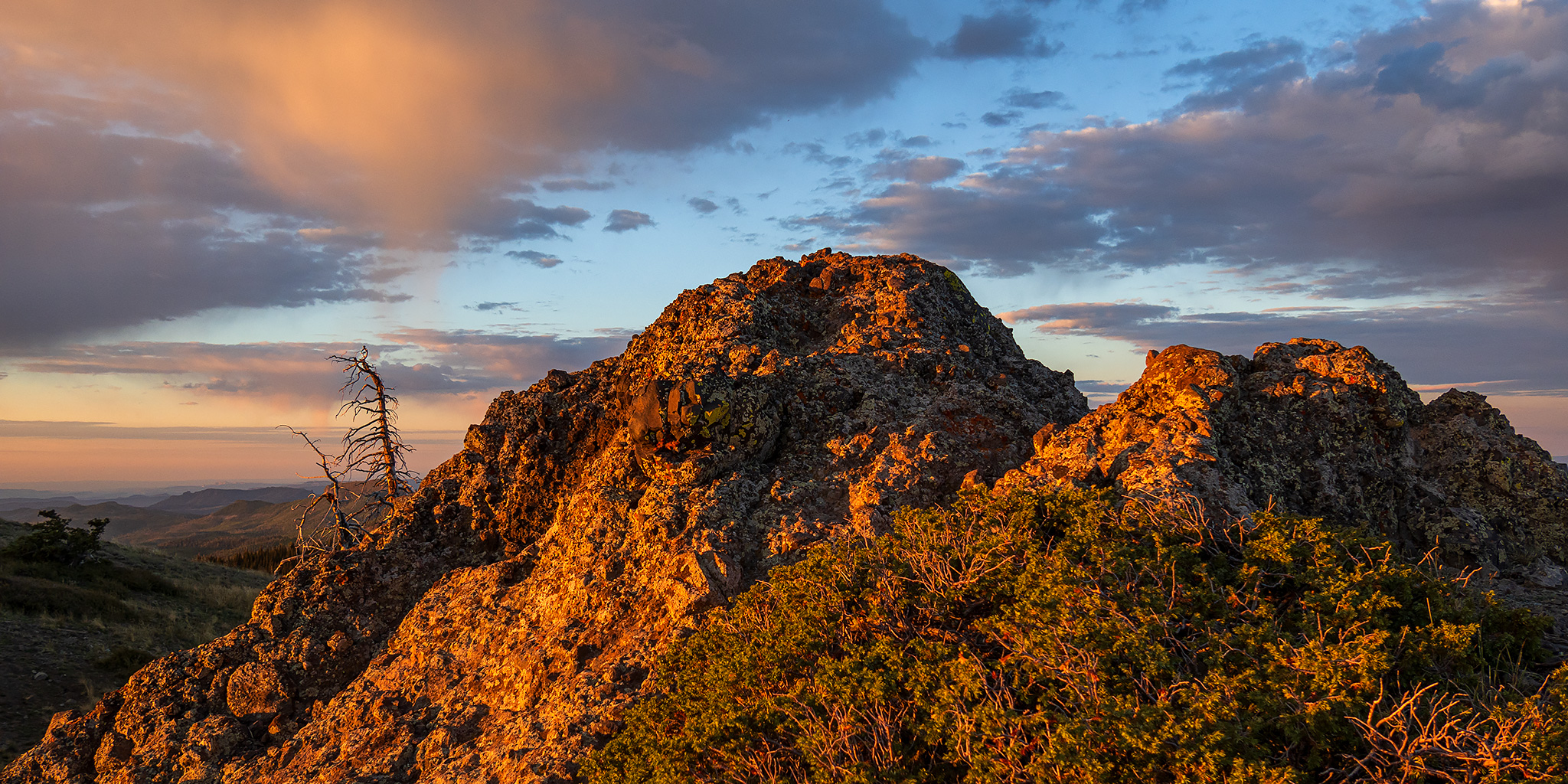
After spending Friday morning visiting a number of rock art sites along the Old Trappers’ Trail in the Book Cliffs, I left the canyon shortly before noon and continued on to Ray’s in Green River where I stopped and had a burger for lunch. Afterwards, I topped off my gas tank and headed west across the San Rafael Swell into the High Plateaus of Utah for the rest of the weekend. After my recent Northern Trek into the the High Plateaus earlier this summer, I’ve been looking forward to getting back out and going on a loop through the southern plateaus including the Table Cliff, Paunsaugunt, and Markagunt, plus making a return to the Sevier Plateau so I could visit a new peak along the way. Now after this weekend I have visited the highpoint of all the major plateaus on the Colorado Plateau in Utah except for the Kaiparowits Plateau, which is next on my list!

Leave a Comment
East Brush Creek: Ironedge Trail & Mystic Island Lake

Holy Cross Wilderness | Friday & Saturday, August 16-17, 2024

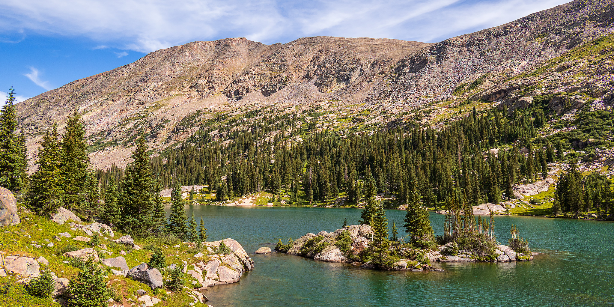
Aside from my weekend visit to the Red Table Mountain late last summer, I haven’t spent much time exploring the area at the very northern end of the Sawatch Range, so I decided to stick around after the GIS Colorado Summer Meetup to hike a couple of trails on the west side of the Holy Cross Wilderness, hoping they would be a little less popular than those found on the east side. After the GIS presentations at Sylvan Lake were completed early on Friday afternoon, I drove over Hardscrabble Mountain into Eagle for fuel and snacks and then headed up East Brush Creek and the Hat Creek Road to the Peter Estin Hut, which is one of the popular 10th Mountain Division Huts. From the parking area near the hut I hiked over to the Ironedge Trail and followed it to the ridgeline that makes up the boundary of the Holy Cross Wilderness and then continued up to the Charles Benchmark.

Leave a Comment

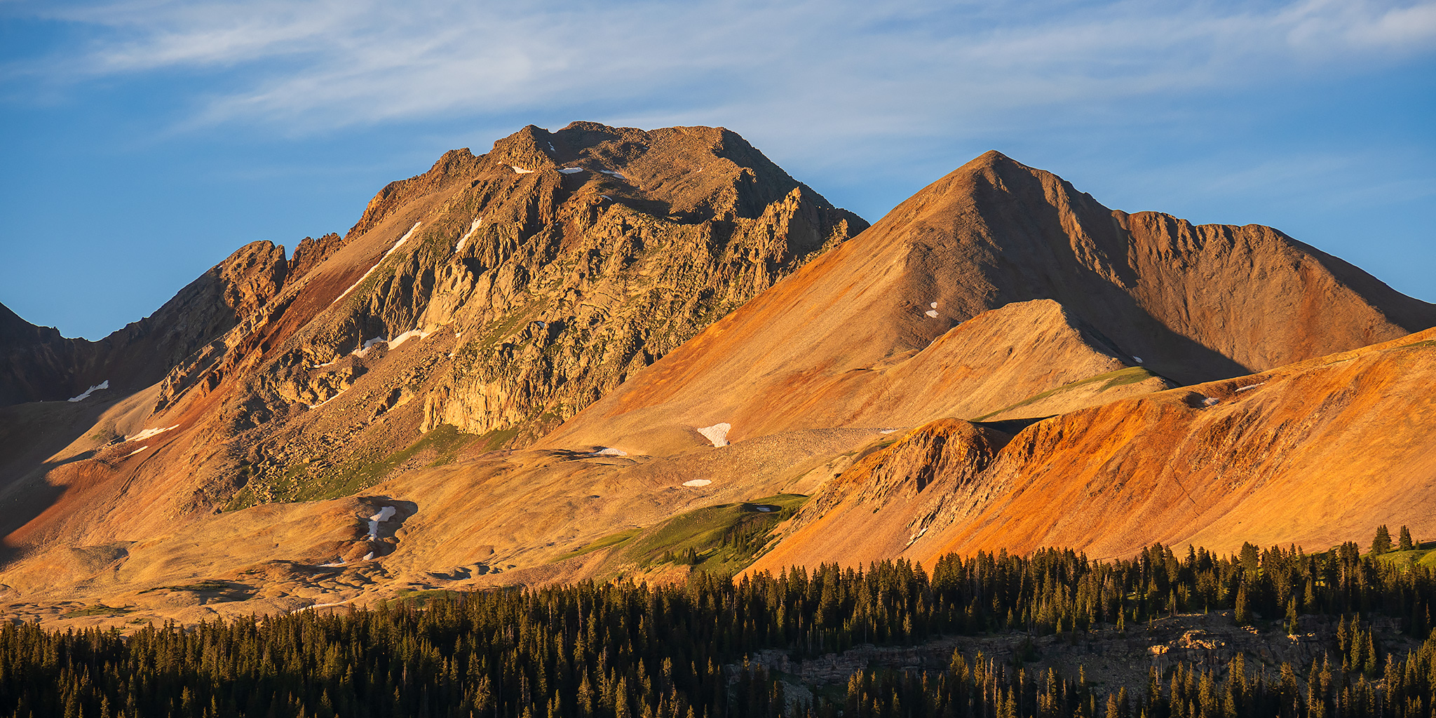
The Rico Mountains: Five Years on the Calico Trail

Friday – Sunday, July 5-7, 2024

After Diane and I spent Independence Day backpacking in the Flat Tops Wilderness, we returned home early Friday afternoon so she could spend the rest of the weekend with a friend visiting from out of town. While at home I took some time to repack my Jeep for a solo trip and then headed south to spend the rest of the weekend in and around the Rico Mountains. Over the past four years I have been hiking to the summits of the peaks found along the Calico Trail, which follows the crest of the western Rico Mountains, and I only had one final named peak left- Landslip Mountain, which I panned to hike on Saturday morning.

Leave a Comment

La Sal Mountains: Warner Lake to Gold Knob

Juneteenth | Tuesday – Wednesday, June 18-19, 2024

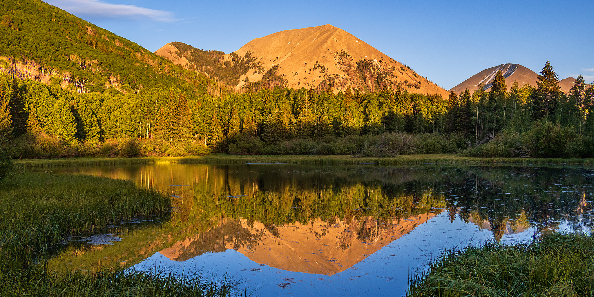
Surprisingly, it’s been almost three years since my last visit to the La Sal Mountains near Moab and I’ve definitely been overdue for a return since I still have a couple of peaks left in the range to hike. Since I had Wednesday off for Juneteenth, I left from work on Tuesday afternoon and headed up to the Warner Lake Campground so I could start getting my lungs and legs ready for the mountain hiking season with an easier hike up to the summit of Gold Knob in the morning. After arriving at the campground I went for a short loop hike nearby and then returned to watch the sunset from Warner Lake before getting to bed early.

Leave a Comment

Red Table Mountain: Crooked Creek to Mount Thomas

Around the Red Table: Crooked Creek Pass & Cottonwood Pass
Friday – Sunday, September 15-17, 2023

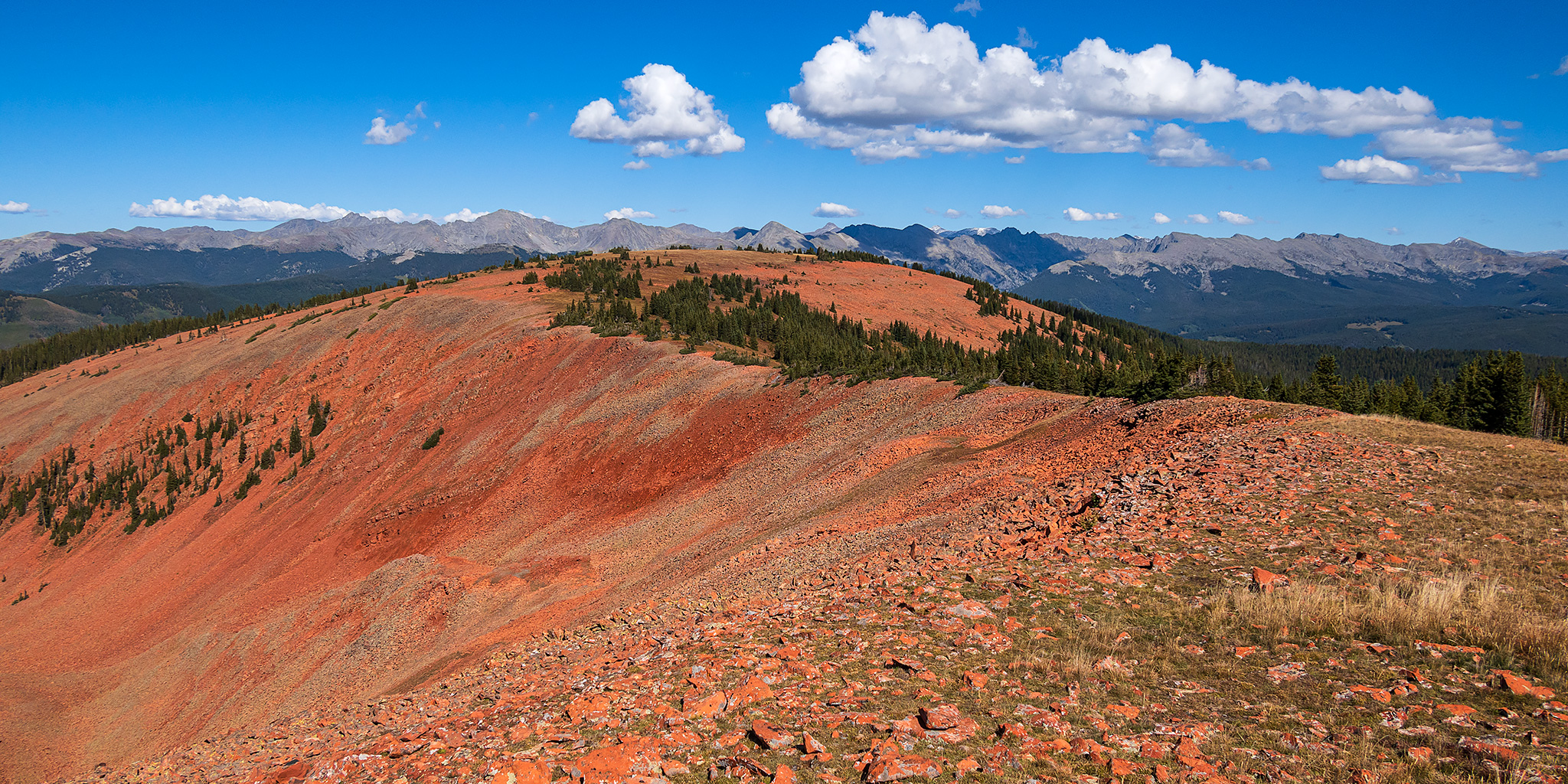
This weekend I headed out to the very northern end of the Sawatch Range so I could drive around and explore Red Table Mountain, which is located just west of the Holy Cross Wilderness between Gypsum, Eagle and Thomasville. I left from work on Friday afternoon, stopped in Rifle for gas and a bite to eat, and then continued on through the Roaring Fork Valley to Basalt where I turned off and followed the Fryingpan River to Lime Creek. Although I had driven through a couple heavy rain storms along the way, I found the beginning of the Crooked Creek Pass Road to be in good condition when wet, but that quickly changed as I drove higher and found some very slick conditions. After sliding off the road into the ditch twice, and thankfully not off the other side of the road, I found a small level spot to pull over and spend the night at. I had had enough of the slick and slippery road and felt it was too sketchy to continue driving up to the pass or turning around and heading down, so I was hoping that the road would dry out a bit overnight.

1 Comment