Moab Meanderings in the Fog | Saturday & Sunday, January 3-4, 2026
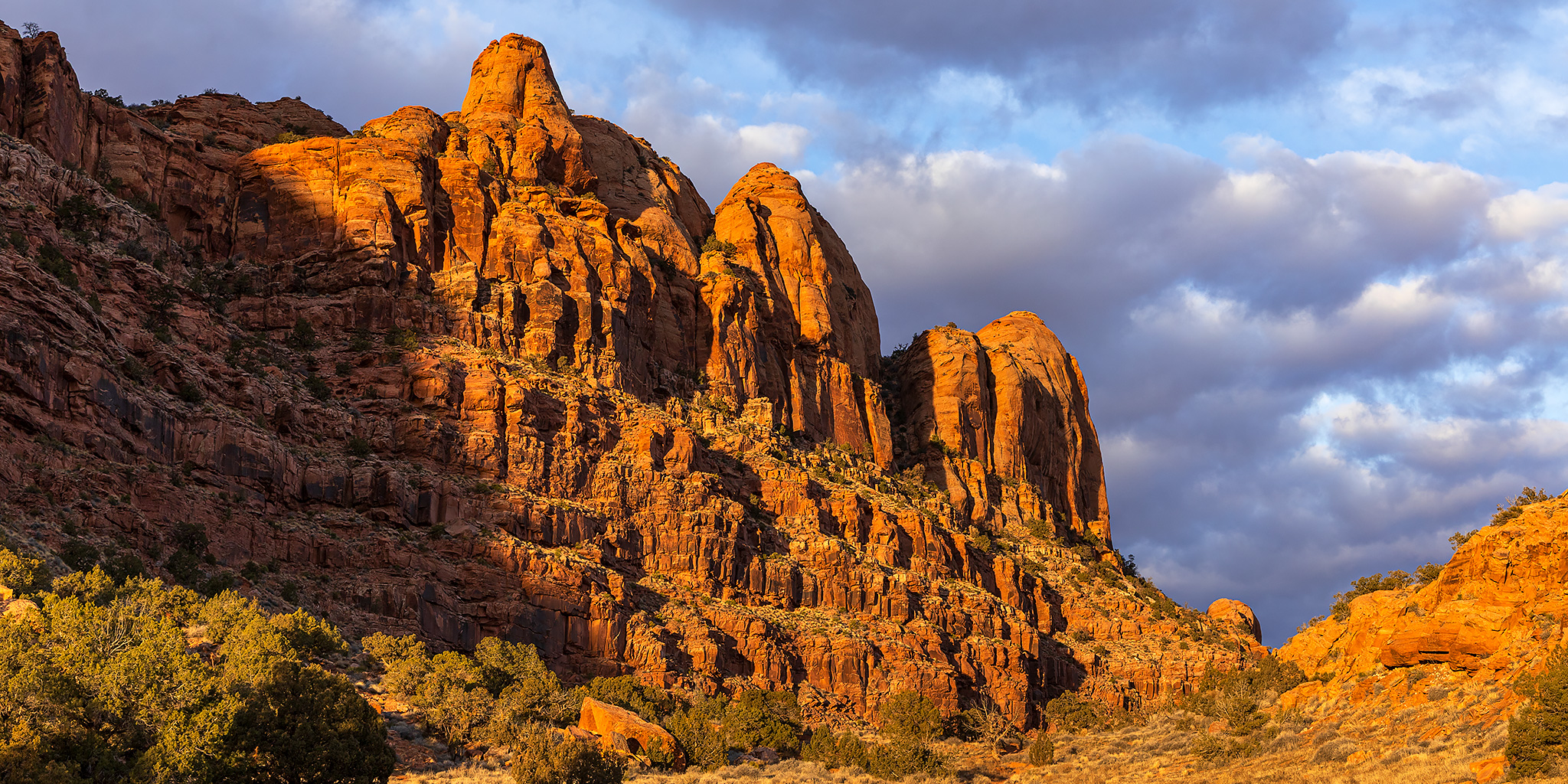
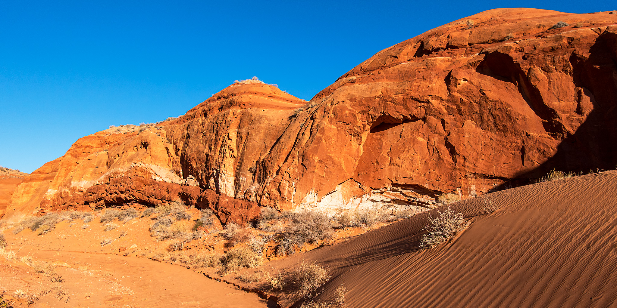
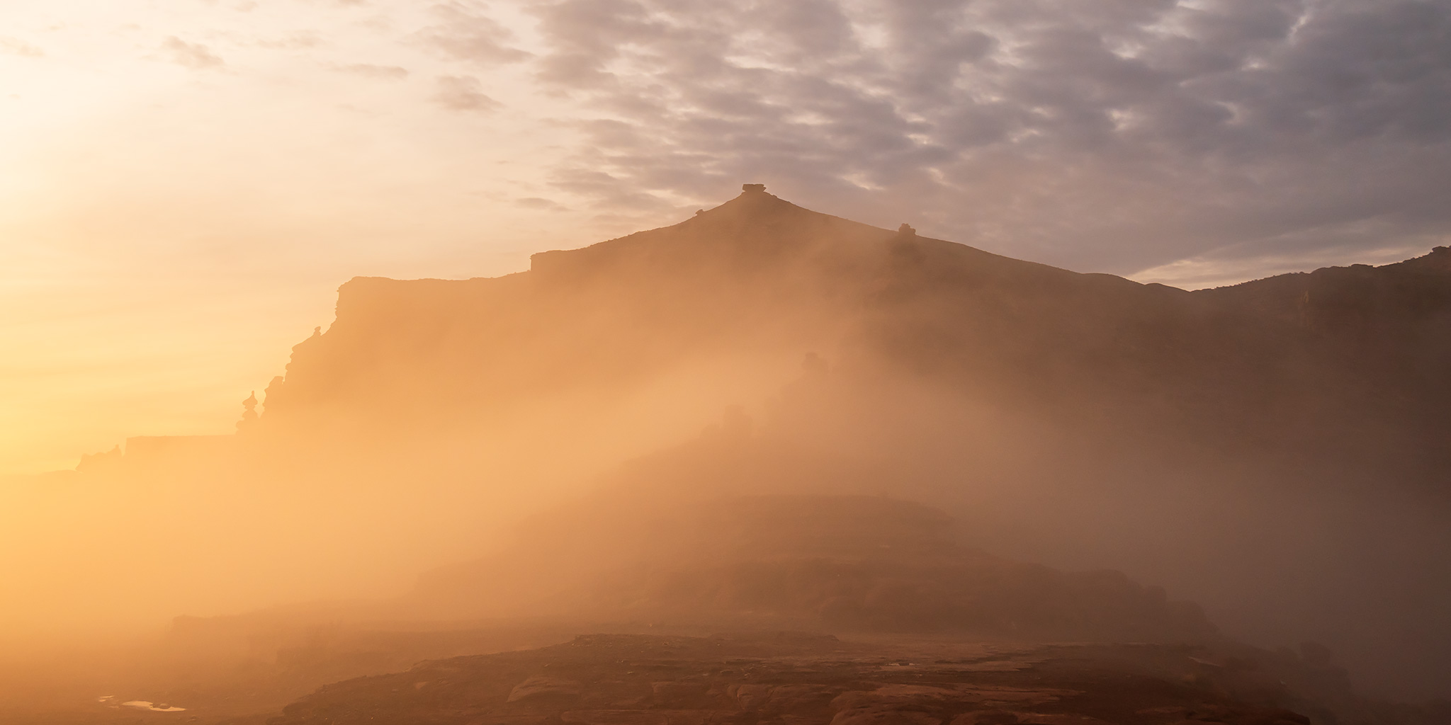
For the first weekend in 2026 I returned to Moab so I could spend a little time hiking and exploring around Kane Springs Canyon. Of course, similarly to last weekend I was stuck with overcast conditions again, except this time I was mostly in or under a layer of low clouds and fog. After leaving home early on Saturday morning it was a slower than usual drive to Moab since I had to drive through a thick layer of fog pretty much the entire way with the temperatures hovering around freezing. It was still foggy out when I reached the mouth of Kane Spring Canyon, so instead of going on my first hike right away I decided to continue up the canyon to Hurrah Pass to see if I could get above the fog for some photos at sunrise. This turned out to be a really good choice since I was able to get out of the fog for a little bit, until it finally enveloped the pass. Then I returned to the Amasa Back Trailhead and started hiking with hopes that the fog would burn off soon.
1 Comment