Wednesday – Friday, August 14-16, 2024
This week I left after work on Wednesday afternoon and headed east on I-70 towards Eagle so I could spend Thursday and Friday attending the annual GIS Colorado Summer Meetup, which was being held at the Sylvan Lake State Park campground this year. I exited from the interstate at Gypsum and followed the road along Gypsum Creek around Hardscrabble Mountain below the edge of the Red Table Mountain as I hoped to take the backroads to Sylvan Lake, but when I was only a few miles away I ran into wet roads that were slick with mud and had to turn back and go around the long way through Eagle. I haven’t had good luck with the slick muddy roads in this area in the past, so I didn’t want to take any chances! Here are some photos from a few days spent at the Elk Run Campground next to Sylvan Lake.
The Gypsum Creek Road started off easy and well maintained but the conditions quickly deteriorated shortly after passing the turnoff to the LEDE Reservoir, forcing me to turn back and go around the long way.
Red Table Mountain
Dark clouds started to fill the sky as I drove back down alongside Gypsum Creek.
After the backtracking through Gyspum and Eagle, I finally reached Sylvan Lake State Park.
On Thursday morning I was up before sunrise and went for a walk all the way around Sylvan Lake. There wasn’t a cloud in the sky when I first started hiking.
It must have rained pretty hard overnight because all the vegetation along the trail was soaked, and my pants, shoes and socks were drenched after hiking only a short distance.
This beaver was swimming in the lake and slapping its’ tail on the water at me as I passed by.
Looking back to the shoulder of Hardscrabble Mountain as I neared the opposite end of Sylvan Lake.
Although the sky was clear when I started hiking, it wasn’t long until clouds started filling up the sky.
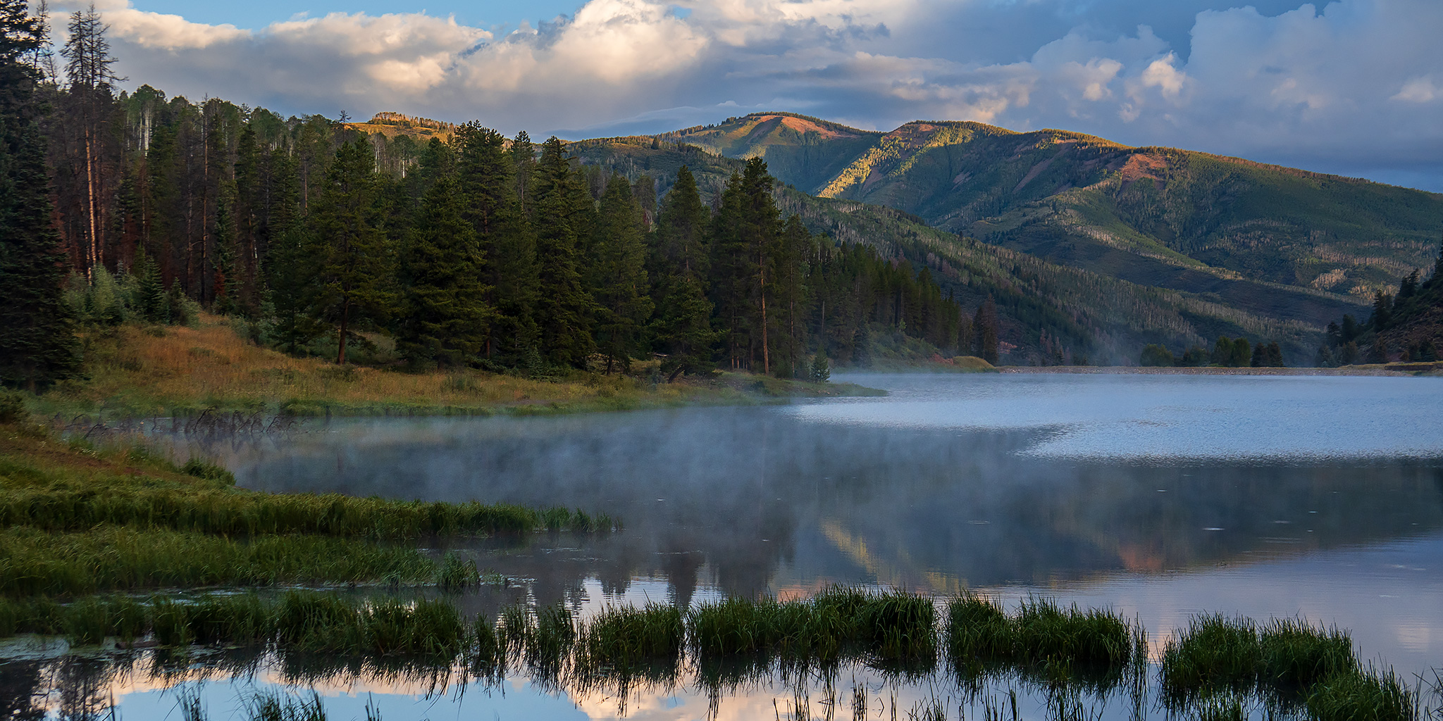
Even though I was thoroughly soaked by now, it was still a lovely morning at Sylvan Lake.
Moody Morning
The steam fog really added to the scenes this morning.
Here’s one last view of Mount Thomas over Sylvan Lake before I returned to meet up with the rest of the group at camp.
A little later that morning the group all headed up to Fulford Cave to practice a little LiDAR inside.
This angled culvert with a ladder inside is the entrance to Fulford Cave. Unfortunately, it was too small and awkward for me, so I stayed outside.
Looking down into the entrance of Fulford Cave.
Above the culvert entrance, there is another opening to the cave, but this one requires a rappel to get down into the cave.
Upper Fulford Cave
On Friday morning I went for another sunrise hike around Sylvan Lake and crossed over West Brush Creek just above the inlet.
There wasn’t a cloud in the sky this morning.
By the time the GIS talks concluded in the early afternoon on Friday the dirt roads in the area had had enough time to dry out and I was able to drive over Hardscrabble Mountain on my way back to Eagle for gas and food.


