Press "Enter" to skip to content

Tag: steam fog

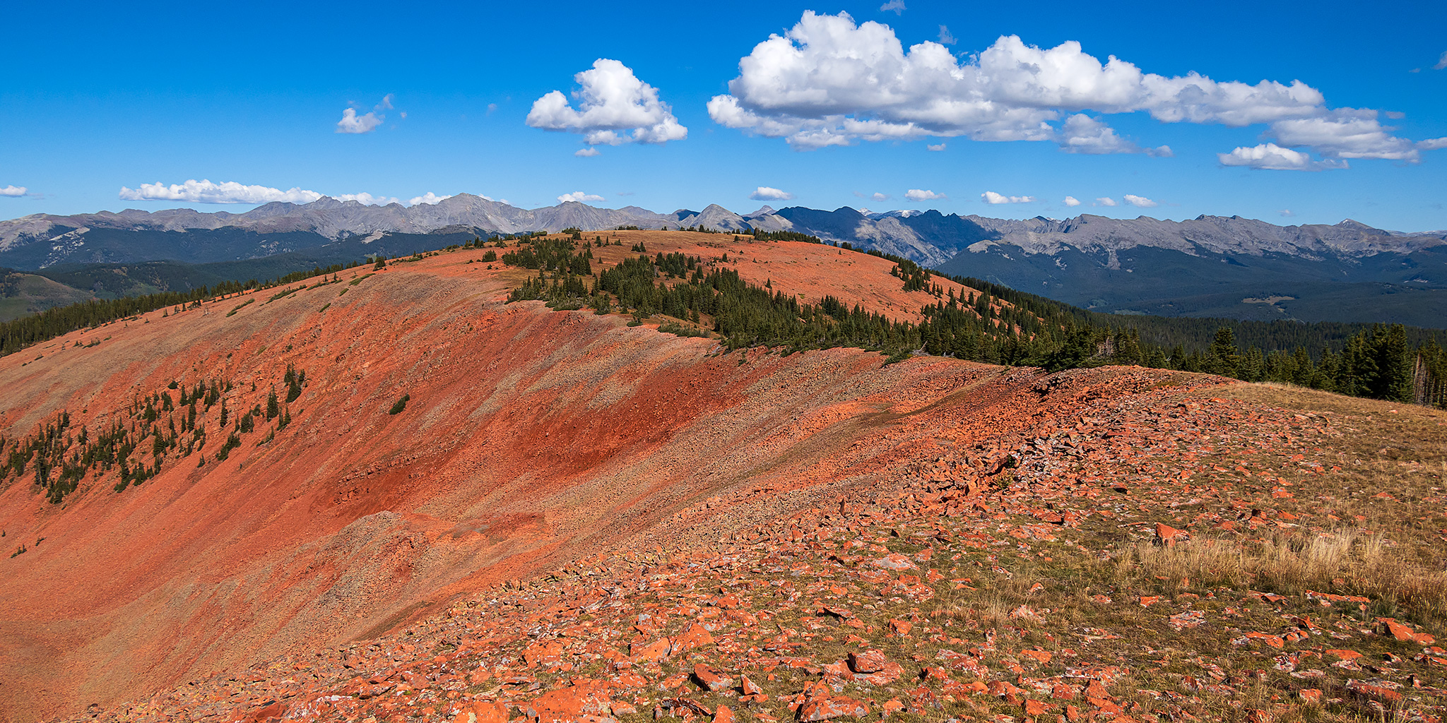
Red Table Mountain: Crooked Creek to Mount Thomas

Around the Red Table: Crooked Creek Pass & Cottonwood Pass
Friday – Sunday, September 15-17, 2023

This weekend I headed out to the very northern end of the Sawatch Range so I could drive around and explore Red Table Mountain, which is located just west of the Holy Cross Wilderness between Gypsum, Eagle and Thomasville. I left from work on Friday afternoon, stopped in Rifle for gas and a bite to eat, and then continued on through the Roaring Fork Valley to Basalt where I turned off and followed the Fryingpan River to Lime Creek. Although I had driven through a couple heavy rain storms along the way, I found the beginning of the Crooked Creek Pass Road to be in good condition when wet, but that quickly changed as I dove higher and found some very slick conditions. After sliding off the road into the ditch twice, and thankfully not off the other side of the road, I found a small level spot to pull over and spend the night at. I had had enough of the slick and slippery road and felt it was too sketchy to continue driving up to the pass or turning around and heading down, so I was hoping that the road would dry out a bit overnight.

Leave a Comment

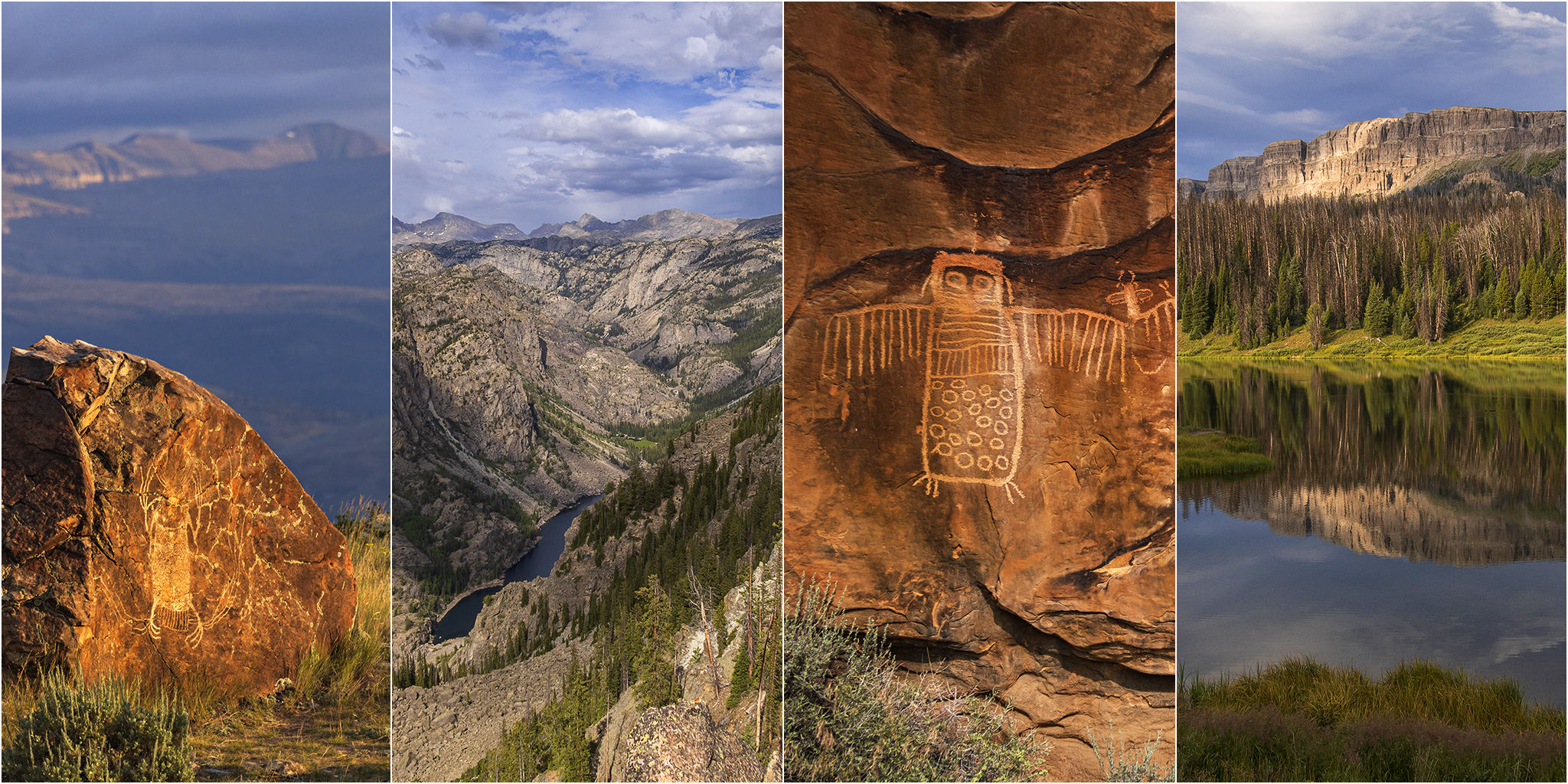
Wind River Country and the Absaroka Range

Encircling the Wind River Range: Rock Art of the Wind River & Bighorn Basin
Tuesday – Sunday, August 15-20, 2023

After spending the past three days on the Ruby – Horsethief section of the Colorado River it was time for our biennial return to the Wind River Range in Wyoming to begin. Ever since our first trip in 2017 to see the Great American Eclipse, we’ve made it our goal to try and return every other year, which so far we have been able to keep up. Although we have typically gone on a longer backpacking trip during each visit, this year I was more interested in visiting some rock art sites near the Wind River and in the Bighorn Basin that I’ve wanted to see for a long time. So with limited time preventing a longer backpacking trip, we instead looked into going on some shorter day hikes and even branched out into visiting the nearby Absaroka Range for the first time.

2 Comments

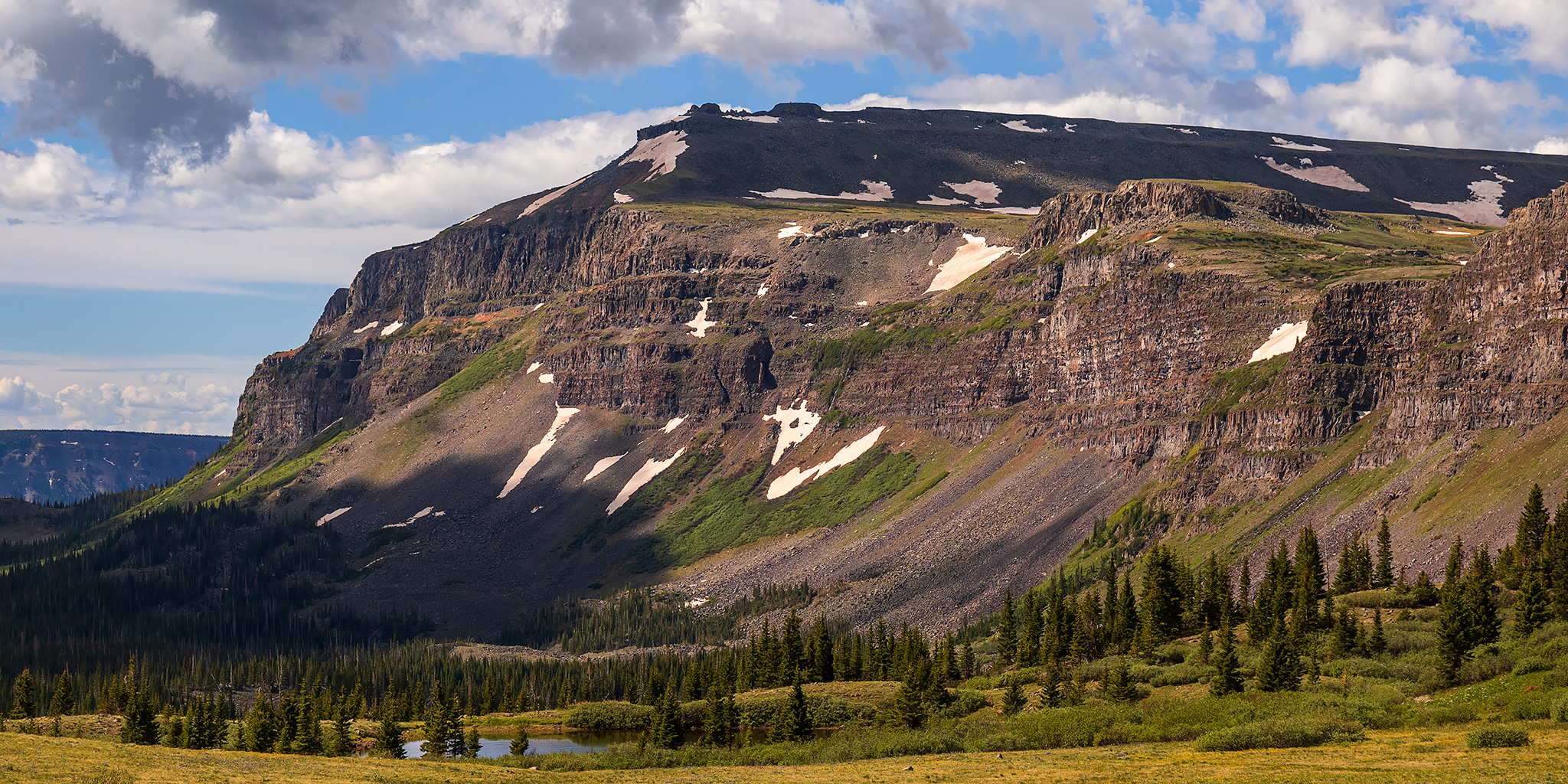
High Mesas and Plateaus of Western Colorado

Flat Top Mountain, Blair Mountain and the Roan Plateau
Friday – Sunday, June 24-26, 2022

This weekend I planned to spend my time hiking and driving to a couple highpoints of the high mesas and plateaus of Western Colorado, starting with a hike I’ve been looking forward to for a while into the Flat Tops Wilderness on Saturday morning. I left after work on Friday afternoon, grabbed a quick dinner in Glenwood Springs and then followed the Colorado River to Dotsero and McCoy and then took Highway 131 north to Yampa. There were storms in the area this afternoon and I was a little worried that Glenwood Canyon might get closed by Flash Flood Warnings, which has been common lately, but thankfully that did not happen. Once I reached Yampa I started following the Bear River on my way to the Stillwater Reservoir, and turned off to take a side road up to Gardner Park to find a spot to camp for the night. I watched the sunset from the edge of the Gardner Park Reservoir and then went to bed early so I could get an early start on Saturday.

Leave a Comment