Return to Saguaro National Park & Petroglyphs of the Tucson Area
Arizona Winter Loop | Wednesday – Thursday, February 1-2, 2023
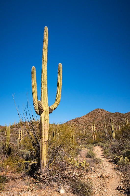
After leaving the Sky Islands late on Wednesday afternoon we headed northwest into the Sonoran Desert near Tucson so we could spend the next day hiking in the Tucson Mountain District of Saguaro National Park, which we had not been back to since our Honeymoon Adventure in 2017. During that previous visit we really only had time to tour the park roads and go on a short hike to the petroglyphs of Signal Hill, so I was looking forward to hiking a little deeper into the park this time. After grabbing dinner in Tucson, we drove around the southern end of the Tucson Mountains in the late evening as we made our way over to the Gilbert Ray Campground in the Tucson Mountain Park. We arrived just in time to get our tent setup before it got dark out.
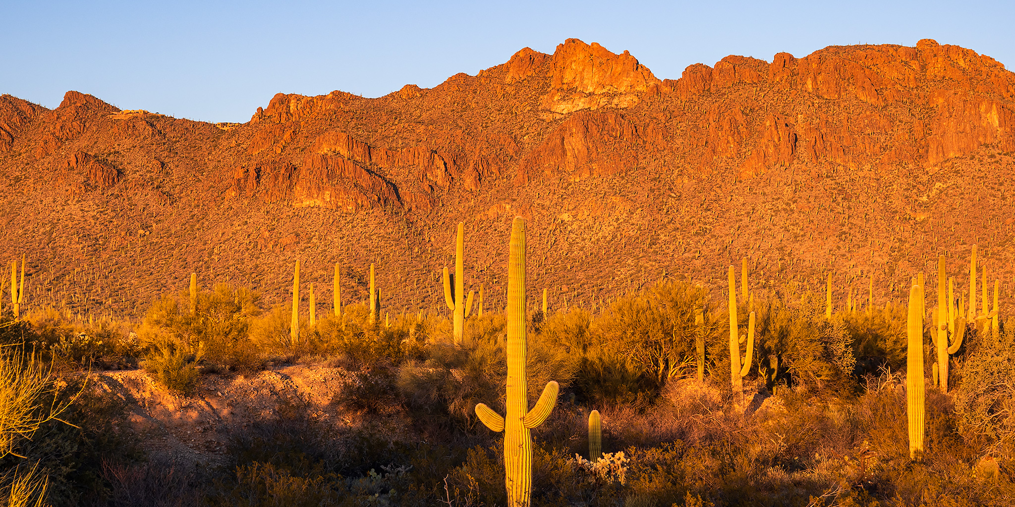
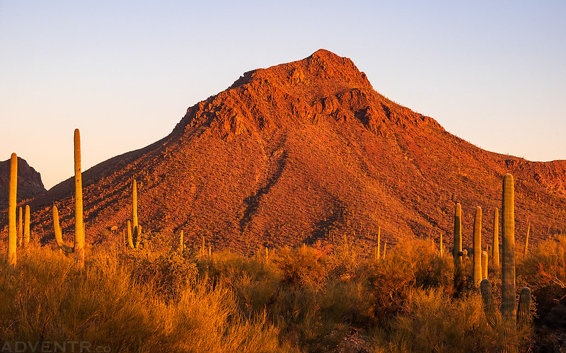
The evening light was looking good as we drove past Golden Gate Mountain, so we stopped for a quick photo.
We were up and out of the campground before sunrise on Thursday morning so I could get an early start hiking to the summit of Wasson Peak, which is the highest peak in the Tucson Mountains. The King Canyon trailhead was just a couple miles down the road from camp, so it was a short drive to start the hike.
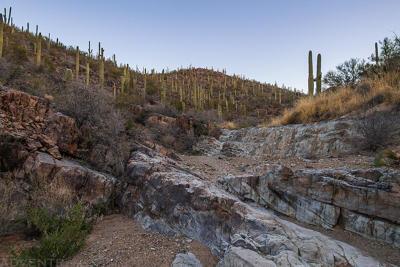
King Canyon at Dawn
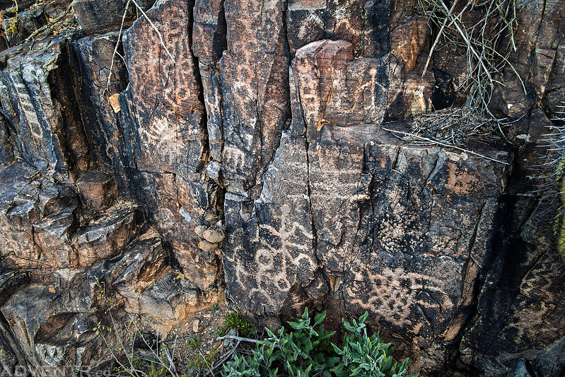
We followed the King Canyon Wash Trail so we could check out the petroglyphs along the way.
We watched the sun strike the mountains above as we hiked up the wash.
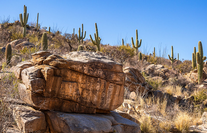
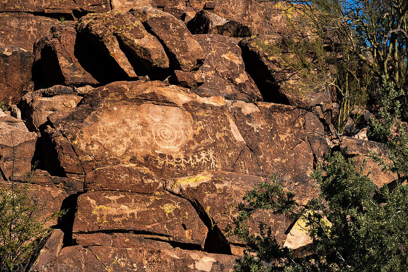
King Canyon Petroglyphs
Once we reached the Mam-A-Gah Picnic Area, Diane and I went in separate directions. She was going to hike the shorter and easier Gould Mine Loop while I continued up to the summit of Wasson Peak.
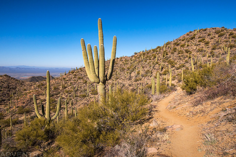
As soon as I reached the first high saddle at the junction with the Sweetwater Trail, I had a hazy view of the surrounding Tucson Mountains.
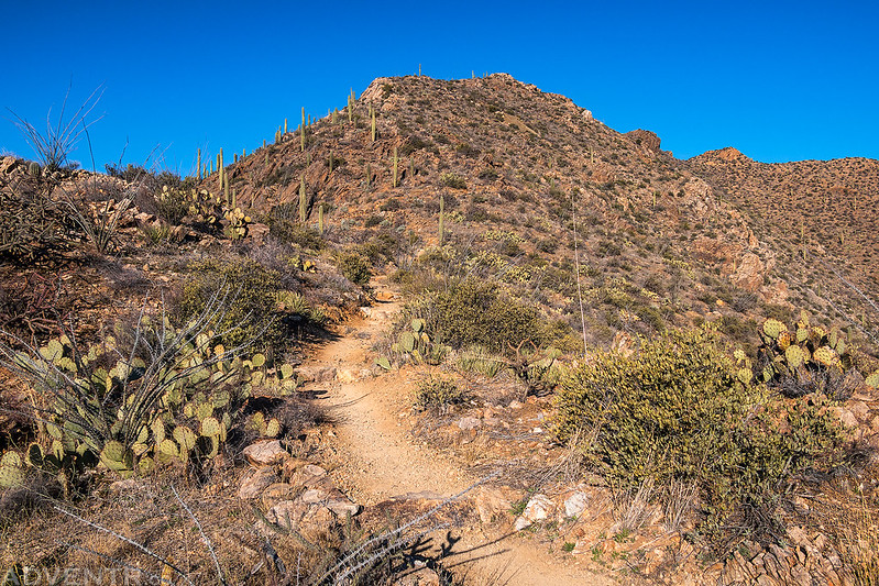
From the saddle I also had my first view of Wasson Peak as I followed the trail higher.
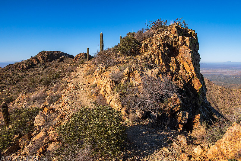
Wasson Peak Trail
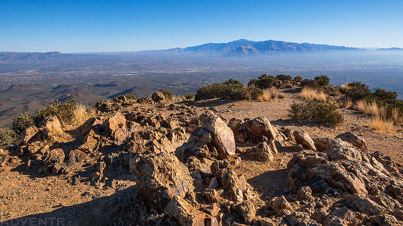
My view west from the summit of Wasson Peak (4,687).
Wasson Benchmark
It was a bit hazier looking the other direction over Tucson to the Rincon Mountains.
After enjoying the views from the summit for a little bit, it was time to head back down since Diane would be waiting for me at the trailhead.
I followed the Hugh Norris Trail down past Amole Peak to the Sendero Esperanza Trail to create an 8-mile loop.
I passed this stone building shortly before reaching the Gould Mine Trail.
Gould Mine Trail
Honey Bee Canyon Petroglyphs
After returning the the trailhead we had a couple errands to run in town, but while we were out and about we also took some time to visit a pair of petroglyph sites- starting with Honey Bee Canyon near Oro Valley.
Walking up the sandy wash in Honey Bee Canyon.
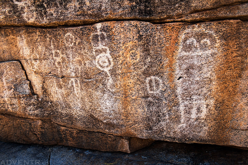
Honey Bee Canyon Petroglyphs
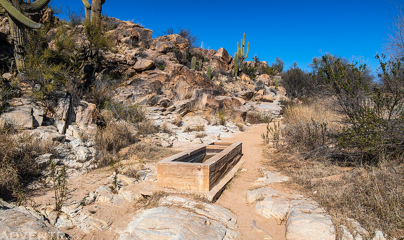
This concrete tank was in the wash just below an old dam in the canyon past the petroglyphs.
Picture Rocks Petroglyphs
On our way back to the campground in the late afternoon we drove around the northern end of the Tucson Mountains and stopped to visit the Picture Rocks Petroglyphs.
When we arrived back to our campsite we had some time to rest and relax before sunset.
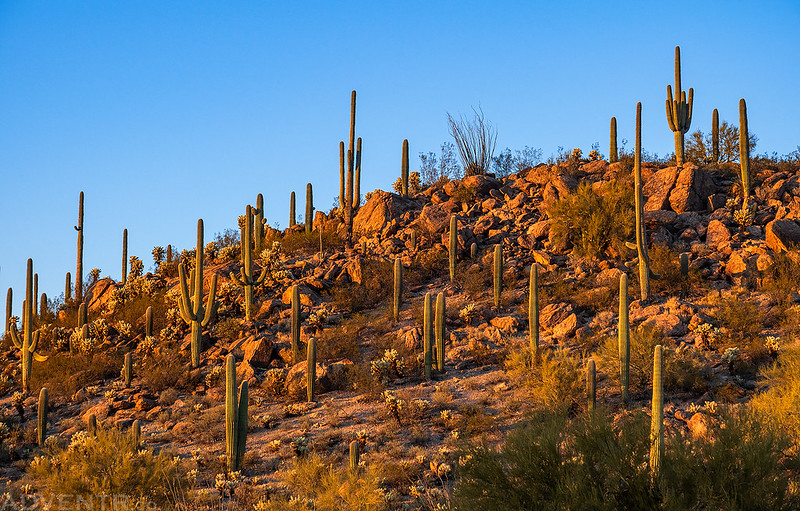
I went for a short walk near camp at sunset to take a couple photos.
