Arborglyphs on the Uncompahgre Plateau
Saturday, October 12, 2019
After spending last week hiking through the Canyons of the Escalante I decided to take it easy this weekend and stay close to home. Since I skipped out on photographing fall colors this year, I wanted to see if there were still any left up on the Uncompahgre Plateau and get a little hiking in while I was up there, so I decided to head that way on Saturday morning. It’s been a while since I headed out my door on a weekend without an itinerary in place, but that’s what I felt like doing today.
After breakfast I drove to Delta in the early morning and then headed up Transfer Road onto the Uncompahgre Plateau which was quite a bit rougher than I remember it being, but it’s also been about ten years since the last time I drove it, so maybe my memory just isn’t that good. I made my way to the upper reaches of Roubideau Canyon located within the Roubideau Area, which is a special management area that was set aside by Congress in 1993 to protect it from development and motorized vehicles. After looking over maps of the area I decided to hike a loop consisting of the Old Roubideau Trail and the Pool Creek Trail so I could search for historic arborglyphs carved into the mature aspen trees by sheepherders in the early to mid 1900s. I started my hike from near the old Gray Cow Camp and descended to Goddard Creek on the Old Roubideau Trail. It doesn’t appear that this trail gets too much use since there were a lot of downed trees across the trail throughout my hike, but most of them were easy enough to get around.
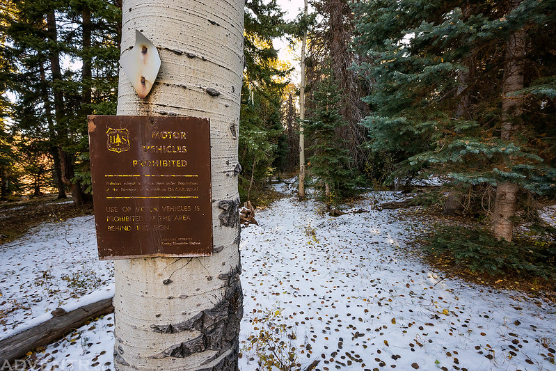
While there was no trailhead sign at the beginning of the trail, there was this ‘Motor Vehicles Prohibited’ sign. As you can see there was a fresh layer of snow on the ground in the shade when I started hiking.
After winding my way through the first aspen grove at the beginning of the trail I crossed a large clearing as I neared the edge of the canyon.
Descending the Old Roubideau Trail to Goddard Creek.
Many of the aspen trees had already lost all their leaves, but there were still a few yellow ones sticking around.
After crossing Goddard Creek I climbed up the bench on the other side into a large aspen forest and started looking for arborglyphs. Leaves continually fell around me as I hiked through the forest.
Many of the carvings were pretty old and hard to read, but I was able to find quite a few dates from between the 1930s and 1950s. This one appears to be dated from 1948.
Here’s an older looking one that appears to be from 7/14/32.
That looks like 1944 at the top.
1943 on the right side.
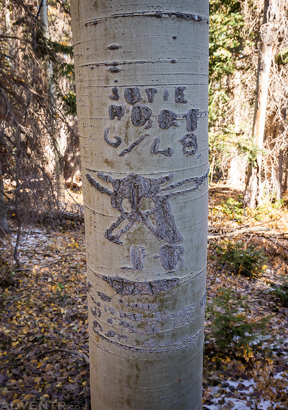
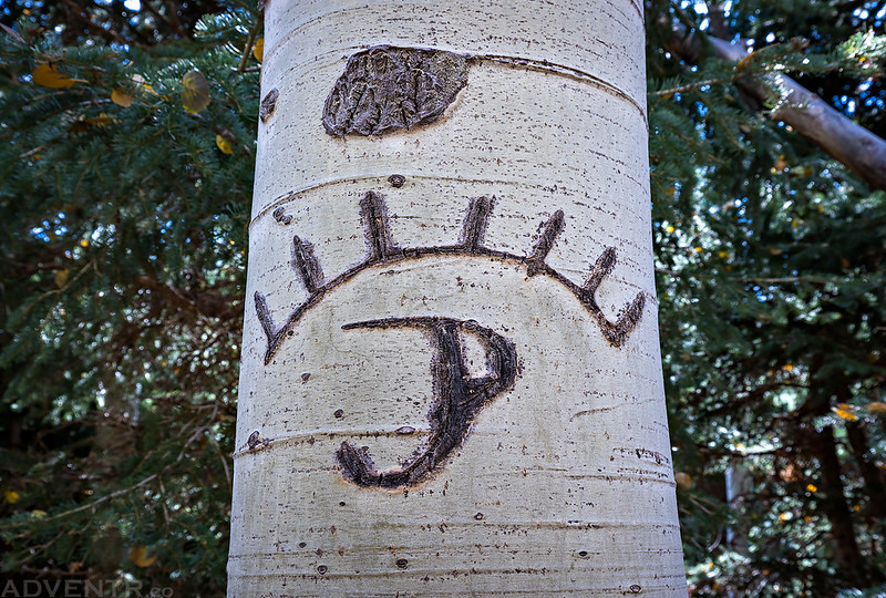
This was one of the few that I found that wasn’t just letters and numbers, but actually included a design. I’m pretty sure I missed quite a few in this area and I might need to return again to search for more.
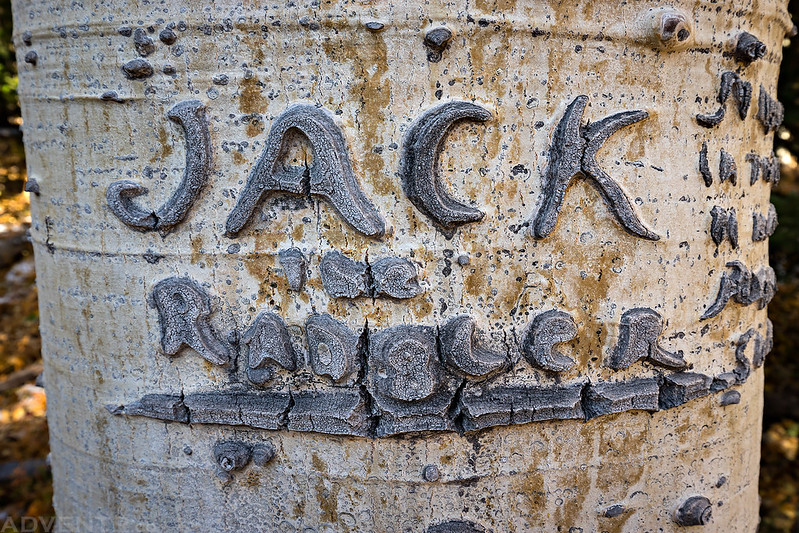
Jack…
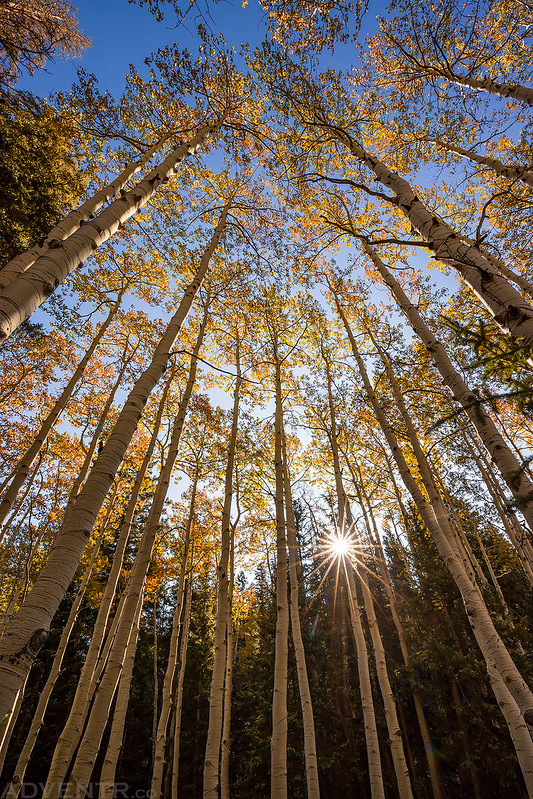
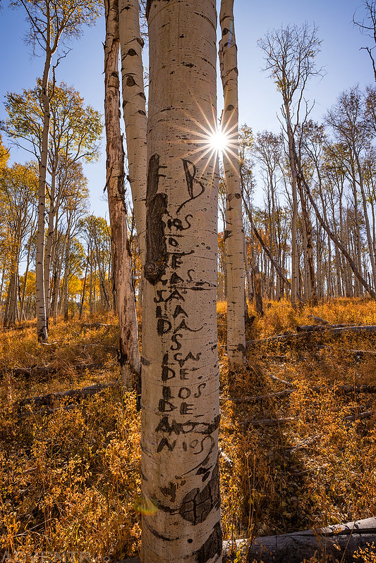
A sunstar through the aspen trees.
Arborglyphs with another sunstar.
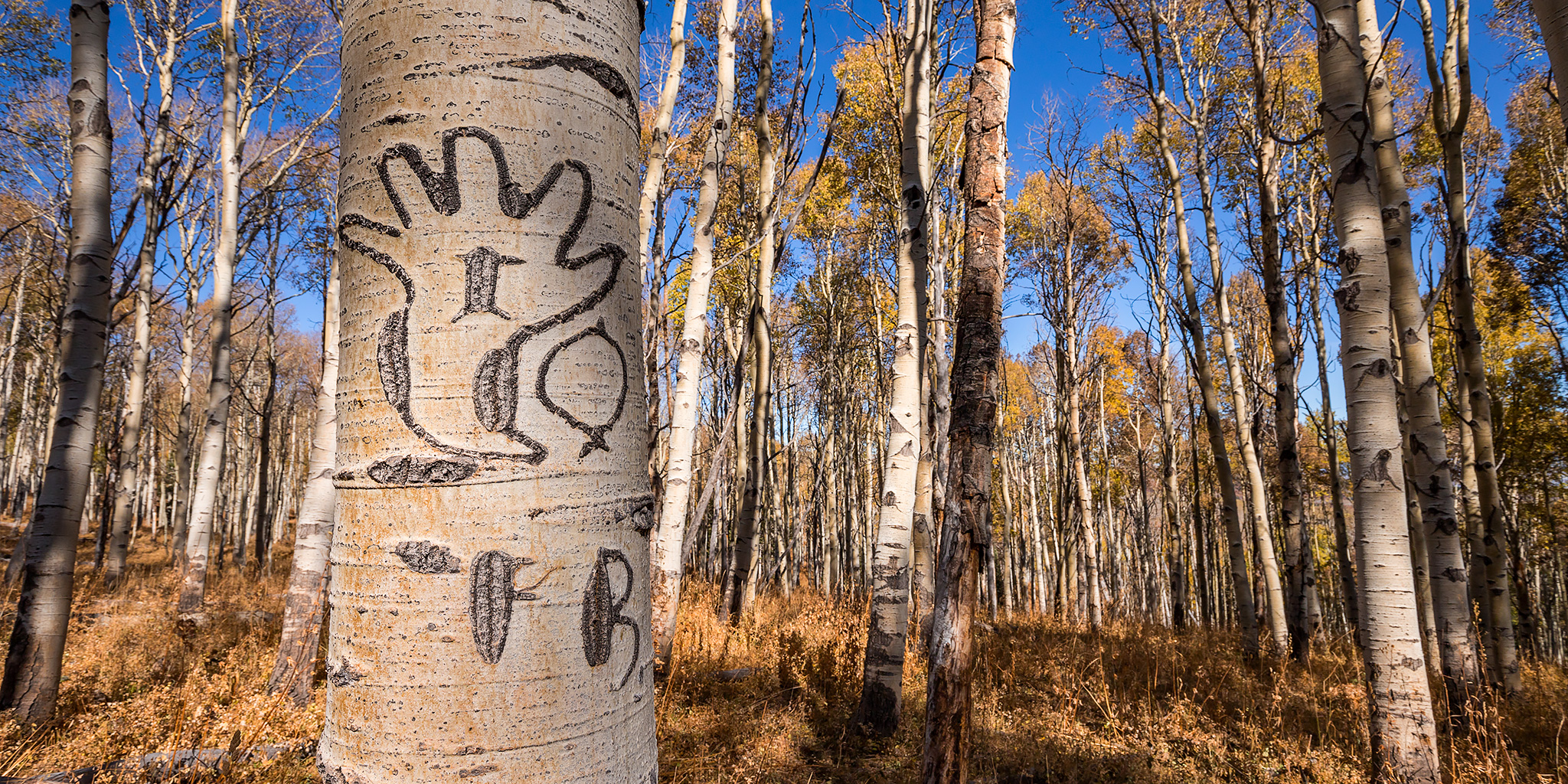
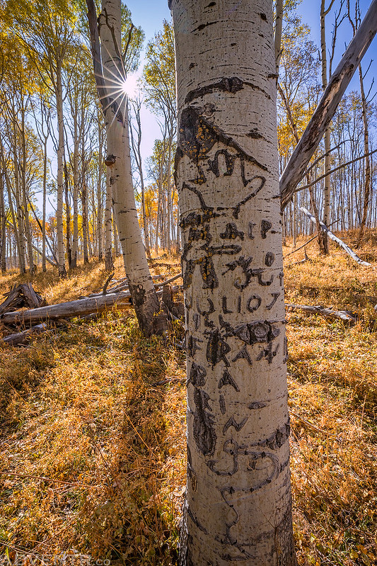
At the far end of the bench closer to Pool Creek I came across a few trees with hands carved into them. I’m not sure if the initials read FB or FR, but I found those same initials on quite a few of the trees in the area. This person was very prolific in the area.
Another tree with a handprint.
The date on this tree looks like it could be 1928 and maybe even 1925 above that. If so, this was the oldest inscription I saw all morning.
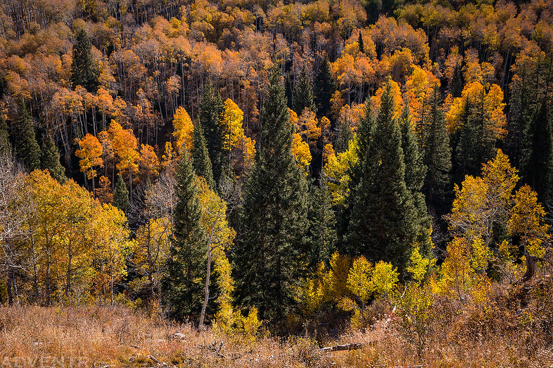
Fall colors below as I descended from the bench to Pool Creek.
This Is A…
I saw at least one other carving like this earlier in the day, so I took a photo of this one.
Hiking up the Pool Creek Trail back to the top of the Uncompahgre Plateau near Divide Road. When I reached the trailhead I followed the Tabeguache Trail back to the road my Jeep was parked along.
Instead of driving back down Transfer Road on my way home, I took Old Highway 90 and then followed the Rim Road back to the Tabeguache Trailhead. Along the way I stopped at a couple overlooks of Dry Creek but I didn’t take any more photos. It was a nice easy day on the Uncompahgre Plateau!
