Arches National Park | Friday – Saturday, December 14-15, 2018
Salt Wash begins its journey near Thompson Springs at the southern end of the Book Cliffs just east of Sego Canyon. From there it meanders generally south across Yellow Cat Flat and joins up with Lost Spring Canyon inside the boundary of Arches National Park. This desert wash eventually passes by the Wolfe Ranch near the popular trailhead for Delicate Arch as it enters Cache Valley and then carves a deep canyon through Dry Mesa just east of The Windows before finally reaching the Colorado River. I have studied this particular canyon on maps over the years and thought about hiking it a number of times before, but I always seem to find somewhere else I’m more interested in going instead. I haven’t found much information about hiking this canyon and wasn’t sure what to expect, but I guess that is what intrigued me about this location in the first place.
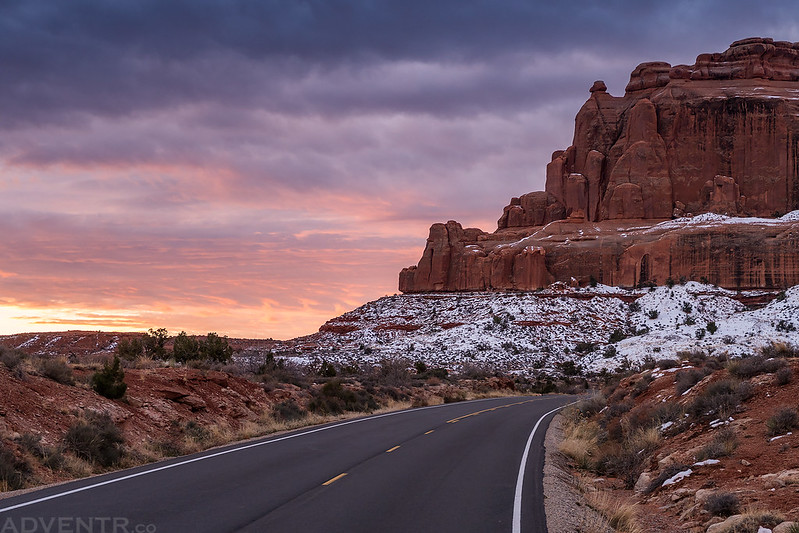
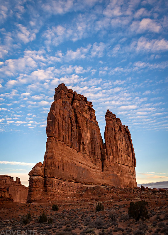
A beautiful sky before sunrise along the road in Arches National Park near the Courthouse Towers.
Since I stayed home last weekend to repair my Jeep and go to a concert, I definitely needed to get back outside again this weekend. Now that the busy season has finally slowed down around Moab, I wanted to head back to do some more exploring in Arches National Park. A few weeks back I had mentioned to my friend Jackson that I was interested in hiking this canyon in the backcountry of Arches and he said that he wanted to go with me, so we planned it as a day-trip on Saturday.
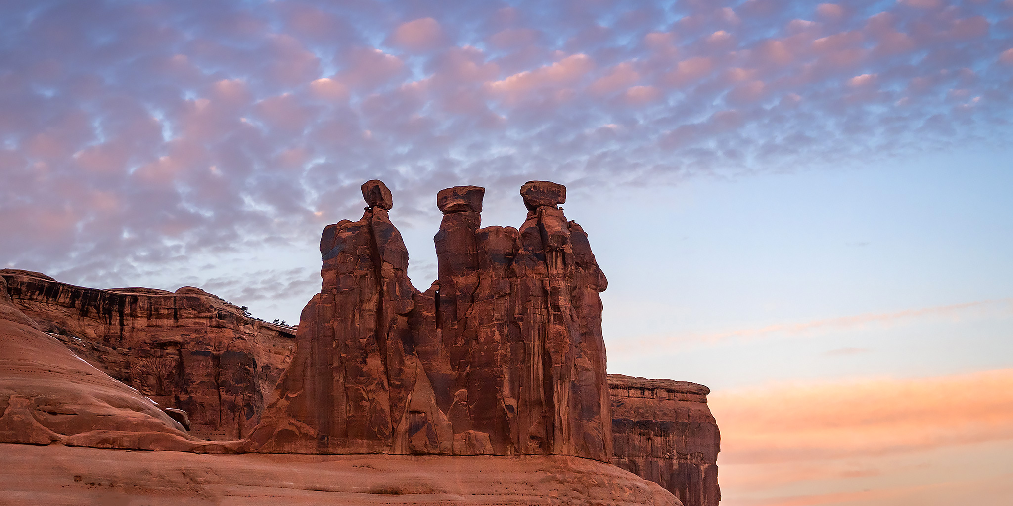
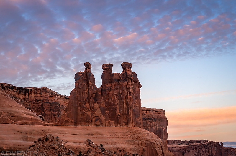
There were some very nice clouds above the Three Gossips this morning.
Since I was only one night short of camping 80 nights this year, I decided to leave after work on Friday so I could spend the night along the Willow Springs Road just outside of Arches National Park and meet my adjusted goal. I woke up early on Saturday morning and then headed into the park on the main road so I could take a few photos near the Courthouse Towers area at sunrise. There were some nice clouds in the sky for a little while this morning, but there were also clouds on the eastern horizon that blocked any direct light after the sun came up. By the time the sun did come out, the nice clouds had already dissipated.
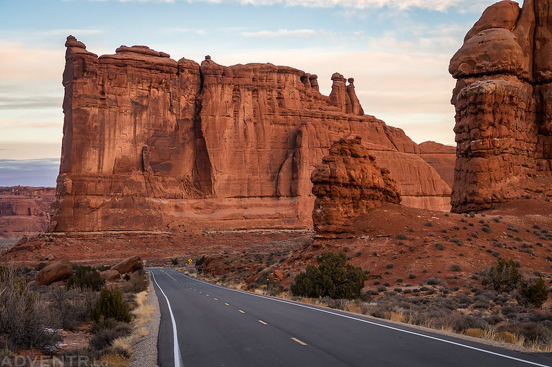
Down the road to the Tower of Babel.
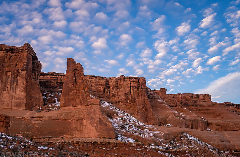
The clouds were looking nice above The Organ.
Cliffs & Clouds
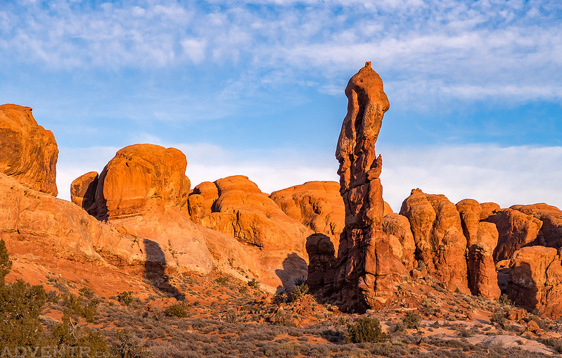
As I continued the drive to the Delicate Arch Trailhead the sun did finally come out when I was near this slender hoodoo.
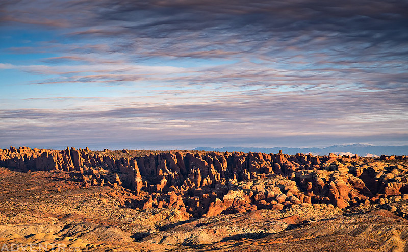
I made a quick stop at Panorama Point because of the interesting wavy clouds above the Fiery Furnace.
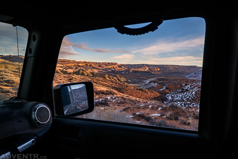
Looking out of my Jeep from the Cache Valley Overlook.
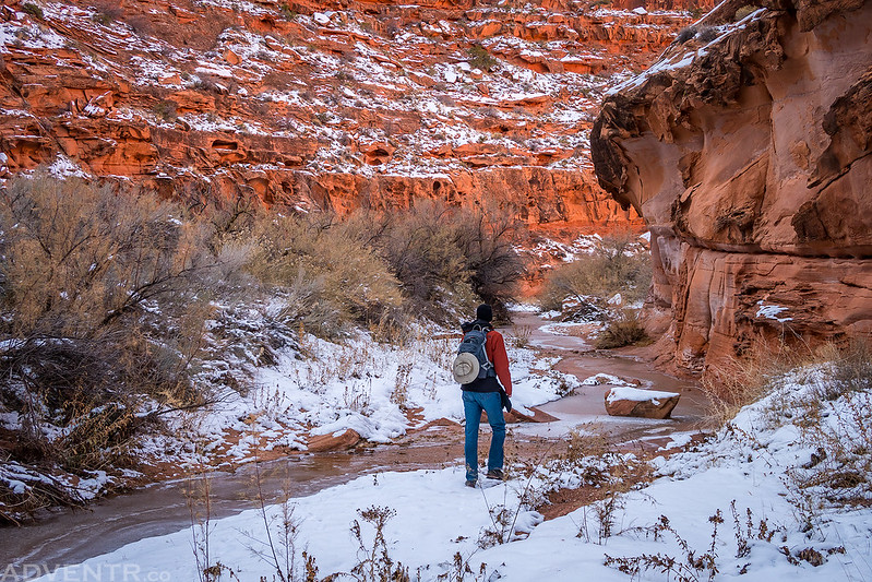
I finished up the drive to the Delicate Arch Trailhead and waited for Jackson to arrive. He showed up about ten minutes after me. We made sure we had everything we needed in our backpacks for the day and started hiking to the entrance of the canyon shortly after 8:30am. While I knew there would probably be occasional water in the wash based on satellite images of the canyon, I kind of expected that the wash would be mostly dry and we would have an easy time hiking right down it. Unfortunately, with all the snow still on the ground the wash was full of water and ice the entire way to the Colorado River which made the hike much more difficult than I had anticipated. We ended up having to continually find places to cross the creek, get around boulders and other obstacles and bushwhack through thick brush. At one point the routfinding was slowing us down so much that we didn’t think we would have enough time to make it to the river and back before dark, so we set a turnaround time of 1:00pm. Thankfully, we did make it to the Colorado River just after 1:00pm and were able to hike the entire length of the canyon.
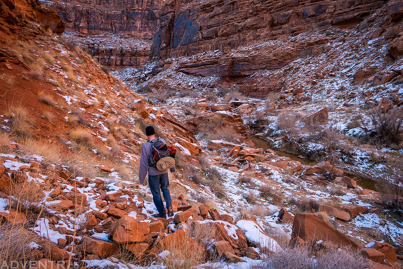
After bushwhacking through thick sagebrush along Cache Valley Wash we followed Salt Wash into the beginning of the canyon.
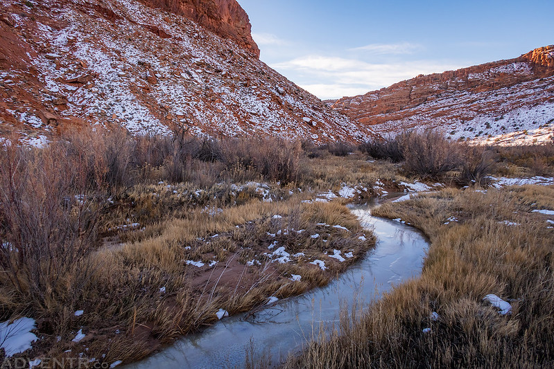
Yep, there’s definitely too much water and ice for us to hike right down the wash today…
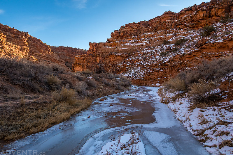
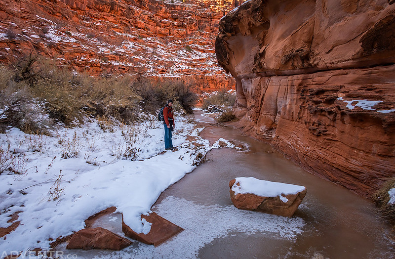
The ice was thick enough to cross in some places, too thin in others, and there was always water flowing underneath.
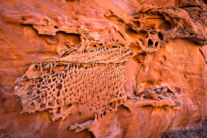
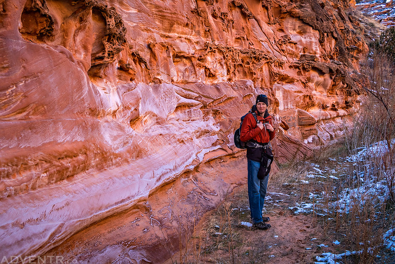
There was a lot of unusual tafoni all throughout the length of the canyon.
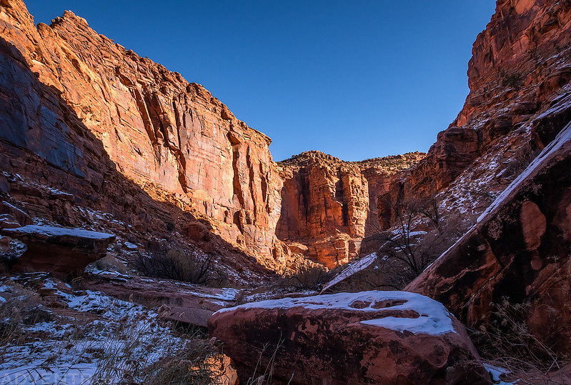
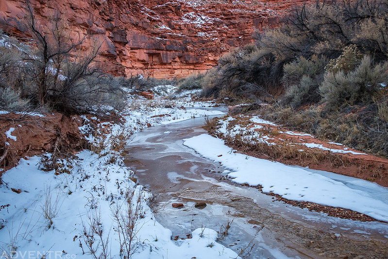
Besides ice in the creek, there was also a good layer of snow in the sections of the canyon that don’t see much daylight during this time of the year.
Hiking along the canyon wall.
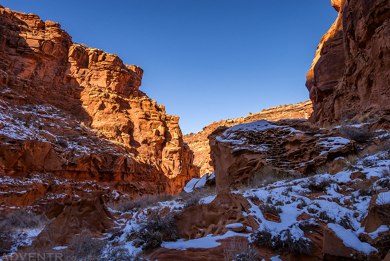
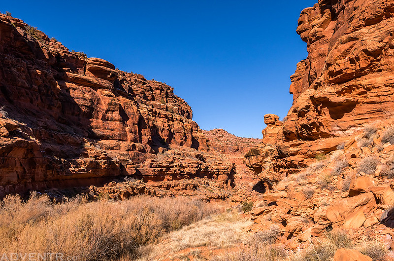
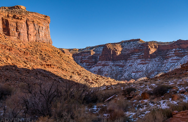
There was almost no snow in the sections of the canyon that get a lot of sunlight at this time of the year.
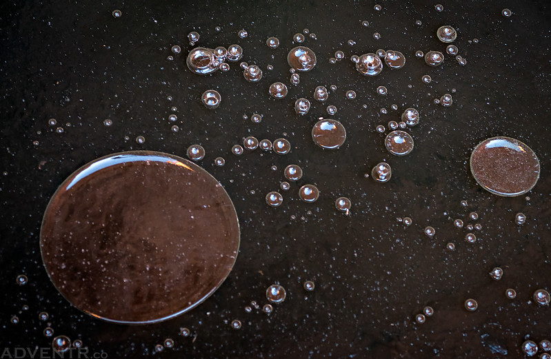
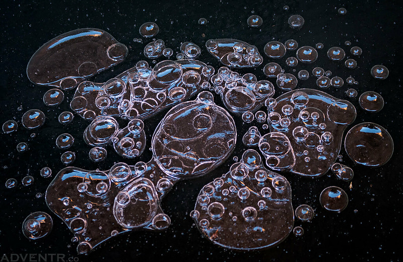
We stopped to check out a spring that smelled strongly of sulfur and found these bubbles trapped under the thin ice.
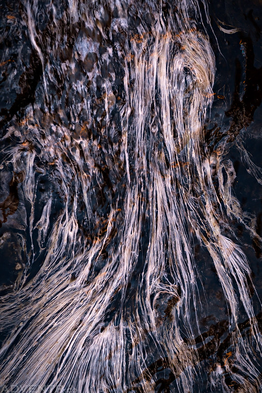
An abstract image of the water flowing below the spring.
Coming up to the last bend in the canyon before it opens up and straightens out all the way to the Colorado River.
The last mile of the canyon was the easiest hiking since it was a little more open.
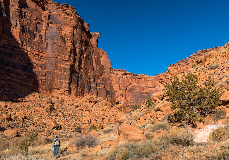
Hiking below the tall walls of the lower canyon.
Rock-hopping through the canyon…
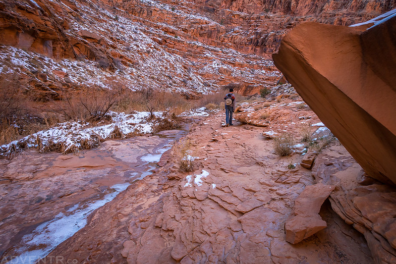
Jackson hikes ahead of me on a sandstone ledge above the creek. This was one of the easier sections in the lower canyon.
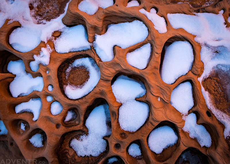
There was a lot of this interesting tafoni that was facing up on the floor of the canyon. Some of the little holes were filled with sand and some with snow.
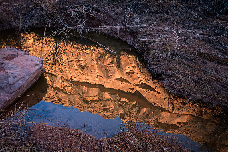
A reflection of the canyon wall in the creek.
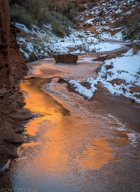
Warm light reflected from the cliffs above on the cold ice below.
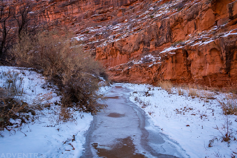
Following the icy creek back out of the canyon.
The entire hike took us all day and we didn’t arrive back to our vehicles until after sunset when it was almost completely dark out. We ended up hiking over 16 miles round trip and it certainly wasn’t easy hiking! According to Jackson we crossed the creek 72 times. My legs were pretty tired by the time I got back to my Jeep. We drove into Moab and had dinner at Pasta Jay’s (since the Moab Brewery was closed for a private party) before starting the drive back home. While Lower Salt Wash Canyon was an interesting place to explore once, it’s probably not a hike I would feel the need to repeat. Although, it’s always nice to explore a remote area of a popular park that doesn’t see many visitors.
>> Lower Salt Wash Canyon Photo Gallery

It seems your new camera does well to capture color and sharpness. I know the most impt.
element in photography is the eye of the photographer, but a good camera helps. I love most the photo of the water under the ice. Amazing image. Also, the ground tafoni is
quite interesting. I have only seen it on walls. The trip looked challenging just from
the icy terrain. Thanks for sharing the hike. Cool map to show where in the world….