Saturday, December 30, 2017
I’ve known about the existence of the Utah Launch Complex, also known as the Green River Launch Complex and Green River Missile Base in Green River for a long time, but I’ve never made the effort to go and check it out before. I always figured I’d have time to do that later and kept putting it off every time I was nearby. Earlier this year while visiting White Sands National Monument on our honeymoon, the thought entered the back of my mind that I should really take the time to get over to Green River and check out the old base sooner rather than later. So when I saw that Kurt from Expedition Utah was arranging a little trip to visit the site on Saturday, I knew it was time to finally go and check it out!
The Utah Launch Complex (Green River Launch Complex) was a Cold War military sub-installation of the White Sands Missile Range for United States Air Force and Army rocket launches. From this complex both Athena and Pershing missiles were launched on their way to the White Sands Missile Range in New Mexico. From 1964 to 1975 there were 244 launches which included 141 Athena missile launches. The very first Athena launch from the site was in 1964 which failed and fell near Durango, Colorado. The first Pershing launch also failed and landed near Creede, Colorado. If you are interested in learning more about the Green River Launch Complex, make sure to check out this page on Expedition Utah where Kurt has gathered a lot more detail about the site.
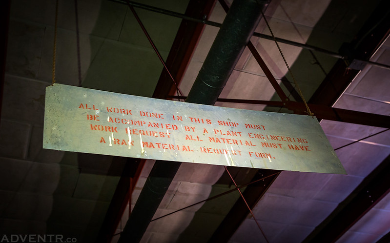
As you will probably notice, this trip report is a little bit different from the normal content I post on this website. I really enjoyed photographing the old signs we found around the base and took a bunch of close-up detail photos of the old buildings. I hope you enjoy the change of pace.
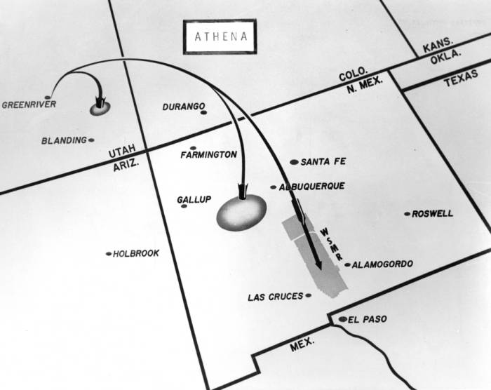
An old overview map that shows the basic route the missiles would travel from Green River, Utah to the White Sands Missile Range.
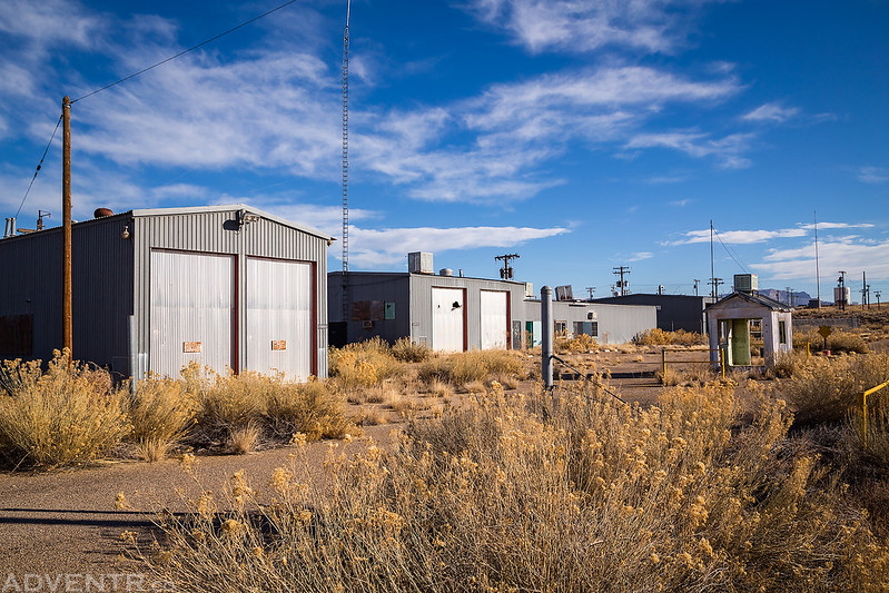
The guard shack at the main entrance of the Administrative Headquarters portion of the complex is found within the city limits of Green River. This part of the complex included administrative buildings, a fire station, church, recreation hall and gym. Not all of those buildings are still around, though.
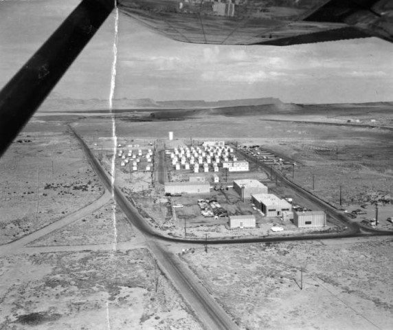
Here’s an old aerial view of this part of the complex.
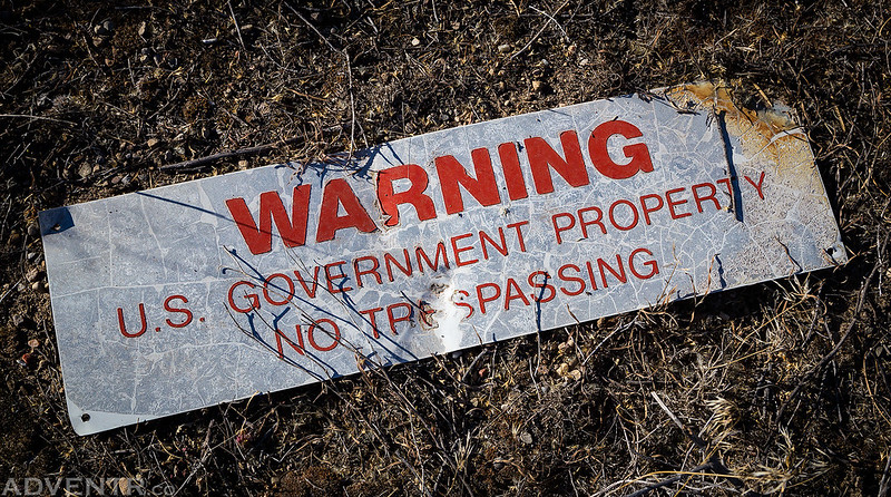
Warning. U.S. Government Property. No Trespassing.
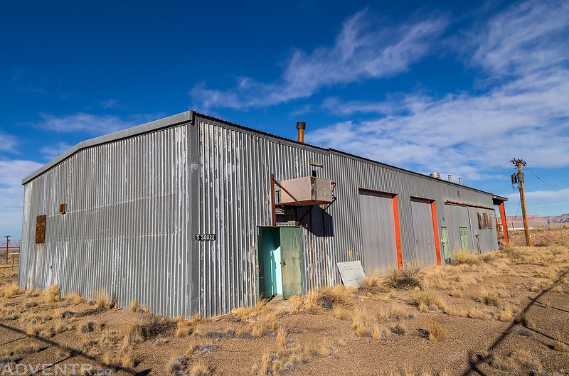
Building S 50022
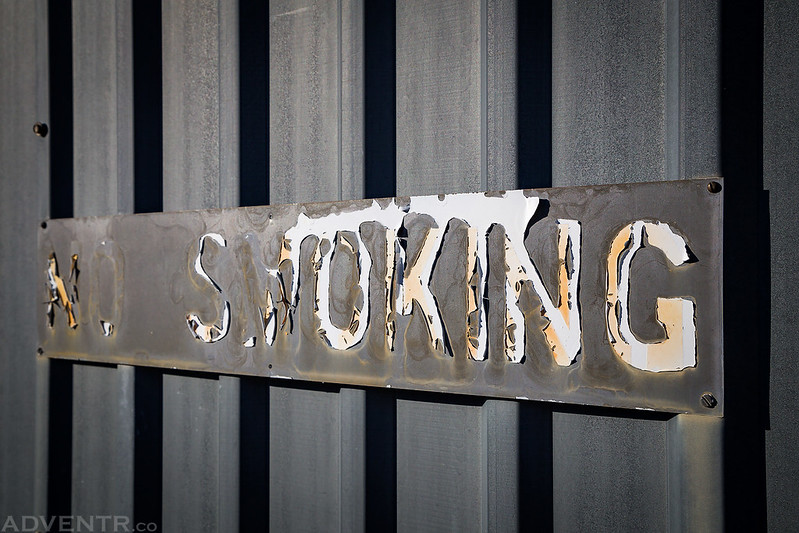
No Smoking
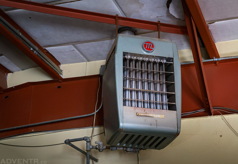
Contents Pending Analysis…
Kurt never listens…
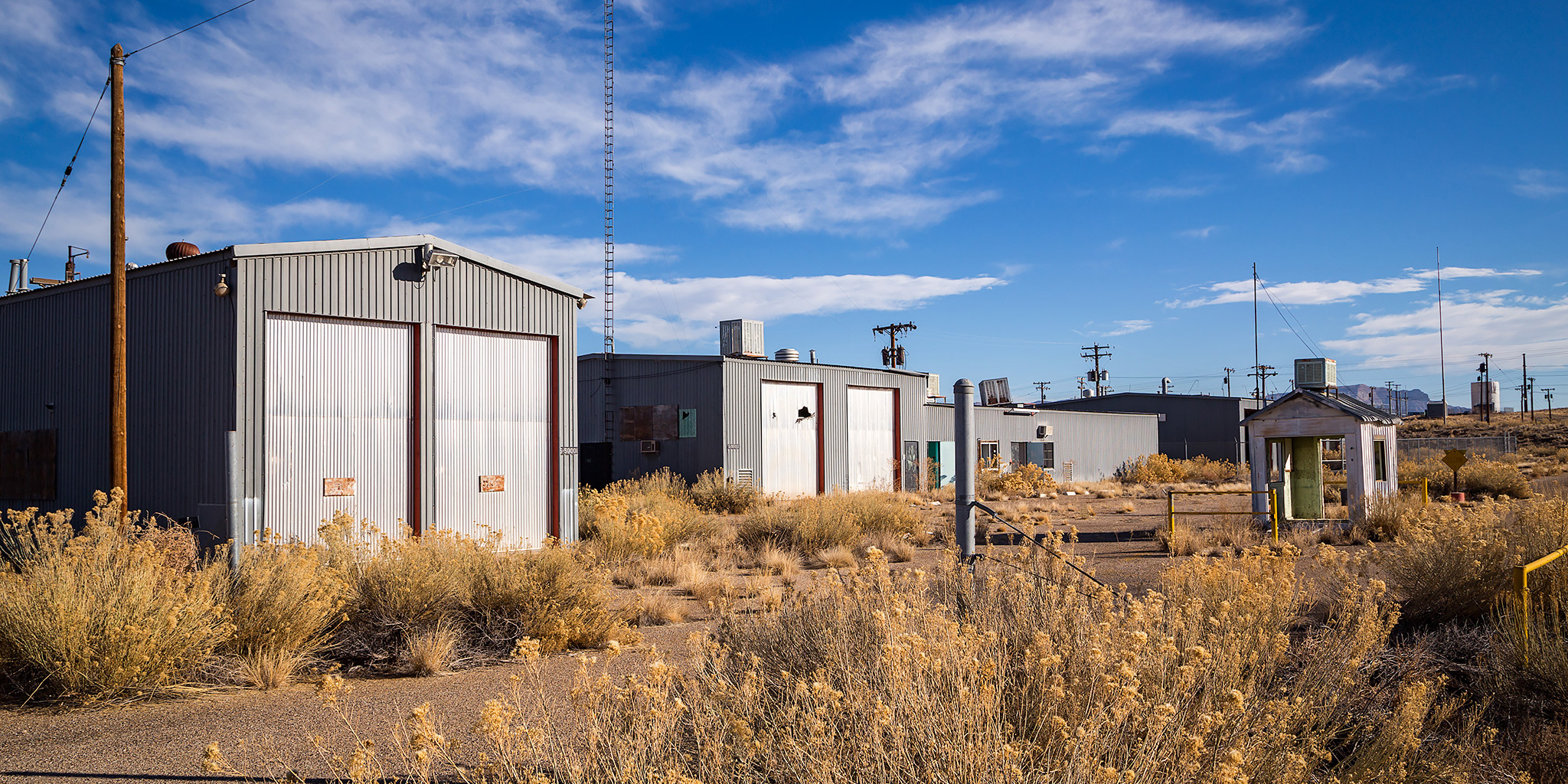
The main administrative building.
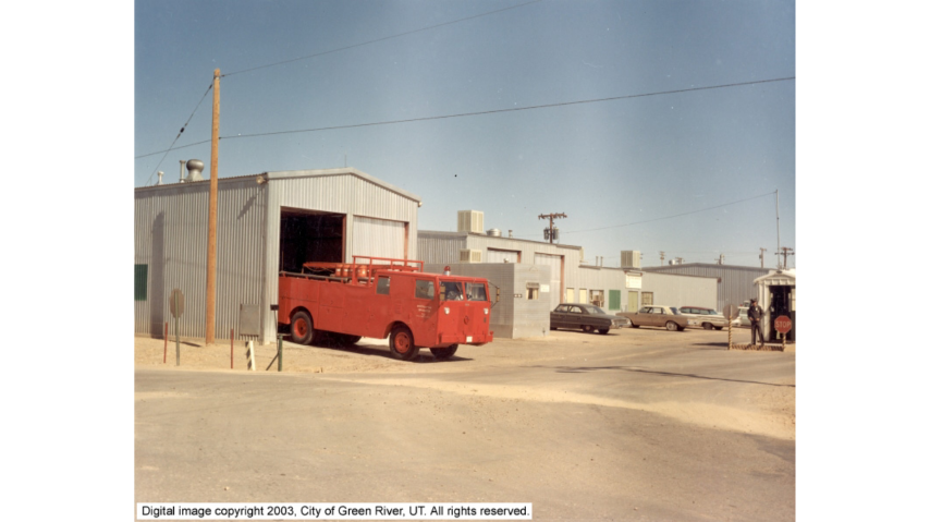
That’s the fire station on the left, then the administrative building to the right of that.
Compare that previous photo to this old photo from the same location.
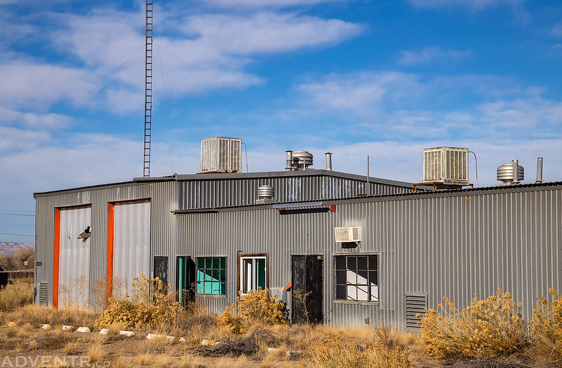
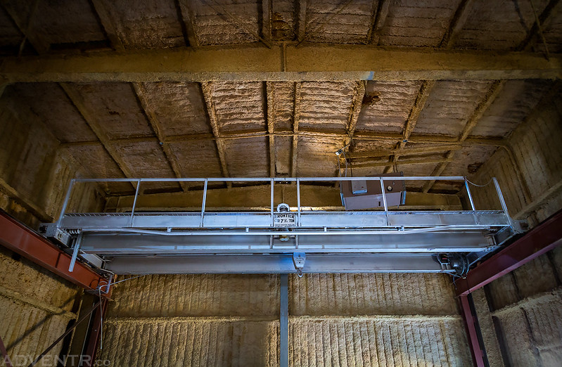
Next we drove under I-70 and explored a few of the building near the actual launch sites. This one had a pretty big crane.
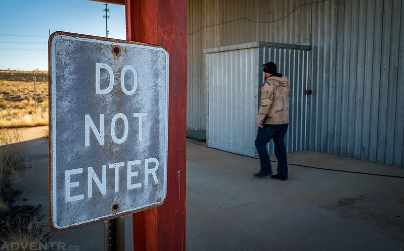
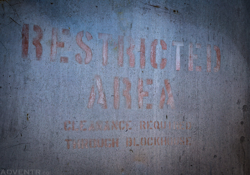
Restricted Area
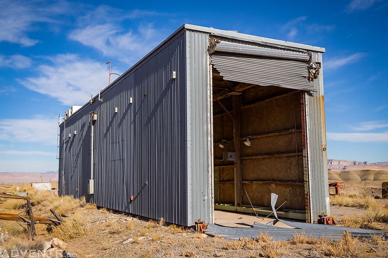
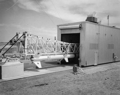
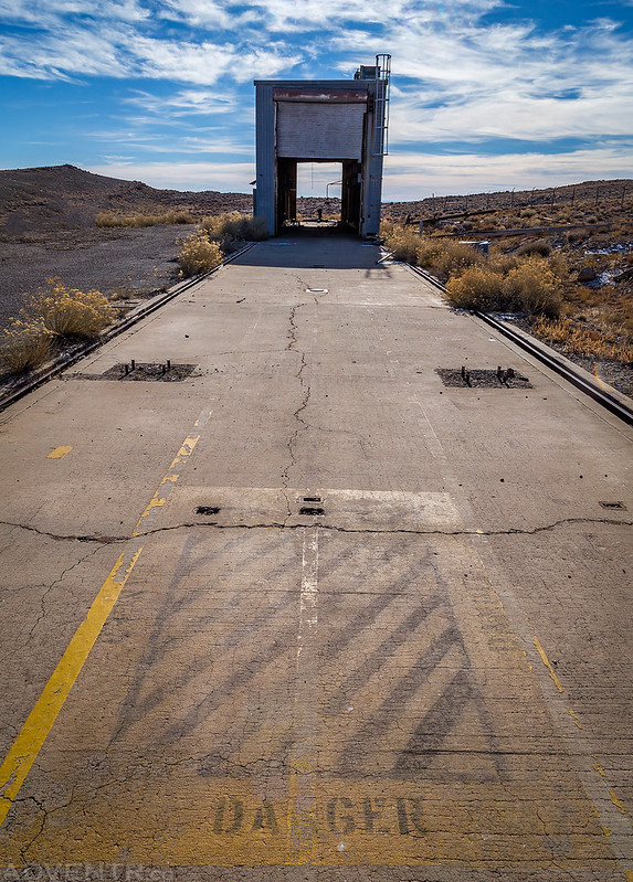
This was certainly the most interesting building we would visit all day. This structure is located on the launch pad and was built on wheels on tracks so it could move along the length of the concrete pad. This way they could work on the missile inside of the building and then roll it away before raising the missile for launch.
Here’s an old photo of a missile partially inside one of these buildings.
Looking down the concrete launchpad back toward the building on wheels. You can see the tracks on each side in this photo.
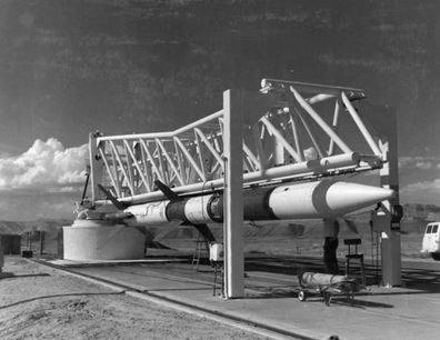
Here’s another old photo of a missile on the launchpad, pretty much right where I was standing to take the previous photo.
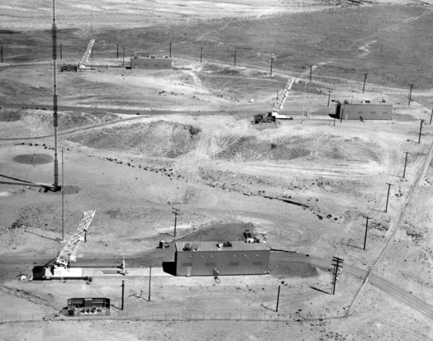
Here’s an old aerial view of the three launchpads that we visited. All the photos I took were at the pad closest to the front in this photo since it was the only one that had the rolling building still in place.
After spending a few hours exploring the remains of the Green River Launch Complex we decided to head on over to the Crystal Geyser along the Green River since it was only a few minutes away.
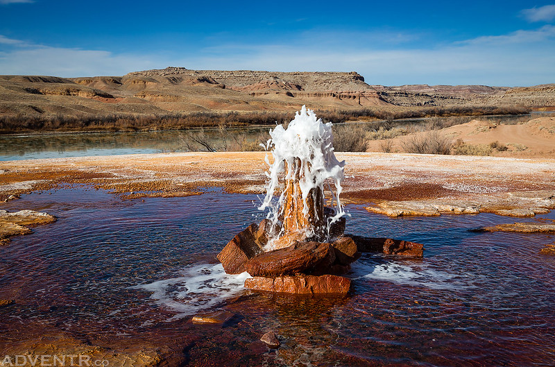
As luck would have it, the cold water geyser was erupting when we arrived. Of course, it no longer shoots 20 – 30 feet into the air like it used to, so this is about as good as it gets these days.
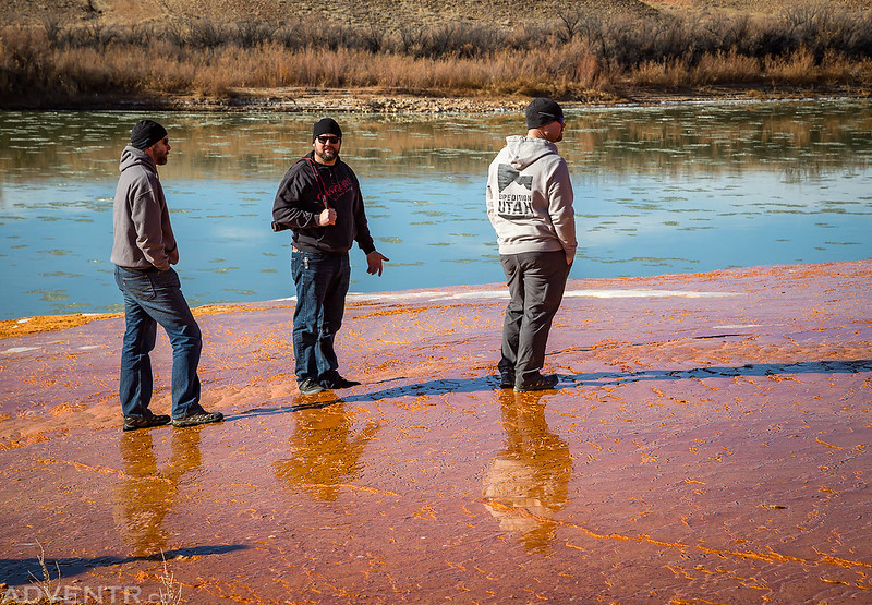
Reflections…
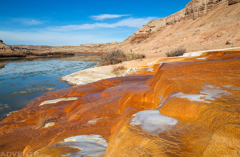
Colorful mineralization along the icy Green River.
After watching the geyser and taking photos for a while we headed back to Green River for some lunch. We had hoped to have some burgers from Ray’s Tavern, but it turned out that they were closed for a few days because of the holidays, so instead we headed over to try the Chow Hound.
After lunch I parted ways with the group since they were heading over to check out the ghost town of Cisco and I’ve driven through that town more than enough over the years. Instead, I went for a hike down to the Butterfly Bend of the Green River in search of some petroglyphs.
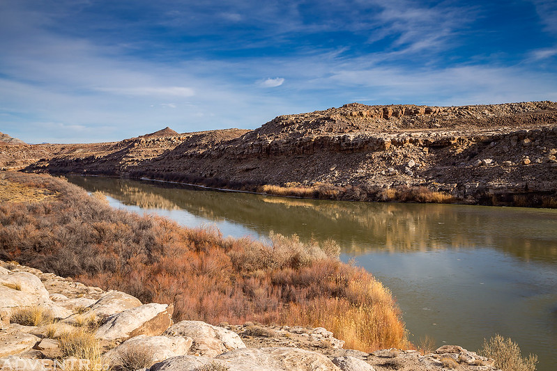
Hiking along the Green River.
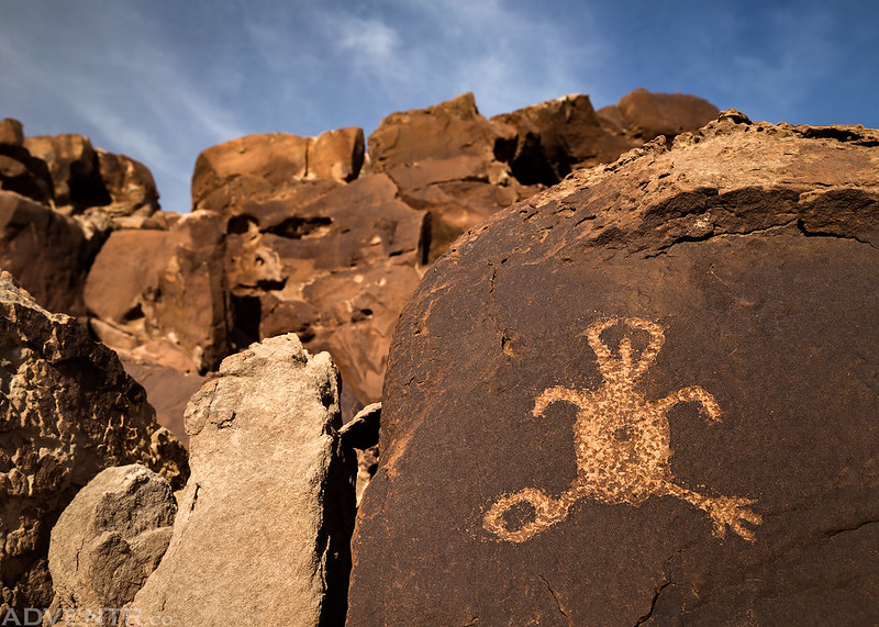
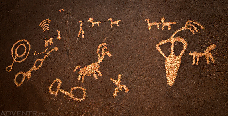
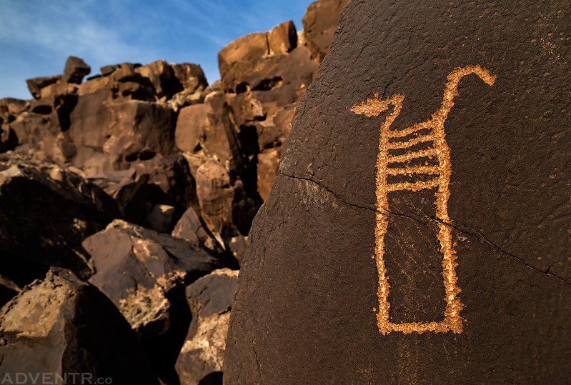
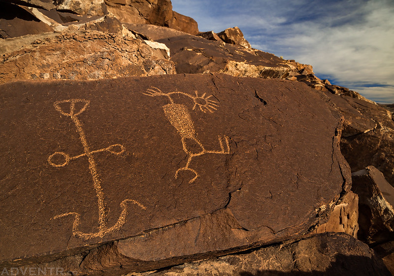
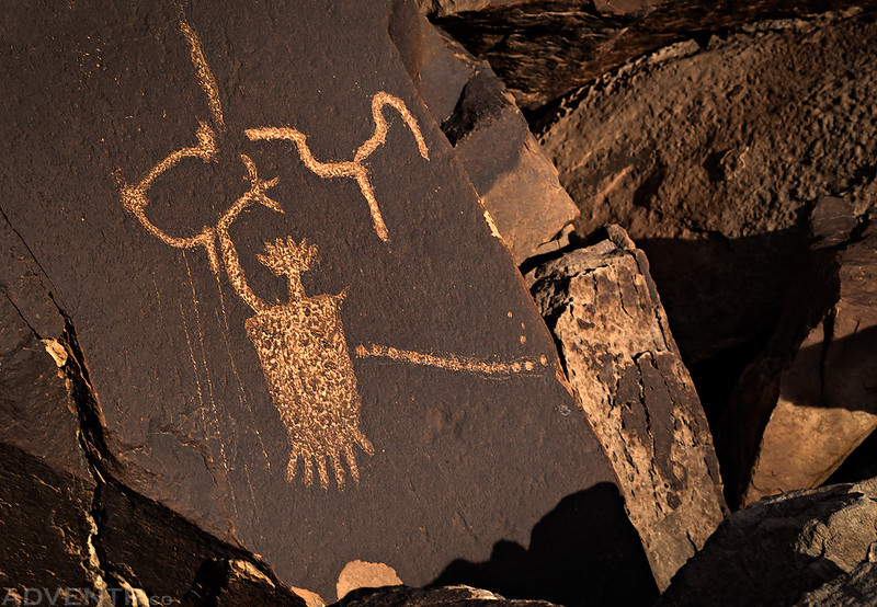
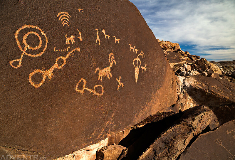
I found a few boulders containing petroglyphs, some I had seen before, but I ran out of time without finding much new because of the short days this time of the year.
I had a little bit of daylight left on my drive back home and wanted to take a detour into Floy Wash which flows out of the Book Cliffs. I had driven part of this route almost ten years ago and didn’t remember much about it, so I wanted to refresh my memory and see if it was worth planning a future trip into the area.
It was a pleasant evening drive into the Book Cliffs.
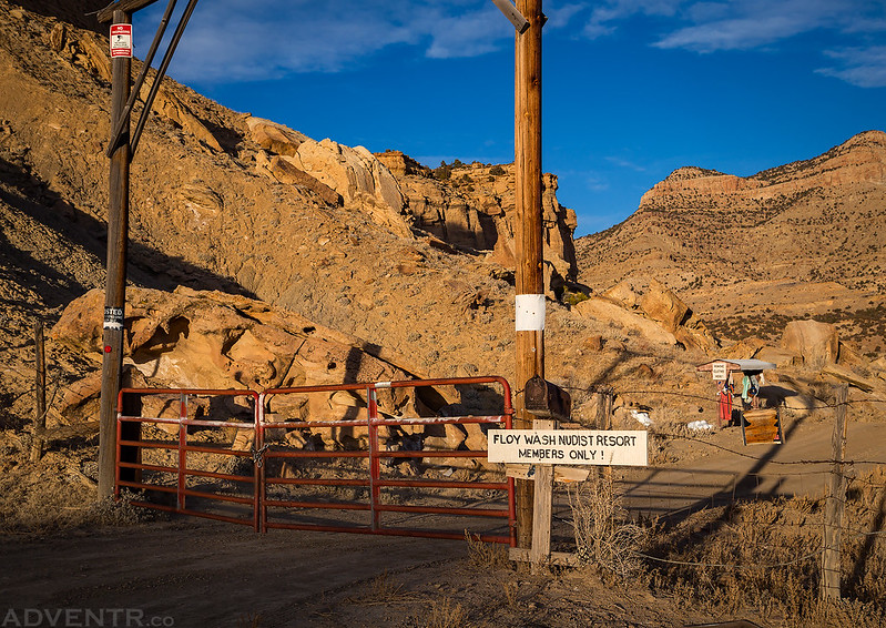
The road ended at a locked gate for the Floy Wash Nudist Resort. I’m assuming this property owner has a bit of a sense of humor…
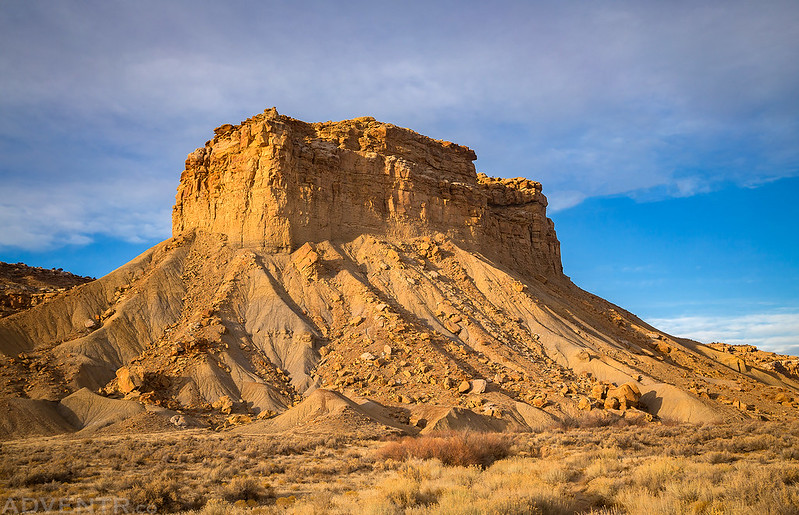
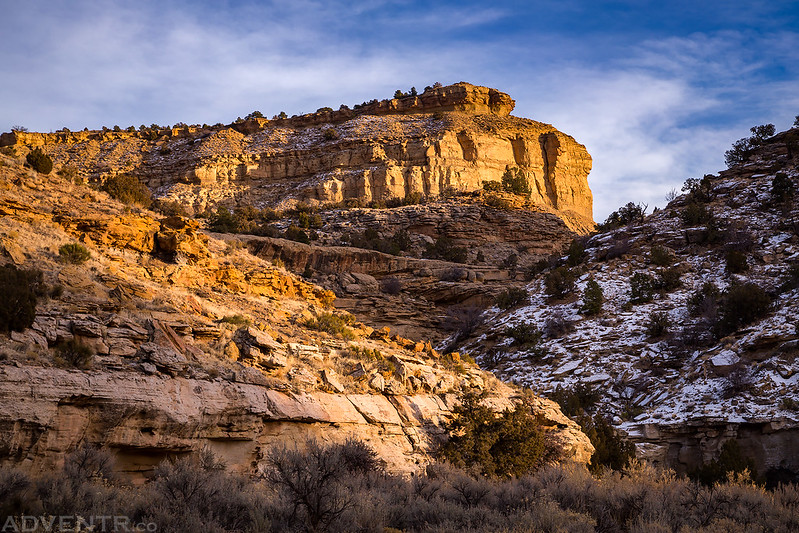
Late evening light colors the walls of the canyon with golden tones.
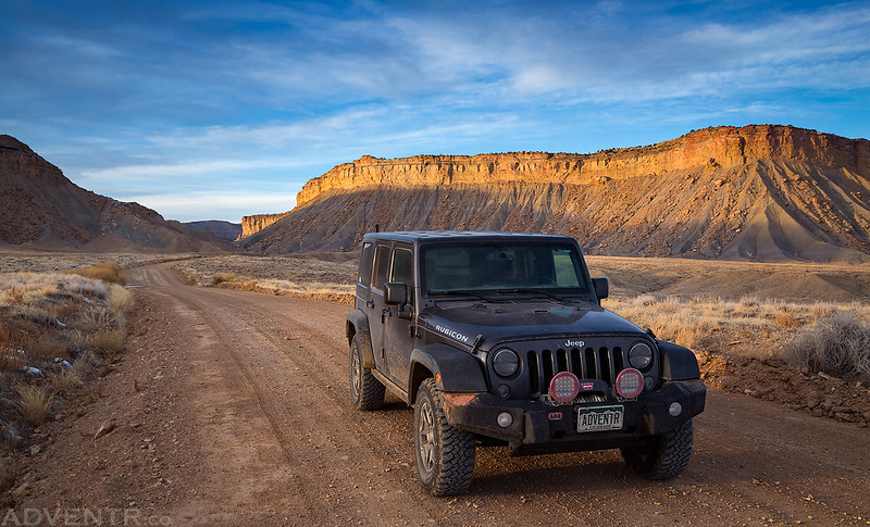
My Jeep after driving over Thompson Pass on my way to Crescent Junction and then back home.




Great photos and history, My dad worked at the base in the mid 70’s and I have lots of memories about the place.
Thanks Mark!
I remember as a kid growing up in Moab in the 1960s there were back country evacuations in the flight path.
Russ Johnson
All of the buildings and bunkers have been removed only foundations remain.
I had heard something about that a few months ago.