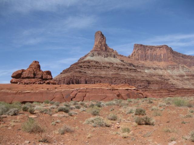
Saturday & Sunday, March 28-29, 2009
After finally getting my Jeep trail ready again (new head gasket, oil pan, rear main seal, oil filter o-rings, front wheel bearing, driver’s seat, windshield and a fresh coat of paint on the front bumper) and realizing I had not gone out exploring in my Jeep for two months, it was time for me to get out again. What better place to go than Moab?
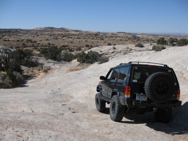
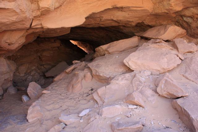
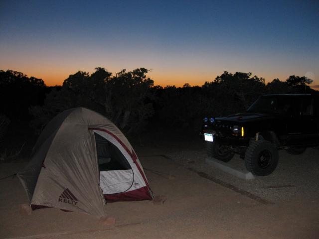
I decided to stick to the Island Area northwest of Moab for this trip. Bright and early Saturday morning Amanda and I hit the road and made out way to the Horsethief campground just off of Highway 313. After setting up camp we made our way over to the Dellenbaugh Tunnel. The last time I was at this tunnel was in 2007, however I was short on time that trip and didn’t get to explore too much.
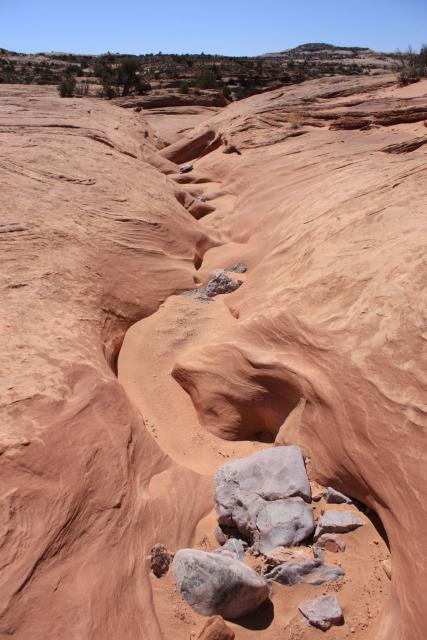
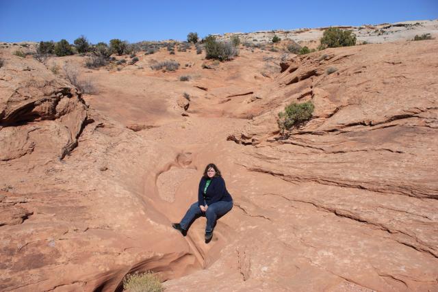
After finding two geocaches near the tunnel we turned around and headed back and stopped to check out and photograph this water-carved wash nearby.
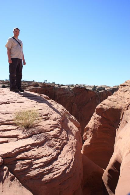
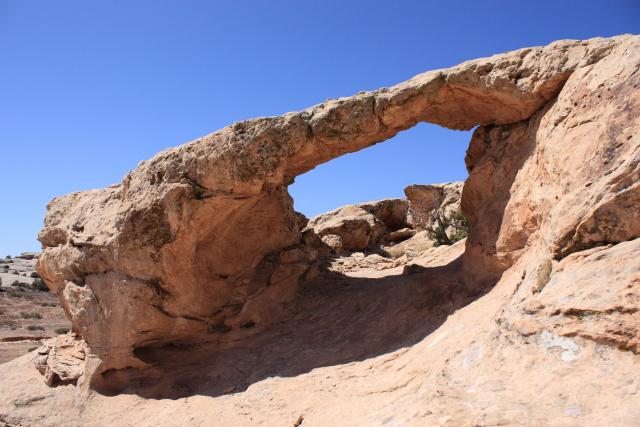
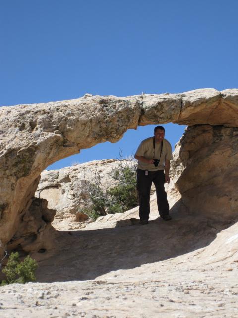
Our next destination was Secret Spire. We made our way back past Tombstone Rock and took a small detour to check out Juniper Arch on the way.
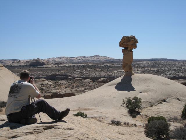
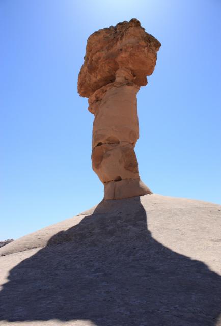
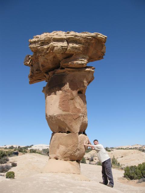
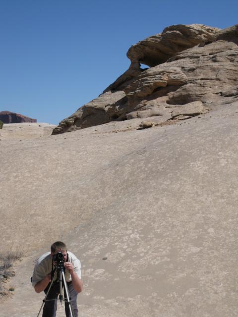
Once at Secret Spire I got out the tripod and starting to take some photos while Amanda located a nearby cache.
Holding it up 😉
After leaving Secret Spire it was just about lunch time, so we drove on over to Spring Canyon Point where we had some lunch and found yet another cache above the Green River.
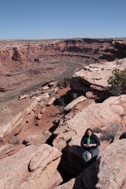
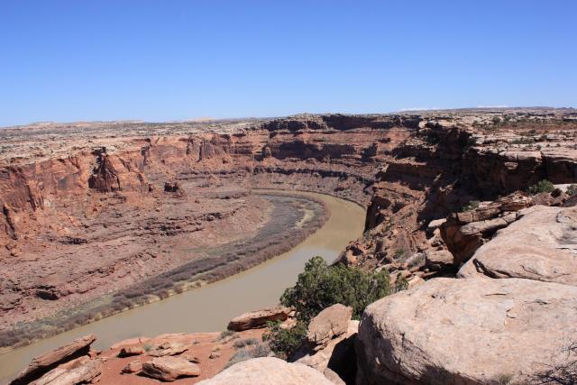
Next we were off to see Tusher Tunnel. I had been here back in 2003, but Amanda has never been. We cut across via the Bartlett Wash Road.
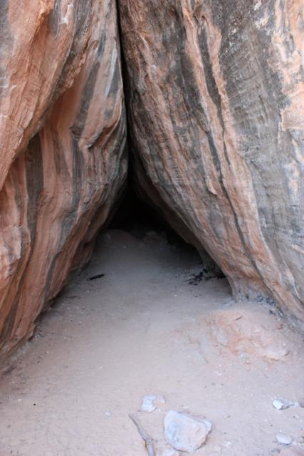
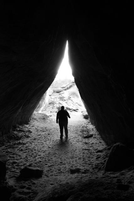
From the tunnel, Amanda wanted to head over to the Monitor and Merrimac buttes. After studying the maps I had with me, I found the Mill Canyon road should take us right to them. However, when we tried this route, we came across a freshly installed gate across the road that prohibited all motorized vehicles. I guess this route was closed with the new travel management plan….I need to print out those new maps one of these days….
Instead we ended up heading into Arches via Willow Springs Road before heading into town to grab some dinner. After our meal we headed back to camp and turned in early for the night.

Sunday morning we broke down camp in the very gusty winds and headed for Canyonlands. My goal for the day was to make it down to the Colorado River via Lathrop Canyon. We made our way down the Shafer switchbacks and started on down the White Rim trail.
Stopped at the Colorado River overlook
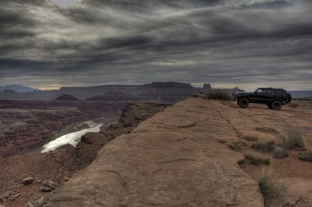
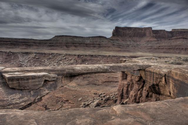
Then Musselman Arch
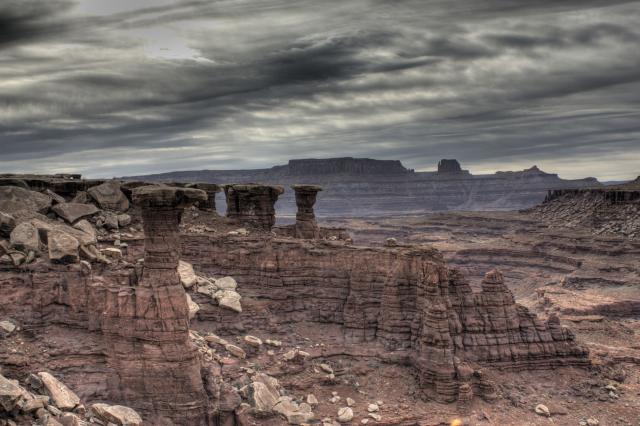
Walking Rocks
A short distance after leaving Musselman Arch, I noticed my Jeep was a little crooked in the back and got out to investigate. What I found was the the main leaf on the passenger side had broken in two.
Nice view where I stopped to check on my Jeep
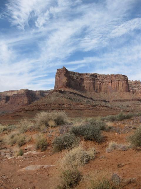
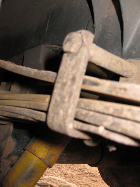
Sagging on the passenger side
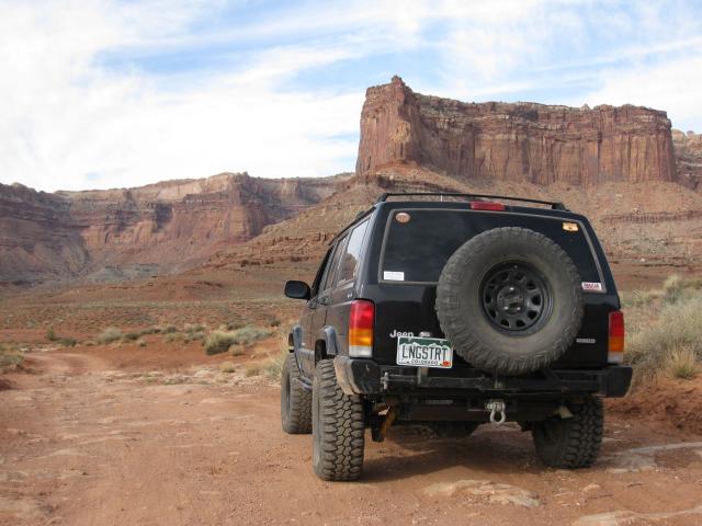
Not having a spare spring, I decided our best bet was to turn around and slowly make our way home. Lathrop Canyon would have to wait for another trip. We backtracked the small section of the White Rim trail we had already traveled and then headed back to Moab by Potash Road. We grabbed some lunch in town and slowly made our way home, sticking to the backroads whenever possible.
Leaving Canyonlands
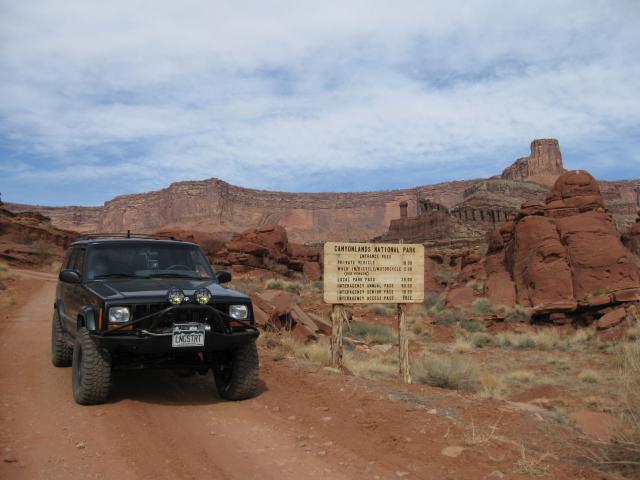
Along the Potash Road
