Trachyte Canyon to Maidenwater Canyon
Friday – Sunday, March 6-8, 2020
Since we ended up cutting our trip to the San Rafael Swell a little bit short last weekend because of snow and mud, this weekend we decided to head a little further south and lower in elevation on an overnight backpacking trip along Trachyte Creek near the foot of the Henry Mountains. A little piece of history from this area is that Trachyte Creek was named by Almon H. Thompson of the 1871-72 Powell Expedition for the light-colored igneous stones called trachyte that wash down the canyon from the Little Rockies. This is actually an area that I have not spent too much time in before, so I was looking forward to the change of scenery. Plus, it’s always nice to be out backpacking during the Daylight Savings Time change since we don’t really notice it while we are out in the backcountry where time doesn’t matter much. It always makes the adjustment easier for me.
We came to a clear creek, which we called Trachyte Creek, from the amount of pebbles in the creek being composed entirely of trachyte… Found a trail coming down Trachyte Creek, crossing the river, to connect with one we saw across the river. Saw plenty of horse and cattle tracks.
– William Derby Johnson
We left town after work on Friday afternoon, but it was a little later than I would have liked since my Jeep was in the shop all day and I had to wait for them to finish up before we could actually leave. After heading west into Utah we stopped for gas in Green River, drove south to Hanksville and then continued on through the Burr Desert to the bridge where the highway crosses over Trachyte Creek. It was getting late when we arrived, so we found a decent campsite along the creek, quickly got our tent setup in the dark, and then went right to bed.
An early morning view of Mount Hillers from our campsite.

We woke up shortly before sunrise on Saturday morning and I wandered around camp taking photos for a little bit. It was a beautiful morning and the low temperature overnight was only about 50 degrees. After packing up camp we followed Trachyte Creek downstream to Trachyte Falls and then returned to my Jeep. We drove down the highway a short distance, shouldered our packs and started hiking down an unnamed side canyon that would eventually meet up with Trachyte Creek again.
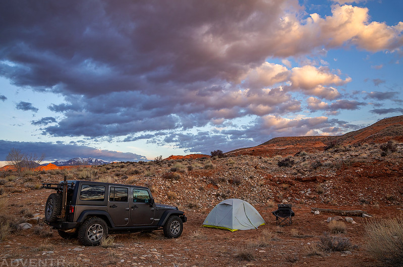
This was our first campsite of the weekend along Trachyte Creek.
The sun coming up over the hills of Trachyte Point as I wandered around the area.
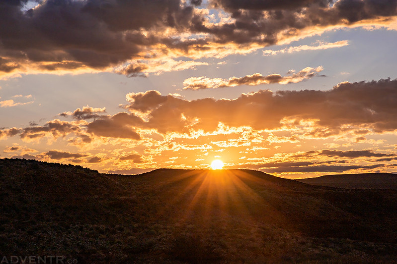
The clouds were looking nice this morning and would stick around for the rest of the day.

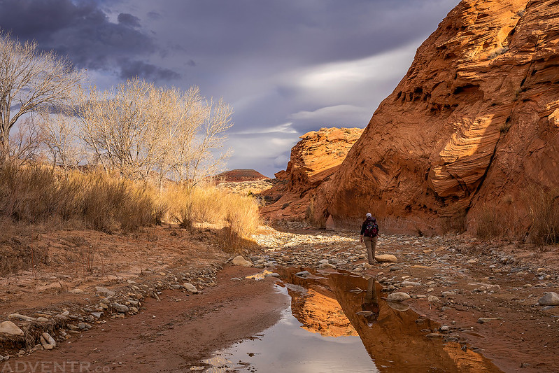
Hiking along Trachyte Creek on our way back from Trachyte Falls.
The dappled light on Mount Hillers looked nice as we returned to my Jeep.

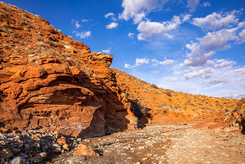
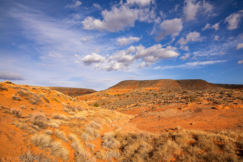
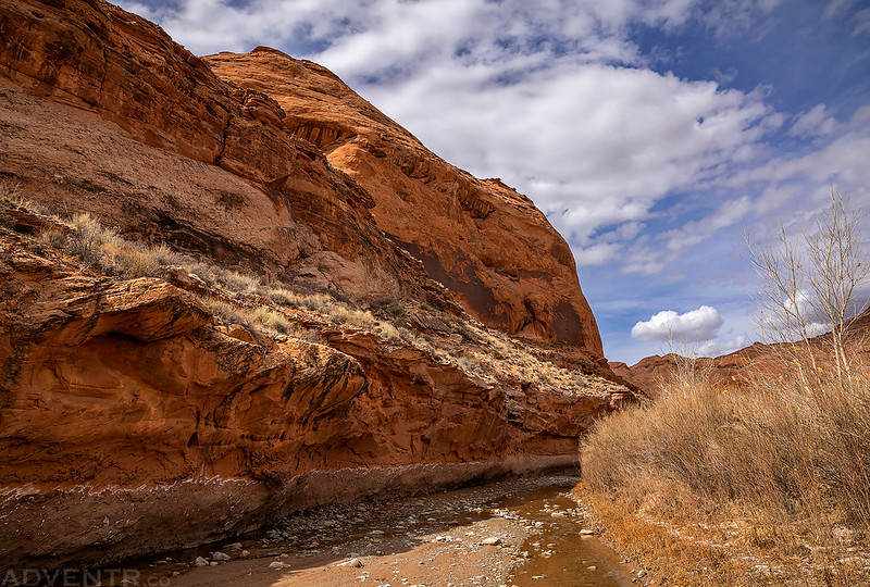
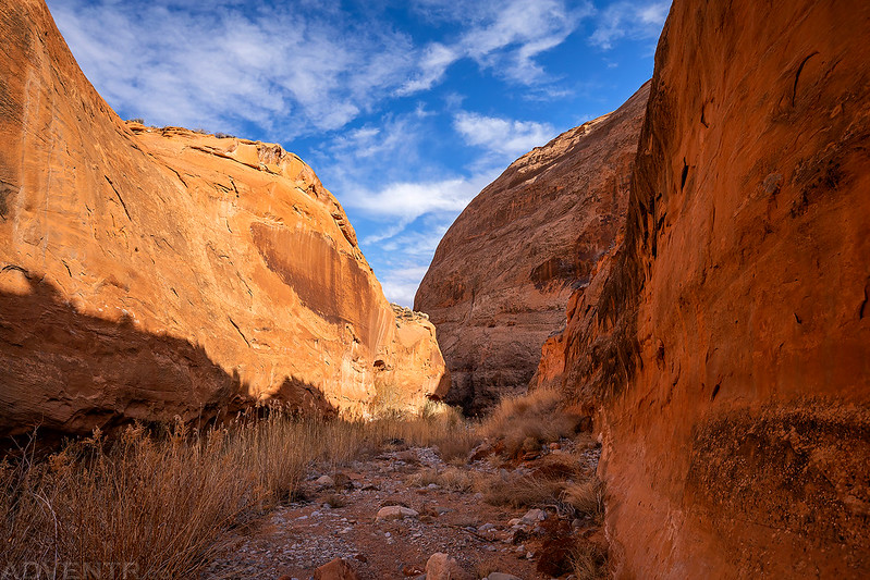
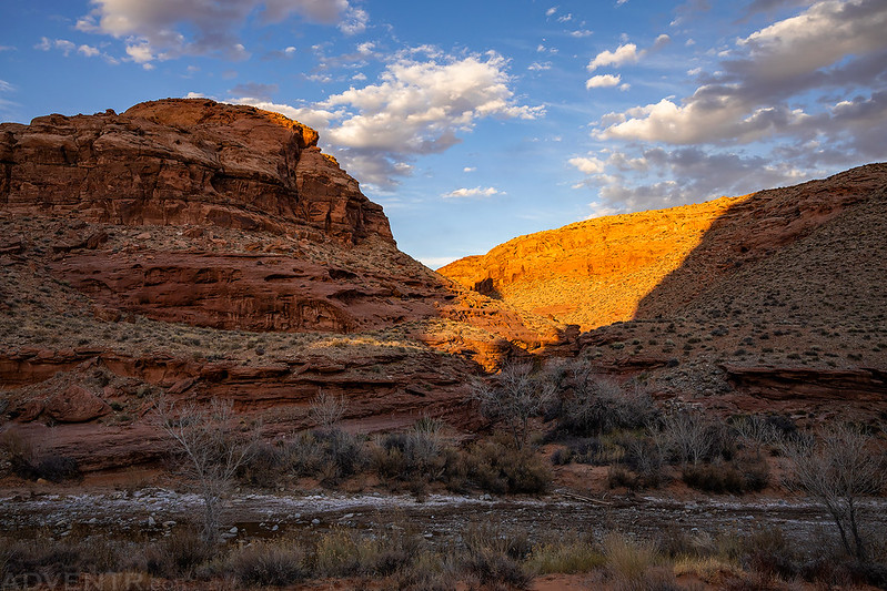
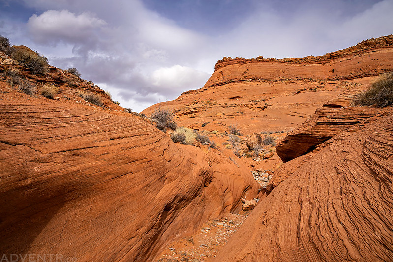
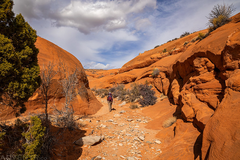
Here’s a view from the Maidenwater Sands area as we started our hike down into an unnamed side canyon of Trachyte Creek. The temperature out was very nice today, but it was pretty windy for much of the day.
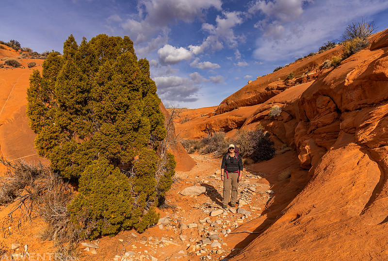
Diane hiking down the shallow side canyon we started in.

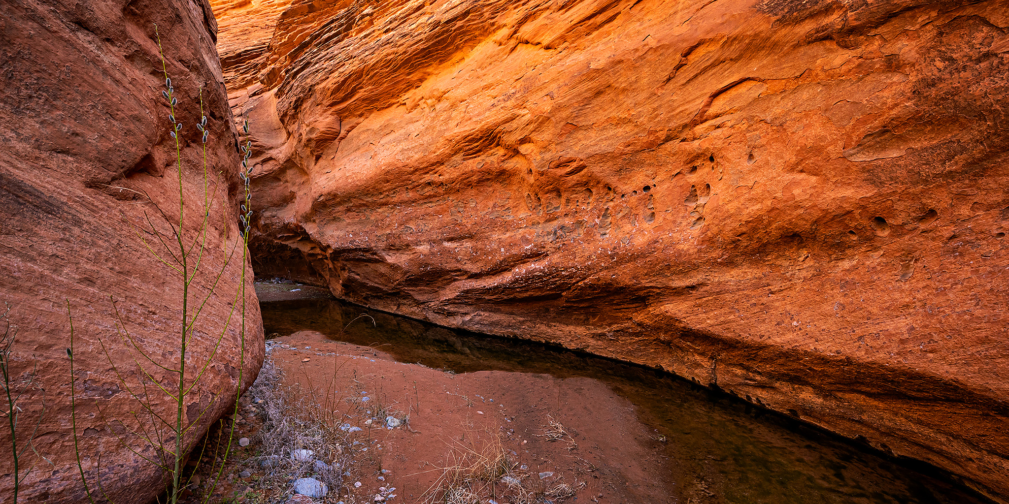
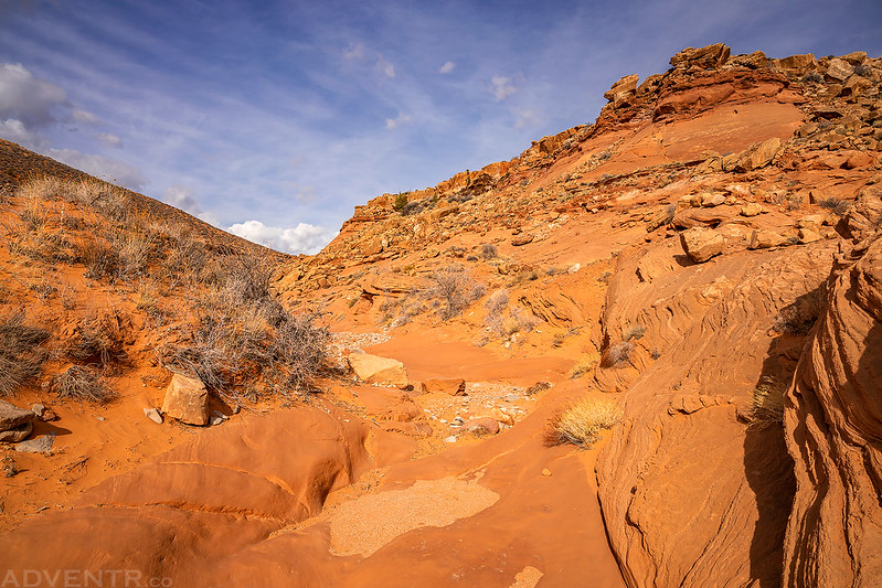
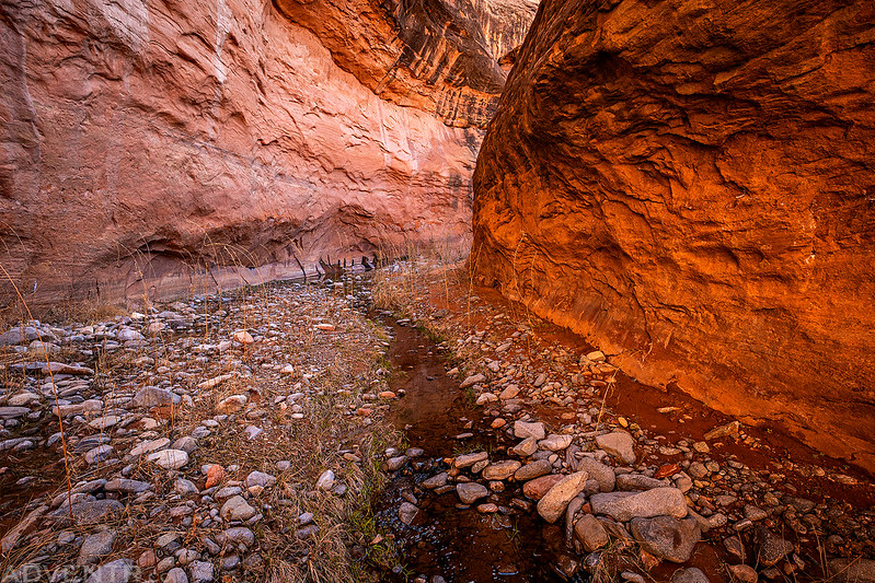
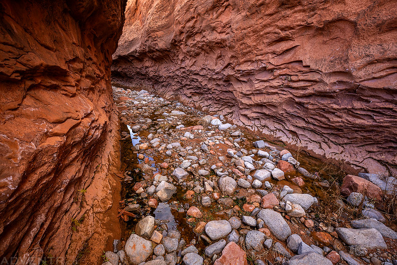
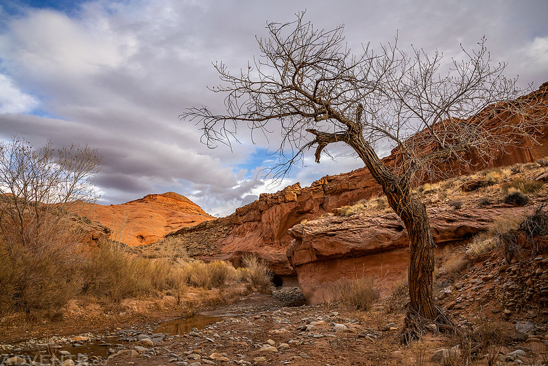
The scenery was nice at the lower end of the canyon shortly before reaching Trachyte Creek.
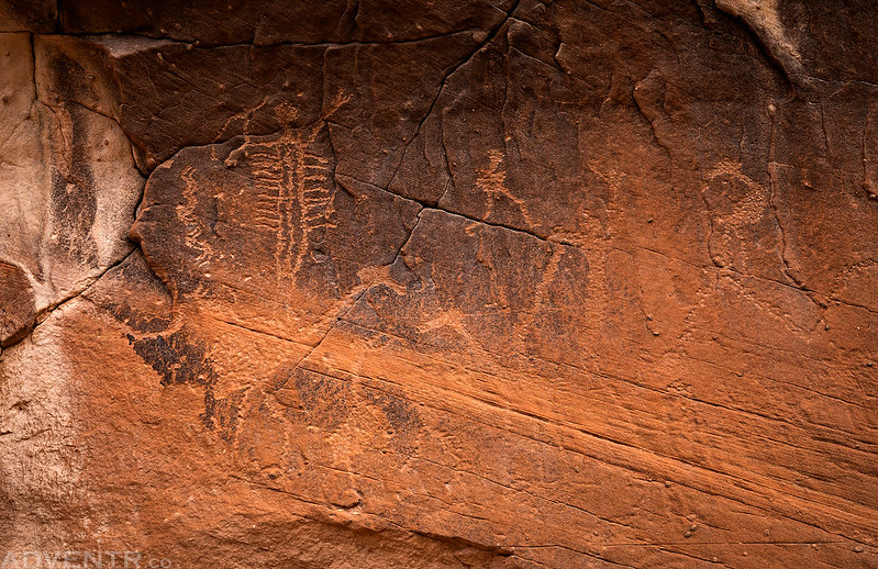
This is a small petroglyph panel we found on the canyon wall. The fringed anthropomorph holding the snake leads me to believe that it might be Barrier Canyon Style.
There were a few other petroglyphs nearby, like these two sheep. The one on the right looks like it was never finished.

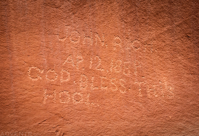
We came across a number of historic inscriptions in the canyon, too. Like this one left by John Rich in 1889: “God Bless This Hool”
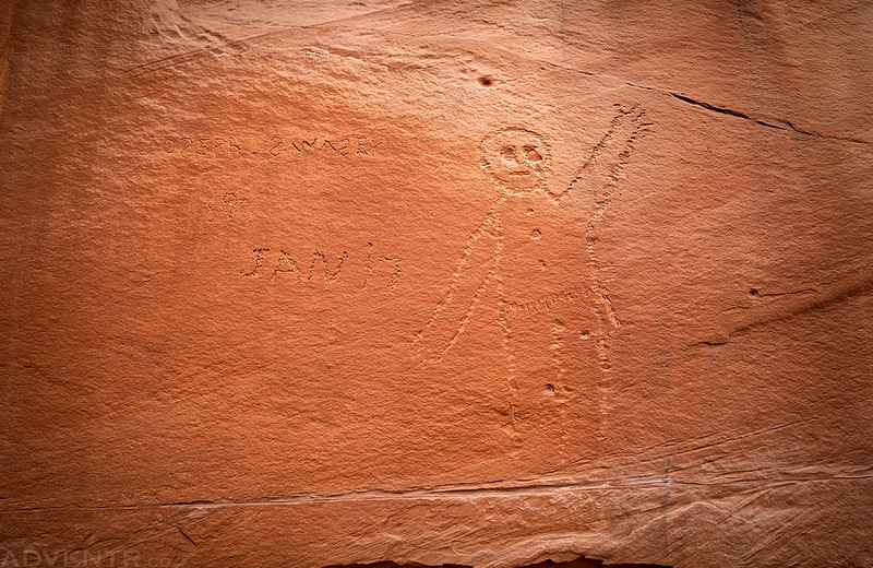
This one left by Joseph Swasey was pretty cool since we head just visited Swasey’s Leap the previous weekend and he was another one of their brothers.
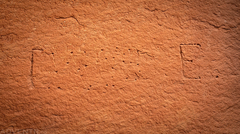
I took a photo of this one because it’s unfinished and shows the process of how this person planned to create the inscription. I wonder why they never finished?
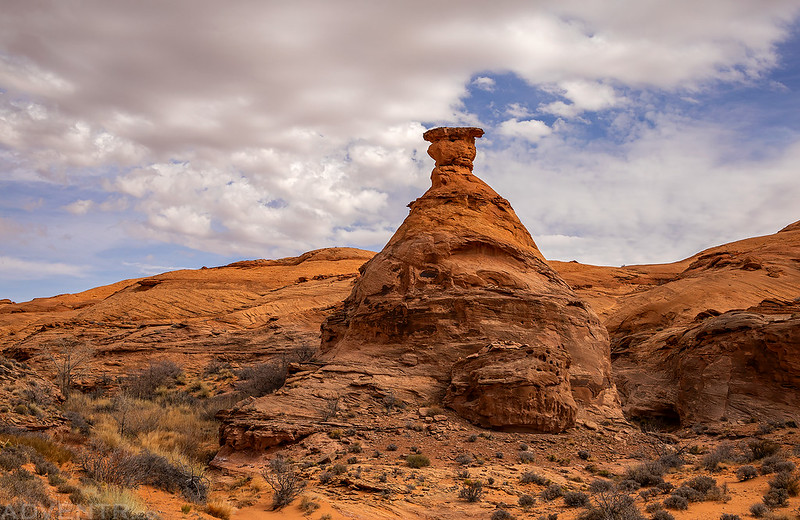
Trachyte Hoodoo
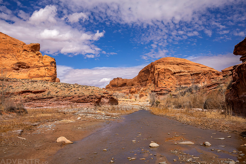
Trachyte Creek was flowing the entire length that we hiked along it, although it was a bit cowed up in places. We only saw a couple cows along the way.
There were a lot of inscriptions found at this spot, and some Fremont petroglyphs underneath as well.

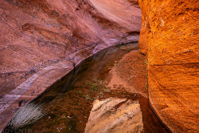
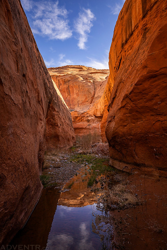
Looking up Trachyte Creek just past the confluence with Maidenwater.
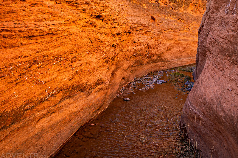
Here’s the view from our second campsite along Trachyte Creek just past the mouth of Maidenwater.

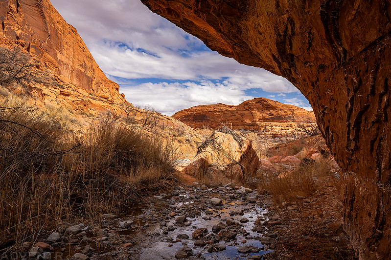
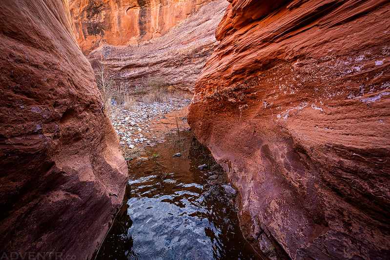
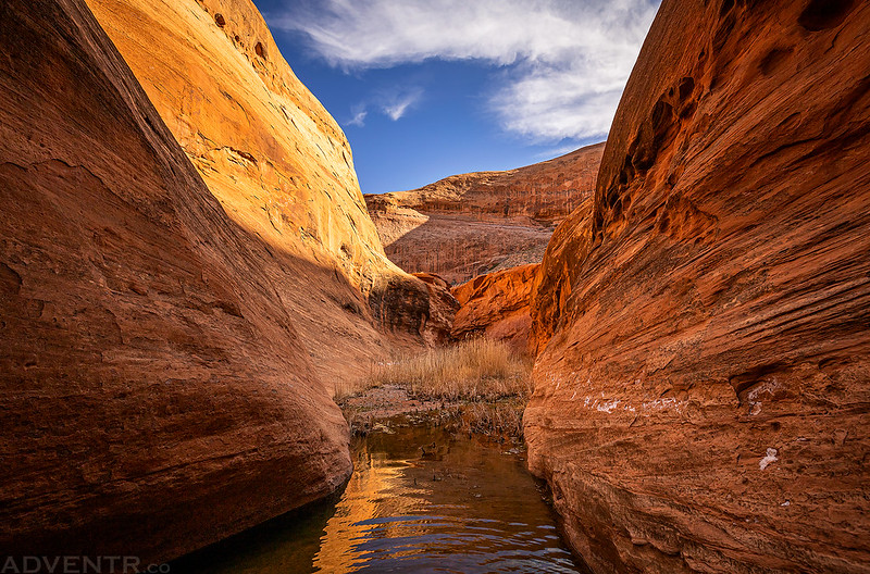
After getting our tent setup and resting for a little bit, we put on our neoprene socks and sandals and started hiking up Maidenwater Canyon. We ended up hiking up about a mile and a half before we started to run out of time and decided to turn around. It was a beautiful canyon and I look forward to returning to finish hiking the entire length!
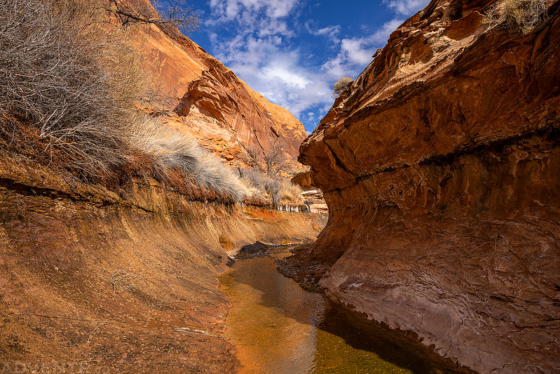
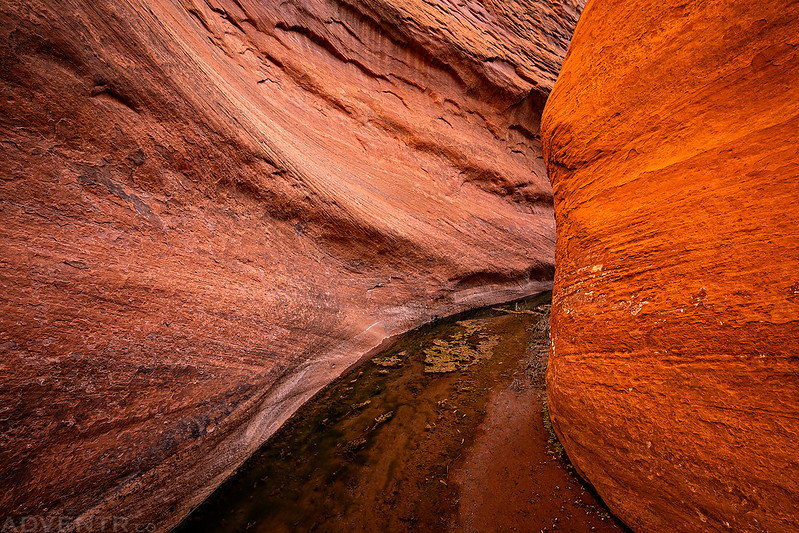
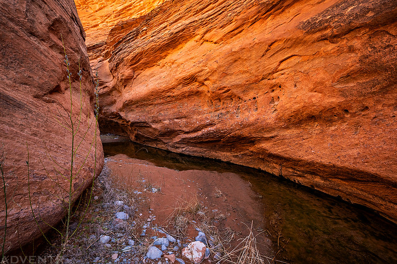
Hiking through a short ‘subway’ section of lower Maidenwater.
I took a lot of photos in Maidenwater, so enjoy the following collection!


After leaving the shadows of Maidenwater behind we returned to camp for dinner.

After dinner I went for one more short hike downstream to Trail Canyon just before sunset.

Light emanating from the mouth of Trail Canyon.

The view across Trachyte Creek from Trail Canyon.
The almost-full moon made a brief appearance between the clouds as I hiked back to camp.

We had a nice day exploring the canyon, so once it was dark out we tried to go to bed early. When we got into our sleeping bags it seemed like the wind had finally died down like it typically does after sunset, but that was just the calm before the storm. Throughout the night we were awoken by strong and loud gusts of wind coming up the canyon and then hitting our tent. Although it was nowhere near as bad as the evening we spent in the Great Sand Dunes a couple years back, the strong winds still prevented me from sleeping very well. The wind also blew a lot of sand into our tent and everything was covered with it in the morning.
We woke up before sunrise again on Sunday morning and thankfully the wind finally died down a bit as we took the tent down and packed up. The sun came out through the clouds for a short time around sunrise but then the sky became mostly overcast as we hiked back up the canyon the way we had come the previous day.
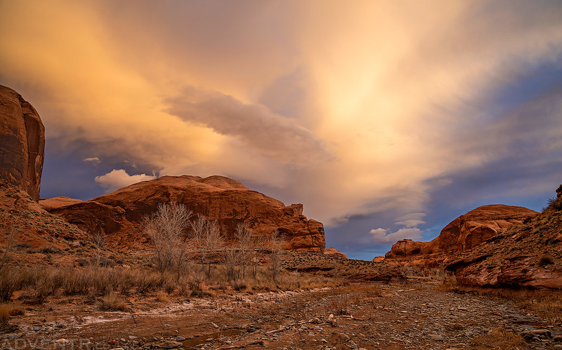
The sun lights up the clouds above Trachyte Creek on Sunday morning.
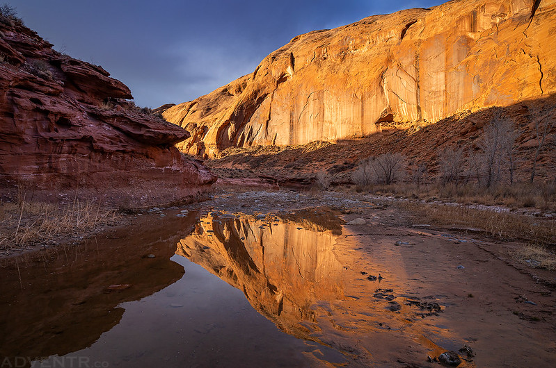
A morning reflection in Trachyte Creek.
Nice light on the sandstone as we hiked back up the canyon.

Diane hiking ahead of me.
Yucca

Going back up the side canyon we had come down.
Once we returned to my Jeep we started our drive back home after stopping for a burger at Stan’s Burger Shak in Hanksville. We had a great weekend exploring Trachyte Creek for the first time and look forward to returning to explore more of the side canyons!
Co-incidentally, I was was researching the Trachyte-Maidenwater area last week, and it is now officially on “the list”. Our April desert trip is obviously not happening (we live in Alberta), hopefully by fall we will be able to head south again. We will have to get our desert fix vicariously, courtesy of your wonderful reports and photos.