Press "Enter" to skip to content

Tag: wind

Maze Memorial Weekend II

The Orange Cliffs Unit | Memorial Day Weekend
Friday – Monday, May 22-25, 2015

Since we had a great trip to The Maze District of Canyonlands National Park during last year’s Memorial Day Weekend, we decided to go back again this year and spend a few nights at a few different campsites so we could explore new areas. Even though we didn’t technically spend much time in the actual Maze District since all of the campsites we stayed at were in the surrounding Orange Cliffs Unit of Glen Canyon National Recreation Area, we did hike down into Ernies Country for a little while.

3 Comments

The Lower San Juan River

Mexican Hat to Clay Hills Crossing
Tuesday – Saturday, May 12-16, 2015

For the past two years a few friends and I have floated the upper section of the San Juan River from Sand Island to Mexican Hat during the month of May. It’s a very nice section of river, but this year we wanted to do something different, so we attempted to get a permit for the lower section of the San Juan River from Mexican Hat to Clay Hills Crossing. My friend Jackson was lucky in the permit lottery and we received our first choice of dates on the river, plus we were even able to secure our preferred reserved campsite, too. For once our plans came together nicely and easily!

8 Comments

Colorado National Monument Traverse II

The Monument from Top to Bottom | Black Ridge Loop
Saturday & Sunday, March 28-29, 2015

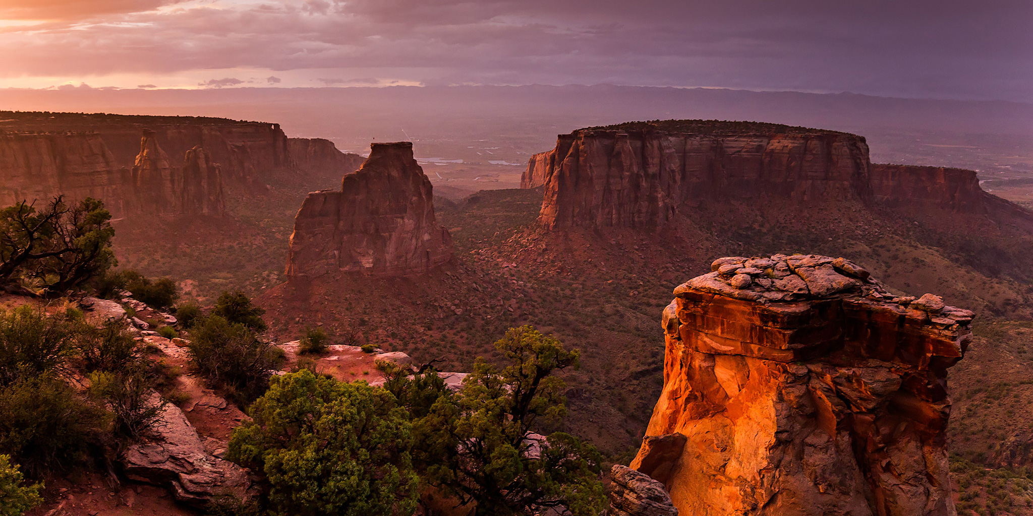
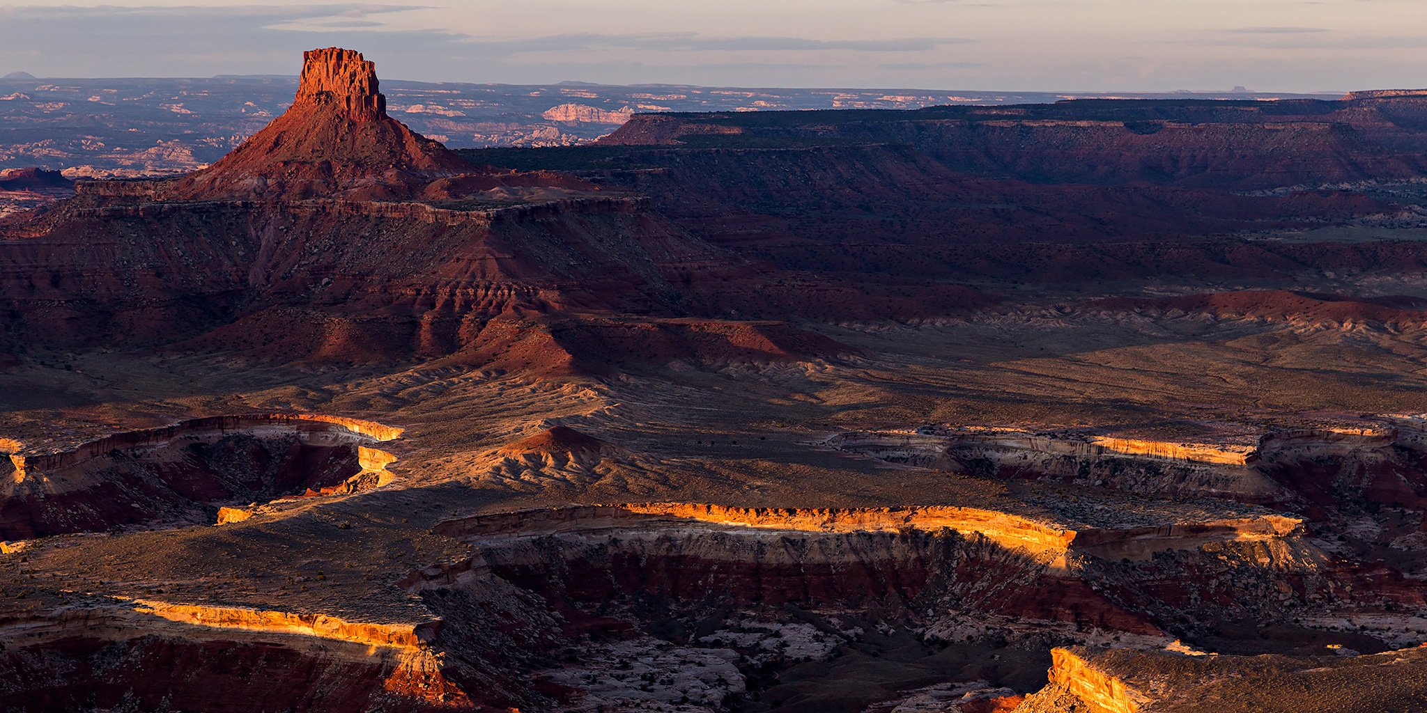
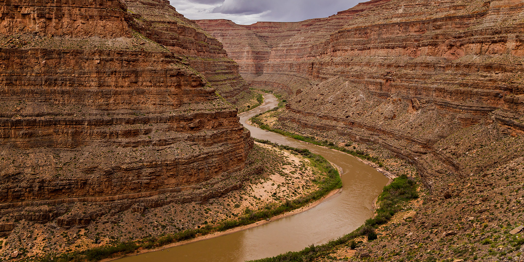
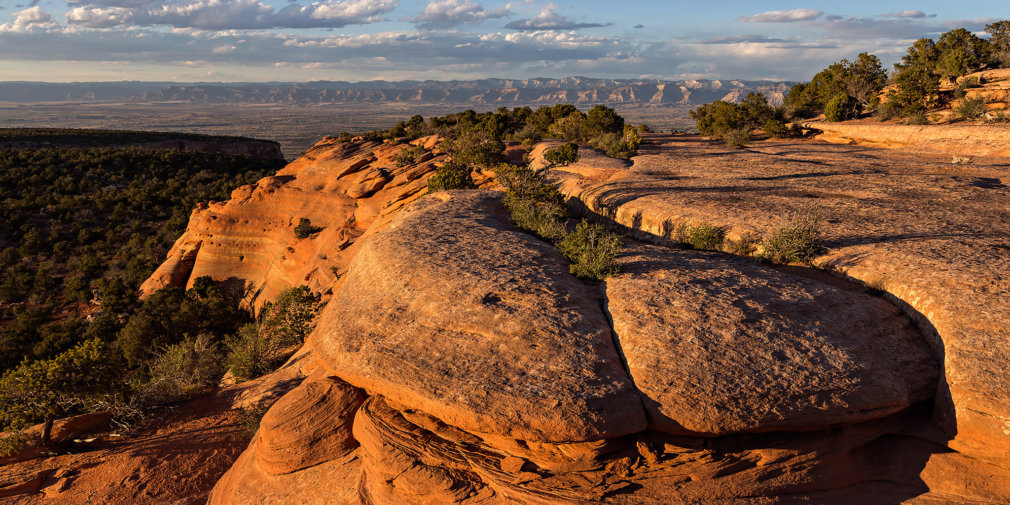
After completing a traverse across the face of the Colorado National Monument last year I decided that I wanted to put together a longer loop through the Monument to hike this year. The route I strung together begins at the Kodels Canyon trailhead outside of the Monument near Fruita and climbs up the historic Fruita Dugway trail where it connects with the Black Ridge Trail. The Black Ridge trail is the highest trail in the Colorado National Monument topping out at just over 6,700 feet. Since the trailhead is at about 4,700 feet, this route ascends over 2,000 feet of elevation gain while climbing from the lower part of the Monument to the higher part. After following the Black Ridge Trail to it’s end at the Upper Liberty Cap trailhead we would then follow the entire Liberty Cap trail back down to the Wildwood trailhead. Since this route is about 18 miles in length, I thought it would make a nice overnight backpacking trip so that we could take our time and spend a night in the Monument. I stopped by the Visitor’s Center on Friday and picked up a backcountry camping permit so that we could start the hike bright and early on Saturday morning.

Leave a Comment

Winter Camp Ridge

Saturday, November 1, 2014

Winter Camp Ridge is an obscure place located north of Arches National Park near The Highlands. Most people bypass this area as they are heading elsewhere in the region, but I always seem to be drawn back to this location every so often. My first time here was when I was out exploring the backroads of the Yellow Cat area and took the sandy two-track onto Winter Camp Ridge to see where it went. The road ended up bringing me to the Arches National Park boundary not too far from Delicate Arch. Since that first trip I have always wanted to try and hike to Delicate Arch from this road. That’s what Diane and I planned to attempt this weekend.

2 Comments

San Juan Canyon

The San Juan River | Sand Island to Mexican Hat
Sunday – Wednesday, May 11-14, 2014

We didn’t have any luck in the San Juan River lottery again this year, but I managed to grab an open date on the calendar for a time my friends and I would be able to go during the month of May. Like last year, I was only able to secure a permit from Sand Island to Mexican Hat. It was probably a good thing because I really didn’t want to take too much more time off from work in May since I had already taken a few days for my backpacking trip in Salt Creek Canyon and I have a few other days scheduled off for later in the month.

Leave a Comment