Press "Enter" to skip to content

Tag: uncompahgre plateau

Snapshots from No Thoroughfare Canyon

Saturday, June 6, 2015

After spending last weekend in Salt Lake City, I was a little bit worried that I wouldn’t be able to spend anytime hiking outdoors this weekend since the weather forecast was calling for storms in our area. After some rain early this morning it appeared that we were on the edge of the storm system for much of the day and I would be able to get over to the Colorado National Monument for a few hours in the late afternoon. I decided to spend a little time in No Thoroughfare Canyon today since I haven’t been to that area of the park for a while.

3 Comments

Rabbit’s Ear Trail

Sunday, April 19, 2015

This morning I decided to sleep in a little later since I was up early on Saturday morning to photograph the sunrise at the Colorado National Monument. After breakfast, Diane and I drove over to Rabbit Valley near the state line for an afternoon hike on the Rabbit’s Ear Trail. This is a nice trail that climbs to the top of Rabbit’s Ear Mesa and then loops around the rim with expansive views over Ruby Canyon of the Colorado River and the rest of the McInnis Canyons National Conservation Area. Since we were out hiking under harsh mid-afternoon light I didn’t take many photos, but I will definitely be returning in the future to make some better images from this location. Here are a couple of snapshots from our hike…

Leave a Comment

Foggy Morning at the Monument

Saturday, April 18, 2015

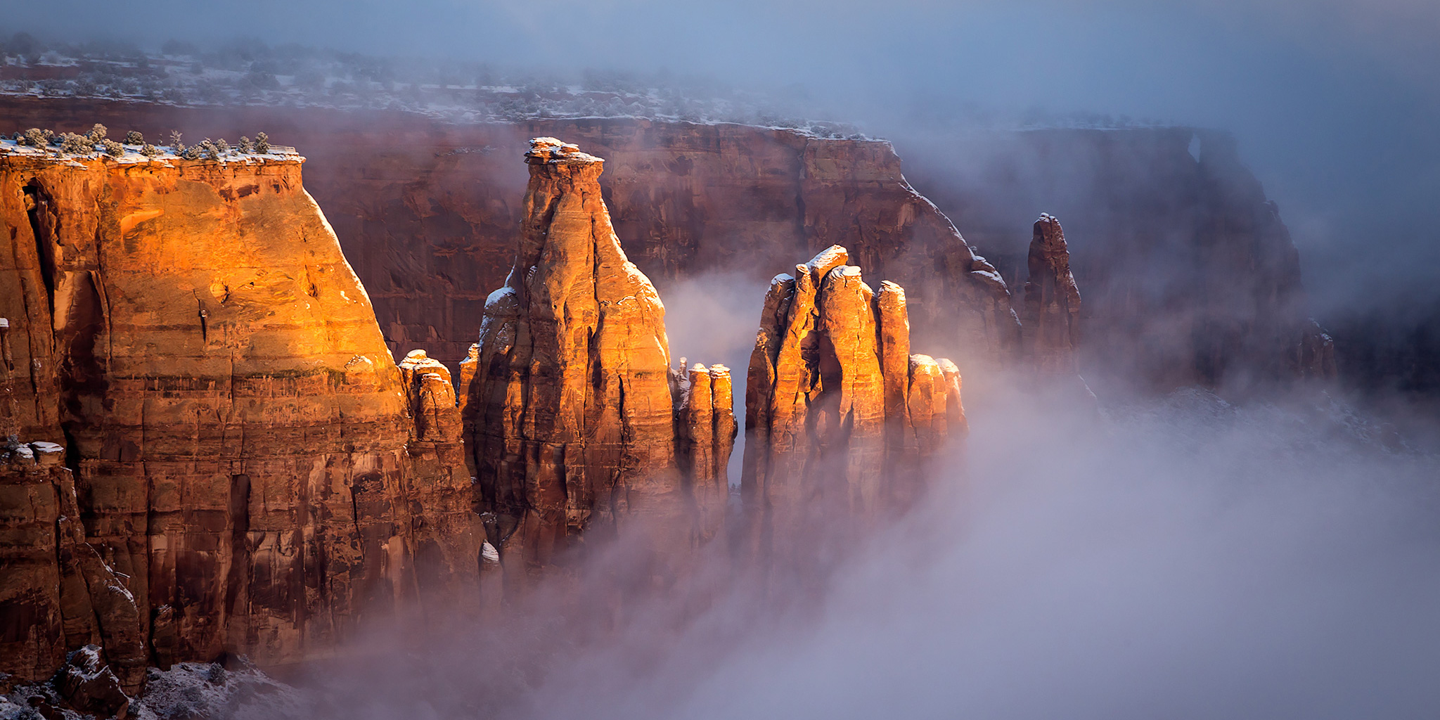
After a storm moved through western Colorado and left a lot of precipitation behind the past few days it looked like it was going to finally clear this morning, so I woke up early and drove up to the Colorado National Monument shortly before sunrise to take a few photos. I never did get the sunrise that I was hoping for, but the valley below was filled with low clouds and fog which is always fun to watch and photograph.

3 Comments

Colorado National Monument Traverse II

The Monument from Top to Bottom | Black Ridge Loop
Saturday & Sunday, March 28-29, 2015

After completing a traverse across the face of the Colorado National Monument last year I decided that I wanted to put together a longer loop through the Monument to hike this year. The route I strung together begins at the Kodels Canyon trailhead outside of the Monument near Fruita and climbs up the historic Fruita Dugway trail where it connects with the Black Ridge Trail. The Black Ridge trail is the highest trail in the Colorado National Monument topping out at just over 6,700 feet. Since the trailhead is at about 4,700 feet, this route ascends over 2,000 feet of elevation gain while climbing from the lower part of the Monument to the higher part. After following the Black Ridge Trail to it’s end at the Upper Liberty Cap trailhead we would then follow the entire Liberty Cap trail back down to the Wildwood trailhead. Since this route is about 18 miles in length, I thought it would make a nice overnight backpacking trip so that we could take our time and spend a night in the Monument. I stopped by the Visitor’s Center on Friday and picked up a backcountry camping permit so that we could start the hike bright and early on Saturday morning.

Leave a Comment