Press "Enter" to skip to content

Tag: thunderstorm

Colorado Trail: Carson Saddle & the Continental Divide

Friday – Sunday, September 6-8, 2024

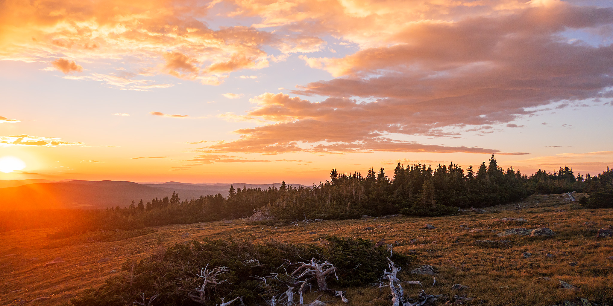
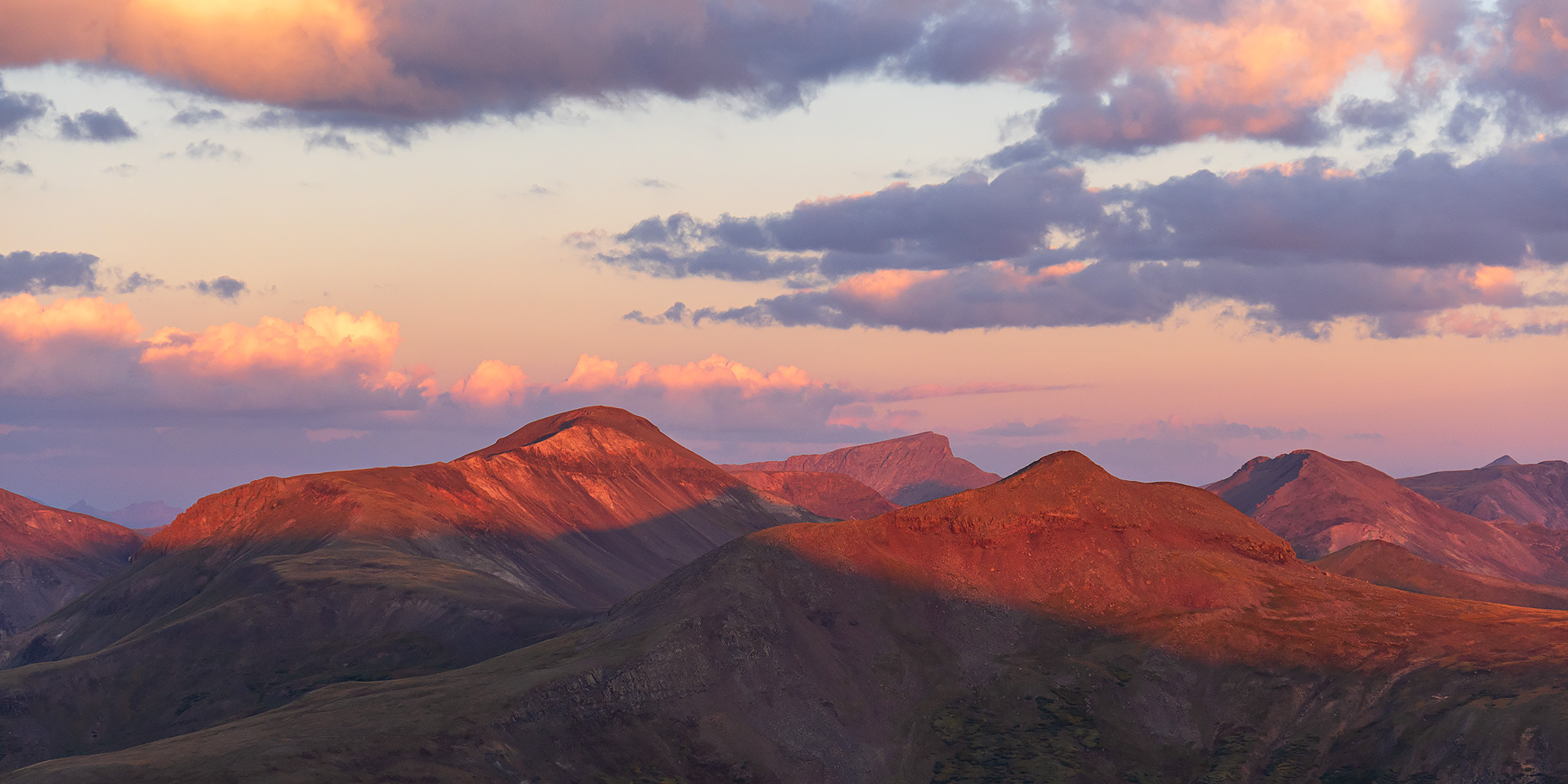
With the mountain season coming to an end in just a few short weeks and a busy schedule for me later this month, I wanted to make sure that I got out for some more hiking above treeline in the high country this weekend before it was too late. I thought a good way to do that would be by hiking part of the Colorado Trail along the Continental Divide in the San Juan Mountains starting from the Carson Saddle above Wager Gulch, so that’s where I headed when I left work on Friday afternoon. I didn’t want to deal with the Middle Bridge over Blue Mesa on US 50, so instead I opted to go over Red Mountain Pass into Silverton and then took the Alpine Loop over Cinnamon Pass to the Lake Fork of the Gunnison River.

Leave a Comment
Rock Art of the Book Cliffs VII

Sunday, August 25, 2024

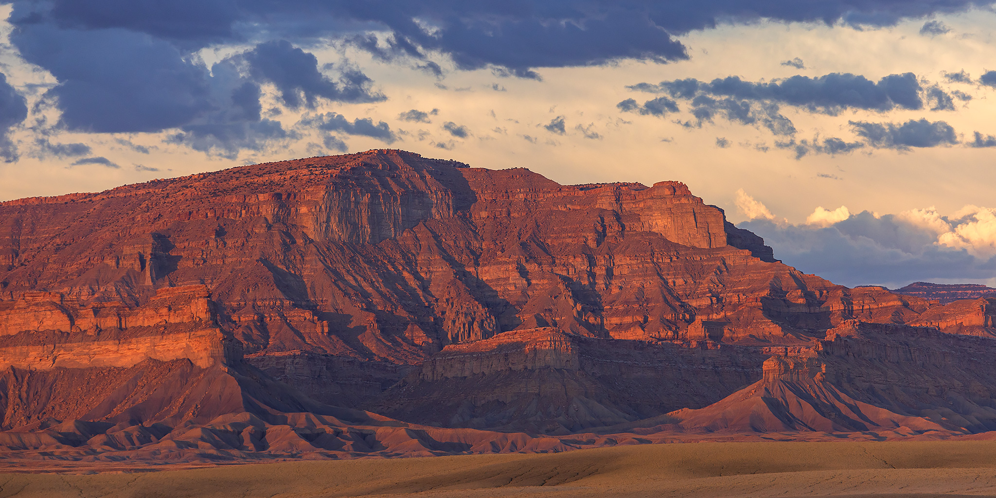
After spending Saturday morning on the Colorado River in Glenwood Canyon, I left home early on Sunday so I could meet up with a friend in Green River later in the afternoon. Since I had plenty of time before we were supposed to meet I thought it would be a good idea to spend the morning searching for new rock art sites in the Book Cliffs as I slowly made my way to Green River. Unfortunately, the weather would not cooperate with those plans today thanks to the stormy weather we’ve been experiencing lately and just as soon as I neared the edge of the Book Cliffs it started to rain pretty hard which made the roads I wanted to drive slick and muddy, so I had to turn around and find some better roads. I did my best to get around in the wet conditions, but I ended up spending most of the day just revisiting sites I haven’t been to in a while. I guess I’ll have to come back to search out the new sites when it’s a bit drier out.

2 Comments

Fruita Frontcountry: Flash Flood in Devils Canyon

After Work Adventures | Friday, August 23, 2024

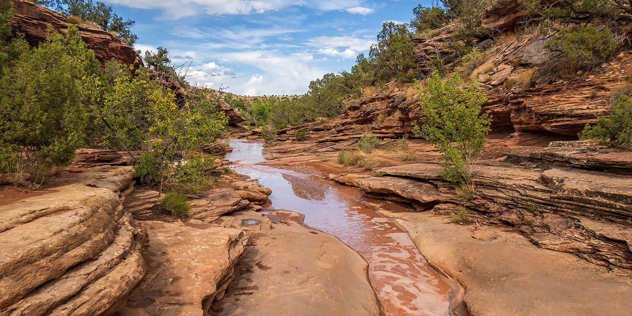
Since I was actually home on a Friday evening, I made a last-minute decision to go on a local hike in the Devils Canyon section of the McInnis Canyons National Conservation Area near Fruita. Although I had finished hiking all the trails in this section of the frontcountry back in 2016, I had recently looked at an updated map and noticed a new trail called Devils Ridge (D7) that wasn’t there back then, so I thought I’d go check it out as part of a short loop hike. Even though the weather has been quite wet and stormy recently, it looked like the storms in the area were going to miss us this afternoon, so I headed over to the trailhead after work. Of course, just as I reached the trailhead it started to rain pretty hard, so I waited in my Jeep for the storm to pass and then started my hike as soon as the rain mostly stopped.

1 Comment

Chepeta Lake: Eccentric Benchmark & Daggett Peak

Headwaters of the Whiterocks River | Friday – Sunday, August 9-11, 2024

After last week’s backpacking trip to the Red Castle Lakes in the High Uintas Wilderness I didn’t have any plans on returning to the Uinta Mountains anytime soon. However, after keeping an eye on the weather forecast around Colorado for the upcoming weekend, I couldn’t find a mountain range within a couple hundred miles of home that didn’t show stormy weather all day and night. It was going to be a wet and stormy weekend in the mountains of Colorado! I was originally hoping to spend the weekend hiking along the Continental Divide in the San Juan Mountains, but on Friday afternoon I made a last-minute decision to head up to the eastern end of the Uinta Mountains with hopes that I would be able to get some hiking in since the weather forecast for this area looked like the best around with only the typical afternoon storms. So for the second time in as many weeks I left from work and drove over Douglas Pass on my way to the Uinta Mountains. After a quick stop for fuel in Vernal I headed out across the Uinta Basin and then followed the Whiterocks River up to it’s headwaters at Chepeta Lake.

Leave a Comment

Unknown Mountains: Return to the Henry Mountains

Laccoliths in the Desert | Friday – Saturday, June 21-22, 2024

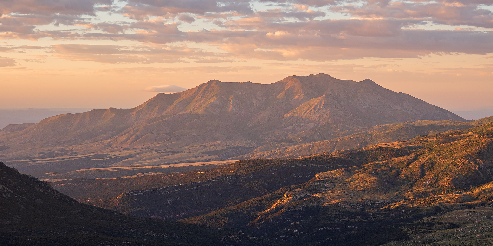
The Henry Mountains are a laccolithic mountain range that stand high above a sea of sandstone cut by deep canyons on the Colorado Plateau and were one of the last-surveyed and last-named mountain ranges in the contiguous United States. In 1869 John Wesley Powell made note of the range during his initial voyage down the Colorado River and called them the Unknown Mountains at the time. Then in 1871 he returned to the area on his second trip down the Colorado and renamed them to the Henry Mountains after Joseph Henry, a close friend who was secretary of the Smithsonian Institution. Last year I was planning to head back up into the Henry Mountains after Jared and I had spent a nice weekend there in 2022, but other trips came up and I never made it. This year I was determined to get back early in the summer to hike a couple new peaks and highpoints and chose to go this weekend. I left from work on Friday afternoon and made my way to Hanksville, and even though there were a lot of storms throughout the area this afternoon, some which caused flash flooding around Moab and the San Juan River, I managed to miss them all- aside from the wind. It seems that it’s frequently very windy out when I stop in Hanksville, and today was no exception!

2 Comments