Friday – Monday, September 6-9, 2019
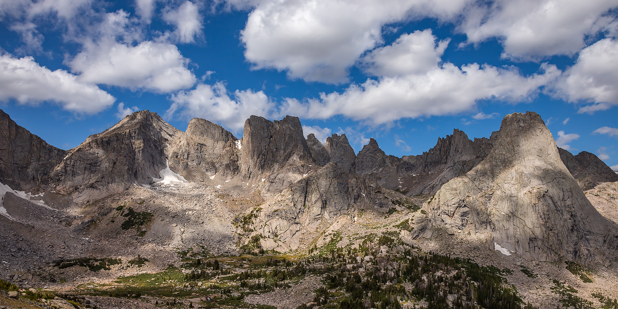
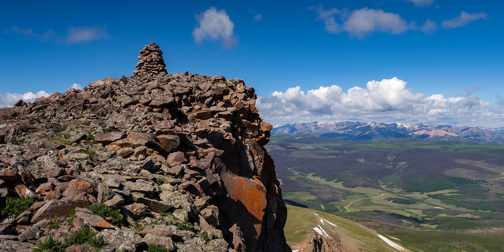
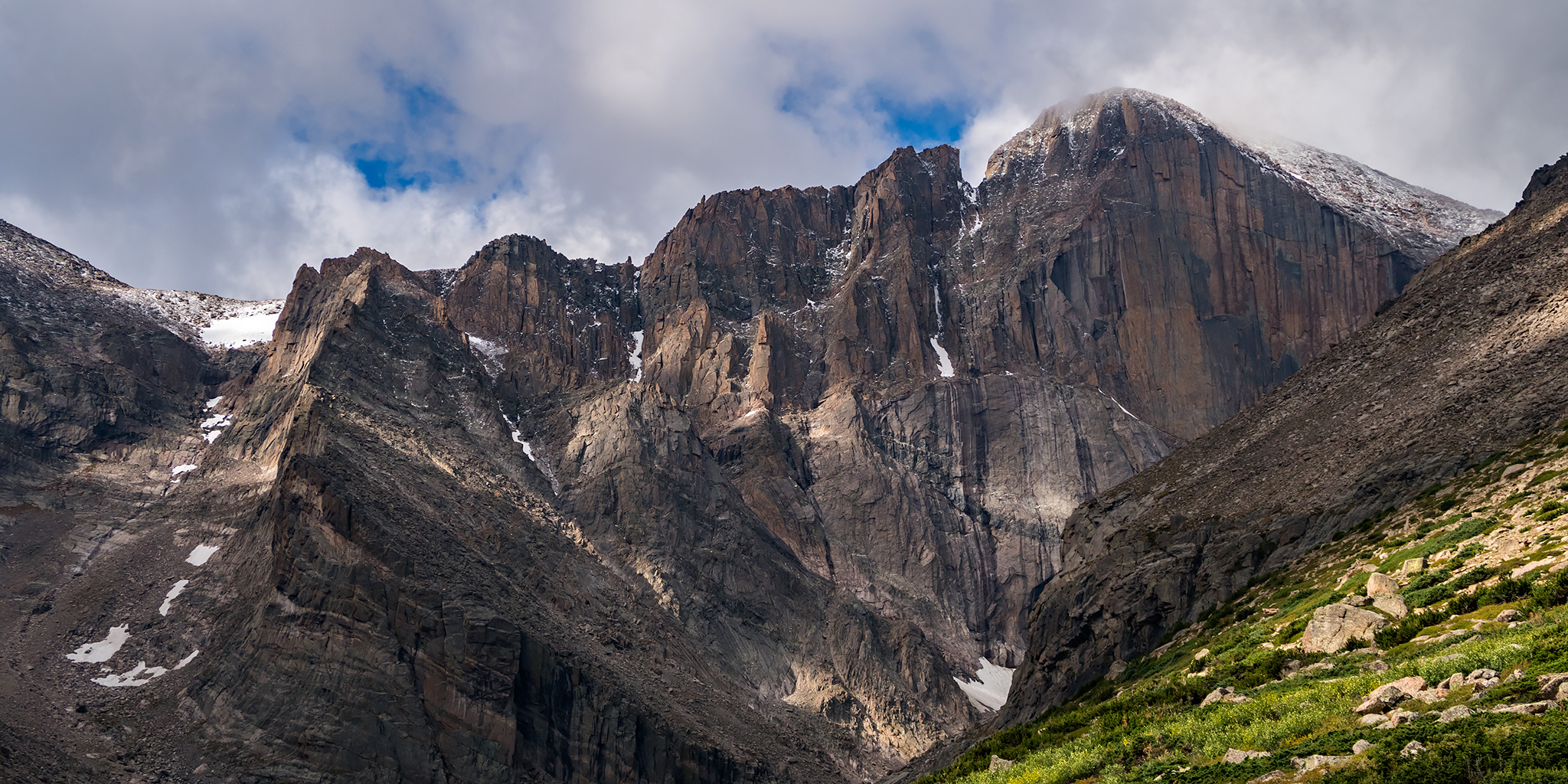
I took a day off from work to climb Longs Peak, but all I climbed this weekend was Cupid (13,117). Earlier this year when I was making plans that required permits in advance, climbing Longs Peak in Rocky Mountain National Park with an overnight stay in the Boulderfield was near the top of my list. While I know that many people climb Longs Peak in a long day, that is not the experience I was looking for and I was looking forward to spending a night in the Boulderfield before the climb. I was able to secure a permit back in March for this Sunday night and had hoped that this popular route wouldn’t be too crowded on a Monday in early September after Labor Day. Since I was unsure about my climbing ability and the exposure along this route, I invited my friend Jackson and his fiance Amy along to join me on this trip because I know that Jackson likes to climb and scramble. Unfortunately, this would not end up being my year to climb Longs Peak. Not only were we unable to make it to the Boulderfield on Sunday because of the weather, but even if we had made it up there I know that I would not have been able to climb the Keyhole Route on Monday morning since there was snow overnight and the route was covered in ice. I guess winter in the high country has arrived! Maybe I’ll give it another shot next summer…
Leave a Comment